5.2 km away
Upper Table Rock
A popular hike to a wonderful view over the Rogue Valley.
Moderate Hiking
- Distance
- 5.3 km
- Ascent
- 235 m
- Descent
- 235 m
A popular hike to a beautiful view over the Rogue Valley.
Hiking Moderate

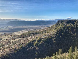
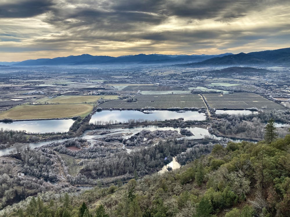
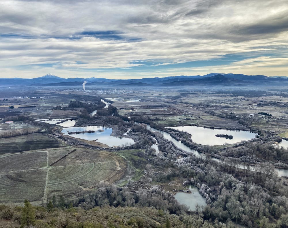
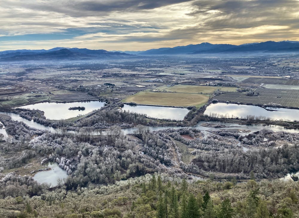
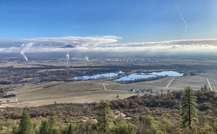
Lower Table Rock is located right on the outskirts of the city of Medford, Southern Oregon's largest population center. Consequently, the hike to the top of the rock with its stunning views over the valley below is very popular, with the trailhead staying full throughout most of the weekend. Despite the traffic from other hikers, this short push to the top of Lower Table Rock offers up stunning views that make it totally worth it!
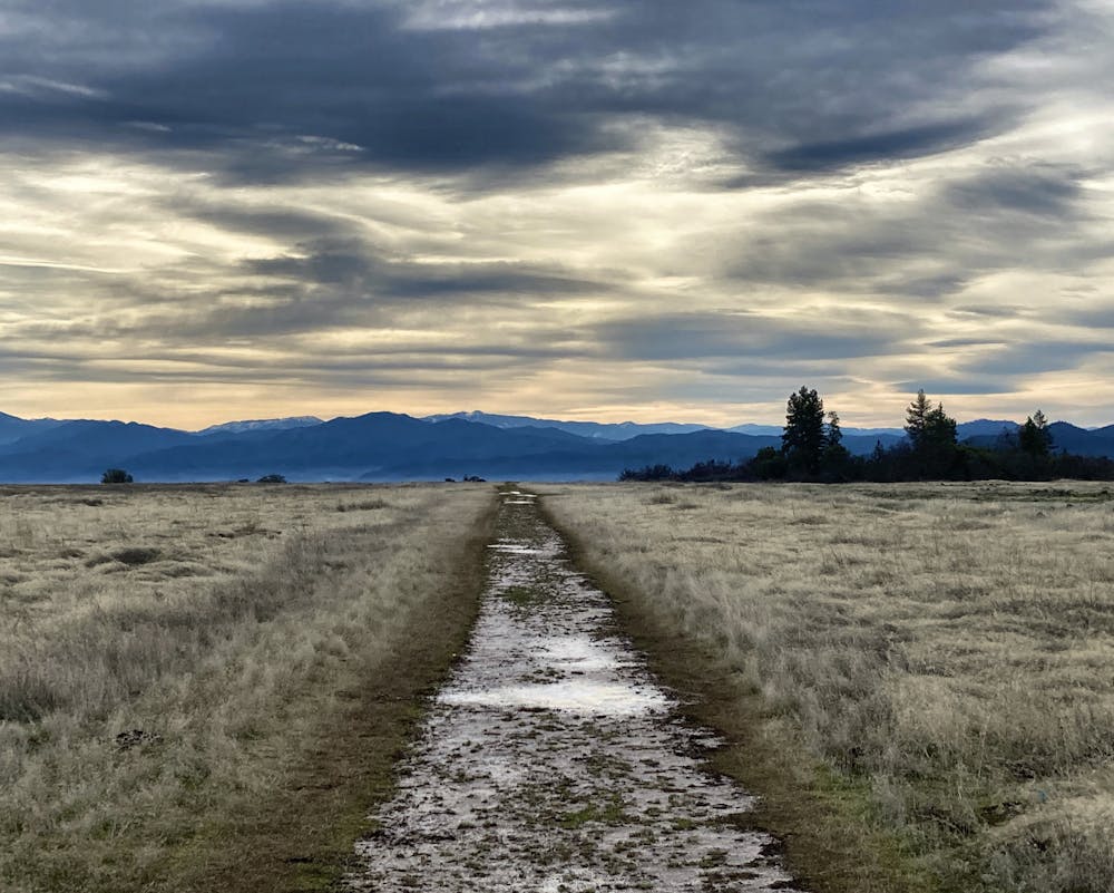
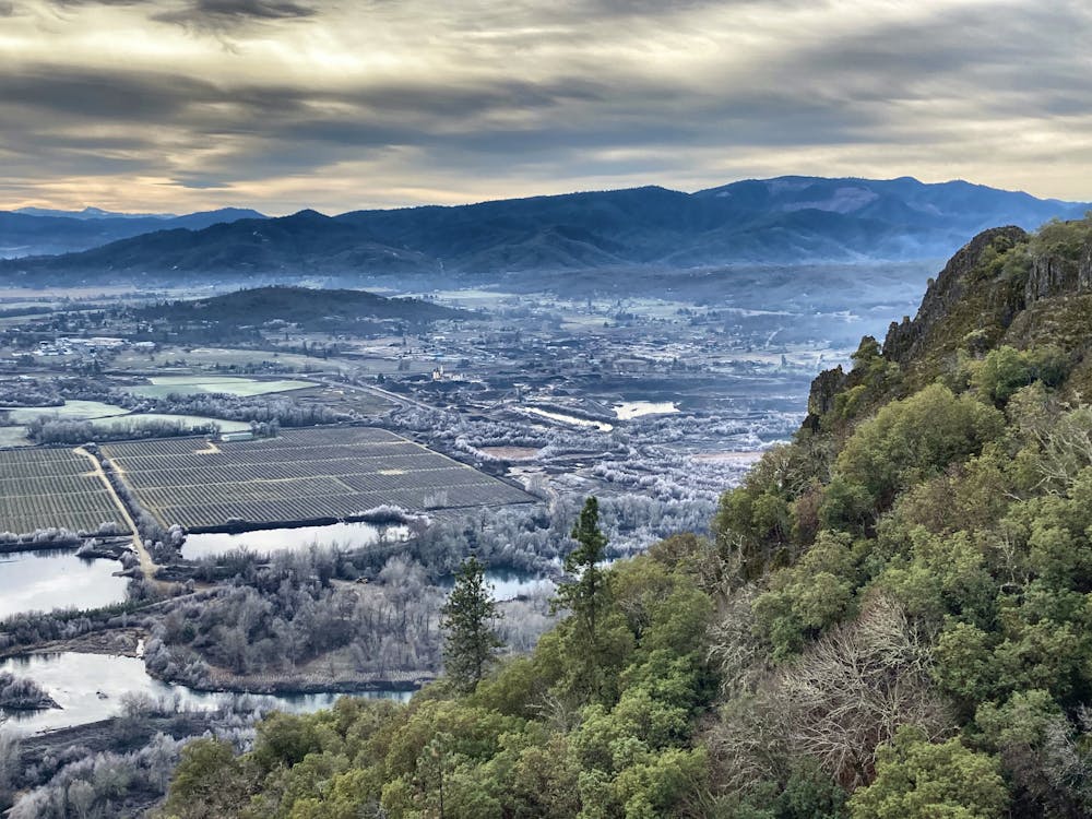
The hike up the side of the small mountain follows a well-defined trail that has seen a substantial amount of work and maintenance over the years to keep it sustainable. The trail has spread out into a wide track where two people can walk abreast in most places. Most of the trail is well-graveled and well-defined, making for an easy hike with no navigational difficulties. As you ascend, do note that the trail gets a bit rockier, but this hike is very approachable for most people.
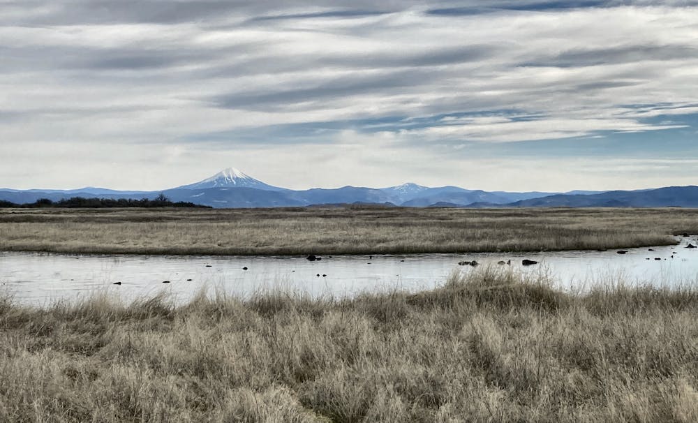
Once on top of the plateau, the views open up immensely, with stunning vistas of the beautiful Rogue Valley. You'll marvel at how this unique volcanic formation came to be, with an almost perfectly flat "table" on top. When exploring the top of the rock, please take care to stay on the designated trails and not to wander off course. Please respect this incredible place by leaving no trace.
The route mapped here runs all the way to the far end of Lower Table Rock, but if you want a shorter hike, you don't have to hike that far. You can quickly gain views shortly after reaching the top of the rock.
Finally, please note that dogs, horses, and bicycles are not allowed on this trail.
Moderate
Hiking along trails with some uneven terrain and small hills. Small rocks and roots may be present.

The trail contains some obstacles such as outcroppings and rock which could cause injury.

Close to help in case of emergency.
5.2 km away
A popular hike to a wonderful view over the Rogue Valley.
Moderate Hiking

52 routes · Mountain Biking · Freeride Skiing · Gravel Biking · Hiking · Road Biking
11 routes · Hiking