7.1 km away
Oaks Bottom: Bluff Trail
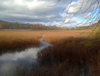
Leisurely trails among forest and wetlands, in a wildlife refuge tucked within the city.
Easy Hiking
- Distance
- 6 km
- Ascent
- 118 m
- Descent
- 117 m
A walk among the trees on Mount Tabor, Portland's resident volcano.
Hiking Easy
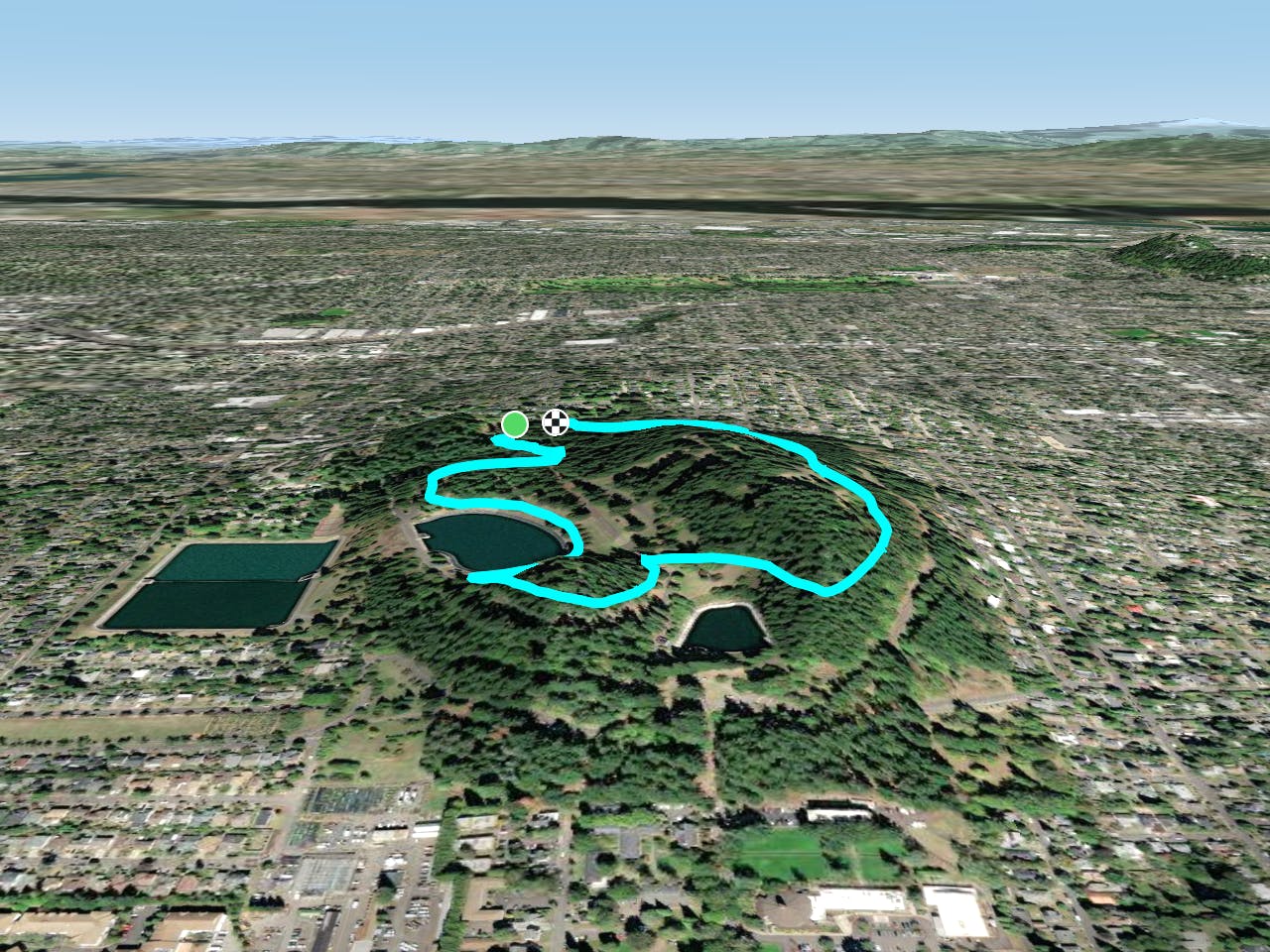
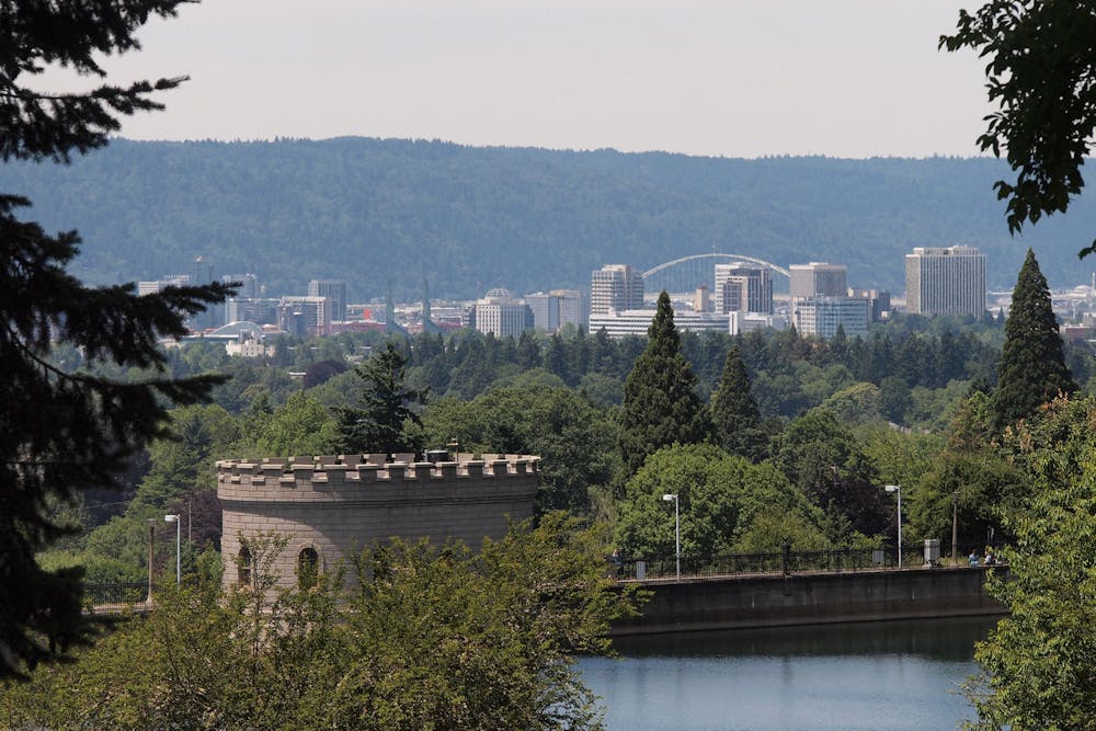
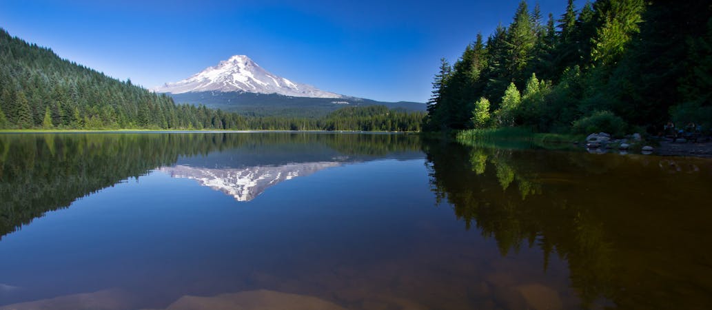
Mount Tabor is the neighborhood recreation area for many Portlanders, as one of the few forested hills in this part of the city. It’s actually an extinct volcano, which is why it rises so starkly from the otherwise flat surroundings. For the generally outdoors-inclined residents of the area, Tabor is the go-to spot for walking and cycling on trails beneath tall trees. It’s a city park with many paths twisting throughout, plus ponds, picnic areas, and a dog park. It’s all packed into a rather small area, but shrouds of foliage give a sense of seclusion in spring and fall. The park is home to 81 species of trees, according to Friends of Mt. Tabor. The most obvious are the Douglas firs which tower overhead, and lend their soft needles to the forest floor. From certain viewpoints you can see beyond the trees to downtown Portland. You can also glimpse Mount Hood and more of the Cascade volcanoes on the horizon.
The trails and roads that wind tightly around the hill are easy to confuse because of the many junctions and lack of signs. The track mapped here roughly follows a path known as the Outer Loop, but there’s no reason to stick to this or any particular route. The trails all connect and remain within a rather concise area. You’ll find gradual inclines as well as steep slopes and stairs, perfect for getting a workout if your goal is training for bigger hikes. If you simply seek a calm walk in nature, the park is great for that too. It’s never the place to find solitude because of its location in the middle of the city, but going at less-busy times can earn some peace and quiet nonetheless.
Sources: https://www.portland.gov/parks/mt-tabor-park https://www.taborfriends.org/maps
Easy
Walking along a well-kept trail that’s mostly flat. No obstacles are present.

The path is on completely flat land and potential injury is limited to falling over.
Close to help in case of emergency.
7.1 km away
Leisurely trails among forest and wetlands, in a wildlife refuge tucked within the city.
Easy Hiking
8.3 km away
Take an easy walk or a tougher hike on the varied trails of this nature park, among impressive views and abundant wildlife.
Easy Hiking
9.4 km away

"The longest soft-surface hiking trail" within an urban boundary in the USA.
Moderate Hiking
10 routes · Hiking · Trail Running
5 routes · Hiking