
72 routes · Hiking
Miles 1742.7-1773.4 of the northbound PCT: Following the Cascade Crest farther into Oregon, through deep conifer forest and over beds of ancient lava.
Hiking Moderate

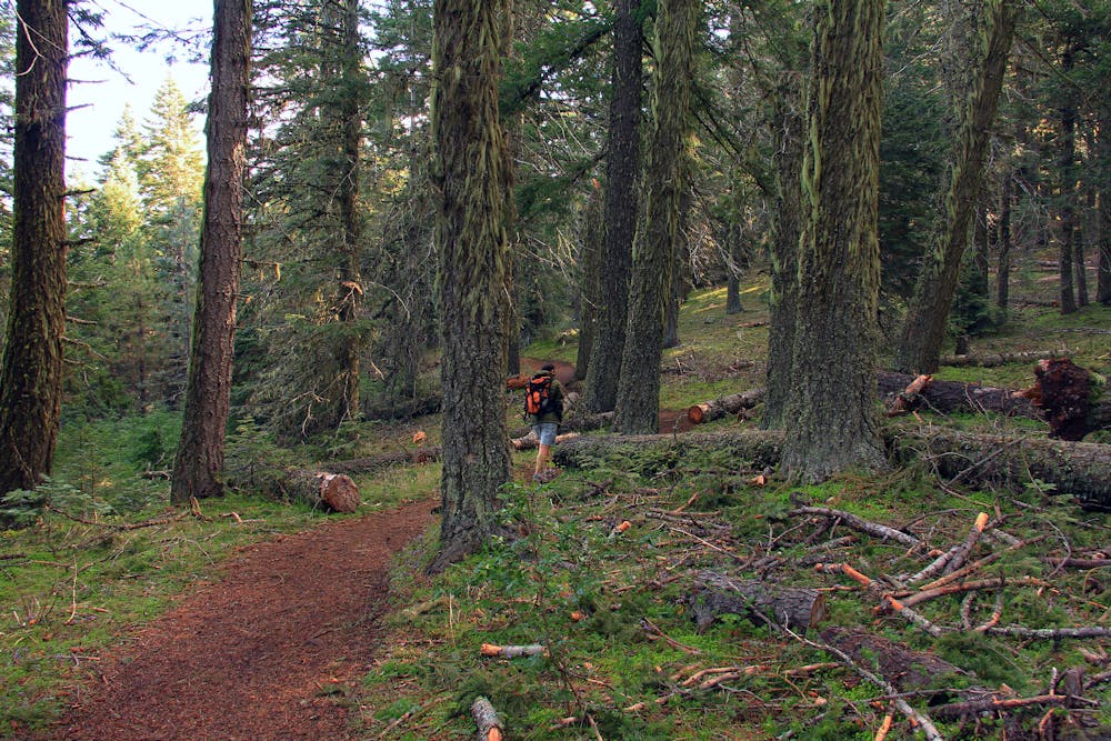
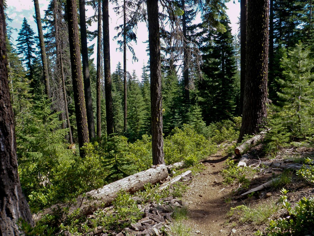
Here the PCT wanders through the High Lakes Region of southern Oregon, along the Cascade Crest. Most of the miles are though shadowy forest, dominated by stately douglas-fir trees. The occasional clearings come at lakesides, in grassy meadows, or in fields of lava rock on volcanic slopes. Though the forest provides shade, summer conditions are typically very hot and dry, and the sections on the lava beds can really heat up. Expect to carry lots of water between sources that are sometimes far apart.

The PCT traverses along hillsides above Hyatt Lake, through forest and meadows with frequent views to the water. Departing from this lake, the trail makes a short climb up a forested hill, then traces a ridge down the other side to reach Howard Prairie Lake (NB mile 1750.4). A short side trail leads to Klum Landing Park which has water spigots at a campground. A bit farther on, two bridges lead over a canal and then a creek (NB mile 1751.2). The creek normally has water, but it can dry up.
From there the trail takes a gradual climb through continual forest, crossing a few minor roads. Along the way is a piped spring (NB mile 1755.2) that hopefully has a good flow of water. After traversing some meadowy slopes on a hill called Old Baldy, a descent and some rolling terrain eventually leads to Dead Indian Memorial Road (NB mile 1761.6), a paved road with moderate traffic and a trailhead parking area.
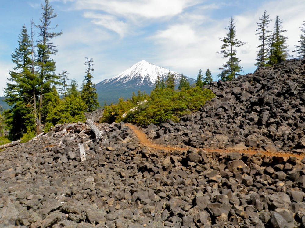
A key water source comes at South Brown Mountain Shelter (NB mile 1763.3) where there is a large water pump. There’s also a small cabin and a picnic table here, making a nice spot to camp or take an extended rest. Next is the traverse around the base of Brown Mountain, a massive cinder cone volcano. The trail crosses a geologically young lava flow on the mountain’s west flank, where the path cuts through swaths of jumbled lava rock. Occasionally the even larger volcano, Mount McLoughlin, is visible up ahead.
The section ends at the next paved road, which is Highway 140 near Fish Lake. Two miles west is the Forest Service Fish Lake Campground as well as the private Fish Lake Resort. The Forest Service site has standard campground amenities like drinking water and toilets. The resort has a bit more to offer hikers: a cafe, small store, laundry and showers, and the ability to accept resupply packages.
Permits: This segment starts in Cascade-Siskiyou National Monument and goes into Rogue River National Forest. No permits are needed for hiking or camping, but a Northwest Forest Pass may be required for parking at certain trailheads.
Moderate
Hiking along trails with some uneven terrain and small hills. Small rocks and roots may be present.

The trail contains some obstacles such as outcroppings and rock which could cause injury.
Away from help but easily accessed.
72 routes · Hiking