
72 routes · Hiking
A very tempting deviation from the PCT to camp beside forest lakes, for a change in scenery and reliable water in late summer.
Hiking Moderate

Oregon’s PCT Section C is known for long hauls without water, and without much change in scenery through miles of conifer woods. To switch it up, many PCTers choose to take the Sky Lakes alternate route, which adds a few miles but earns idyllic camping by secluded lakes. This route dips into a basin to the east, while the PCT remains on the elevated crest. In mid to late summer, when water is scarce along the PCT, one night’s deviation to the Sky Lakes is well worth it. Earlier in the season it may be less appealing, however, because mosquitoes are worse near the lakes at that time.
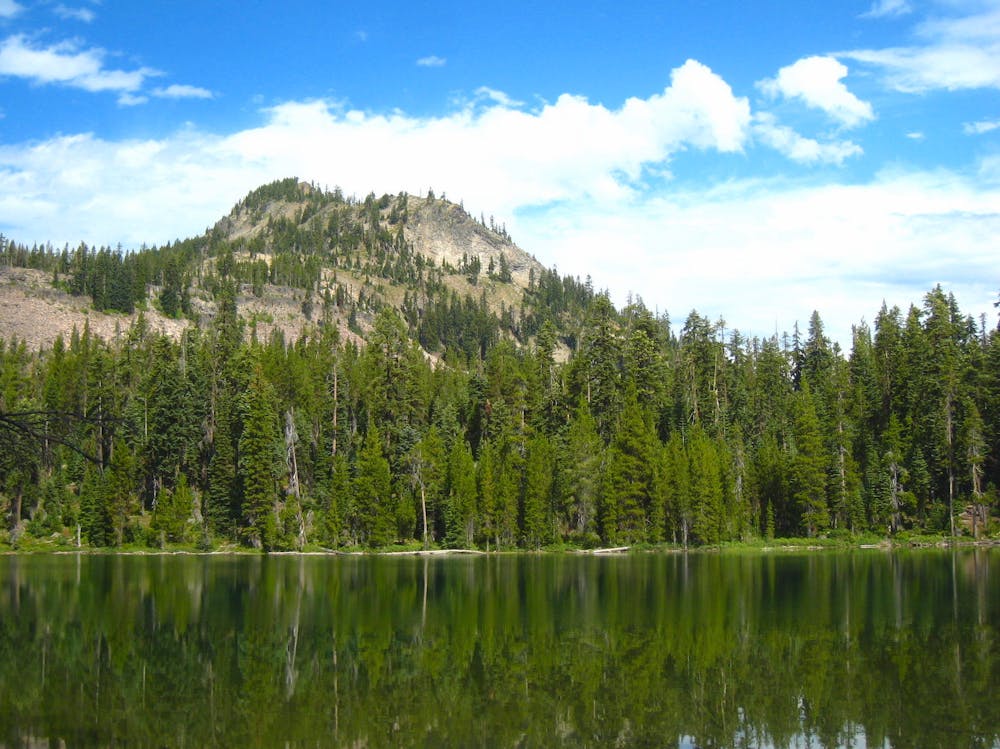
To take the Sky Lakes alternate, northbound PCTers should turn on the Sky Lakes Trail (NB mile 1790.4), which descends into the basin and quickly finds the first lake. Even better lakes await just ahead, and you’ll likely have your choice of supreme camp spots by Heavenly Twin Lakes, or farther on at Trapper or Margurette Lake. These three are the largest of the many lakes in the basin. All of them feel very secluded, surrounded by tall pines and lined with dark rock, with timbered volcanic crags as a backdrop.
From the Sky Lakes basin there are actually two options for rejoining the PCT. The first is Divide Trail, which climbs from Margurette Lake and hits the PCT near NB mile 1795. The second option is what’s mapped here, which is Snow Lakes trail. This option keeps you in the basin a little bit longer, and makes a less-steep climb to the PCT, also passing a handful of bench lakes for water along the way. Snow Lakes rejoins the PCT at NB mile 1796.
Moderate
Hiking along trails with some uneven terrain and small hills. Small rocks and roots may be present.

The trail contains some obstacles such as outcroppings and rock which could cause injury.

Little chance of being seen or helped in case of an accident.
72 routes · Hiking