4.7 km away
Collings Mountain
Hike past a bigfoot trap to gain beautiful views from the top of Collings Mountain.
Difficult Hiking
- Distance
- 6.6 km
- Ascent
- 424 m
- Descent
- 424 m
Enjoy stunning 360-degree views from the top of Stein Butte.
Hiking Difficult

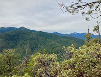
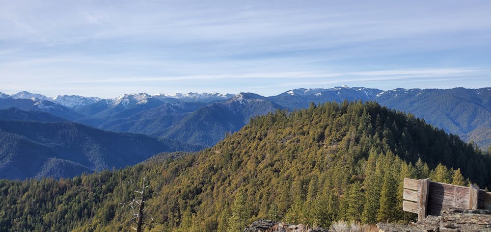
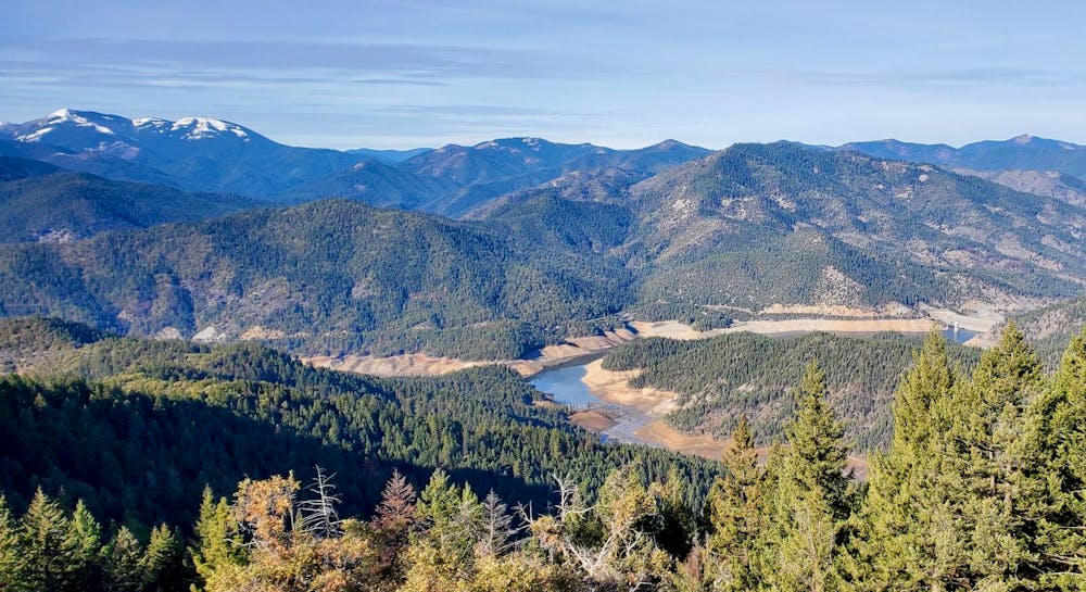
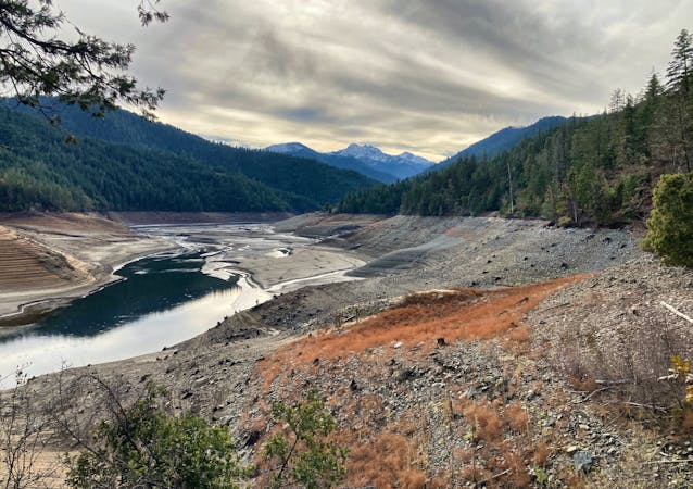
The hike to Stein Butte may be the closest you'll come to hiking directly on the Oregon/California border: the summit of the butte is only half a mile north of the border! Even without this unique distinction, Stein Butte is a worthy objective, thanks to the stunning 360-degree views of the Siskiyous and Applegate Lake afforded by the bald summit.
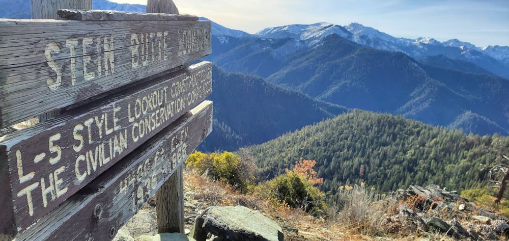
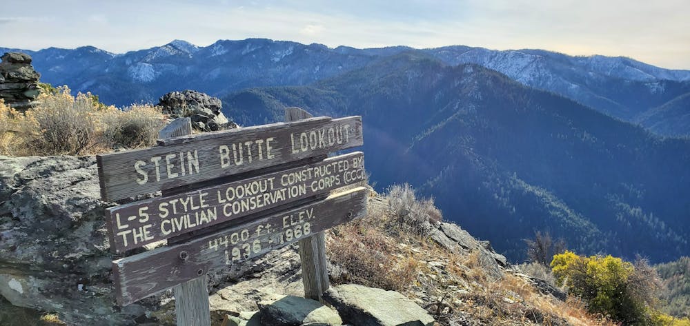
Stein Butte also has historical significance, as it was "named for one of the many prospectors who mined in this vicinity during the early gold rush years of the 1850s and 1860s," according to the USFS. "Evidence of hydraulic, surface and lode mining activity that dates from the turn of the century is present along the trail."
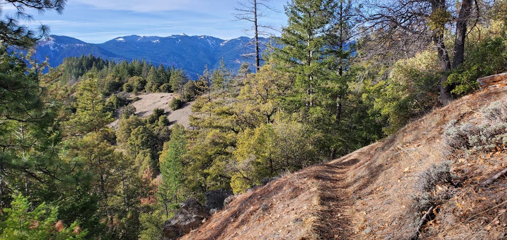
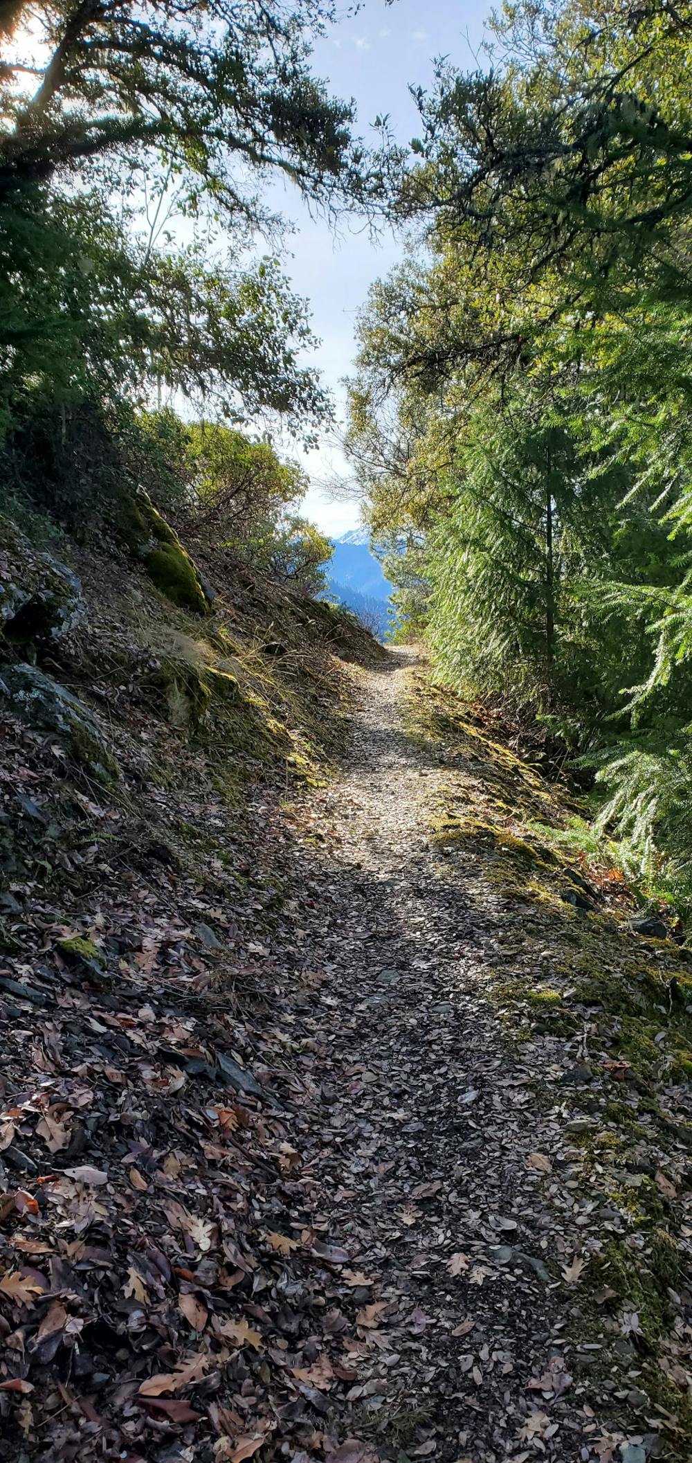
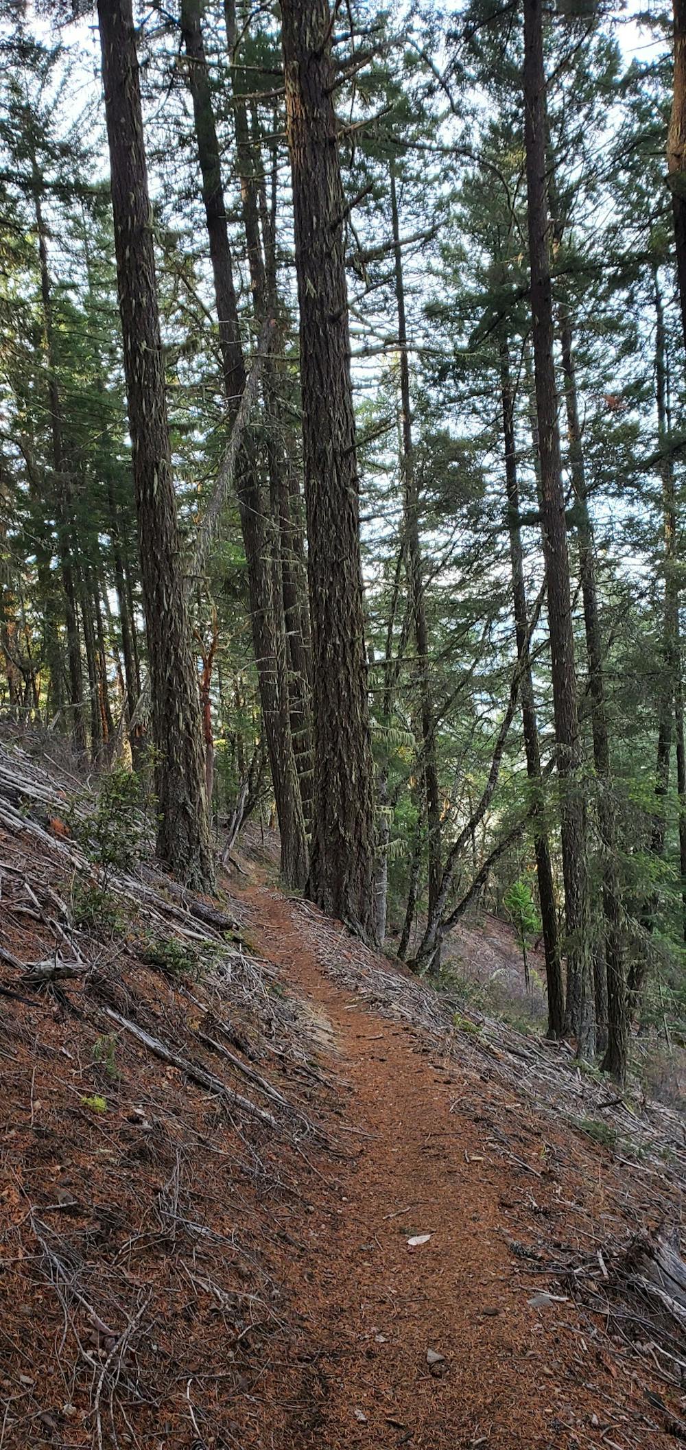
The hike begins at a trailhead on the far southern end of Applegate Lake. The trailhead itself is exceedingly remote, so once you're on the singletrack, prepare to be self-sufficient! While the trail is legal and open for motorcycles and mountain bikes, bring everything that you may possibly need with you, because you might not see anyone else on this remote trail.
You'll begin by passing under the highway and then climbing a series of steep switchbacks directly out of the parking lot. After about 2.5 miles of steep climbing, the grade levels off slightly while still ascending Elliot Ridge to the high point on top of Stein Butte. You'll have to negotiate a short, steep spur trail to reach the very top of the butte.
Once you're done enjoying the view, the best plan is to return the way you came. However, if you're feeling adventurous and have done a bit of planning in advance, the USFS notes that "a loop can be made by leaving the ridgeline at the trail junction, approximately 0.3 miles east of the side trail, at the top of Stein Butte. At this junction, follow the New London Trail #928 (Length: 2.6 miles) down the relatively steep grade to Elliott Creek Road (FS Road 1050). Turn right at the trailhead and follow the road to return to Seattle Bar."
Sources: https://www.summitpost.org/stein-butte/155101 https://www.fs.usda.gov/recarea/rogue-siskiyou/recarea/?recid=70364
Difficult
Hiking trails where obstacles such as rocks or roots are prevalent. Some obstacles can require care to step over or around. At times, the trail can be worn and eroded. The grade of the trail is generally quite steep, and can often lead to strenuous hiking.

The trail contains some obstacles such as outcroppings and rock which could cause injury.

In the high mountains or remote conditions, all individuals must be completely autonomous in every situation.
4.7 km away
Hike past a bigfoot trap to gain beautiful views from the top of Collings Mountain.
Difficult Hiking
5 routes · Mountain Biking · Hiking