Umatilla Rim Point-to-Point
Ultra-scenic point-to-point hike with little elevation gain or loss.
Hiking Moderate
- Distance
- 15 km
- Ascent
- 372 m
- Descent
- 348 m
- Duration
- 3-4 hrs
- Low Point
- 1.5 km
- High Point
- 1.6 km
- Gradient
- 5˚

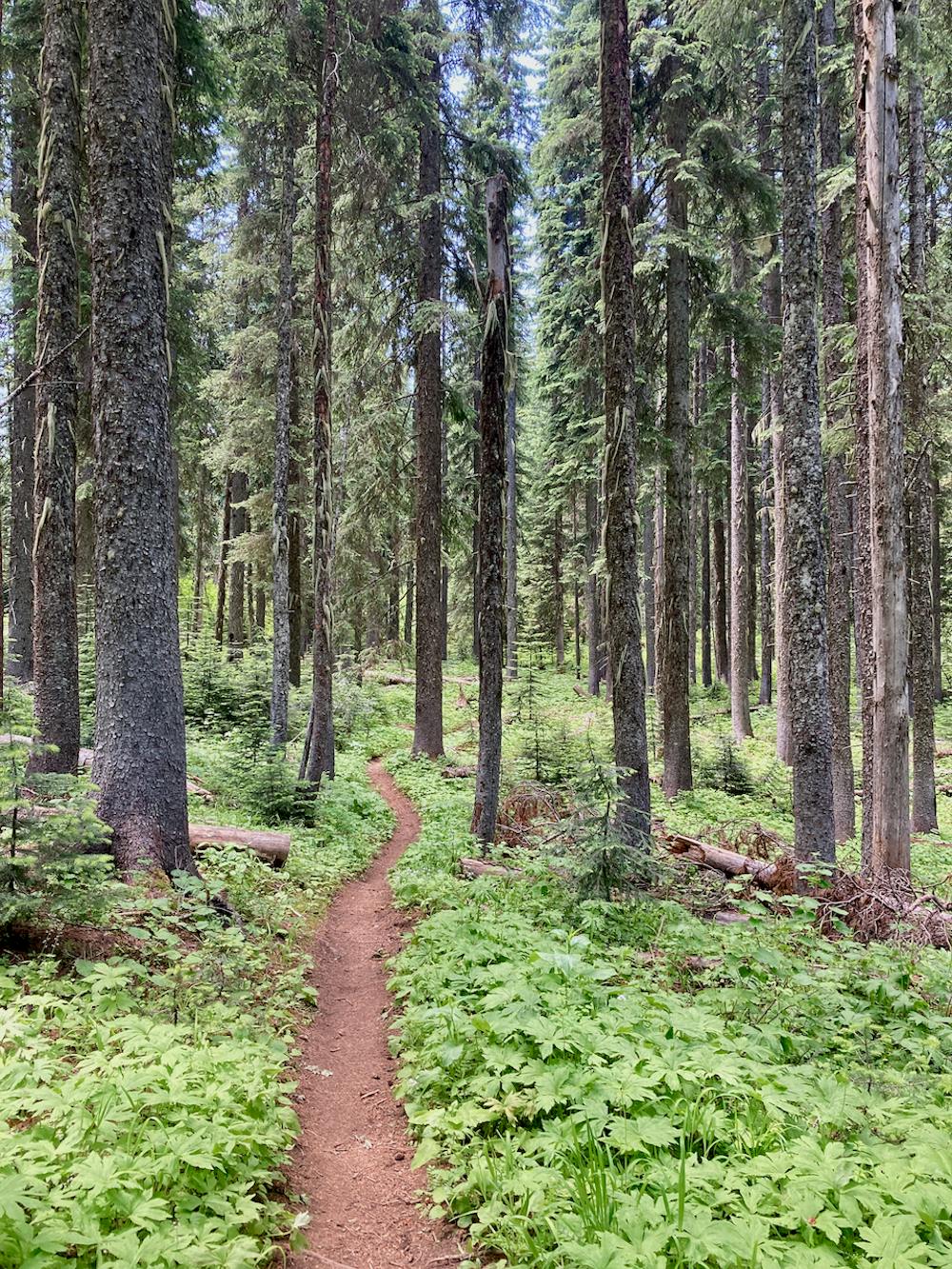
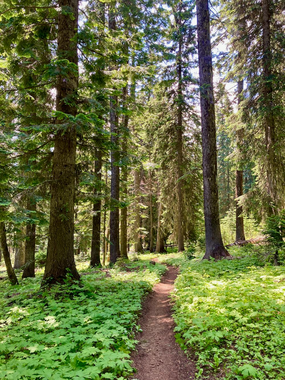
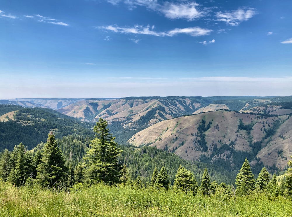
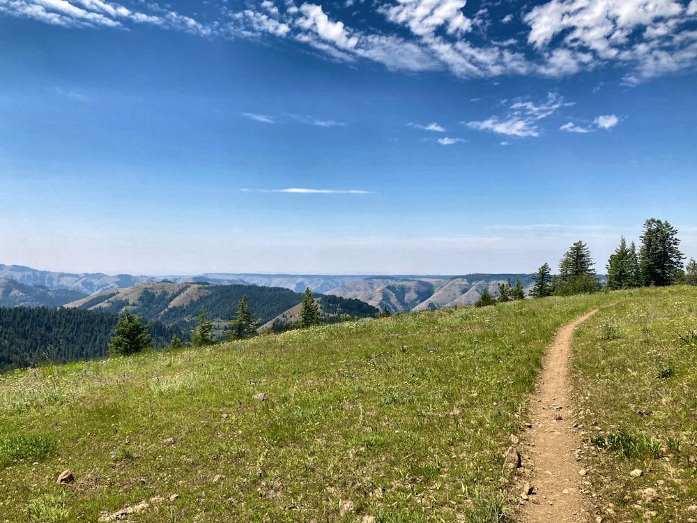
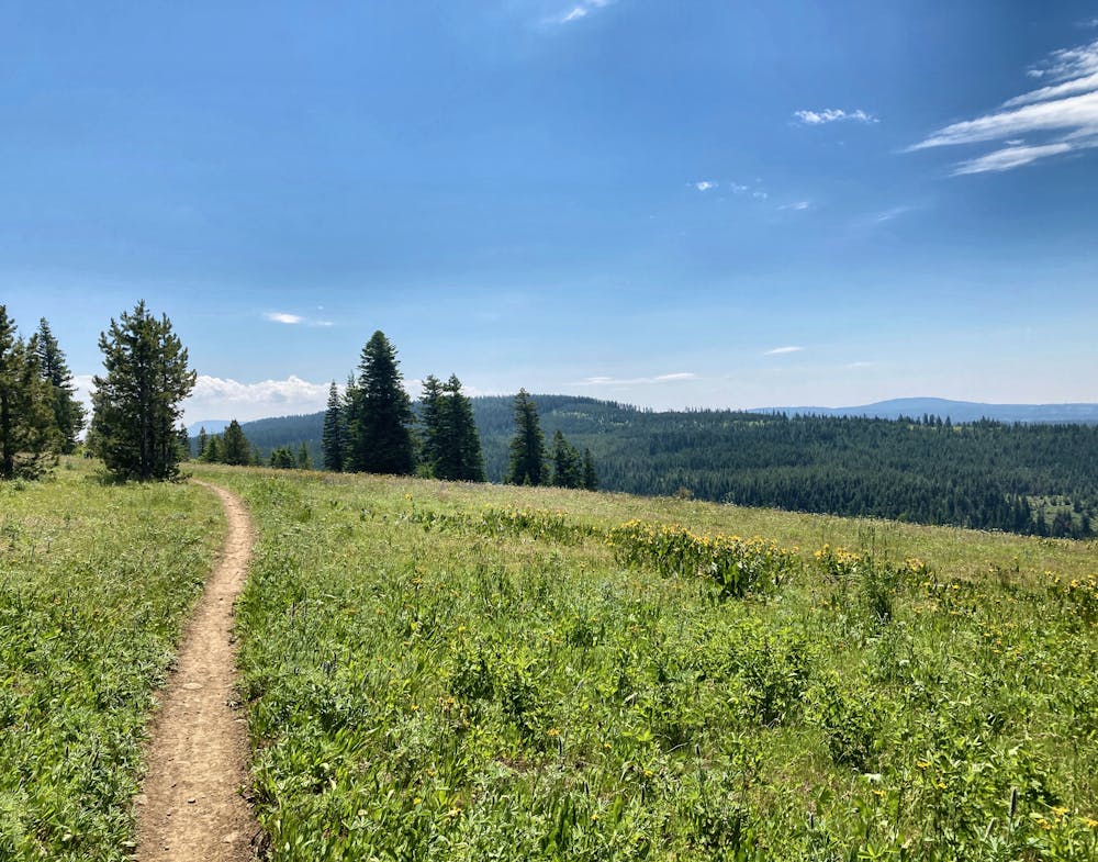
Serpentine strips of dark, black dirt run through the deep woods of the Umatilla National Forest, breaking out into wildflower-filled mountain top meadows that afford stunning views of the deep gorge formed by the Umatilla River. With singletrack this sublime and views this stunning, the Umatilla Rim Trail is an instant classic!
- •
- •
- •
- •
- •
Description
If it was located in another part of the nation or even in a different part of Oregon, undoubtedly Umatilla Rim would be an ultra-popular hike with nationwide acclaim. But since it’s hidden in an obscure corner of the state of Oregon, far from any population centers or even any top-tier mountain destinations, the Umatilla Rim flies delightfully below the radar. In fact, some sections of the trail are downright overgrown!
To skip the overgrown sections and hike all of the better-maintained sections of the trail, consider using two cars for a point-to-point hike on this stretch of trail. While this does increase the logistical complexity of the hike, getting to cover 9.2 miles of trails without any backtracking is a rare treat! True badasses could, of course, hike (or run) an 18.4-mile out-and-back on this portion.
For a shorter out-and-back route, head to the end of this trail as mapped, and hike out-and-back from the Ninemile Trailhead. The Ninemile Trailhead gets you very close to some of the best rim views, offering a delightful quick hike!
Difficulty
Moderate
Hiking along trails with some uneven terrain and small hills. Small rocks and roots may be present.
Low Exposure

The path is on completely flat land and potential injury is limited to falling over.
Remoteness

Little chance of being seen or helped in case of an accident.
Best time to visit
Features
- Picturesque
- Dog friendly
- Wild flowers
- Family friendly
- Forestry or heavy vegetation