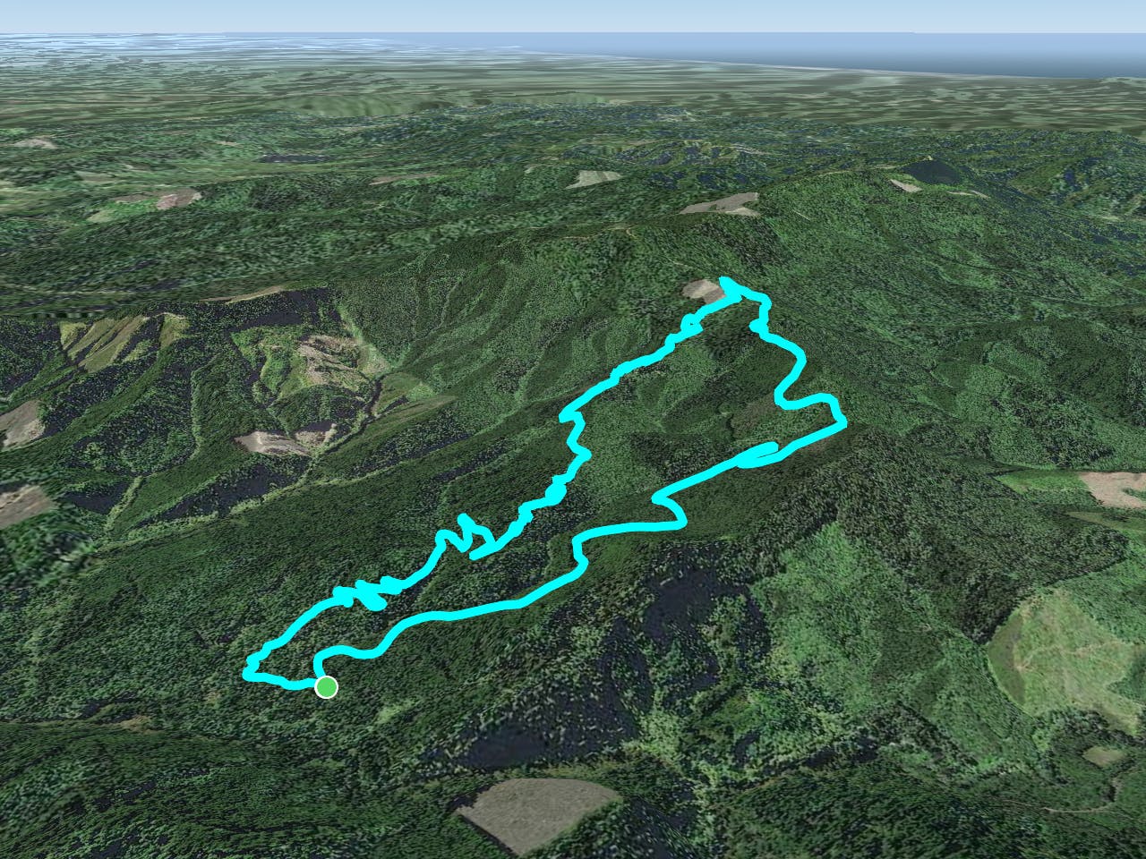
3 routes · Mountain Biking
Widely regarded as one of the top trails in Oregon.
Mountain Biking Difficult
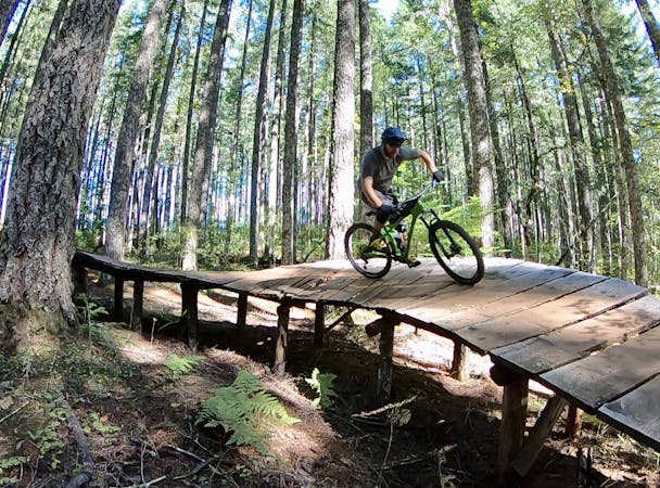
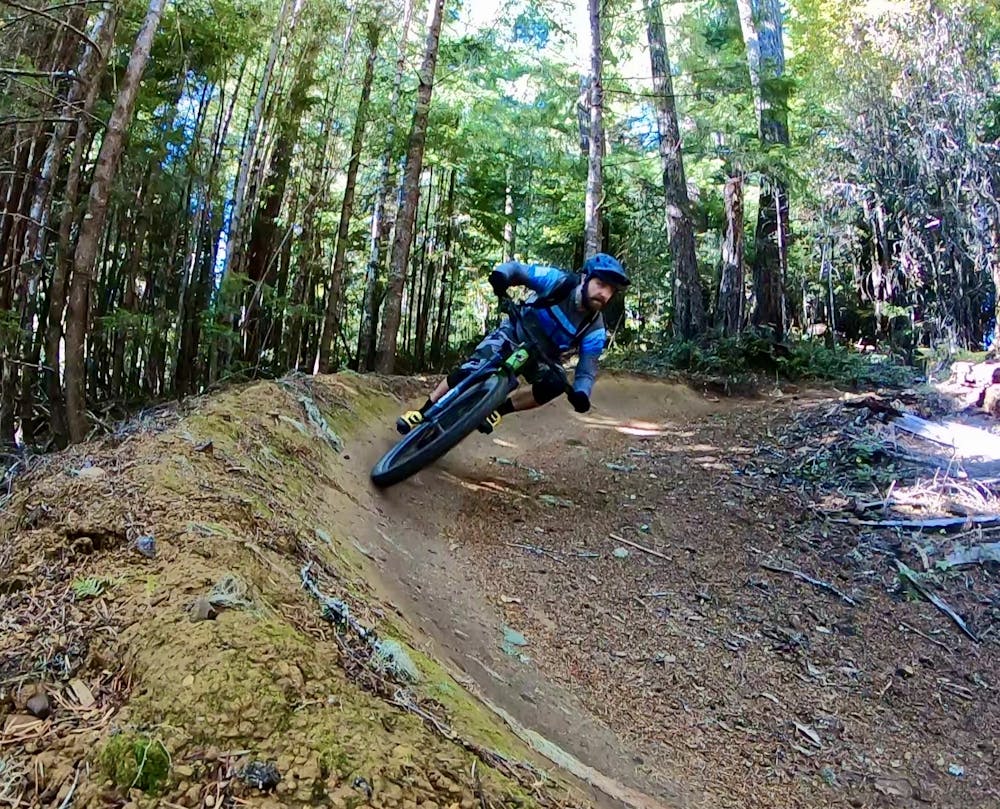
Alsea Falls is regarded by many mountain bikers as one of the top trails in the state of Oregon. This widespread renown is due to the machine built flow trail that swoops down the mountainside through the lush forest of the Coast Range. Originally built in 2012, many might argue that there are now better flow trails to be ridden in Oregon, but Alsea continues to attract riders from across the country.
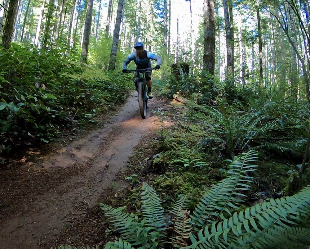
The route shown here includes the classic flow trail, with a few newer (and more difficult) sections of trail built higher up the mountain. This trail is very approachable for intermediate riders, with predictable lines, reasonable trail speed, and no major obstacles to overcome. While the roots and dirt are often treacherously slick thanks to the constant precipitation and humidity in the Coast Range, the trails are still quite achievable for most riders.
On the original flow line, many of the jumps can feel a bit awkward or ill-conceived, but local riders familiar with the lines can probably send them with reckless abandon. This awkwardness might be due to the wear parts of the trail tread has seen over the years, or it could be due to a lack of foresight in the original build back in 2012. Flow trail design and construction has, generally speaking, come a long way in the past 8+ years.
For bigger and better air opportunities, on the opposite side of the access road you'll find a much newer line designed for advanced mountain bikers, named "Chutes and Boulders." While some sources give this trail a double black diamond rating, many local riders assert that such a rating is overblown and that it's a black diamond at best.
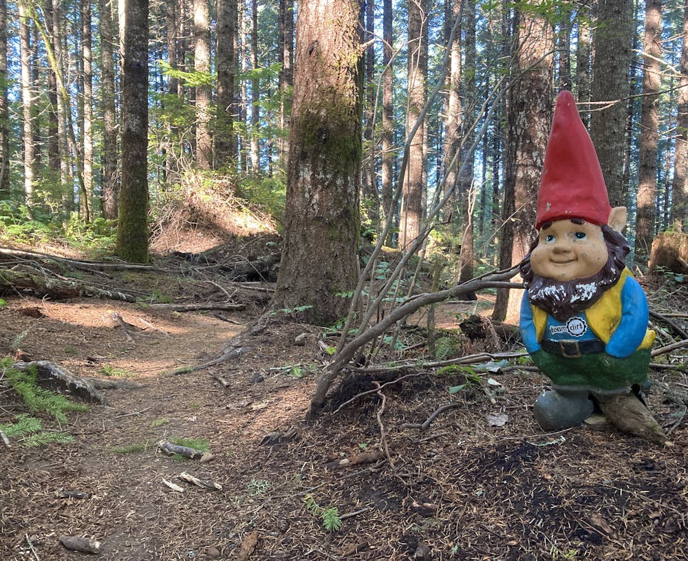
However you rate the trails, the Team Dirt folks continue to build better and better lines at Alsea Falls, and riders keep coming back for more!
Difficult
Mostly stable trail tread with some variability featuring larger and more unavoidable obstacles that may include, but not be limited to: bigger stones, roots, steps, and narrow curves. Compared to lower intermediate, technical difficulty is more advanced and grades of slopes are steeper. Ideal for upper intermediate riders.

The trail contains some obstacles such as outcroppings and rock which could cause injury.

Little chance of being seen or helped in case of an accident.
3 routes · Mountain Biking