
52 routes · Mountain Biking · Freeride Skiing · Gravel Biking · Hiking · Road Biking
Twisty singletrack with a few hidden gems.
Mountain Biking Moderate

Grants Pass's in-town trail system offers tightly-wound singletrack with a variety of options. While most of these trails are decidedly multi-use, a few of the descents have definitely been optimized for mountain bikes!
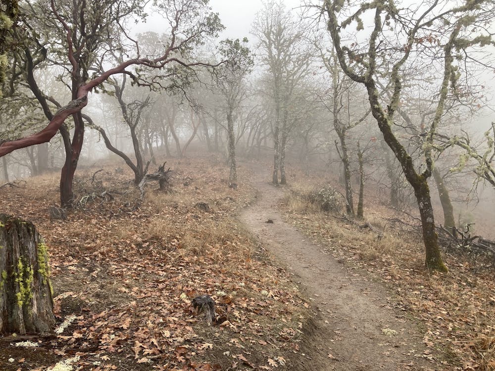
The ride begins from one of the most accessible Cathedral Hills trailheads, close to Grants Pass. If staying in Grants Pass, you can definitely ride here from town, but depending on where your lodging is you may have to pedal a few miles of pavement.
The route begins by climbing a few twisty but well-built stretches of singletrack. The trail makes for the top of a low ridge, where the fun really begins. The best descents in the region actually drop down the opposite side of the ridge, meaning you'll have to climb back up and over to return to the trailhead. But take heart—the ridge is quite small, and the downhills are short.
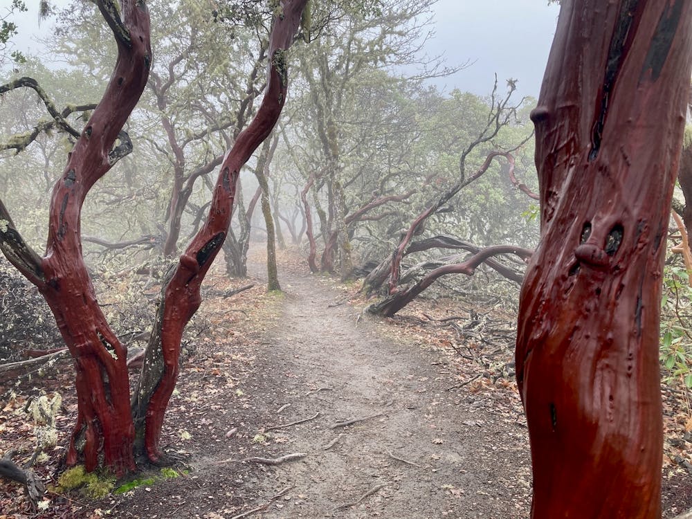
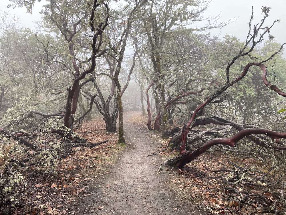
Sugar Bowl is one of the best bike-optimized downhills. This flowy trail runs through a couple of beautiful berms at the top, before flowing down smooth singletrack to the base of the ridge.
Bridges is also a ton of fun on a bicycle. This trail swoops up and down the sides of a narrow gulley, crossing a series of small bridges in the bottom of the drainage. The trail grades are steeper and the speeds are faster than Sugar Bowl, but the singletrack is still very smooth. The trail signs label Bridges as a black diamond trail, but that dramatically overstates its difficulty. This entire route through Cathedral Hills only gets a "Moderate" FATMAP rating.
After climbing back over the ridge, you can tack on the Skycrest Loop for some bonus miles and a few views over the region. Or if you're short on time, simply head back to the trailhead and wrap up your ride.
Moderate
Mostly stable trail tread with some variability, with unavoidable obstacles 8in/20cm tall or less. Other obstacles such as rock gullies and steep sections may exist. Ideal for lower intermediate riders.

The trail contains some obstacles such as outcroppings and rock which could cause injury.

Close to help in case of emergency.
52 routes · Mountain Biking · Freeride Skiing · Gravel Biking · Hiking · Road Biking