0 m away
Syncline Trails: Hidden Canyon Loop
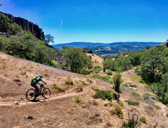
One of the longest and most rewarding rides in the Syncline trail network.
Difficult Mountain Biking
- Distance
- 10 km
- Ascent
- 395 m
- Descent
- 395 m

Get a little taste of Moab, a la Porcupine Rim.
Mountain Biking Severe

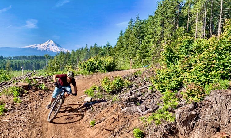
When all the other trails are too wet and snowy to ride, the locals head to the Syncline area. This exposed, south facing mountainside catches sunlight all year round, melting snow fast and drying the dirt quickly after a rain. In fact, if you’re coming to the Hood River area in hopes of finding deep, dark Pacific Northwest forests to ride in and you choose to pedal in the Syncline area, you may be shocked at how dry, rocky, and barren the terrain actually is. But of course, dry and rocky can make for fantastic mountain biking!
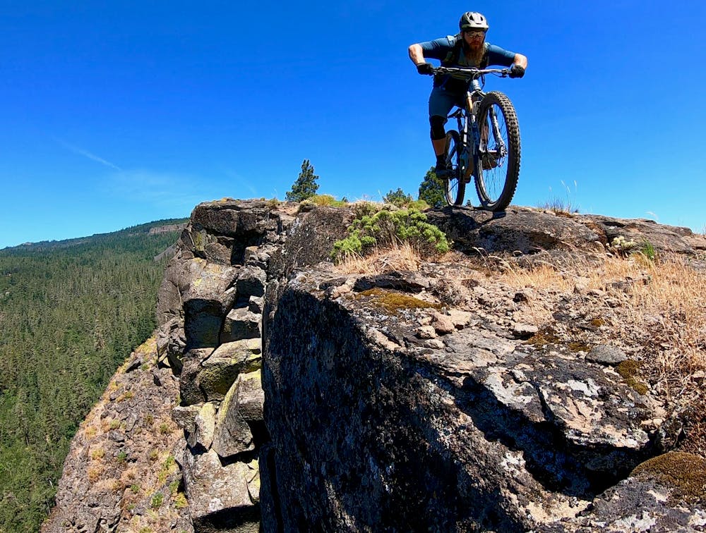
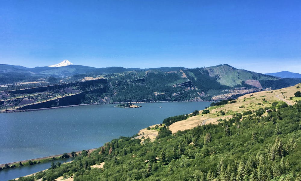
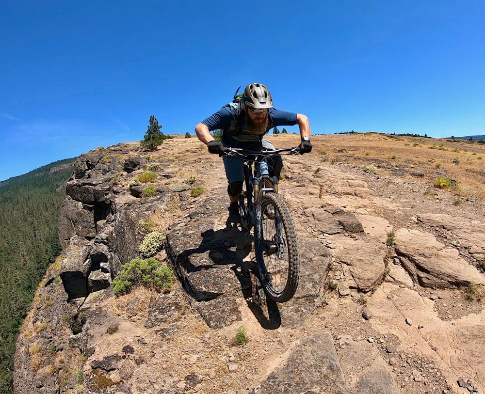
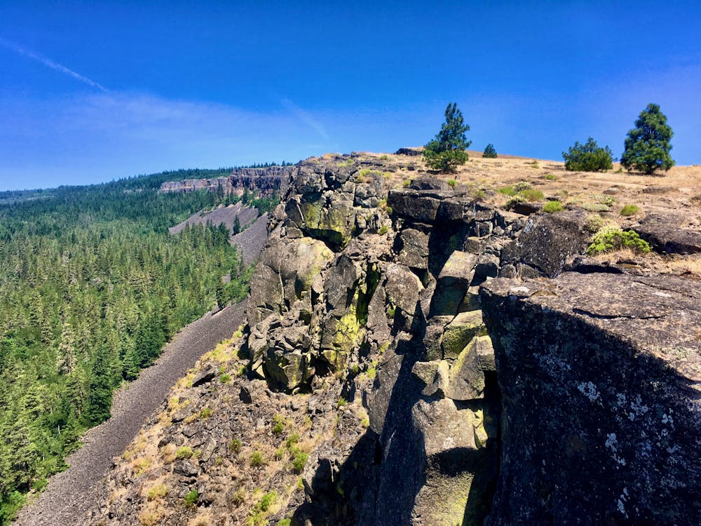
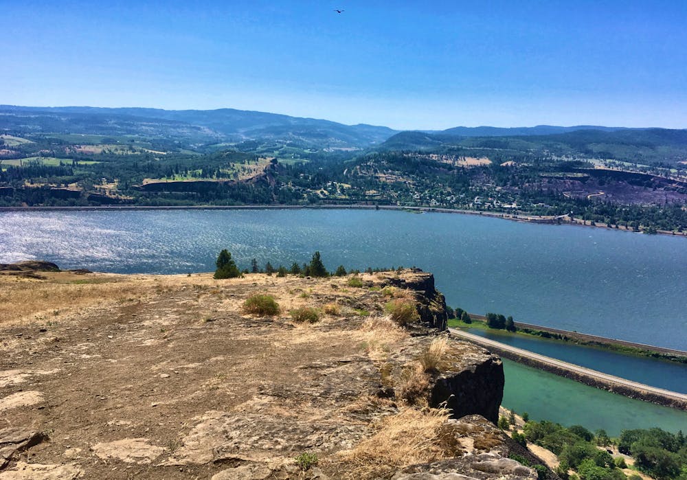
This route in particular loops the Little Moab trail. Little Moab descends along the rim of a gigantic rock wall that rock climbers ascend from below. For those who have ridden Porcupine Rim in Moab, the resemblance is striking! Of course, the scale is a bit different here… but what the Syncline area lacks in red rock views it makes up for in sweeping vistas of the stunning Columbia River Gorge. Riding Moab-style trails with a massive expanse of water right below you? Surreal!
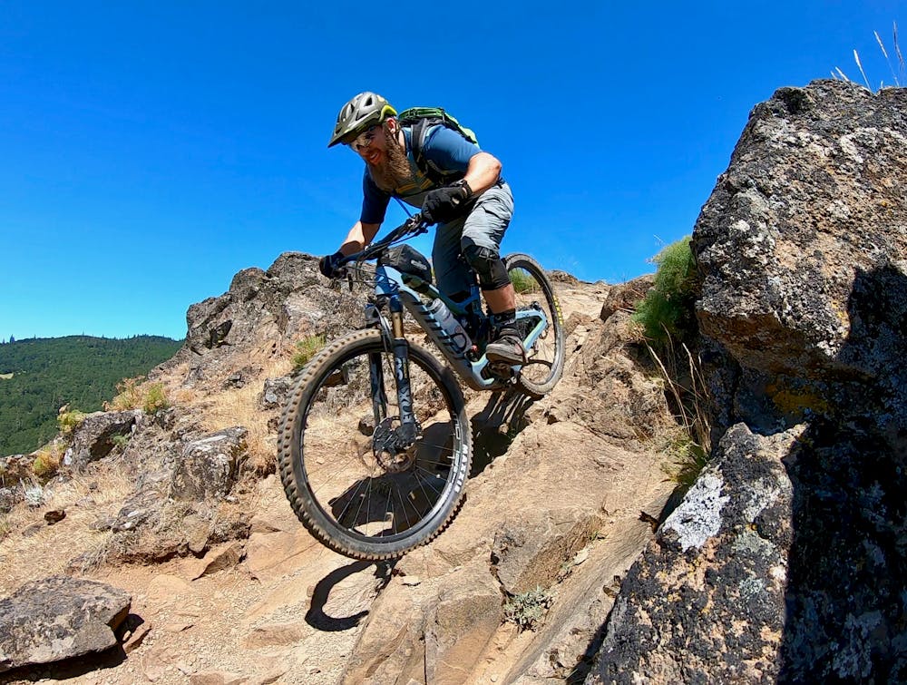
The trail tread itself bears a resemblance to Porcupine Rim. The meat of the trail features a cascading series of ledge drops, rock gardens, and rock rolls. Without a single defined trail line through the mess, you’ll have to constantly be scanning ahead, looking for exactly which line you’d like to take through the sea of rocks. A few obvious lines appear from the rubble, leading you ever downhill.
Even if you’re on a developed line, be sure to ride heads-up. Some of the most popular lines lead to drops with mandatory 3-4 foot airs. Usually, there are ride arounds if you look for them, but some of the roll options are almost just as intimidating.
Similar to Porcupine Rim, Little Moab is also over all too soon… but with a short (but steep) pedal back to the top, you can always opt for another lap!
Severe
Widely variable, narrow trail tread with steeper grades and unavoidable obstacles of 15in/38cm tall or less. Obstacles may include unavoidable bridges 24in/61cm wide or less, large rocks, gravel, difficult root sections, and more. Ideal for advanced-level riders.
0 m away

One of the longest and most rewarding rides in the Syncline trail network.
Difficult Mountain Biking
4 routes · Mountain Biking · Hiking
7 routes · Mountain Biking