1 m away
Umatilla Rim Out-and-Back
An ideal out-and-back ride on the Umatilla Rim
Moderate Mountain Biking
- Distance
- 30 km
- Ascent
- 696 m
- Descent
- 696 m
Loop of the Umatilla Rim Trail with nearby dirt roads.
Mountain Biking Moderate

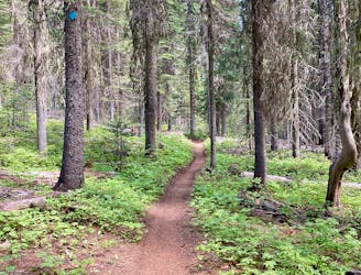
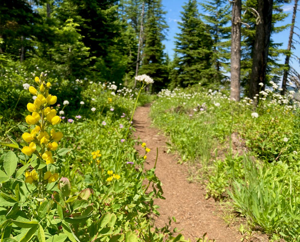
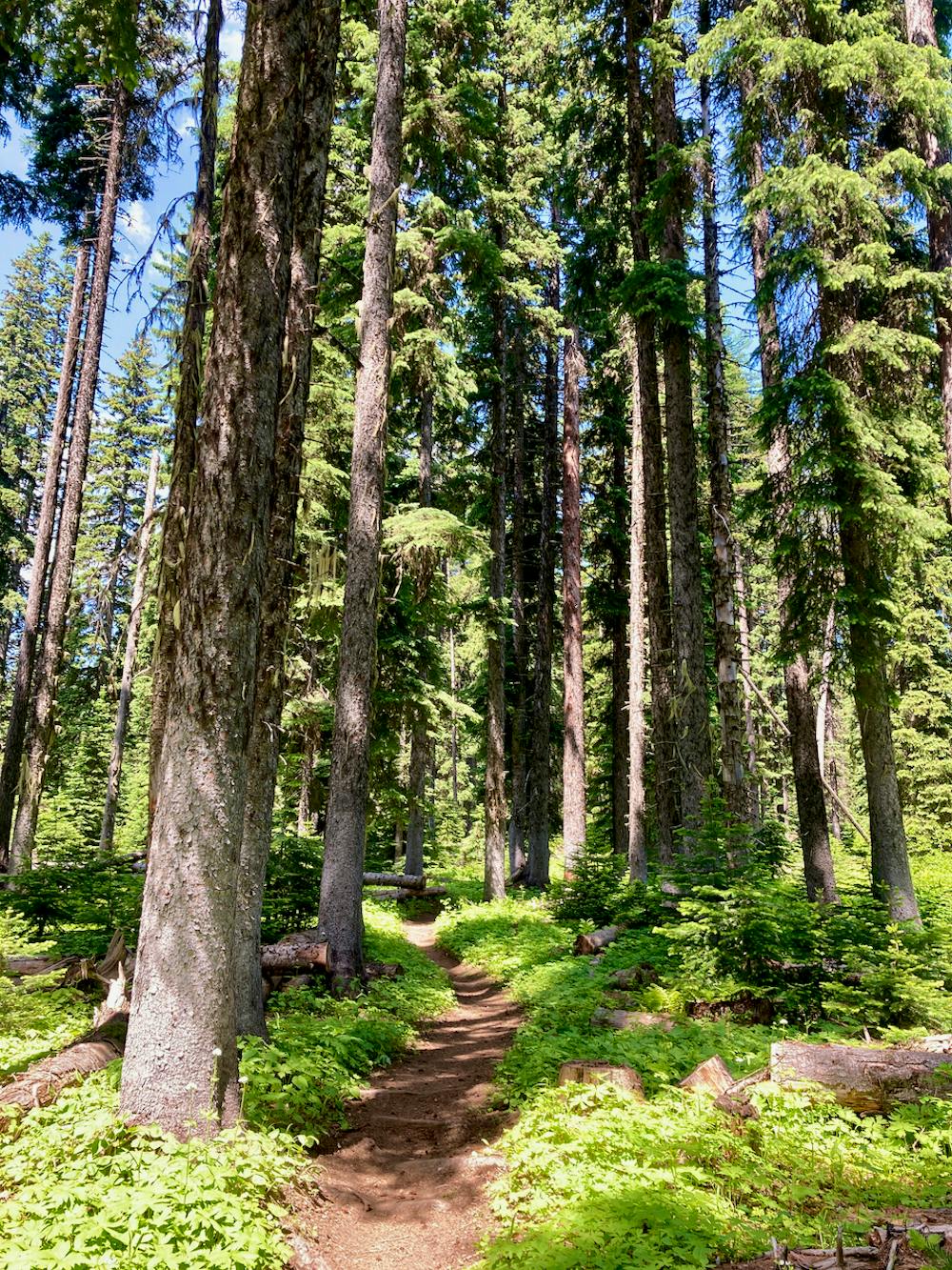
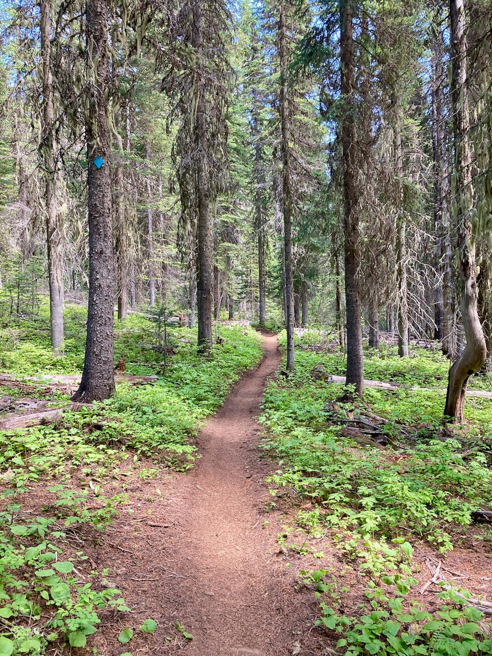
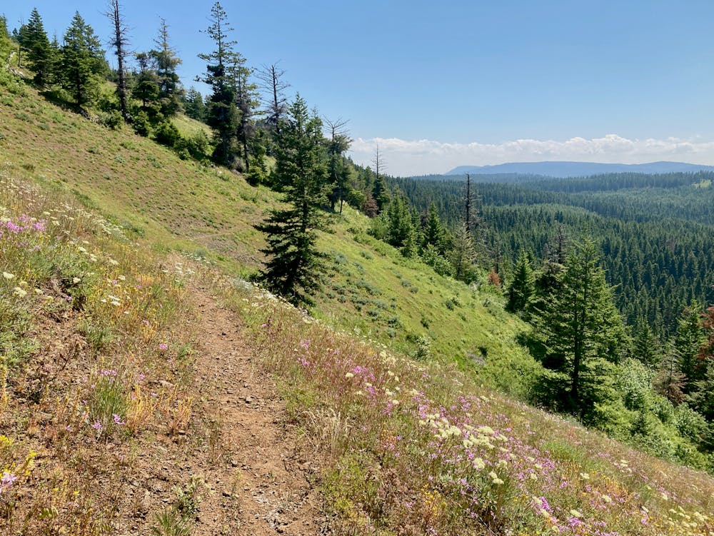
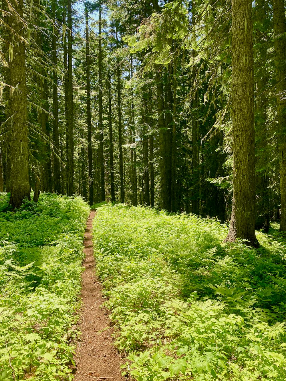
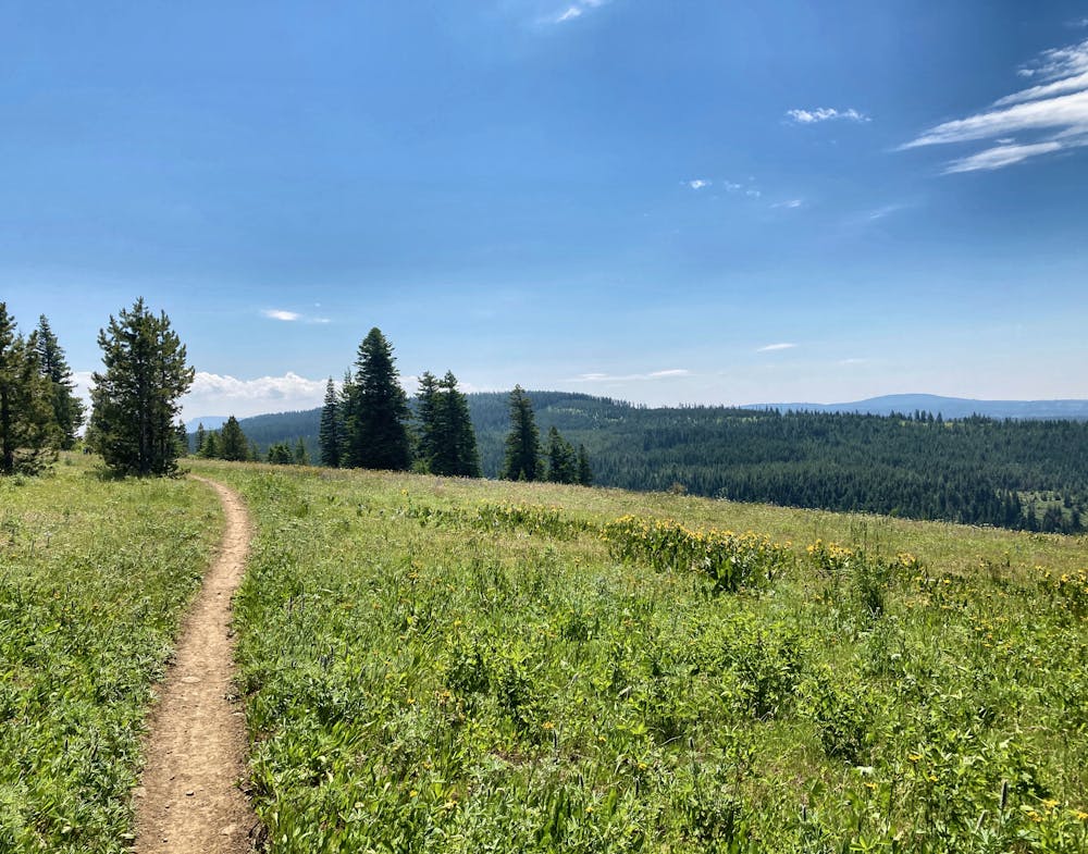
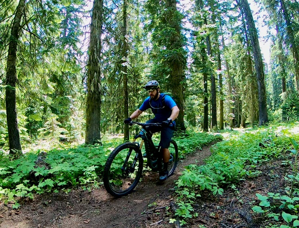
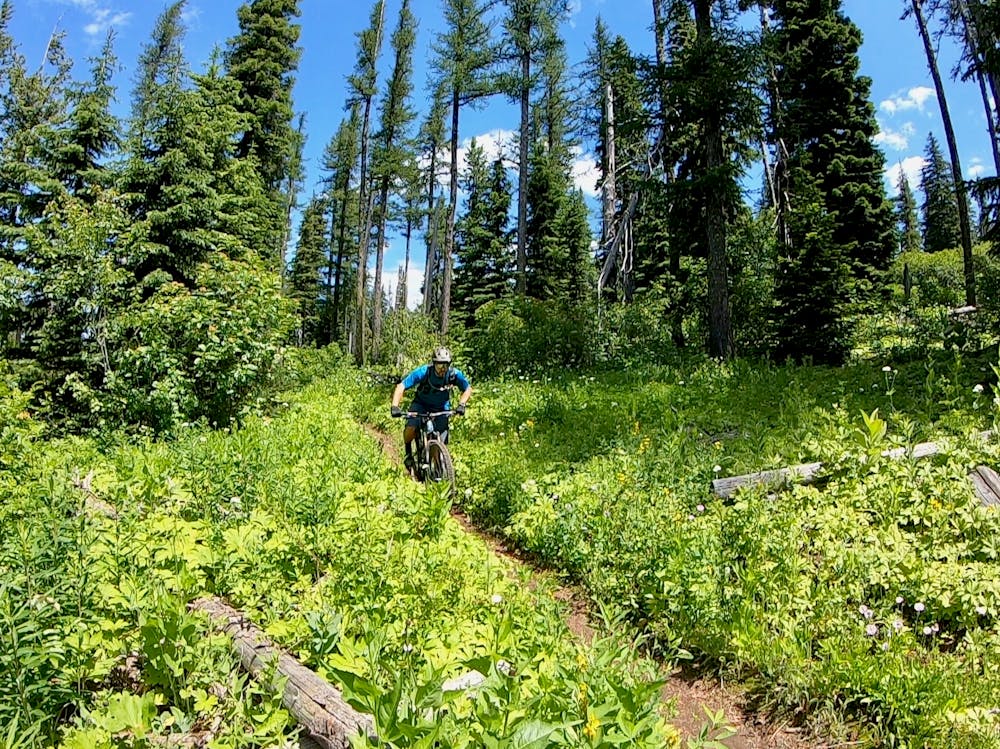
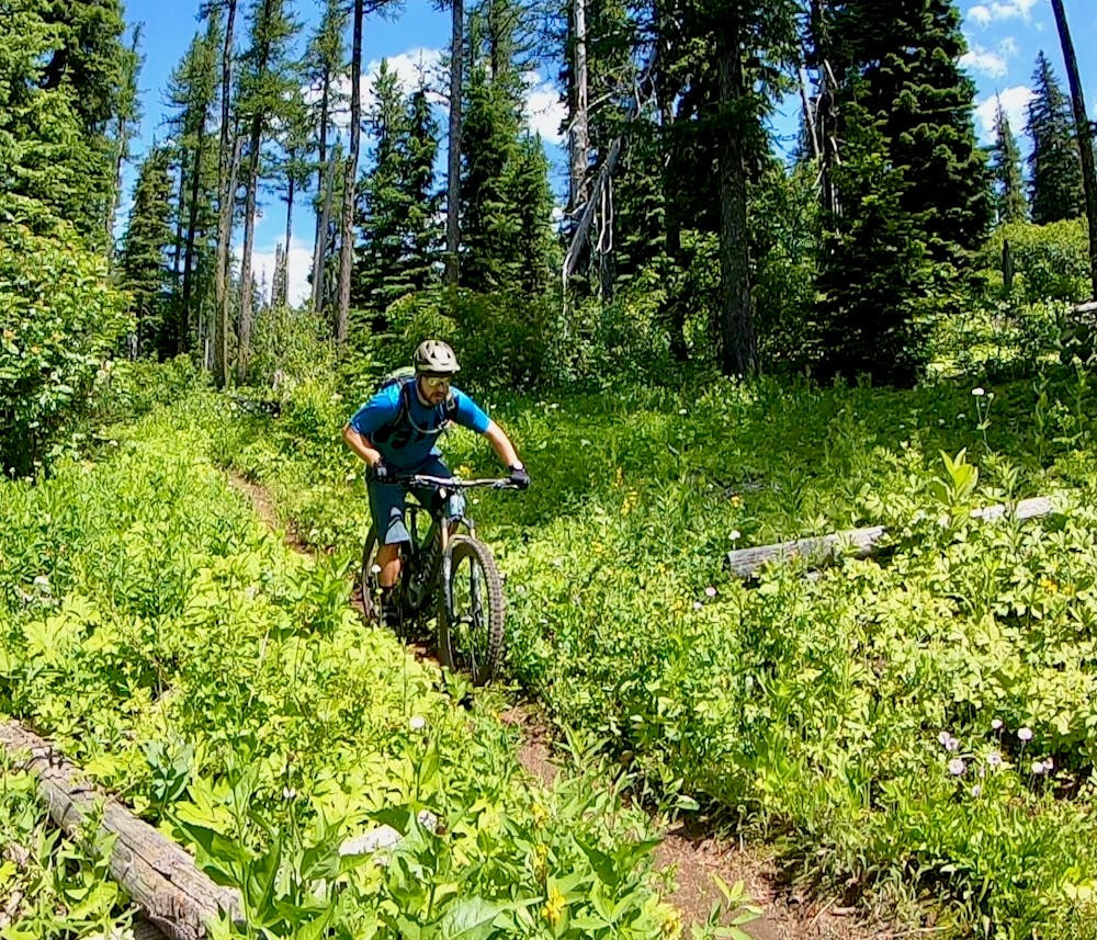
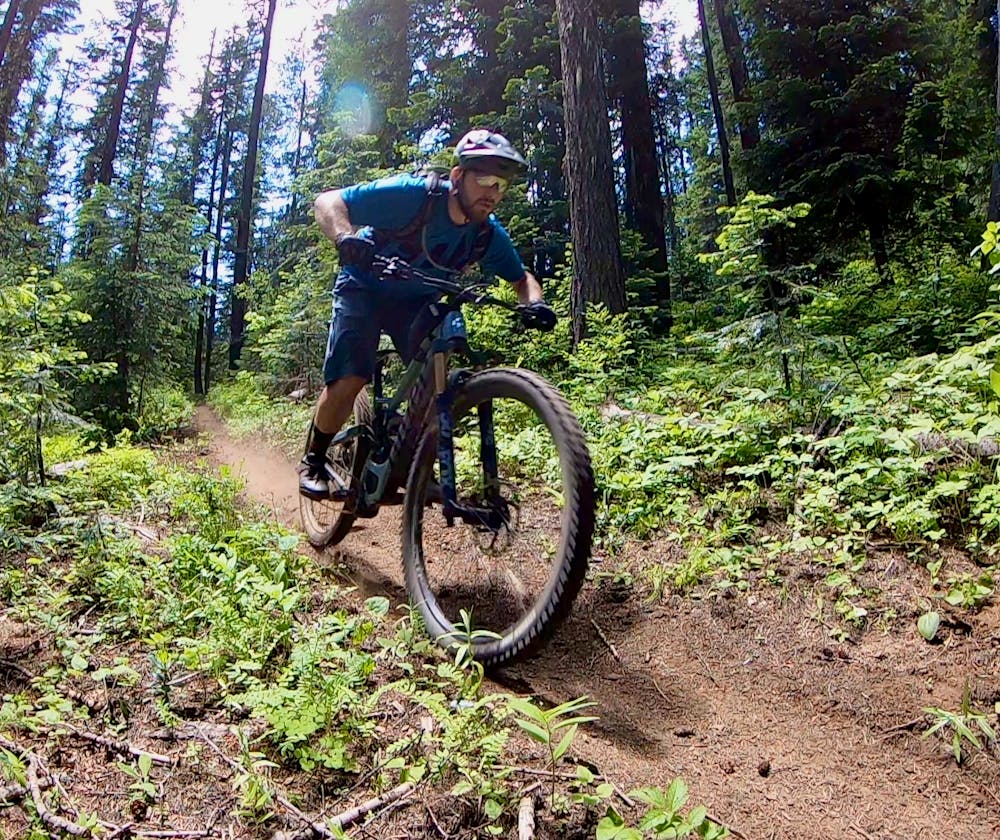
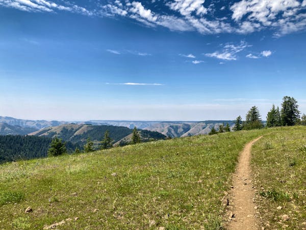
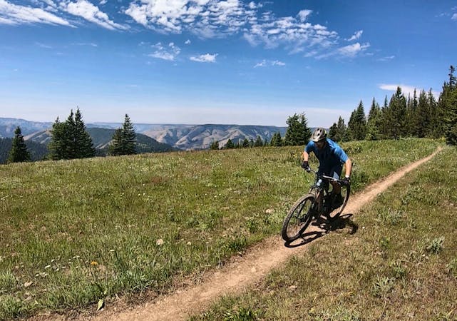
Serpentine strips of dark, black dirt run through the deep woods of the Umatilla National Forest, breaking out into wildflower-filled mountain top meadows that afford stunning views of the deep gorge formed by the Umatilla River. With singletrack this sublime and views this stunning, the Umatilla Rim Trail is an instant classic!
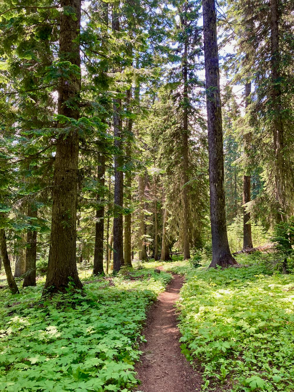
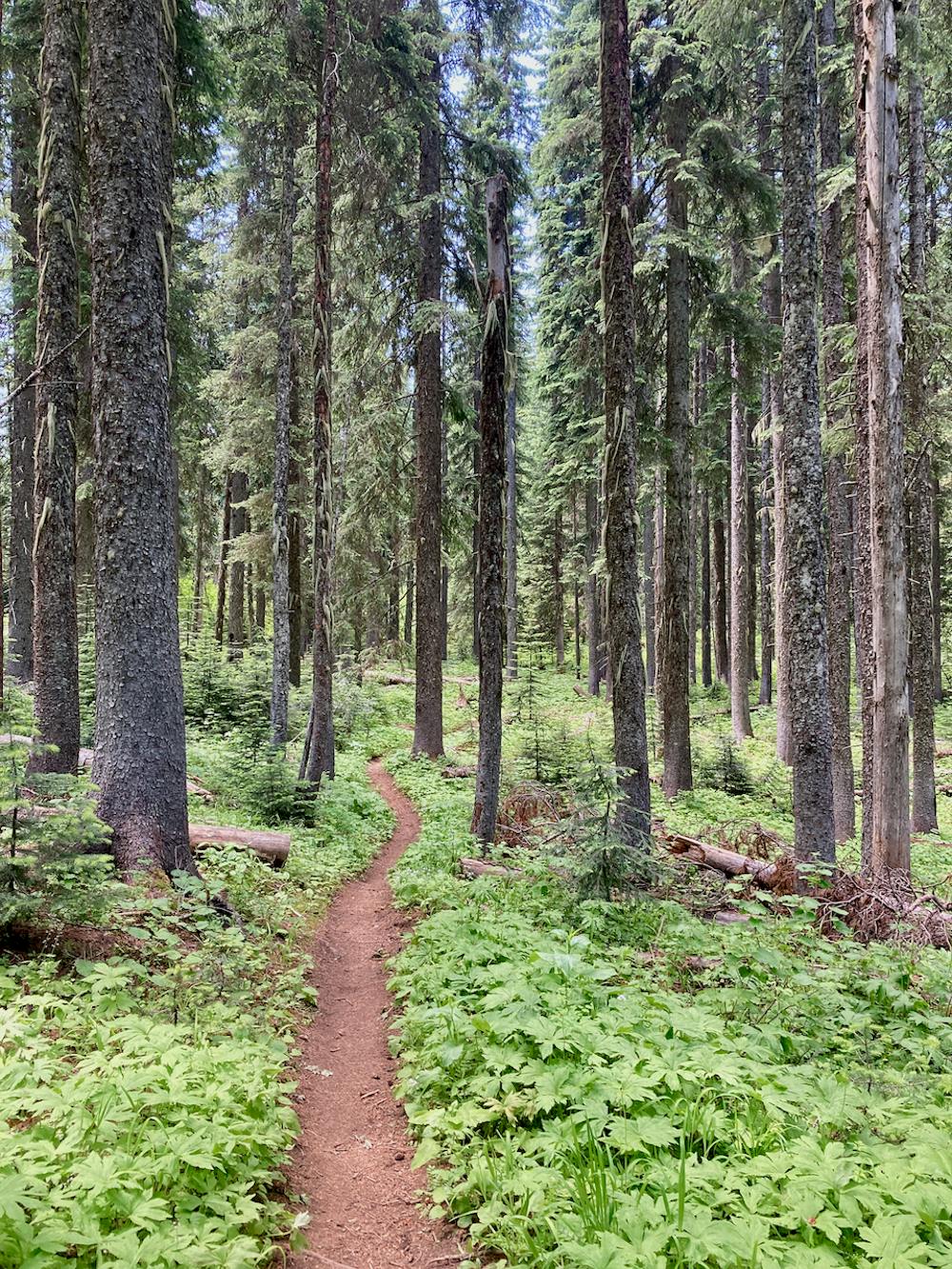
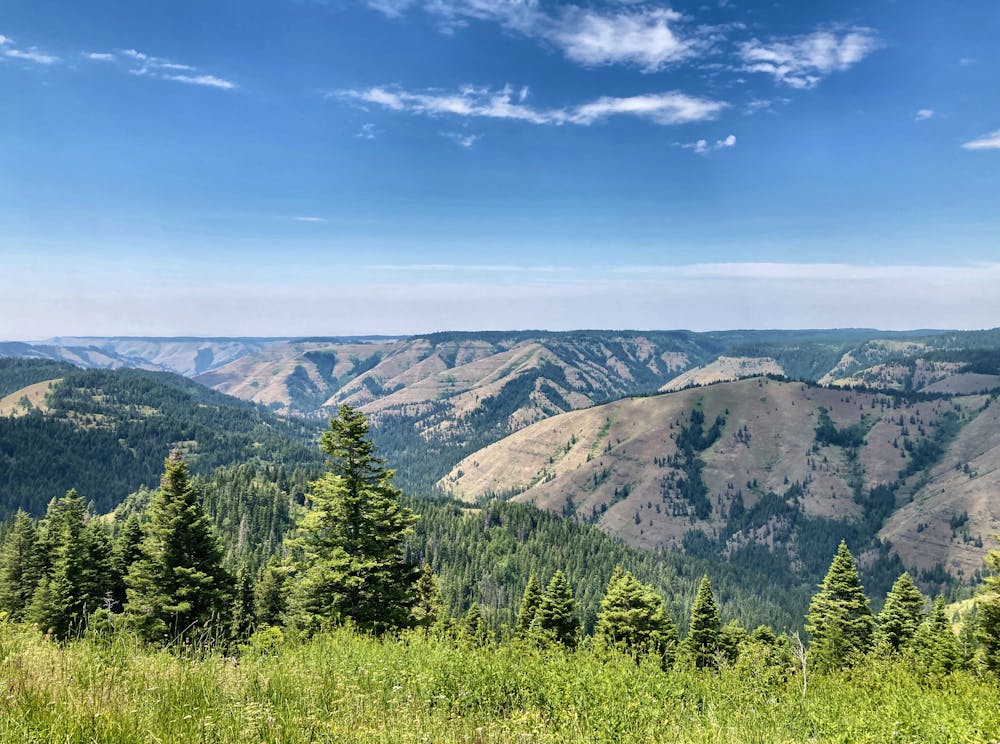

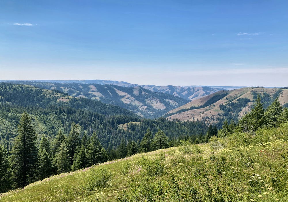

If it was located in another part of the nation or even in a different part of Oregon, undoubtedly Umatilla Rim would be an ultra-popular cross country ride with nationwide acclaim. But since it’s hidden in an obscure corner of the state of Oregon, far from any population centers or even any top-tier mountain bike destinations, the Umatilla Rim flies delightfully below the radar. In fact, some sections of the trail are downright overgrown!
Be forewarned: if you’re looking for a gnarly enduro ride with ripping descents, this isn’t the trail for you. Instead, the Umatilla Rim is surprisingly smooth and buff, with almost no technical challenges to speak of. This ride is all about stunning views and mellow flow. In fact, if you choose the correct route combination, there aren’t even any substantial climbs or descents (although you’ll still gain and descend a couple thousand feet one way or another).
The loop route mapped here could also be used as a point-to-point ride by substituting the lengthy road segment with a two-car shuttle. Choosing to ride the trail in this fashion gives you access to the entire Umatilla Rim Trail, including one major descent and a couple of rare views that few people ever see. However, note that if you pass the Ninemile Trailhead to complete this loop, the trail gets much narrower and very overgrown in places. At the time of this writing, the rest of the trail beyond Ninemile is still passable, but it gets dramatically more adventurous for the final few miles!
To remove these challenges, opt instead for the out-and-back version of this beautiful mountain bike ride. Or, tackle all the challenges that the Umatilla Rim has to offer—the choice is yours!
Moderate
Mostly stable trail tread with some variability, with unavoidable obstacles 8in/20cm tall or less. Other obstacles such as rock gullies and steep sections may exist. Ideal for lower intermediate riders.

The trail contains some obstacles such as outcroppings and rock which could cause injury.

Little chance of being seen or helped in case of an accident.
1 m away
An ideal out-and-back ride on the Umatilla Rim
Moderate Mountain Biking
2.9 km away
Out-and-back ride on the Eagle Ridge Trail near Tollgate.
Moderate Mountain Biking
18 routes · Mountain Biking · Gravel Biking · Hiking · Stand Up Paddle
5 routes · Mountain Biking

20 routes · Mountain Biking