7 km away
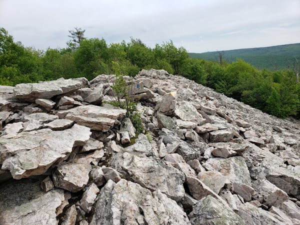
Allegheny Front Trail
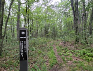
An epic multi-day hike circling Black Moshannon State Park.
Difficult Hiking
- Distance
- 63 km
- Ascent
- 1.7 km
- Descent
- 1.7 km
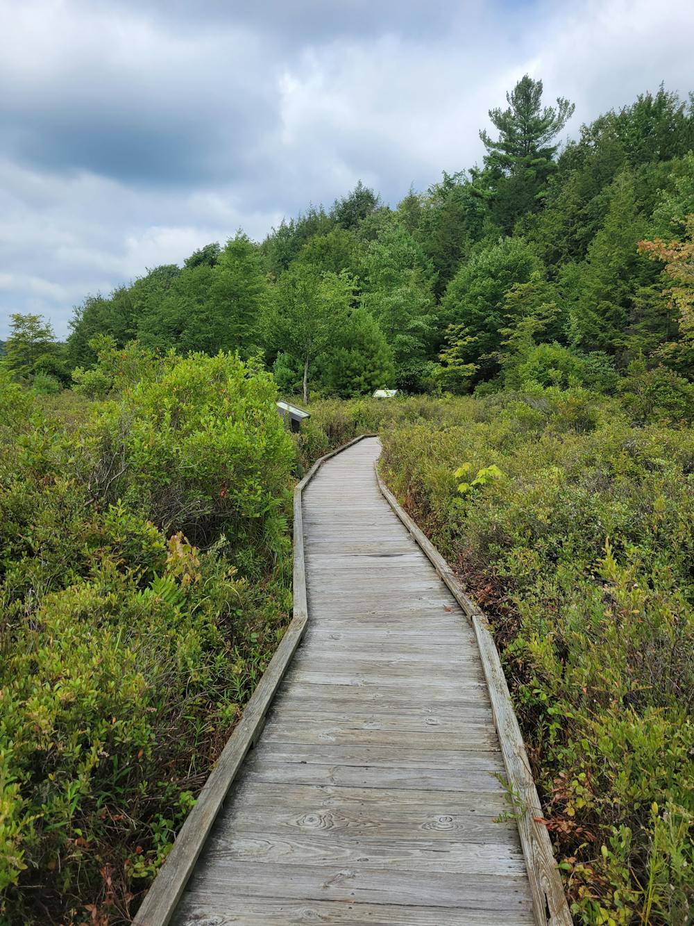
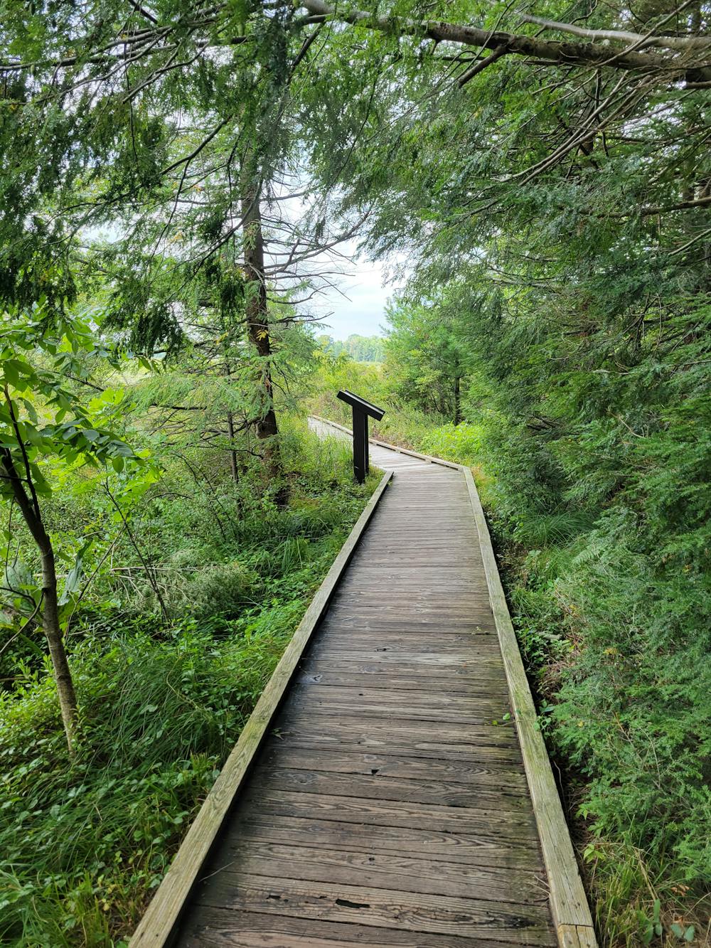
An interperative boardwalk with waysides highlighting unique wildlife and plants found around this reconstituted bog.
Hiking Easy

The Bog Trail offers a peaceful walk along a beautiful boardwalk on the edge of the Black Moshannon Lake. Considered the largest reconstituted bog in Pennsylvania, Black "Mo" is home to a unique selection of flora and fauna, including carnivorous plants, orchids, and other species you would expect to find further north. The hike is easy and flat, but offers stunning views into all three arms of the lake.
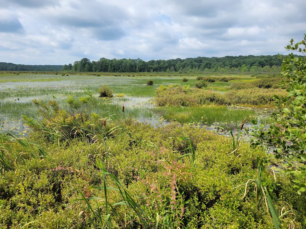
The result of logging in the late-1800s, massive hemlock and eastern white pine stumps now sit slightly submerged in the lake and are visible throughout the hike. Prior, the park notes how the lake was once a string of beaver dams and peat bogs, though much of it was flooded during the construction of the dam in 1937. Conservation efforts by the CCC ensued, and today - nearly 3,500 acres of wetlands are forever preserved within the park.
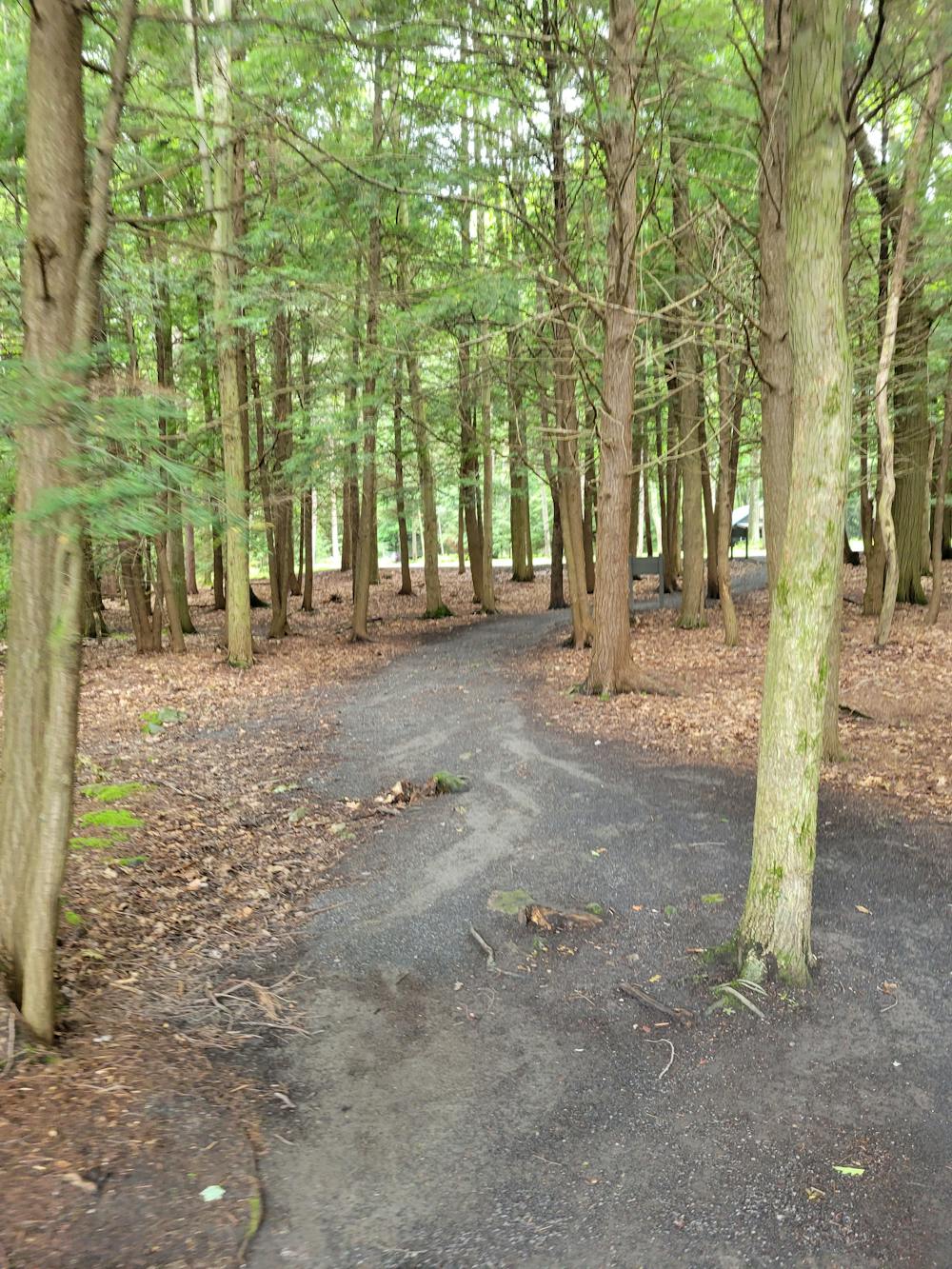
The Bog Trail begins at the southern end of Westside Road, beyond the group pavilions. A small parking lot along the lake can hold 5 - 10 cars, or you could drive to the very end of the road and park near the turnaround. A 5-minute walk on the road connects the two ends of the trail. Neither water nor restrooms are immediately available, but you can find both by the beach. Leashed and well-behaved pets can also join along for this hike.
Easy
Walking along a well-kept trail that’s mostly flat. No obstacles are present.

The path is on completely flat land and potential injury is limited to falling over.
Close to help in case of emergency.
7 km away
An epic multi-day hike circling Black Moshannon State Park.
Difficult Hiking
11 routes · Hiking