George S. Mickelson Trail
A long and wild journey through some of South Dakota's best scenery
Hiking Moderate
- Distance
- 175 km
- Ascent
- 1.4 km
- Descent
- 1.7 km
- Duration
- 1 day +
- Low Point
- 1 km
- High Point
- 1.9 km
- Gradient
- 2˚

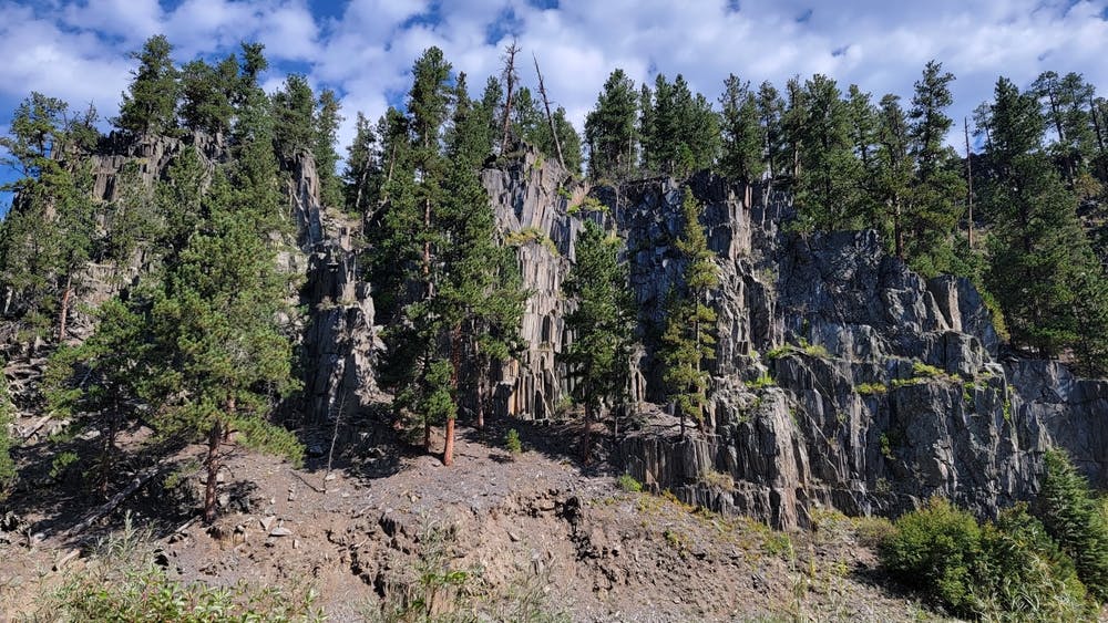
The George S. Mickelson Trail is a famous rail-trail that spans approximately 109 miles through the heart of the Black Hills. Named after former Governor George S. Mickelson, this trail follows the route of an old railroad line and offers stunning views of the surrounding landscapes, including forests, meadows, and rugged terrain. Completing it in it's entirety is a week long adventure and should be added to the bucket-list of any local hiker.
Description
The trail is well-maintained and can be accessed from countless trailheads, meaning that you can easily hike parts of it, and take one of many detours onto other nearby trails. The main trail is known for its relatively gentle grades, making it accessible to people of various fitness levels, and along the way, there are trailheads, rest areas, and camping facilities, so hiking as much or as little of the trail as you like is simple.
The George S. Mickelson Trail passes through several historic mining towns, offering glimpses into the area's rich heritage. There is also plenty of fauna which can be glimpsed, including elk, deer and multiple species of birds of prey.
Welcome to one of the best long trails in the Dakotas!
Difficulty
Moderate
Hiking along trails with some uneven terrain and small hills. Small rocks and roots may be present.
Medium Exposure

The trail contains some obstacles such as outcroppings and rock which could cause injury.
Remoteness

Little chance of being seen or helped in case of an accident.
Best time to visit
Features
- Wildlife
- Historical
- Picturesque
- Family friendly