
58 routes · Hiking
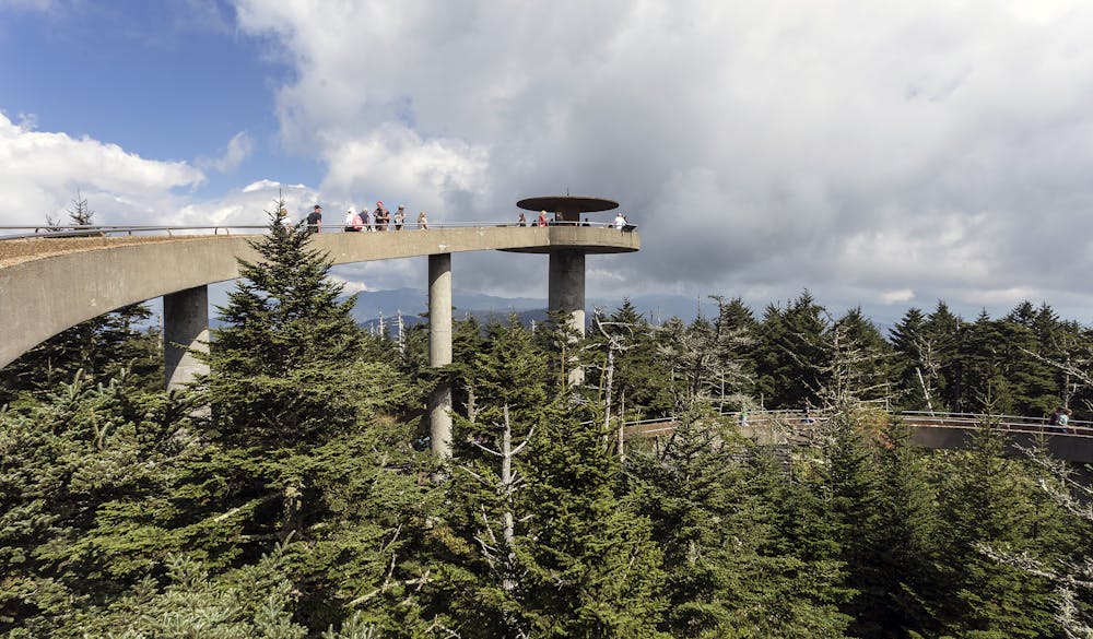
The approach to Clingmans Dome, the highest point in the Great Smoky Mountains National Park.
Also in North Carolina, United States of America
Hiking Difficult

This route begins at Fontana Dam and takes you through the heart of the Great Smoky Mountains National Park.
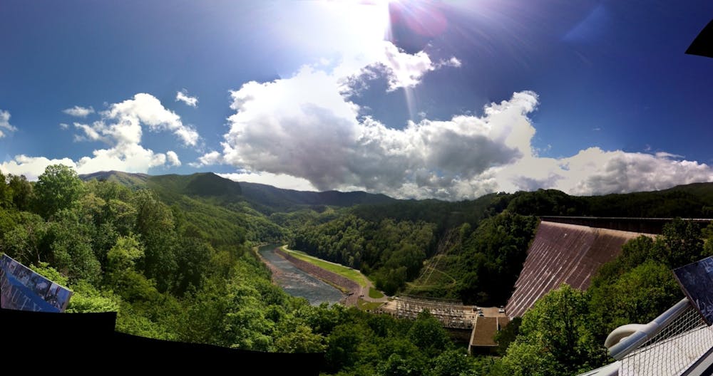

According to Wikipedia, "Fontana is the tallest dam in the Eastern United States, and at the time of its construction, it was the fourth tallest dam in the world."
Beginning on the east side of the dam, cross over it and onto a short piece of road. Following the white blazes, you will eventually merge onto singletrack and begin climbing.
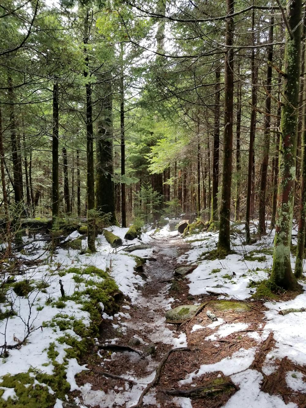
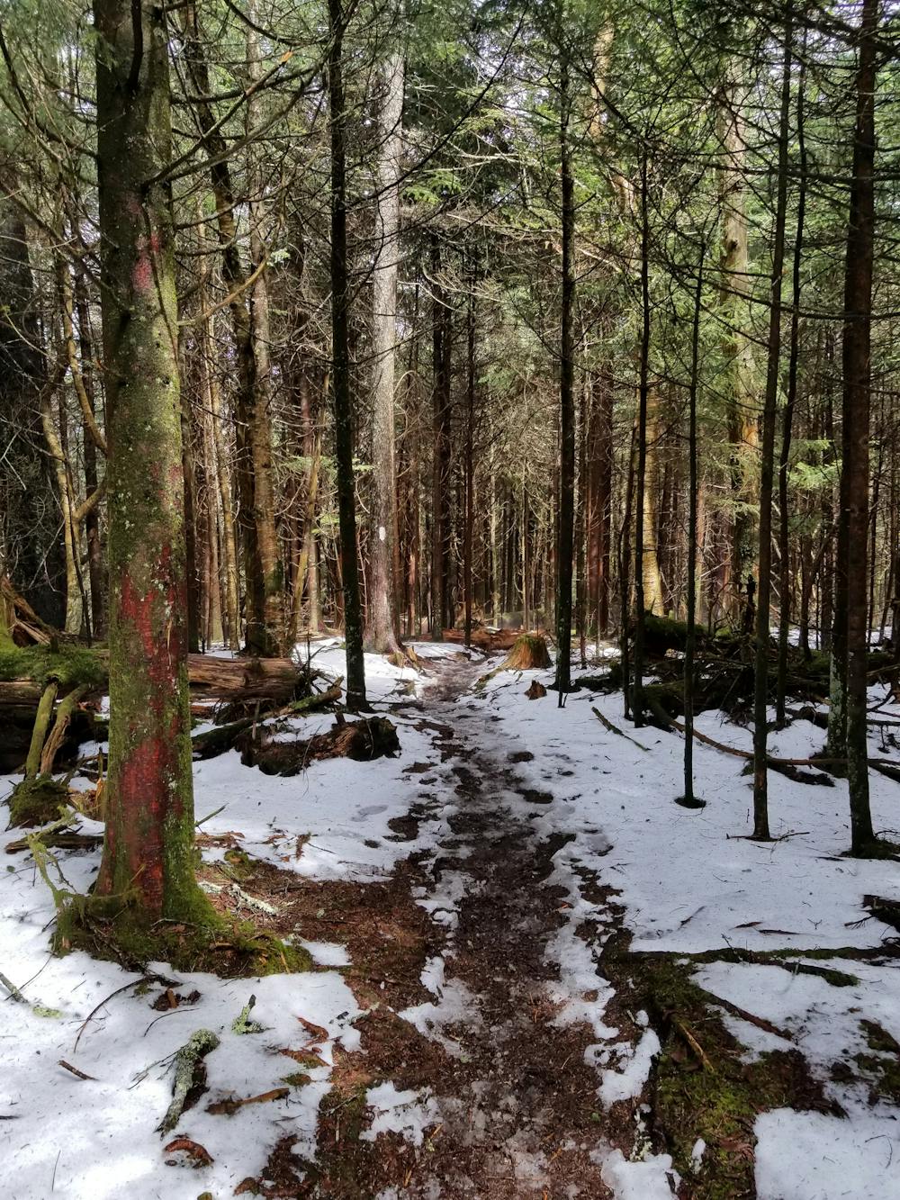
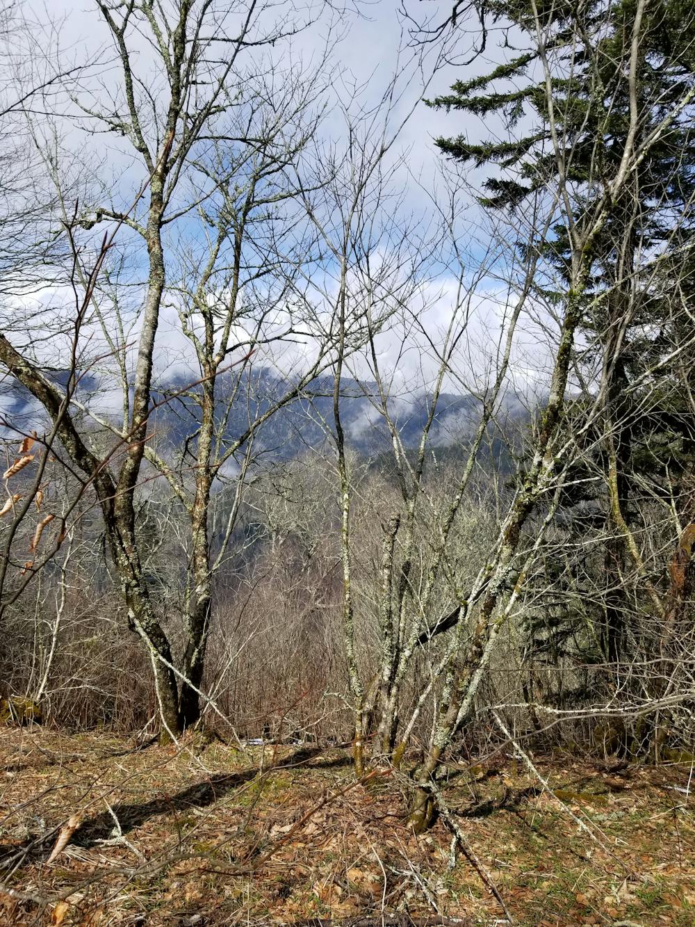
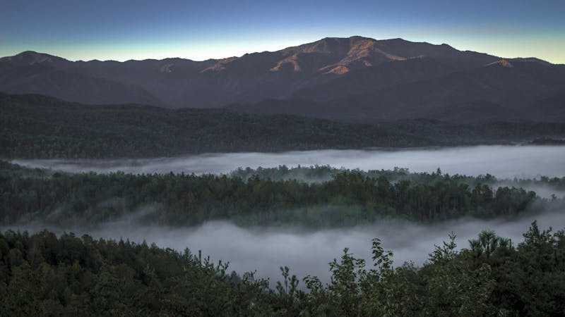
The majority of this segment is very arduous, yet rewarding as the AT ascends to countless knobs, mountains, and other picturesque formations.
The closer one gets to Clingmans Dome, the more trail intersections you will encounter. While some of them can create shorter day hike options, many of them lead deeper into a portion of the park. This particular stretch is where many hikers get disoriented and/or lost.
Many shelters along this stretch allow for the route to be divided into multiple days.
Upon reaching Clingmans Dome, it is less than 8 miles to Newfound Gap Road. For a shorter day hike option, park there or at one of the parking areas on the Clingmans Dome Access Road for an out and back option.
For the lesser adventurous, Clingmans Dome Road is seasonally accessible by car.
Sources: https://en.wikipedia.org/wiki/FontanaDam https://www.nps.gov/grsm/planyourvisit/clingmansdome.htm
Difficult
Hiking trails where obstacles such as rocks or roots are prevalent. Some obstacles can require care to step over or around. At times, the trail can be worn and eroded. The grade of the trail is generally quite steep, and can often lead to strenuous hiking.

The trail contains some obstacles such as outcroppings and rock which could cause injury.

Little chance of being seen or helped in case of an accident.
58 routes · Hiking
10 routes · Hiking

63 routes · Alpine Climbing · Hiking