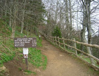
Appalachian Trail: Sam's Gap to Nolichucky River
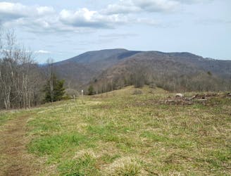
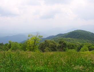
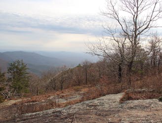
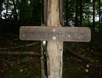
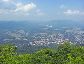
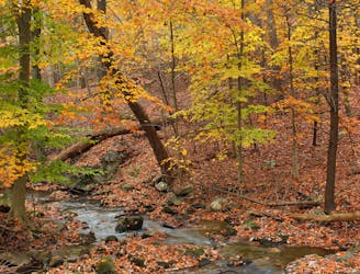
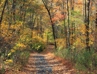
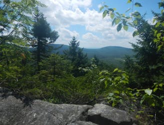
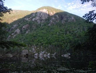
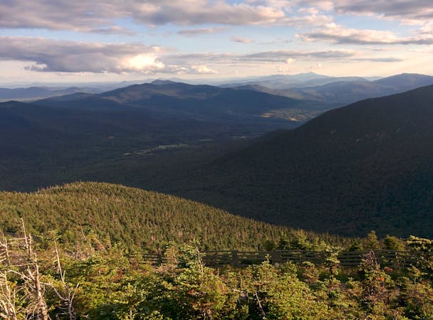
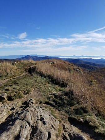
A shorter AT segment best known for its summit of Big Bald.
Difficult Hiking
- Distance
- 38 km
- Ascent
- 1.8 km
- Descent
- 2.4 km
The renowned Appalachian Trail stretches for 2,200 miles along an entire mountain range, across 14 states in the Eastern USA.
Hiking Moderate, Difficult, Severe, Extreme
Also in Connecticut, United States of America • Georgia, United States of America • Maine, United States of America • Maryland, United States of America • Massachusetts, United States of America • New Hampshire, United States of America • New Jersey, United States of America • New York, United States of America • North Carolina, United States of America • Tennessee, United States of America • Vermont, United States of America • Virginia, United States of America • West Virginia, United States of America
The Appalachian Trail (often referred to as simply the "AT") is one of the most famous long-distance hiking trails in the world, and certainly the most well known in the United States. This impressive footpath begins in the Southeast, in the state of Georgia, and finishes in the Northeast in Maine, following the spine of the Appalachian mountain range. Though anyone can hike sections of the AT at will, the ultimate achievement is to thru-hike the 2,200 miles from end to end in one journey.
Such a feat requires 5-7 months on the trail, not to mention prior months of planning that must be done. For the hundreds of people who complete the thru-hike every year, however, the payoff is well worth the work.
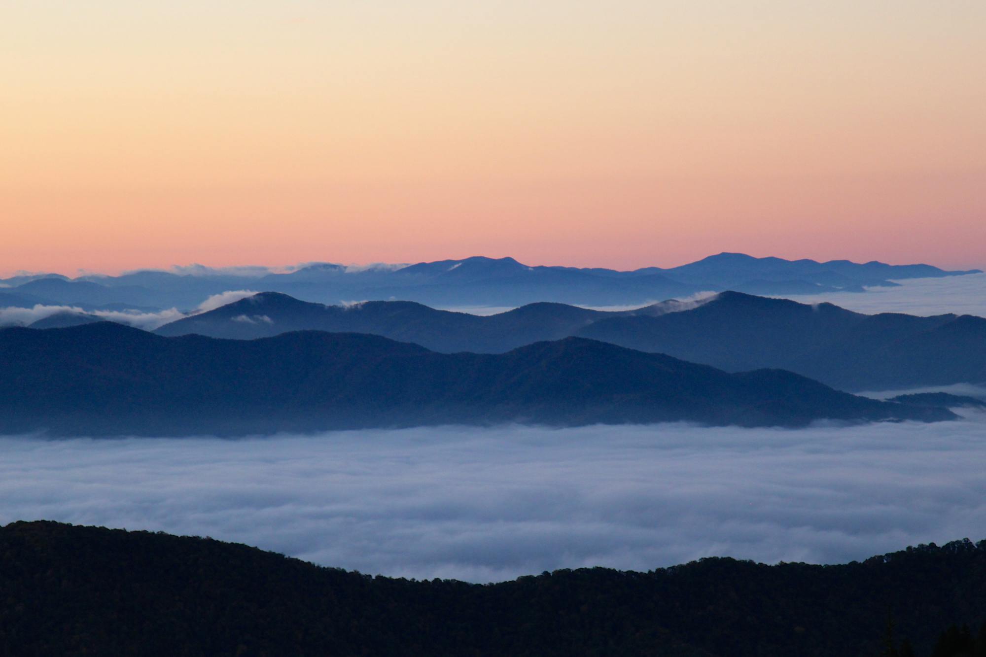
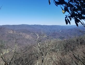
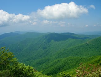
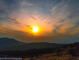
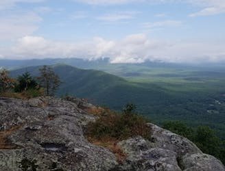
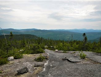
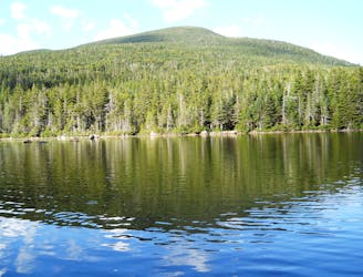
Hikers of the entire AT get to experience all of the best mountain scenery that the eastern U.S. has to offer. The trail summits many of the tallest mountains in the eastern part of the continent, including 6,643-foot Clingmans Dome on the Tennessee-North Carolina border and the wind-whipped summit of Mount Washington in New Hampshire at 6,288 feet.
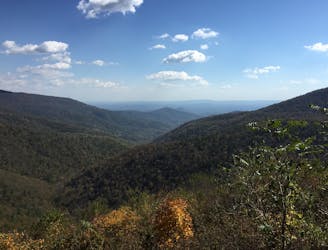
Though not as tall nor as steep as the mountains of the American West, the slopes and summits of the Appalachians are uniquely varied, with everything from dense temperate forest to barren alpine tundra. The hiking is notoriously difficult in some stretches, with endless roots and rocks to contend with, and anywhere along the trail can be subject to mud and miserable weather. In the eastern U.S., it can rain for days on end at any time of year.
Consequently, a thru-hike of the AT is a truly monumental accomplishment. The majority of people who backpack on this trail do not hike the entirety of the AT in one go, but instead choose one of its many distinct sections to do as day hikes or multi-day trips. Some people make it a goal to “section hike” the entire AT, covering all its miles over the course of multiple trips.
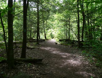
Backpackers on the Appalachian Trail carry all their own gear and camp backcountry style. There are shelters positioned incrementally along the trail, but space within the shelters is first come, first served only. While it is possible to hike the entire AT and save weight by staying only in shelters, such a strategy is risky because you may not be able to get to a shelter by nightfall or during bad weather, and even when you arrive it may be full. Most hikers carry enough gear to be fully self-sufficient.
No specific permit or registration is required to hike the AT or to camp along it, with the exception of camping permits required in the Great Smoky Mountains National Park and Shenandoah National Park. Camping and campfire regulations may vary by location and season along the trail as well. Planning for such particulars is part of the complicated logistics for a long hike on the AT. Other considerations include what to pack, what time of year to go, resupply points, and transportation to and from the trail.
The majority of thru-hikers on the Appalachian Trail begin at Springer Mountain in Georgia (the southern terminus) in March or April and finish at Mount Katahdin in Maine (the northern terminus) in August or September. This schedule maximizes warm weather. Some start in the north, however. Others elect to start somewhere in the middle, finish at one end, then travel back to hike the other half. This strategy allows for easier terrain, and frequent resupplies early in the trip, and thinner crowds along the trail.
For a full Appalachian Trail map complete with detailed section maps, dive deep into this guidebook!
Sources: http://www.appalachiantrail.org/home/explore-the-trail/thru-hiking http://www.appalachiantrail.org/home/explore-the-trail/explore-by-state https://en.wikipedia.org/wiki/AppalachianTrail
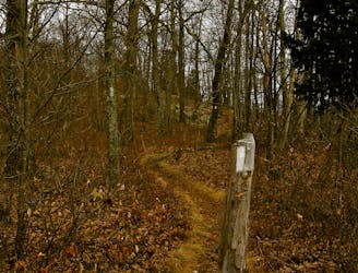
A shorter AT segment best known for its summit of Big Bald.
Difficult Hiking
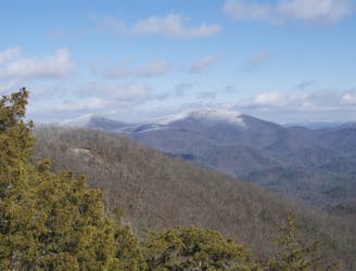
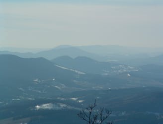
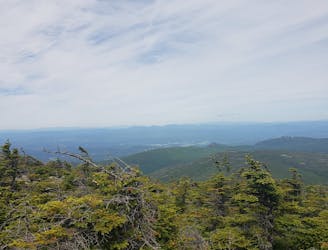
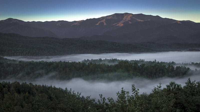
The approach to Clingmans Dome, the highest point in the Great Smoky Mountains National Park.
Difficult Hiking
A remote stretch connecting two iconic landmarks via the summit of Cheoah Bald.
Difficult Hiking
The second half of the Great Smoky Mountains National Park.
Difficult Hiking
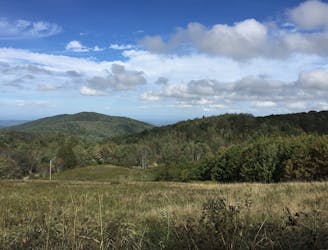
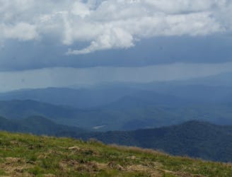
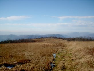
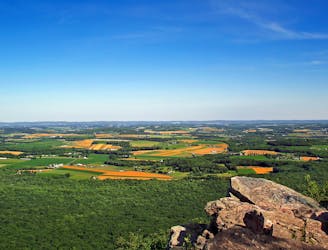
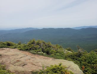
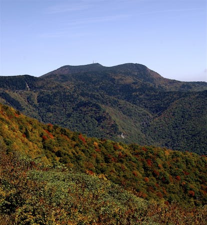
The trek to Max Patch Mountain, a bald, grassy summit with 360° views of the Blue Ridge Mountains.
Moderate Hiking
An AT segment with a ridgeline traverse, bald summits, and extensive history.
Difficult Hiking
The southern terminus for the world-renowned Appalachian Trail.
Difficult Hiking
An AT segment through remote North Georgia Wilderness.
Difficult Hiking
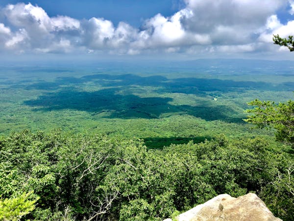
The Appalachian Trail crosses into North Carolina and summits the first peaks over 5,000 feet.
Difficult Hiking

A beautiful trek across Wayah and Wesser Balds.
Difficult Hiking
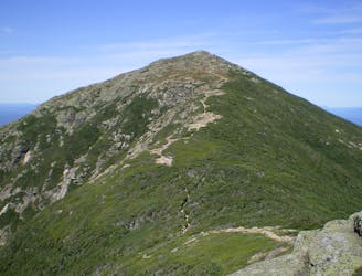
The trek across the Unaka Mountains and Roan Highlands, where fields of rhododendron and bald summits await.
Moderate Hiking
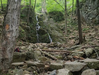
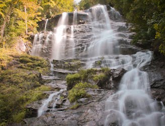
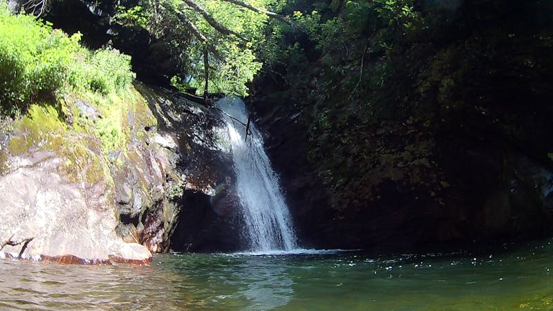
A picturesque AT segment highlighting a series of waterfalls.
Difficult Hiking
A ridgeline traverse into the iconic trail town of Damascus.
Moderate Hiking
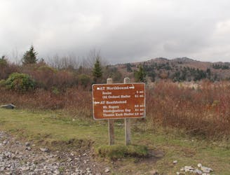
The trek from the iconic trail town of Damascus to Mount Rogers and the Grayson Highlands
Difficult Hiking
A relaxing stretch crossing The Scales and ending at Interstate 81
Moderate Hiking
Crossing the one-quarter mark of the roughly 2,200-mile-long AT.
Moderate Hiking
A trek across endless Brushy Mountains, past Dismall Falls, and ending at New River.
Difficult Hiking
A series of long ridgeline traverses, ending with a summit of the picturesque Kelly Knob.
Difficult Hiking
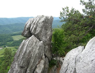
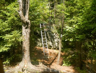
The trek to the iconic Dragon's Tooth formation.
Difficult Hiking
The iconic AT segment home to McAfee Knob and Tinker Cliffs.
Difficult Hiking
A strenuous and remote section of the AT through backcountry and Wilderness areas.
Difficult Hiking
An epic route across the Blue Ridge connecting low river valleys to high peaks.
Difficult Hiking
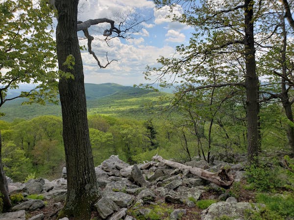
A shorter segment lined with excellent day hiking and overnight opportunities.
Difficult Hiking
The southern portion of Shenandoah National Park, full of day hiking and overnight opportunities.
Difficult Hiking
The central district of Shenandoah National Park, known for the picturesque Hawksbill Overlook.
Difficult Hiking
This section of the Appalachian Trail crosses over Hogback Mountain, the Marshalls, and then heads through Trumbo Hollow.
Difficult Hiking
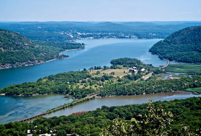
The AT passes through the lowlands, ending at Harpers Ferry
Difficult Hiking
Hike 41 miles through Maryland on the Appalachian Trail.
Moderate Hiking
The beginning of Rocksylvania passing through Michaux State Forest.
Difficult Hiking

The halfway point for the Appalachian Trail.
Difficult Hiking
Two long ridgeline traverses through remote backcountry.
Moderate Hiking
An excellent section hike or trail run lined with overlooks and overnight camping opportunities.
Difficult Hiking
A Pennsylvania segment of the AT lined with beautiful overlooks.
Difficult Hiking
A popular segment for day hiking with killer views all the way to Delaware Water Gap.
Difficult Hiking
Traversing the Kittatinny Ridge to High Point State Park.
Difficult Hiking
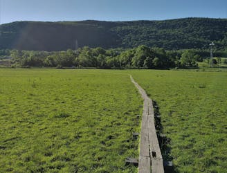
Winding through farmlands, across the Boardwalk, and into Wawayanda State Park.
Difficult Hiking
A winding and scenic stretch past countless ponds and climbs over several prominent mountains.
Severe Hiking
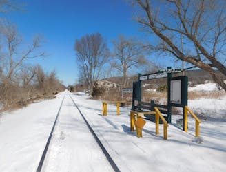
This section passes Anthony's Nose, Canopus Lake, Nuclear Lake, and Cat Rocks ending at the Appalachian Trail Station .
Difficult Hiking
A long stretch paralleling the Housatonic River and rich with history.
Moderate Hiking
The first half of Massachusetts, widely renowned for Mount Everett and Guilder Pond.
Difficult Hiking
The AT traverses the largest state forest to the highest summit in Massachusetts.
Difficult Hiking
The AT transitions from the Berkshires of Massachusetts to the Green Mountains of Vermont.
Difficult Hiking
A remote Vermont stretch of the AT known for its summit of Stratton Mountain and Peru Peak.
Difficult Hiking
An amazing segment through the high country of Vermont, summiting Killington Peak.
Difficult Hiking
A easily shuttled stretch of the AT, connecting Killington Mountain to the Connecticut River.
Difficult Hiking
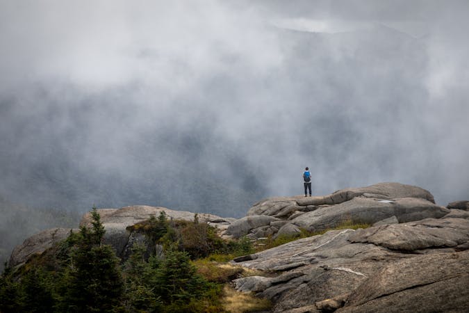
The introduction to the White Mountains, summiting Smart's Mountain and Mount Cube.
Severe Hiking
Summiting Mount Moosilauke and Mount Kinsman via the Appalachian Trail
Severe Hiking
A perfect segment to shuttle, bagging several 4,000-footers along the way.
Severe Hiking
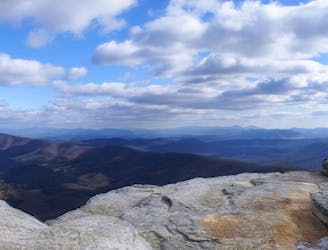
Summit the highest peak in the northeast, Mount Washington.
Severe Hiking
A beautiful segment of the AT, summiting the final 4,000-footers in New Hampshire before heading into Maine.
Severe Hiking
A stretch of the AT through Maine known for its summit of Baldpate and Bemis Mountains.
Difficult Hiking
A beautiful AT segment known for its traverse over Saddleback Mountain.
Difficult Hiking
The infamous 100-Mile Wilderness of the Appalachian Trail.
Severe Hiking
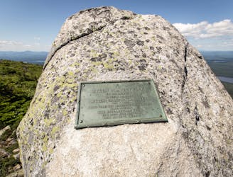
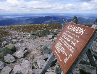
The northern terminus of the Appalachian Trail on the top of Mount Katahdin.
Severe Hiking
A long segment of the AT that's perfect for backpacking, but still providing a couple of shorter day hikes along the way.
Difficult Hiking
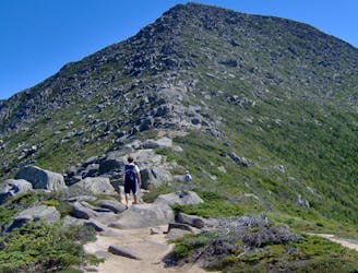
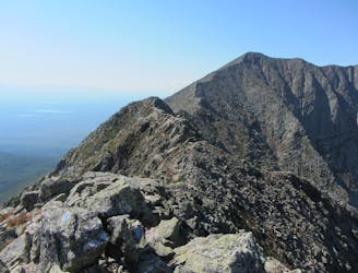
The shortest, most direct route to Mount Katahdin.
Extreme Hiking
The 8-mile approach to the southern terminus of the Appalachian Trail.
Difficult Hiking
An incredibly challenging and dangerous loop reserved only for the adventurous..
Severe Hiking
8 routes · Hiking
9 routes · Hiking
10 routes · Hiking
9 routes · Hiking
10 routes · Hiking
7 routes · Hiking
3 routes · Hiking

7 routes · Hiking
16 routes · Hiking
6 routes · Hiking