
58 routes · Hiking
A winding and scenic stretch past countless ponds and climbs over several prominent mountains.
Hiking Severe

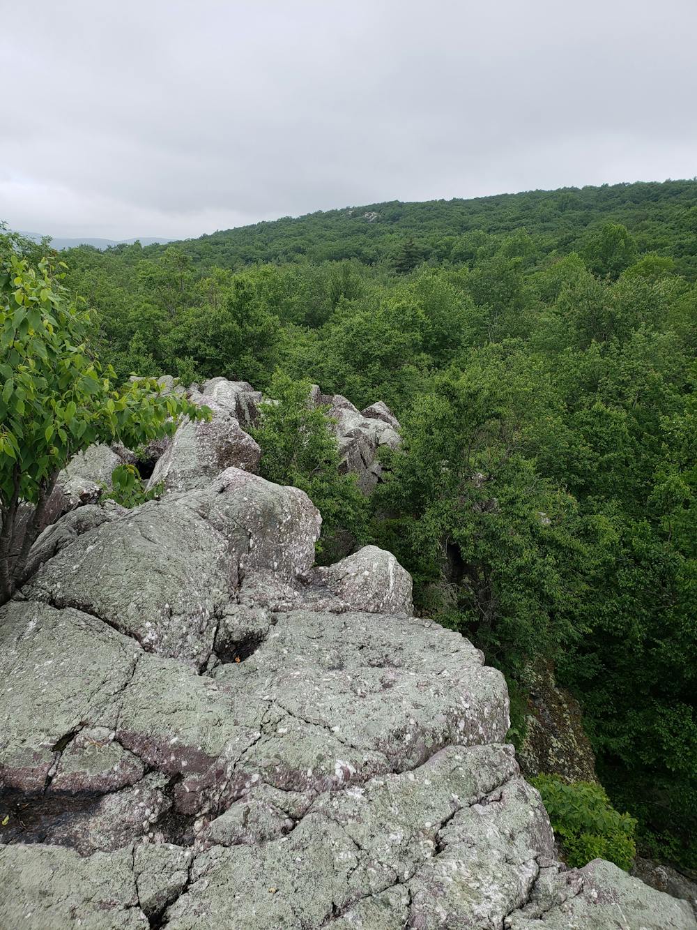
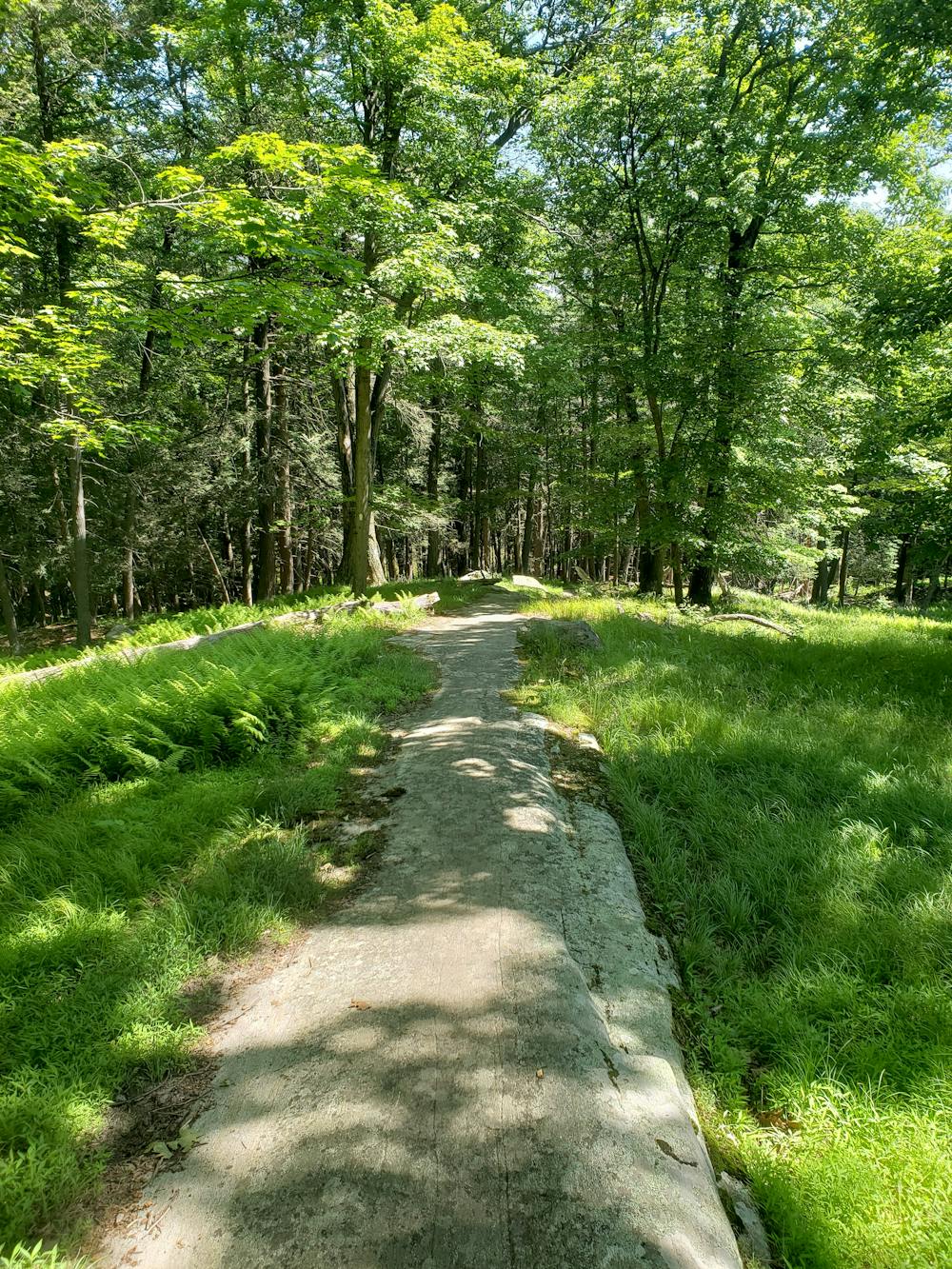
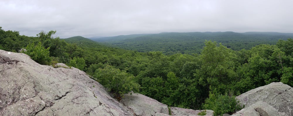
Beginning at NY-17A, the Appalachian Trail passes the adjacent Mount Peter Hawk Watch as it climbs its way to Cat Rocks, a phenomenal destination for a day hike. The trail crosses atop a craggy outcropping, providing excellent exposed views across the valley. Beyond the formation, you'll pass the Wildcat Falls Shelter, the first shelter along this stretch.
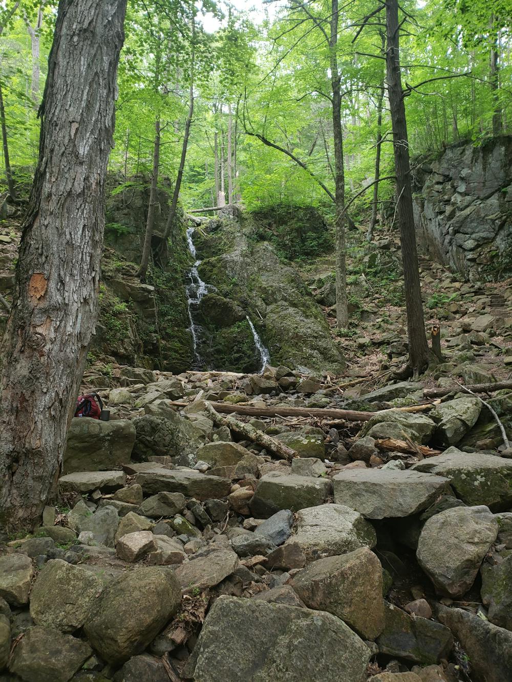
Crossing a road, you'll be welcomed by Fitzgerald Falls—a beautiful waterfall, and another excellent destination for a short hike. Ahead, you'll reach the Mombasha High Point, roughly six miles from the Mount Peter Trailhead. Though there is no commanding vista, this landmark still provides some partial views from its rocky summit.
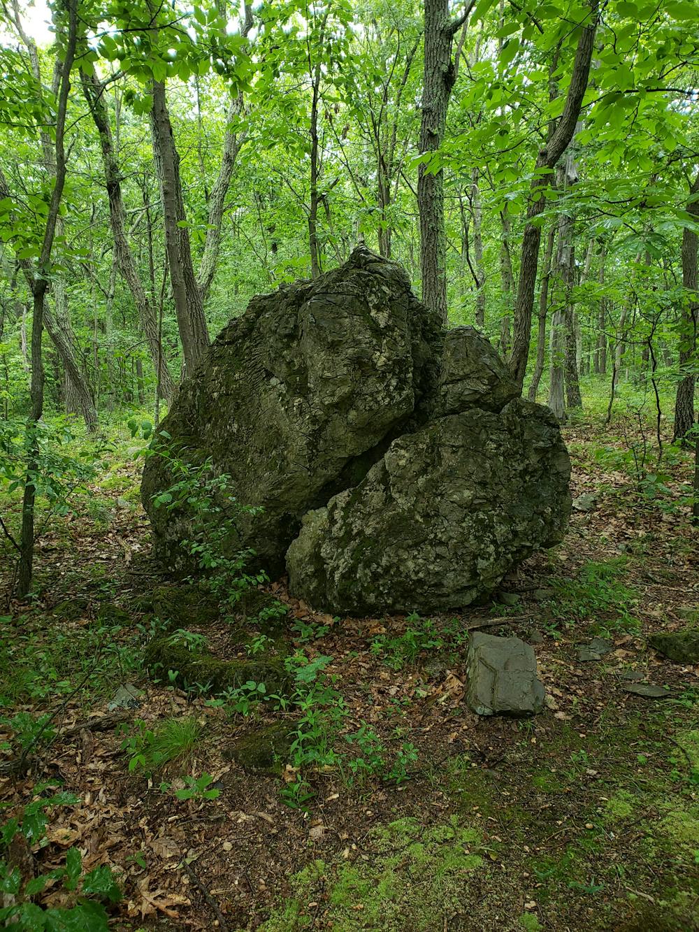
Heading in a southeastern direction, the AT skirts along Prospect Mountain, Buchanan Mountain, and past a picturesque lake before reaching a series of access points around NY-17 and I-87. Passing through a small parking lot and field on the east side of the New York State Thruway, the trail climbs over a ridge, skirts a serene pond, and reaches a rock known as the "Lemon Squeezer". Here, the trail takes a somewhat difficult path through a large angled crack in a massive boulder.
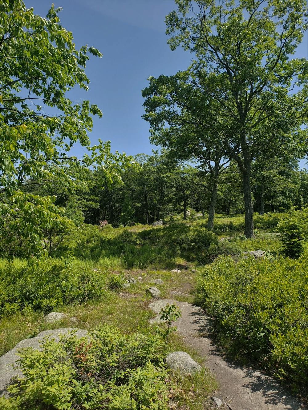
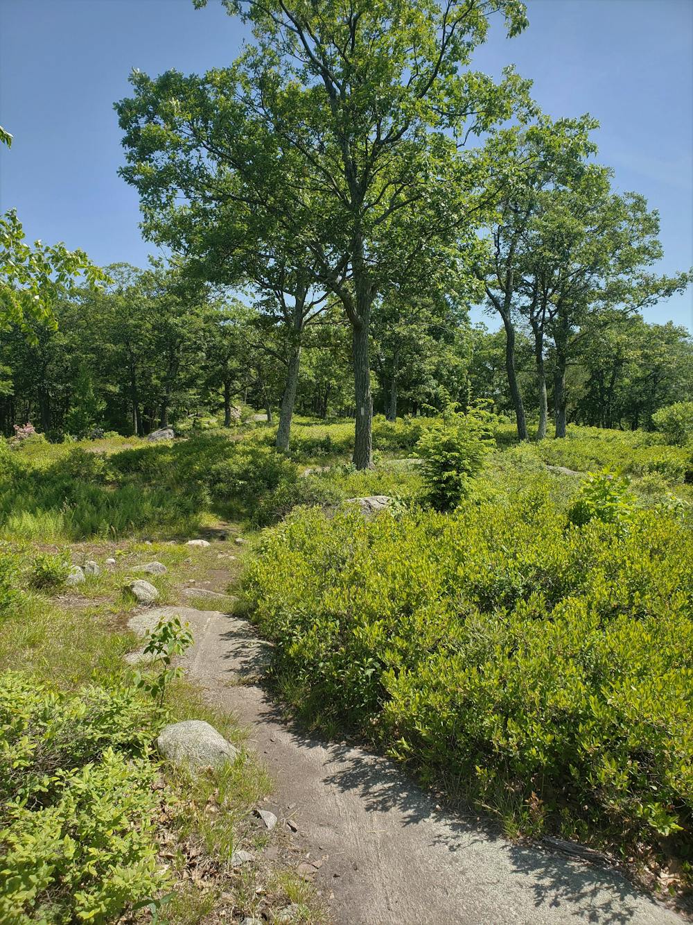
Heading north, make your way to Island Pond Mountain, where you'll cross through a grassy meadow intermingled with trees. A couple of trail intersections lie in this area and can make navigation tricky as you make your way north to Fingerboard Mountain above Lake Tiorati. Atop the lake, the trees give way to more grass, and you'll find a shelter adjacent to the highest point.
With another road crossing ahead, continue to Black Mountain before crossing the Palisades Interstate Parkway and entering Bear Mountain State Park. A massive parking area lies adjacent to the trail and provides several options for connecting to the white-blazed AT.
Winding its way to the top of Bear Mountain, the Applachian Trail reaches a small parking lot and the developed summit of the state park. On a clear day, the summit provides views as far as Manhattan, nearly 60 miles away.
Ahead, the AT passes Hessian Lake and Bear Mountain Zoo, the lowest elevation of the nearly 2,200-mile-long trail. A couple of parking opportunities lie on the west side of the Hudson River before crossing the Bear Mountain Bridge. On the east side of the Hudson, roadside parking can also be found.
Sources: https://en.wikipedia.org/wiki/BearMountainStatePark
Severe
Hiking challenging trails where simple scrambling, with the occasional use of the hands, is a distinct possibility. The trails are often filled with all manner of obstacles both small and large, and the hills are very steep. Obstacles and challenges are often unexpected and can be unpredictable.

The trail contains some obstacles such as outcroppings and rock which could cause injury.
Away from help but easily accessed.
58 routes · Hiking