
58 routes · Hiking
An excellent section hike or trail run lined with overlooks and overnight camping opportunities.
Hiking Difficult

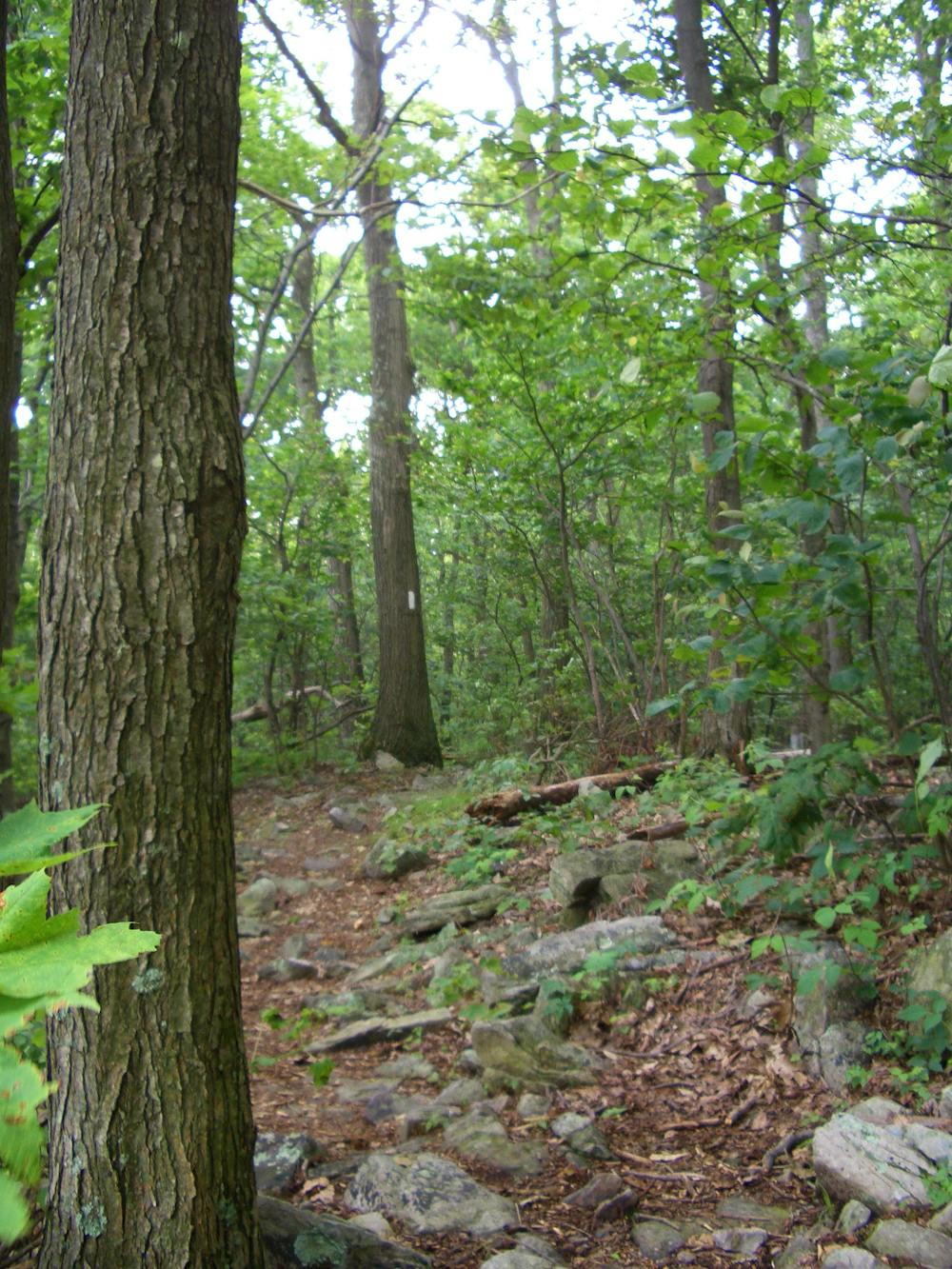
Keeping its rhythm of flattop ridge traverses, the AT crosses I-81 as it traverses a peaceful—yet rocky—stretch though State Game Land 80. This stretch through "Rocksylvania" will push your focus to the limit as you traverse through fields of boulders.
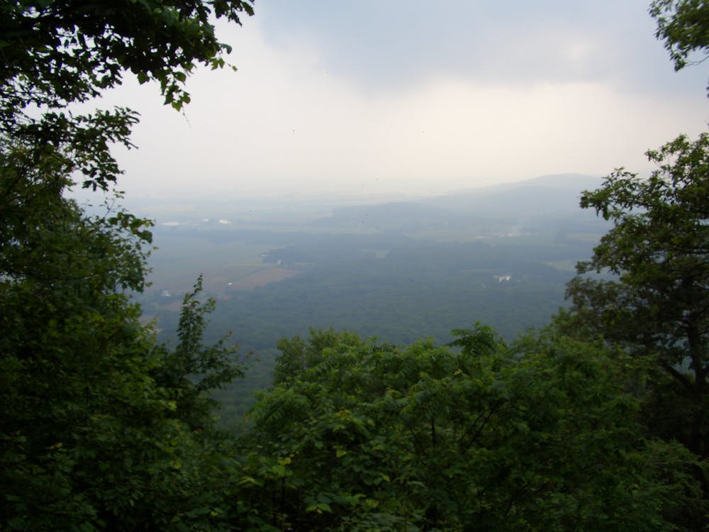
Heading northeast, the trail crosses through fields of talus rock formations as it traverses over the ridge. Overlooks and vantage points line this portion of the trail and should always be enjoyed.
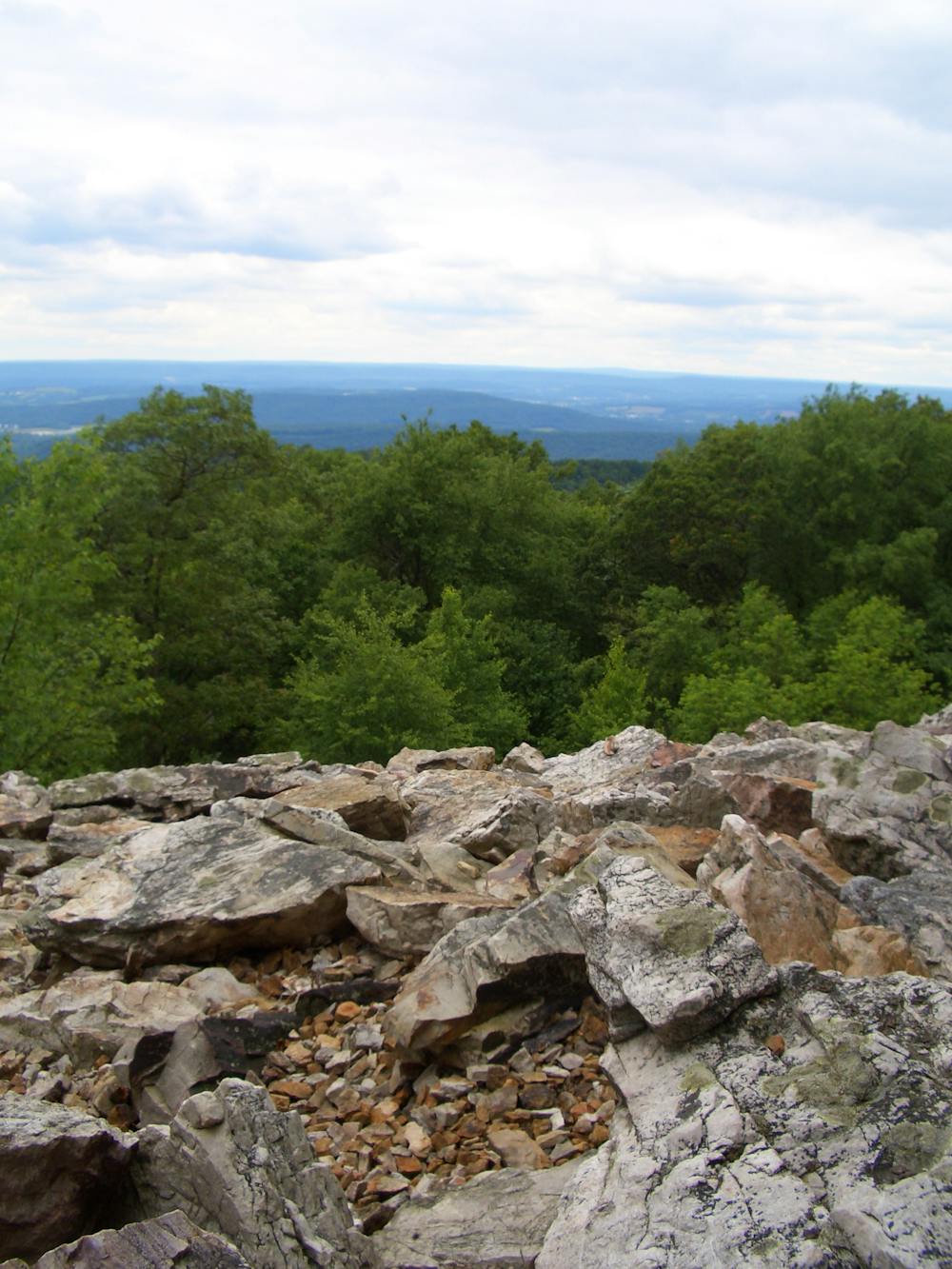
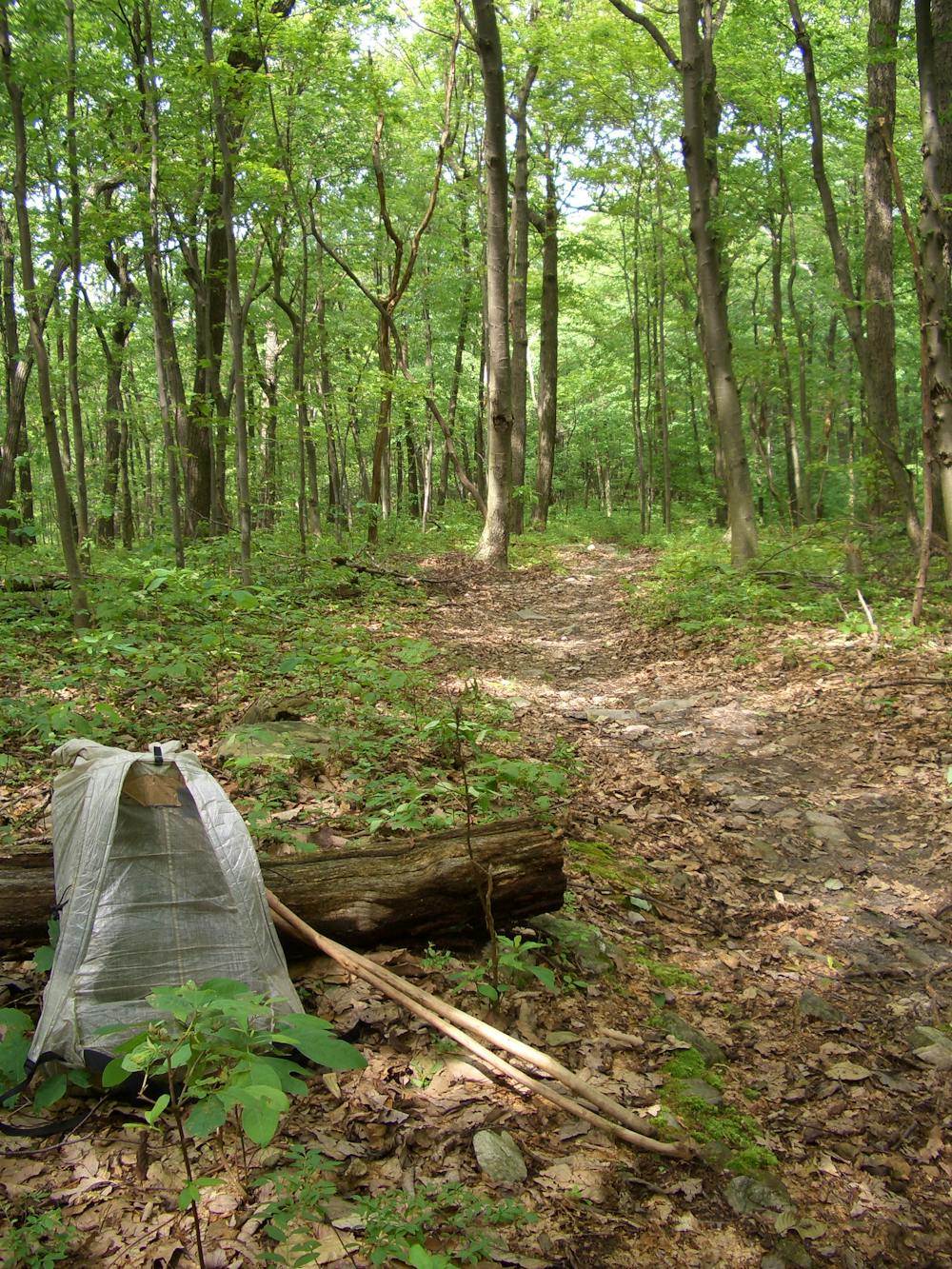
Continuing north on the AT, you'll pass a shelter, then PA-645, a popular access point for the trail. As the trail approaches PA-501, it winds onto a talus slope, giving an excellent vista to the south. Adjacent to the road is the 501 Shelter, another opportunity to spend the night.
The next portion of the trail is an excellent opportunity for a day hike as the trail alternates between dense, lush forests, and exposed slopes with killer views. The trail turns briefly southwest and traverses a point known as Round Head. A shorter, but steep, approach via the 500 Steps Trail is another way to reach the excellent viewpoint.
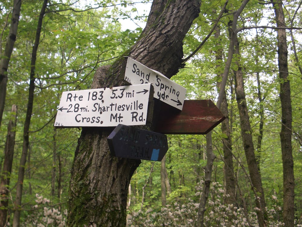
Crossing PA-183, a large parking area lies adjacent to the trail and serves as another way to access the trail. Continuing north, the trail re-enters a monotonous stretch through more State Game Lands and past Eagles Nest Shelter. A nearby overlook makes this an excellent opportunity to spend the night before rounding out the final piece of this segment.
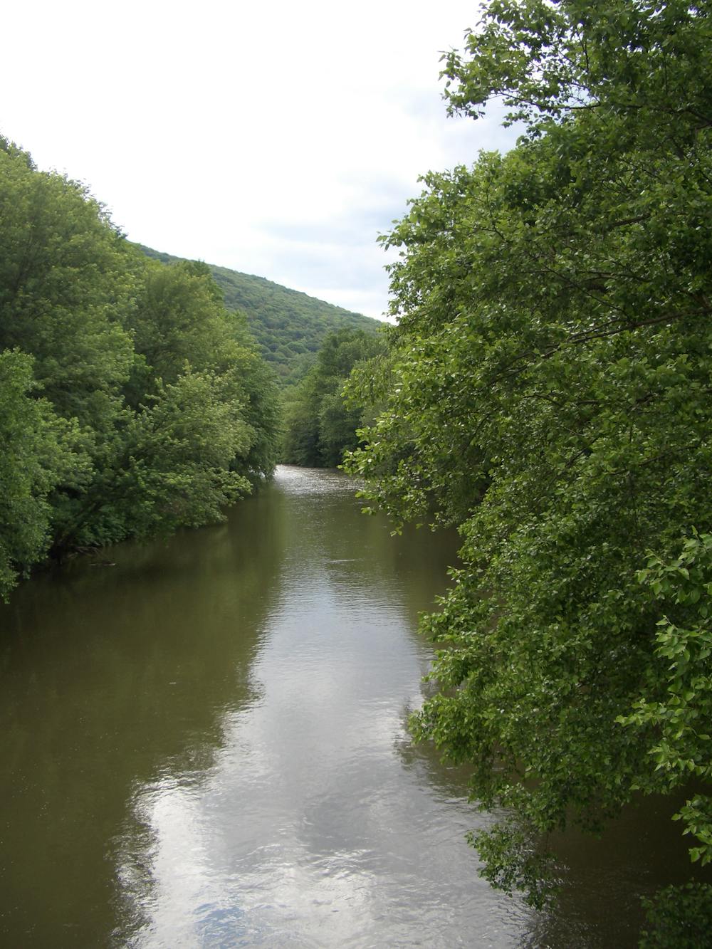
Paralleling a dirt access road, continue north to the Schuylkill River. The AT intersects the Schuylkill River Trail before crossing through Port Clinton to a trailhead on the opposing side of the river.
Difficult
Hiking trails where obstacles such as rocks or roots are prevalent. Some obstacles can require care to step over or around. At times, the trail can be worn and eroded. The grade of the trail is generally quite steep, and can often lead to strenuous hiking.

The trail contains some obstacles such as outcroppings and rock which could cause injury.
Away from help but easily accessed.
58 routes · Hiking