
58 routes · Hiking
A Pennsylvania segment of the AT lined with beautiful overlooks.
Hiking Difficult

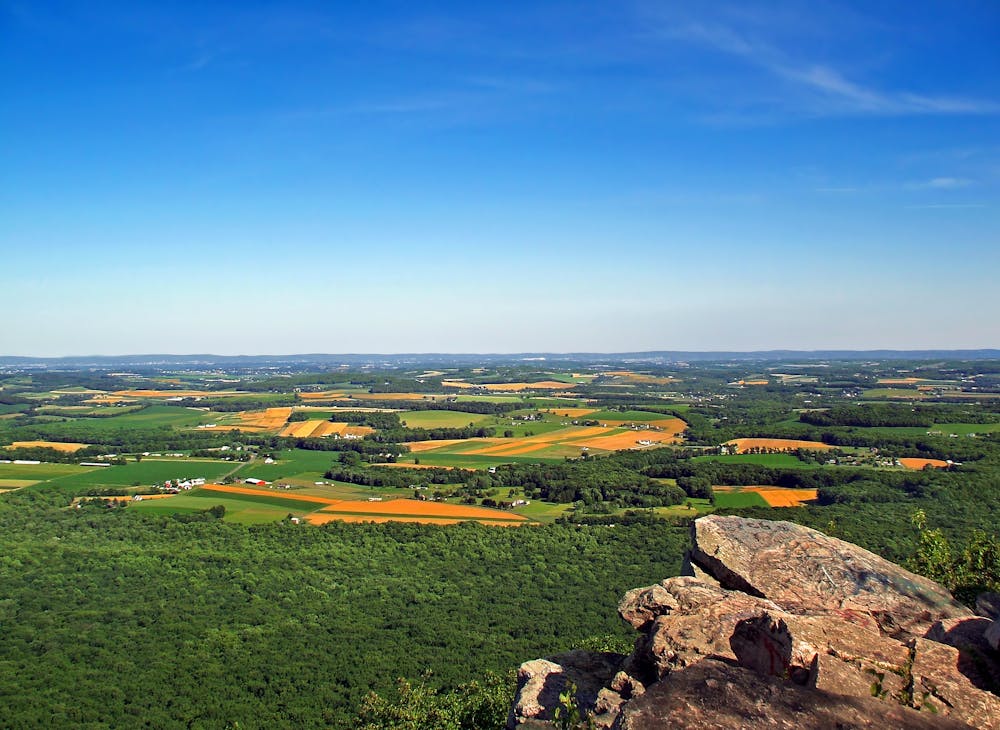
In similar fashion to the AT south of this area, the trail departs from the river up a steep climb to the ridge. After a rocky and heavily-forested traverse, the trail crosses over Furnace Creek before reaching the first two landmarks for the segment—Pulpit Rock and The Pinnacle. Arguably two of the best overlooks on the AT in the entire state, this area serves as a popular destination for day hikers. The Pinnacle, reminiscent of formations in Virginia and the Carolinas, provides an excellent view from 1,600 feet. Several other trails in the vicinity make for other options to form a shorter loop.
Continuing north on the AT, you'll skirt around the Hawk Mountain Preserve. Skyline Trail connects the Appalachian Trail to Hawk Mountain and ultimately to the other picturesque overlooks nearby. The views from the overlook are well worth leaving the white-blazed AT for a little bit.
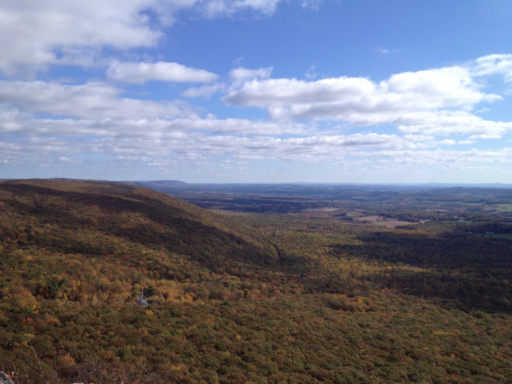
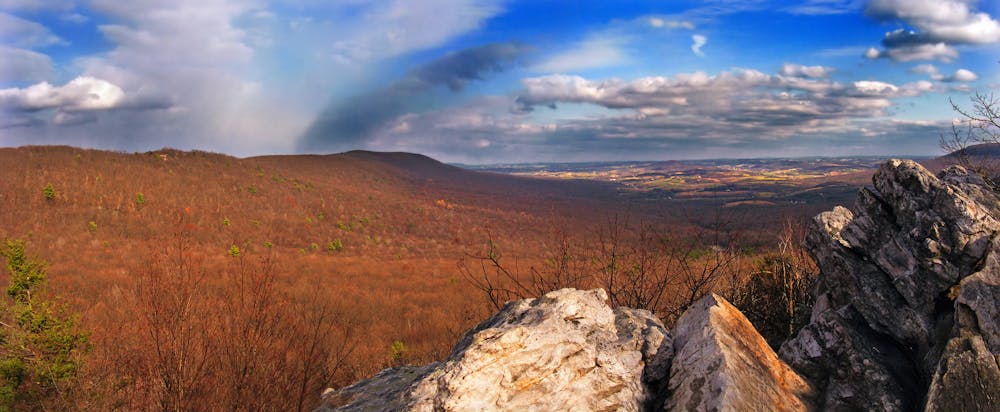
As the trail continues along the ridge, pass the shelter and continue northeast to PA-309. Soon after crossing the road, you'll find another shelter before passing a series of picturesque landmarks—the most notable of which is Bear's Rocks, an area known for its exposed stone slab summits.
The next road crossing along the AT is a popular starting point to reach Bake Oven Knob. The views from the summit are phenomenal, and a nearby shelter makes it a great area to spend the night.
Passing through Lehigh Furnace Gap, the trail passes over the Lehigh Tunnel, where an interstate instead passes through the mountain below.
To round out this segment, the trail heads through the Lehigh Gap Nature Center. Best-known for its wildlife, it's also a popular hiking area because of its countless open meadows and panoramic views.
Crossing the Lehigh River, look for a small parking area that serves as the northern terminus for this segment.
Sources: http://www.midatlantichikes.com/pulpitrock-pinnacle.htm
Difficult
Hiking trails where obstacles such as rocks or roots are prevalent. Some obstacles can require care to step over or around. At times, the trail can be worn and eroded. The grade of the trail is generally quite steep, and can often lead to strenuous hiking.

The trail contains some obstacles such as outcroppings and rock which could cause injury.

Little chance of being seen or helped in case of an accident.
58 routes · Hiking