
58 routes · Hiking
A long stretch paralleling the Housatonic River and rich with history.
Also in Connecticut, United States of America
Hiking Moderate

Along NY-22, a parking area lies slightly north of the trail and the adjacent train station. Though service is limited, this is a prominent access point from the AT to southern New York. As the trail heads north, it passes through Pawling Nature Preserve and over Hammersley Ridge, a popular area for shorter hiking and trail running opportunities.
After passing Wiley Shelter, you'll reach a road crossing, a popular access point to the picturesque Duell Hollow Brook Bridge. Ahead, the trail crosses into Connecticut for the first time. A small dirt parking area lies along just off the trail.
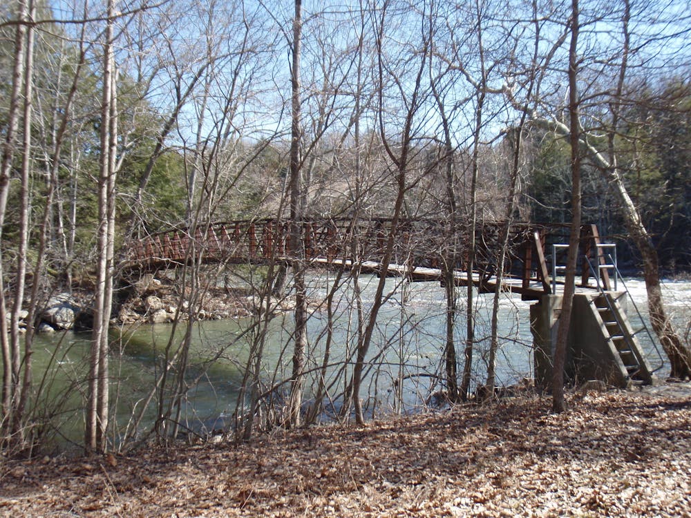
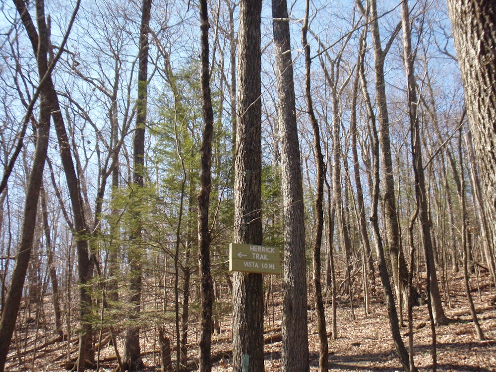
Ten Mile Hill and Herrick Trail Preserve lie ahead. At an elevation of 1000 feet, look for a spur trail leading to a viewpoint. Dense with history, this area serves as yet another popular destination for a day hike. For those who are thru-hiking or section-hiking, look for the Ten Mile River Shelter, just before reaching the footbridge over the river.
Before the next road, the AT passes a spur trail leading toward Bull's Bridge, one of the last three remaining covered bridges in the state of Connecticut. A small parking area lies on the east side of the bridge and the area provides excellent views of the river.
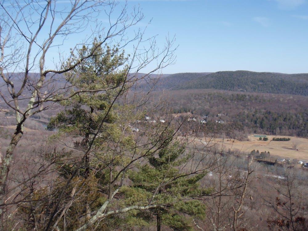
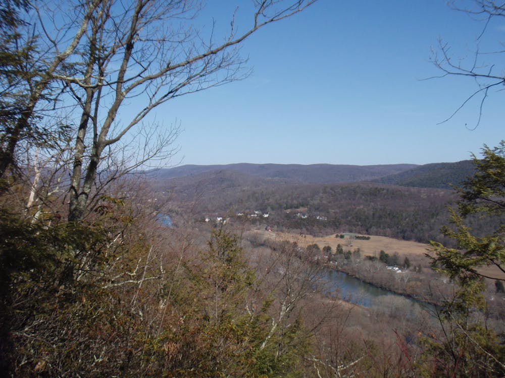
Continuing north, the trail passes through a small Native American Reservation, where it spirals back into NY atop Schaghticoke Mountain. A few vistas line the way before passing back into Connecticut for good. The small town of Kent lies ahead and serves as the next resupply point before paralleling the river for a long stretch.
Near Kent Falls, you will find a handful of overnight camping opportunities before heading north. Relatively quiet, the next portion leads to Lime Rock Road, known for Lime Rock Park just west of where the trail crosses the road.
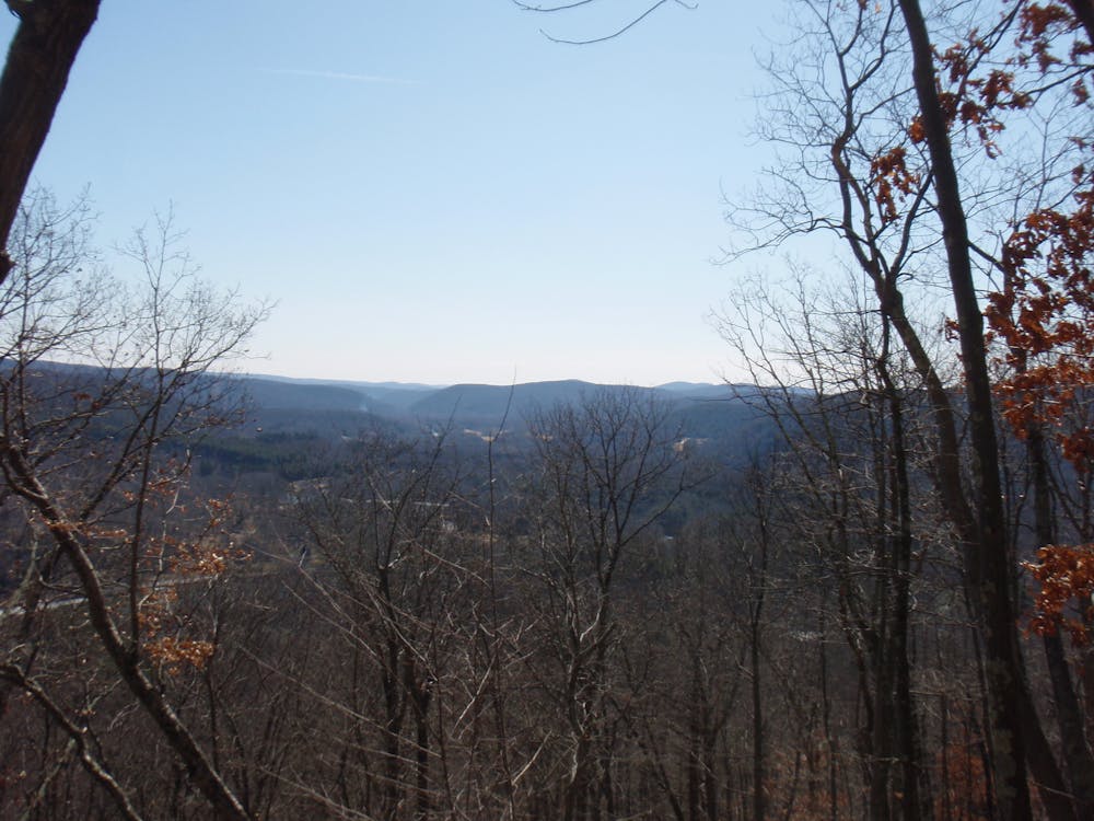
Passing through a couple of small towns, the trail reaches Great Falls on the Housatonic River. North of town, the trail makes its way to the edge of a clearing, offering a phenomenal view before reaching the northern terminus, just northwest of Salisbury.
Moderate
Hiking along trails with some uneven terrain and small hills. Small rocks and roots may be present.

The trail contains some obstacles such as outcroppings and rock which could cause injury.
Away from help but easily accessed.
58 routes · Hiking