
58 routes · Hiking
A ridgeline traverse into the iconic trail town of Damascus.
Also in Tennessee, United States of America
Hiking Moderate

This stretch of the white blazed AT between Watauga Lake and Damascus is a relatively mild finish to its traverse through Tennessee.
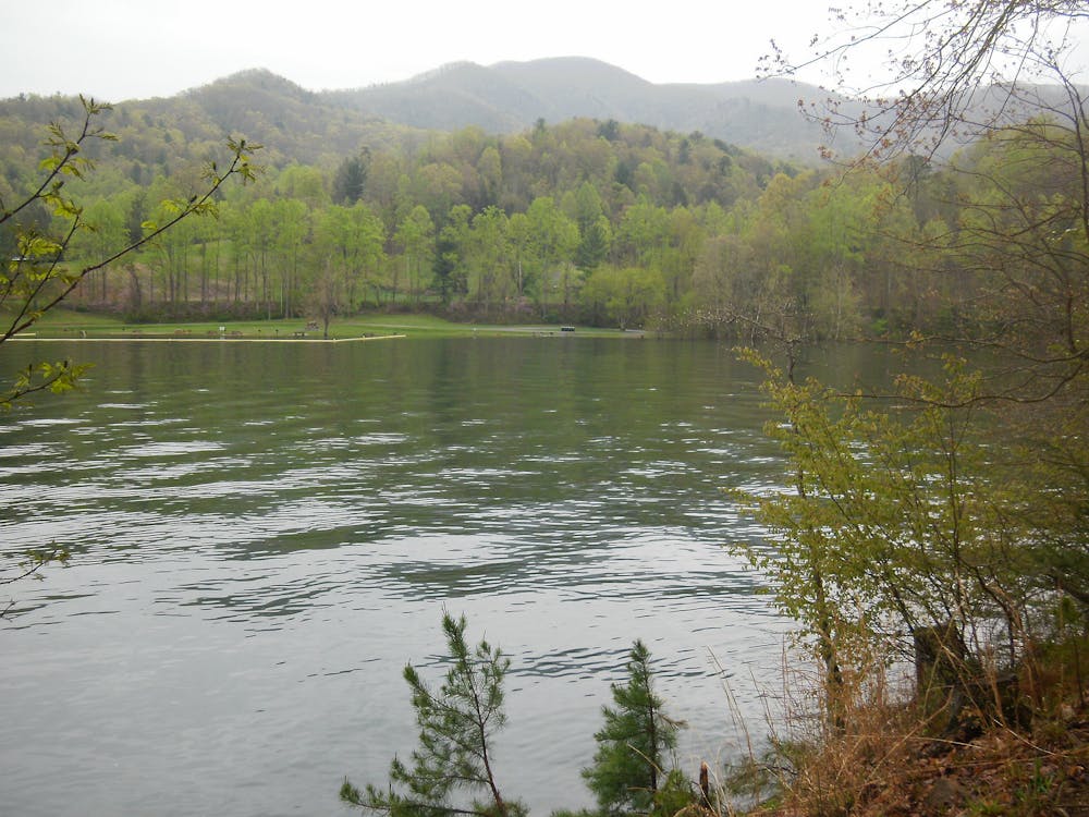
The southern terminus of Watuaga Lake (US-321) is reported to by others to be a safe place to leave a vehicle if you are planning a point-to-point hike. The boat ramp is regularly patrolled by law enforcement.
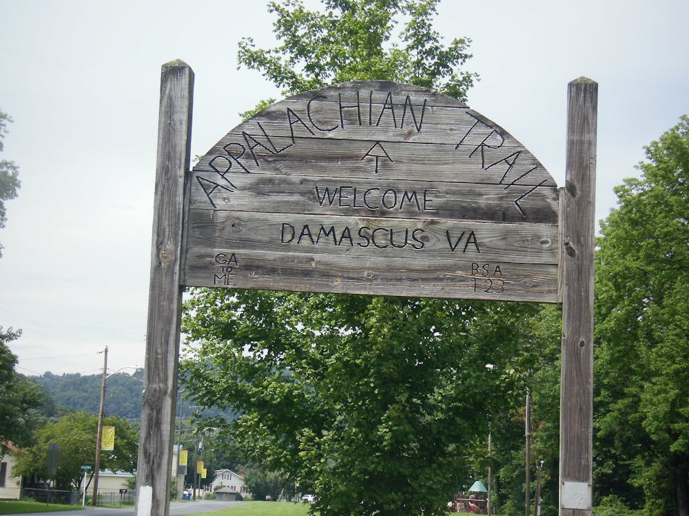
Damascus itself is referred to as "Trail Town USA," as the outdoor opportunities in the area draw in adventurers from all over the country. Both the Appalachian Trail and Virginia Creeper Trail pass through town, and the Mount Rogers National Recreation Area is just a short drive away.
Adventure companies, outdoor outfitters, bike shops, dining, and lodging opportunities are abundant in town. For the weary thru-hiker, this is a great place to spend some time relaxing. If hiking the entire AT, this is arguably one of the best resupply points since the Nantahala Outdoor Center.
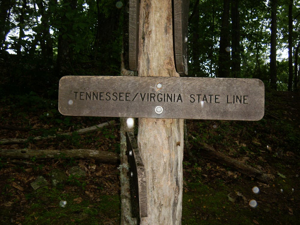
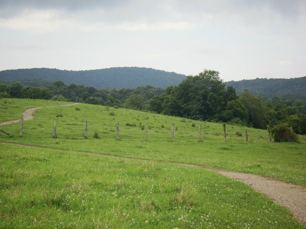
Leaving Watauga Lake, the trail climbs steadily up to a ridge, where it stays for the majority of the segment. Though the ridge is heavily forested, you'll still find a handful of opportunities to catch views off in either direction.
In the warmer months, water can be scarce. The cooler weather in the fall and spring often provides more reliable sources, plus thinning foliage can give way to better vistas from the countless knobs and high points along the ridge.
Opportunities for shorter hikes are limited, as once you are along the ridge, very few side trails or landmarks exist. If you are looking to get away from the clamor of the popular waterfalls south of Watauga Lake, this section is perfect for you. Once you reach the ridgeline, you can fall into a peaceful groove and the miles will pass rhythmically.
Sources list several shelters along the way, though one or two have closed occasionally due to high bear activity.
Sources: http://www.wikitrail.org/sections/view/at/3011/us-321-to-damascus http://www.visitdamascus.org/ https://www.whiteblaze.net/forum/showthread.php/111352-7-Day-Hike-from-US-321-Watauga-Lake-to-Damascus-VA
Moderate
Hiking along trails with some uneven terrain and small hills. Small rocks and roots may be present.

The trail contains some obstacles such as outcroppings and rock which could cause injury.
Away from help but easily accessed.
58 routes · Hiking