1.7 km away
Mount Tammanay: Red Dot and Blue Dot Loop
A fairly steep and sometimes rough hike to stunning views above the Delaware River.
Severe Hiking
- Distance
- 5.7 km
- Ascent
- 372 m
- Descent
- 372 m
Traversing the Kittatinny Ridge to High Point State Park.
Also in New Jersey, United States of America
Hiking Difficult

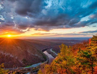
A popular section hike of the AT, this stretch traverses the Kittatinny Ridge from the Delaware Water Gap to High Point State Park, home to the highest point in New Jersey. Though the trail has left the infamously rocky state of Pennsylvania, New Jersey can still be just as rugged at times.
Several parking options exist within the Delaware Water Gap, as well as along the river. Kittatinny Point and Dunnfield Creek Natural Area are popular starting points along the New Jersey side of the river. This area is also home to several other trails that can be used to access Mount Tammany and other nearby landmarks. Overnight options, as well as shorter day hikes, are abundant in this area.
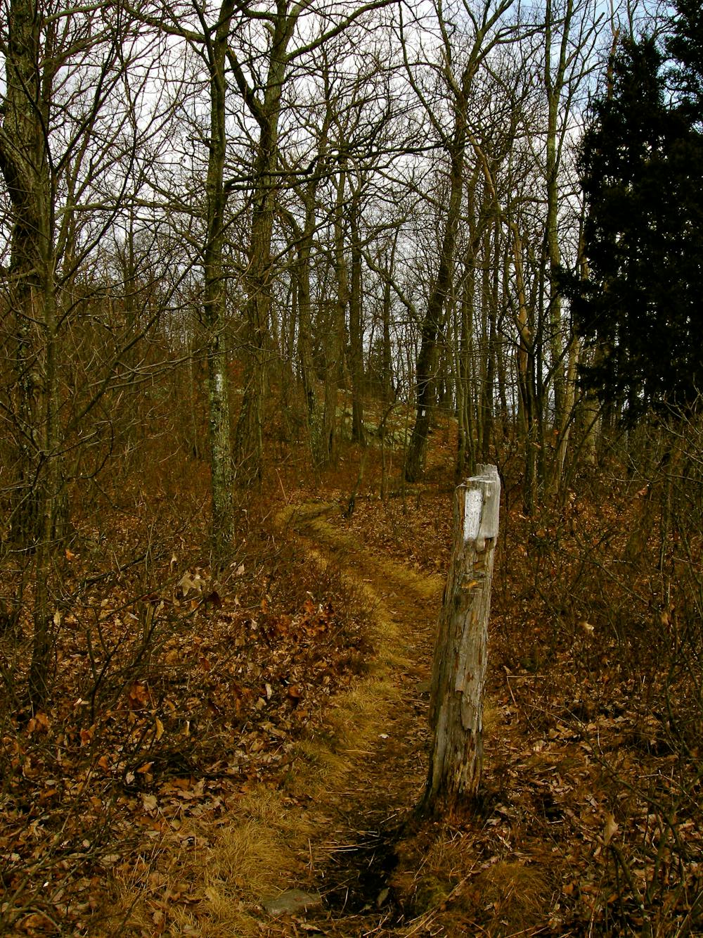
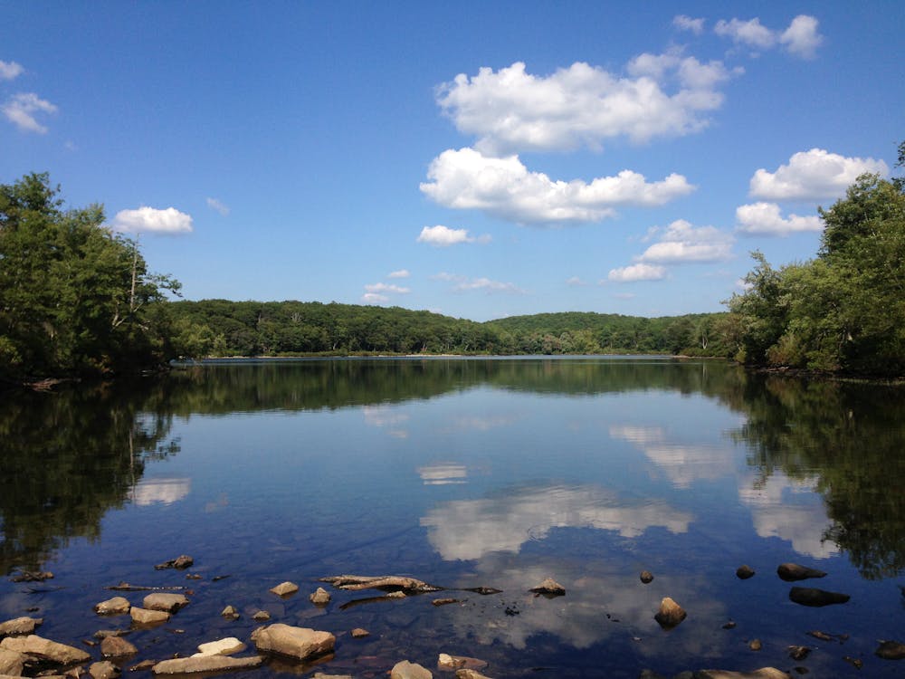
Climbing above Dunnfield Creek, the trail soon reaches Sunfish Pond. A National Natural Landmark, this glacial lake serves as a popular destination thanks to its flora, fauna, and occasional wildlife. This area is rich with mountain laurel and sheep laurel, and a nearby campground makes for a great opportunity to spend the night.
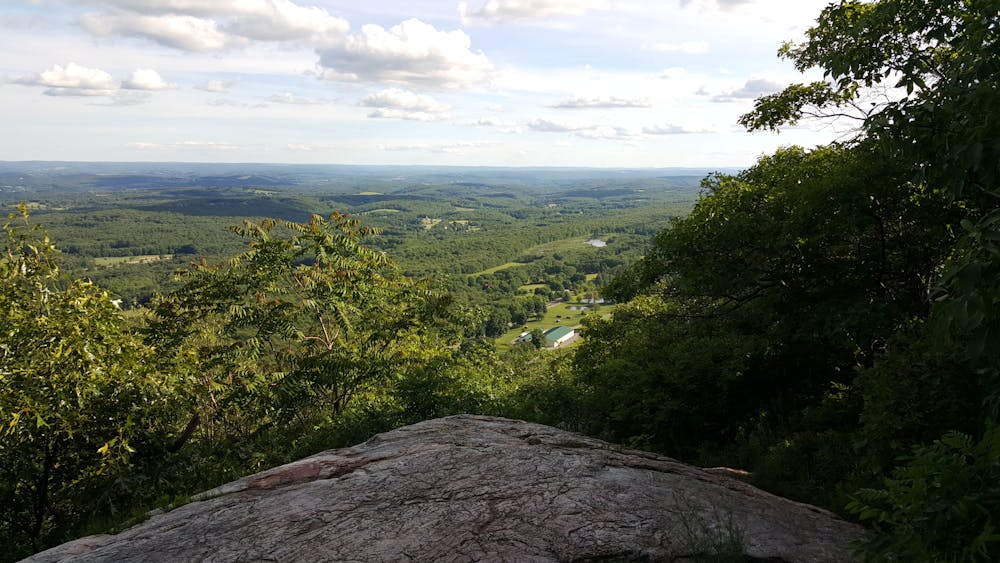
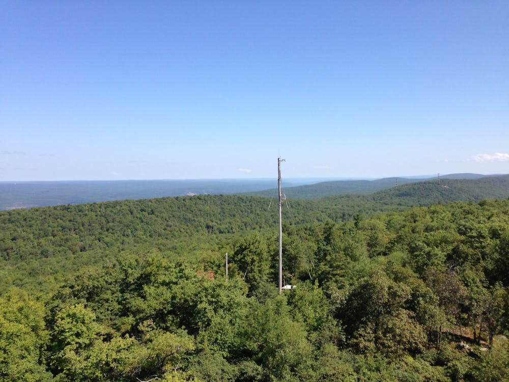
Continuing along the ridge, the trail passes the AMC Mohican Outdoor Center, delivering commanding views of the surrounding valleys and lakes along the way. Before reaching Millbrook Road, you'll pass the Catfish Fire Tower, a popular destination for a short day hike. Take the opportunity to climb it and enjoy the 360-degree view. This is also an excellent location to view the sunrise or sunset, as it is only slightly more than a mile from the road.
Heading northeast, the trail continues along the ridge and past a trailhead at a road junction. The rough, rocky trail will begin to give way to more forgiving dirt as the trail weaves through Long Pine Pond, Hemlock Pond, and Crater Lake. With unending views, continue to Culvers Gap, a popular resupply and access point. A parking area lies just beyond town along Sunrise Mountain Road.
Heading north on the trail, continue along the ridge and you'll pass a few other trailheads that allow easy access to the phenomenal views that you'll find along the way.
After crossing the Deckertown Turnpike, the AT makes its way into High Point State Park, the northern portion of this segment. Home to several other trails, this area serves as an excellent place to plan a day hike incorporating the white-blazed AT. Rounding out the segment, you'll be welcomed with more challenging terrain paired with even more spectacular views.
Sources: https://en.wikipedia.org/wiki/SunfishPond https://www.desktodirtbag.com/backpacking-across-new-jersey/ https://en.wikipedia.org/wiki/HighPointStatePark
Difficult
Hiking trails where obstacles such as rocks or roots are prevalent. Some obstacles can require care to step over or around. At times, the trail can be worn and eroded. The grade of the trail is generally quite steep, and can often lead to strenuous hiking.

The trail contains some obstacles such as outcroppings and rock which could cause injury.
Away from help but easily accessed.
1.7 km away
A fairly steep and sometimes rough hike to stunning views above the Delaware River.
Severe Hiking

58 routes · Hiking