1.4 km away
Blue Ridge Tunnel: Out-and-Back
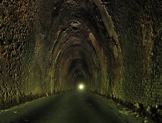
A historic and unique experience near Afton, Virginia.
Easy Hiking
- Distance
- 7.2 km
- Ascent
- 470 m
- Descent
- 470 m
The southern portion of Shenandoah National Park, full of day hiking and overnight opportunities.
Hiking Difficult

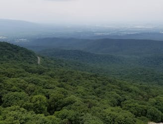
Paralleling the southern portion of Skyline Drive, this stretch of the Appalachian Trail provides countless day hiking opportunities that are easily-accessible from the road. Overlooks, bald summits, and unique formations are abundant throughout the Shenandoah National Park area.
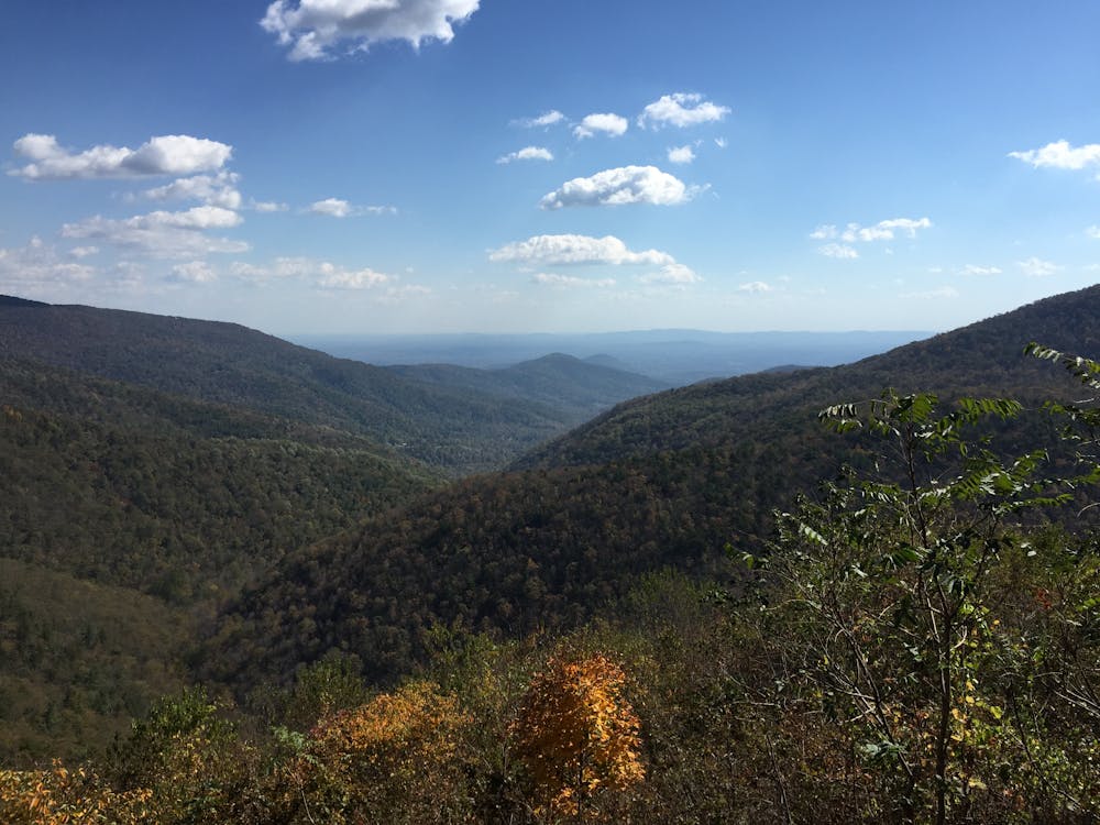
At Rockfish Gap, a few parking opportunities make for a great place to start a day hike, or to leave a vehicle for a shuttle. The Appalachian Trail traverses roughly 110 miles between Rockfish Gap and the Front Royal intersection, making this stretch excellent for a multi-day trek through Shenandoah National Park.
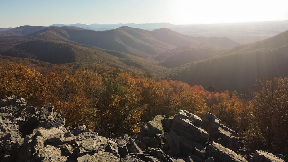
Five miles from the trailhead, you'll reach Bear Den Mountain, a popular short hike. Around mile marker 90 of Skyline Drive, you'll also reach an intersection with a spur trail leading to an excellent viewpoint at Chimney Rock.
Just north on the AT, cross over the summit of Blackrock, just above 3,000'. Its proximity to the road also makes this an excellent short hike with astounding views. If possible, visit the summit at dawn or dusk for a breathtaking view.
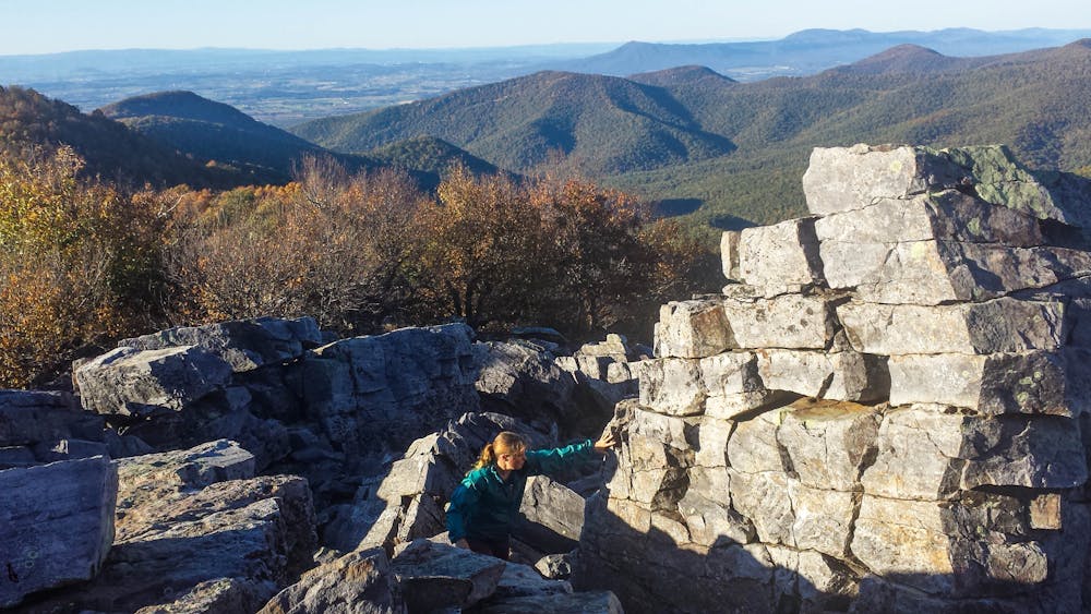
Winding around the national park's Loft Mountain Campground, the trail continues north passing Pinefield Hut, Simmons Gap, and Hightop Hut before reaching Swift Run Gap. Along this stretch, expect multiple road crossings including a few waysides with excellent photo opportunities.
Note that Skyline Drive is located within Shenandoah National Park and may close periodically due to inclement weather. For the latest warnings and for information on entrance fees and hours, visit this link: https://www.nps.gov/shen/planyourvisit/driving-skyline-drive.htm
Sources: www.wikitrail.org https://www.nps.gov/shen/planyourvisit/hiking-opportunities.htm
Difficult
Hiking trails where obstacles such as rocks or roots are prevalent. Some obstacles can require care to step over or around. At times, the trail can be worn and eroded. The grade of the trail is generally quite steep, and can often lead to strenuous hiking.

The trail contains some obstacles such as outcroppings and rock which could cause injury.

Close to help in case of emergency.
1.4 km away
A historic and unique experience near Afton, Virginia.
Easy Hiking
7.8 km away
A family-friendly day hike along the northern edge of the Blue Ridge Parkway
Moderate Hiking

58 routes · Hiking