1.4 km away
Appalachian Trail: Rockfish Gap to Swift Run Gap
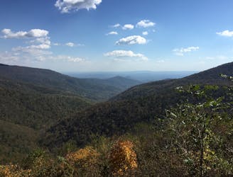
The southern portion of Shenandoah National Park, full of day hiking and overnight opportunities.
Difficult Hiking
- Distance
- 70 km
- Ascent
- 3.1 km
- Descent
- 2.9 km
A historic and unique experience near Afton, Virginia.
Hiking Easy
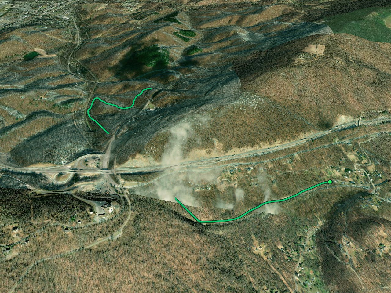
If you are looking for a short but memorable hike or ride near Afton, Virginia, you might want to check out the Blue Ridge Tunnel Trail. This 4.6-mile out-and-back trail takes you through a 4,700-foot tunnel that was bored through the Blue Ridge Mountains in the 1850s. "The tunnel was the longest tunnel in the United States at the time of its completion," according to Wikipedia. You can also make it a loop by following other trails in the area.
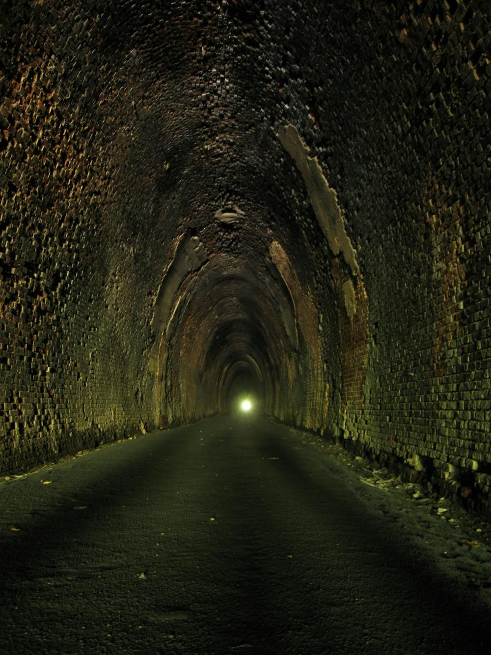
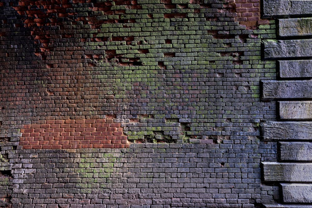
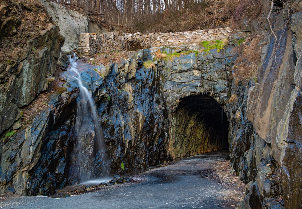
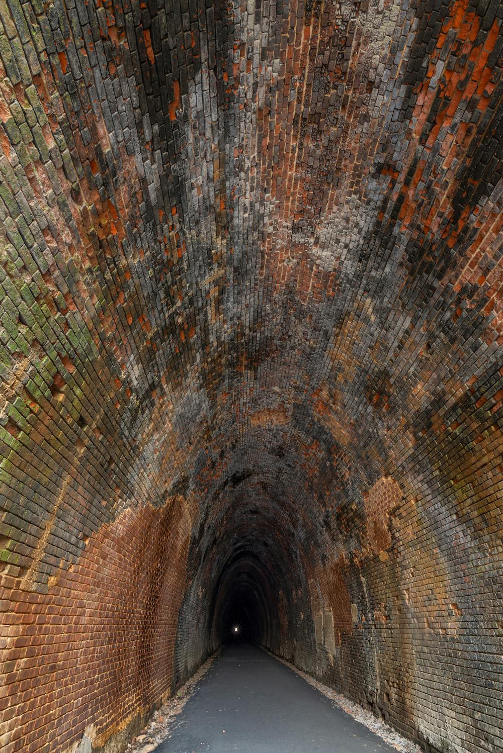
The trail starts at the Willard Street parking area and follows the blue blazes to the tunnel entrance. You will need a headlamp or flashlight to enter the tunnel, as it is not lit. The tunnel is nearly a mile long and has a gravel surface. You will see water dripping from the ceiling and walls, and hear echoes of your footsteps and voices. You will also learn about the history of the tunnel, which was engineered by Claudius Crozet and was the longest railroad tunnel in America at the time of its completion.
The tunnel exits on the west side of the mountain, where you can enjoy views of the valley and the active railroad line. You can either return through the tunnel or follow other trails to make a loop. The trail is open year-round and is dog-friendly, but make sure to keep your pup on a leash.
The Blue Ridge Tunnel Trail is a great option for hikers or riders of all levels who want to experience a historic and unique adventure in Virginia.
Sources: Blue Ridge Tunnel Trail, East Trailhead. https://www.nelsoncounty.com/blue-ridge-tunnel/. Blue Ridge Tunnel: Hike a Historic Tunnel in Virginia. https://gohikevirginia.com/blue-ridge-tunnel-hike/. Blue Ridge Tunnel - Wikipedia. https://en.wikipedia.org/wiki/BlueRidgeTunnel. Conversation with Bing Chat
Easy
Walking along a well-kept trail that’s mostly flat. No obstacles are present.

The path is on completely flat land and potential injury is limited to falling over.
Close to help in case of emergency.
1.4 km away
The southern portion of Shenandoah National Park, full of day hiking and overnight opportunities.
Difficult Hiking
8.6 km away
A family-friendly day hike along the northern edge of the Blue Ridge Parkway
Moderate Hiking

58 routes · Hiking