
58 routes · Hiking
An epic route across the Blue Ridge connecting low river valleys to high peaks.
Hiking Difficult

Crossing the James River footbridge, follow the white-blazed Appalachian Trail north to begin this segment. Parking along the river is plentiful, and a great option for leaving a vehicle, should you be planning a shuttle.
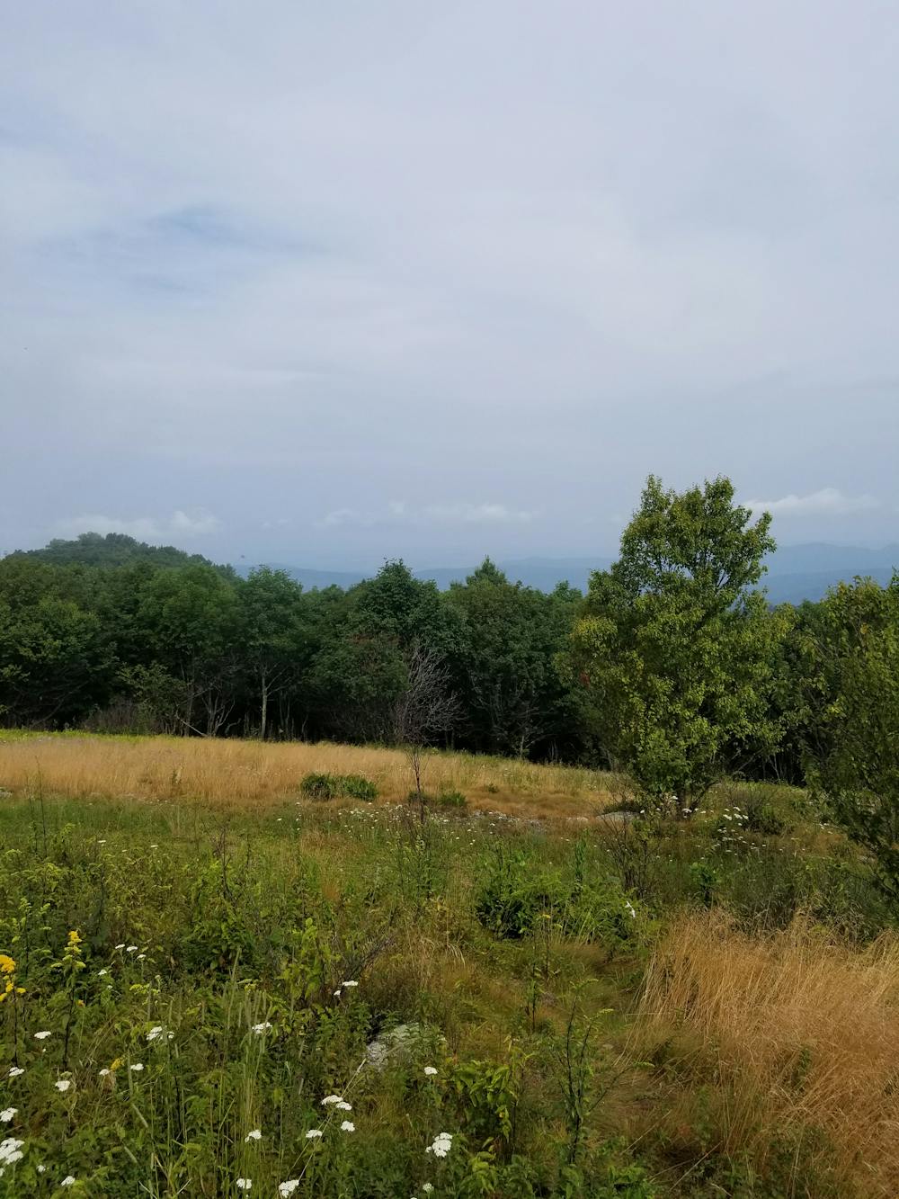
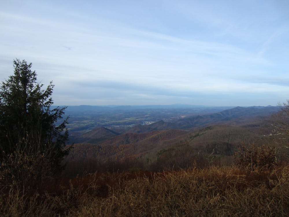
As the trail heads north, it climbs steadily to a ridge, where it skirts its way across a few high points. Two miles before reaching the Blue Ridge Parkway, you'll reach the picturesque summits of Bluff Mountain and Punchbowl Mountain. Atop Bluff Mountain, you'll find a clearing with spectacular views of the valley below. A fire tower was formerly located atop the summit but has since been removed.
Ahead, you'll reach the summit of Punchbowl Mountain and an adjacent shelter. Though there is no overlook, the dense forest is littered with a wide array of natural wildflowers. Due to its vicinity to the Blue Ridge Parkway, these summits provide an excellent day hiking opportunity.
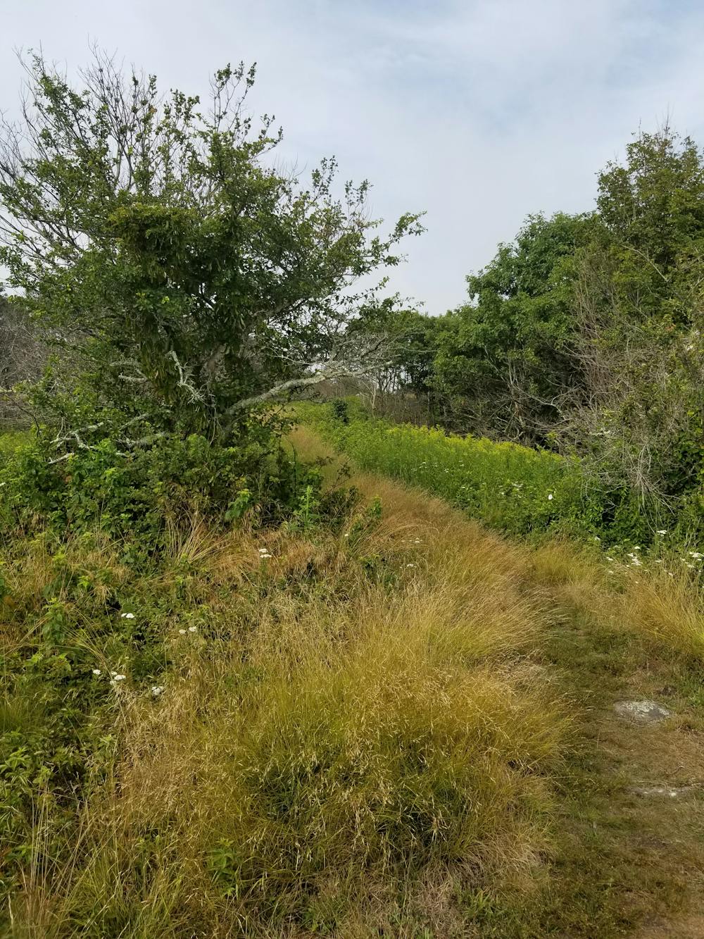
As you continue north, the trail spirals around Lynchburg Reservoir as it continues to the Lexington Turnpike. A small trailhead lies along the road, but there is no notable resupply town within walking distance.
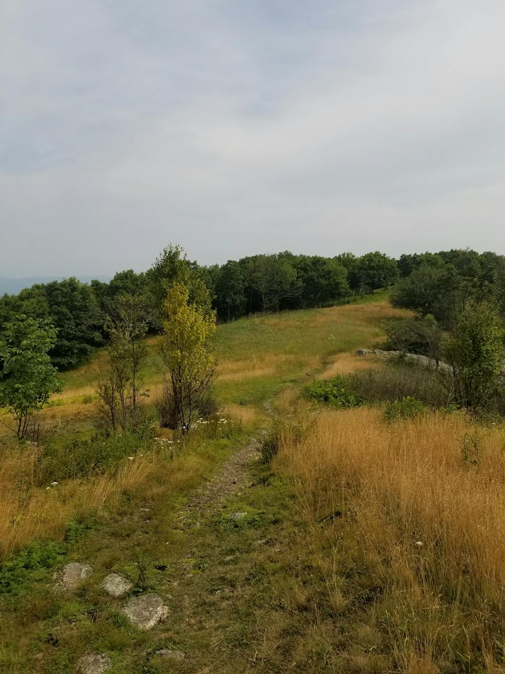
Climbing north from the trailhead, you'll pass a trail intersection at Cowcamp Gap before crossing the picturesque summit of Cole Mountain. Mostly clear of trees, this summit is a true gem in this region.
Reaching Wiggins Spring Road, you'll be less than a mile from a small trailhead along the dirt road. The nearby Mt Pleasant Special Management Area serves as an excellent day hiking opportunity, and its remote location makes it a great option to avoid the other often-crowded hikes in the vicinity.
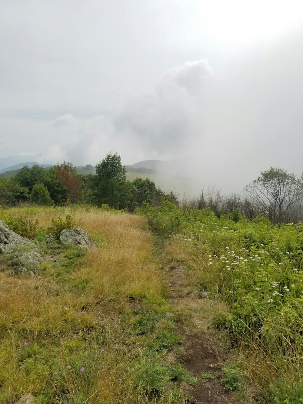
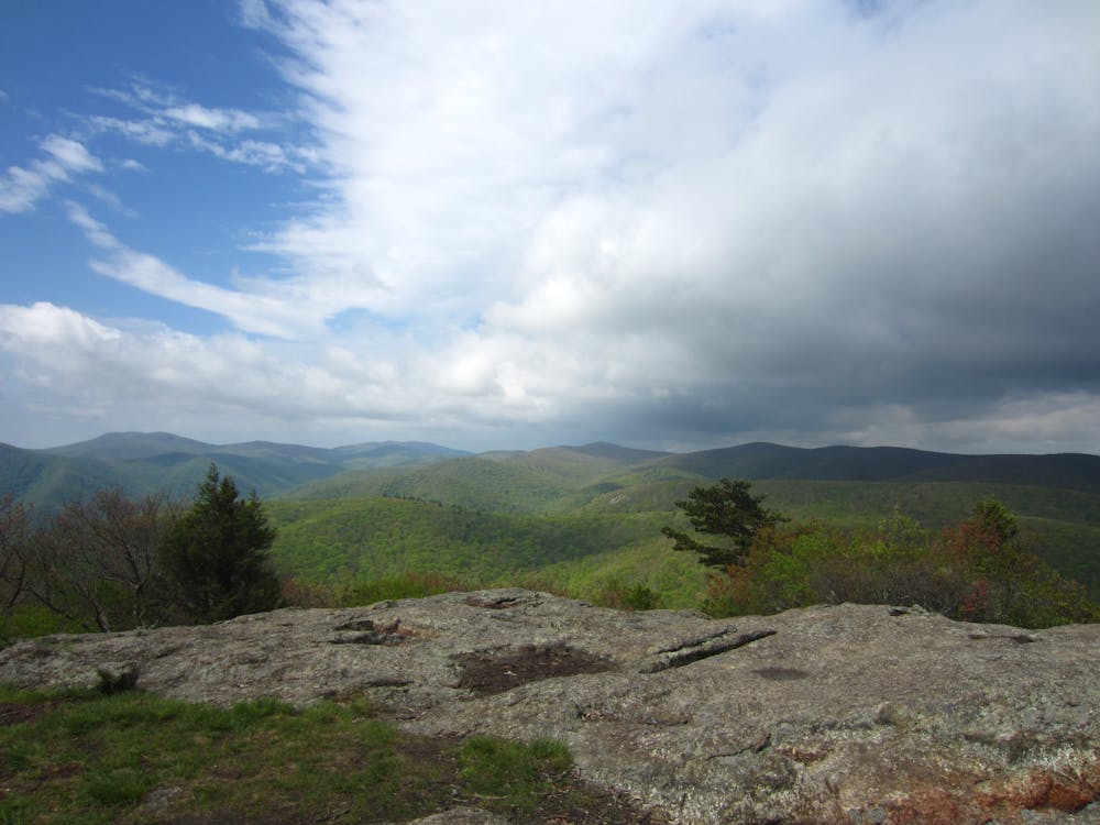
Continuing north, you'll pass the summit of Spy Rock, arguably one of the most amazing vistas in Virginia. Just a short hike down a spur trail and you'll reach the summit.
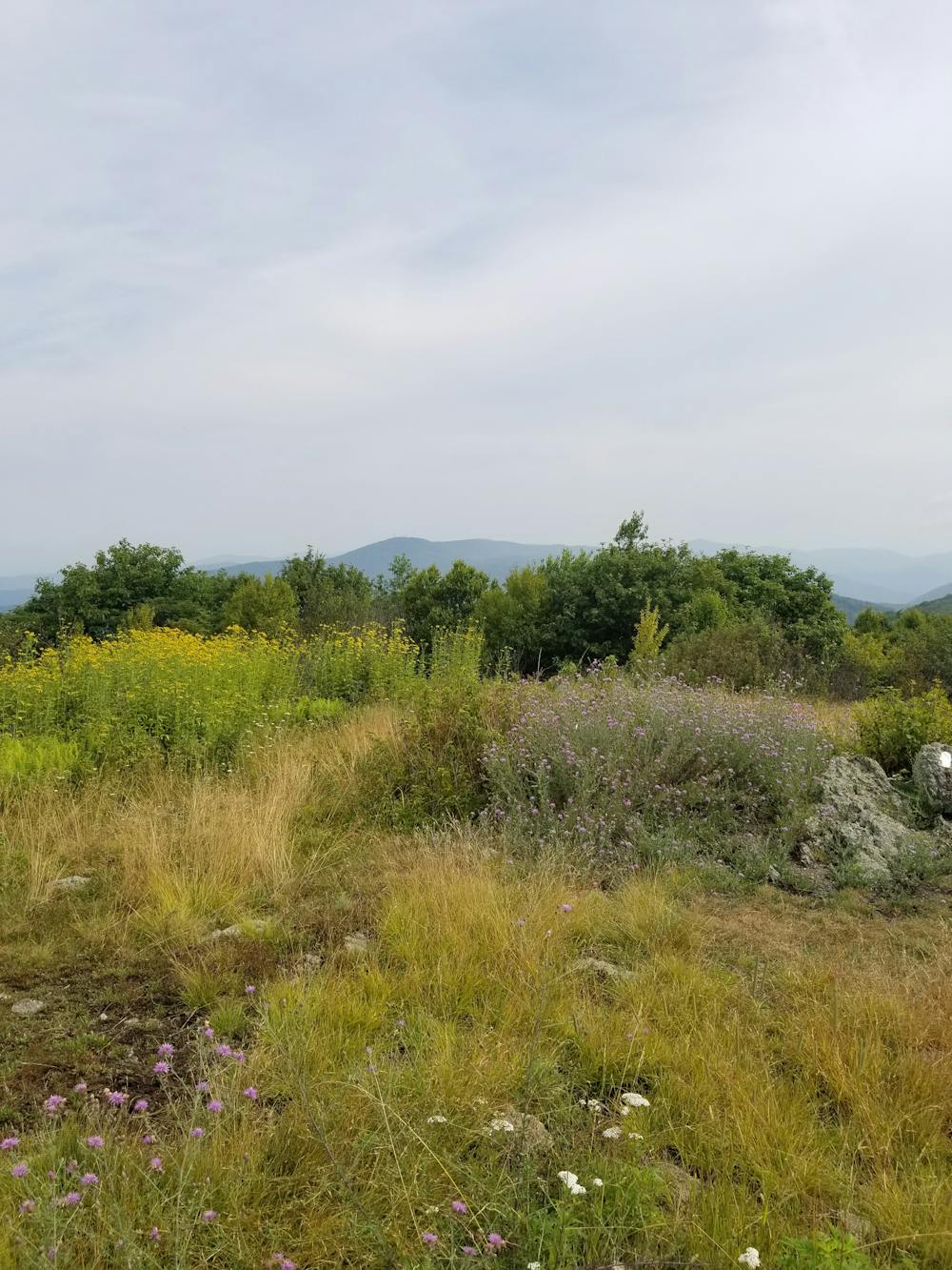
The final gem along this stretch is the 4,000-foot summit of The Priest. During the right seasons, you'll find this region covered with mountain laurel and wild azaleas—an excellent addition to the panoramic views from the summit.
Leaving the summit, you'll have a 3,000-foot descent to the parking area along GA-56, and the beginning of the Three Ridges Wilderness.
Sources: https://www.virginia.org/listings/OutdoorsAndSports/BluffMountain/ https://virginiatrailguide.com/2009/06/17/the-priest/
Difficult
Hiking trails where obstacles such as rocks or roots are prevalent. Some obstacles can require care to step over or around. At times, the trail can be worn and eroded. The grade of the trail is generally quite steep, and can often lead to strenuous hiking.

The trail contains some obstacles such as outcroppings and rock which could cause injury.

Little chance of being seen or helped in case of an accident.
58 routes · Hiking