
58 routes · Hiking
The first half of Massachusetts, widely renowned for Mount Everett and Guilder Pond.
Also in Connecticut, United States of America
Hiking Difficult

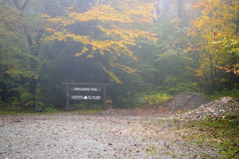
Heading north on the white-blazed Appalachian Trail, pass a couple of high points and continue onto the highest mountain summit in Connecticut—Bear Mountain. Enjoy the panoramic views before descending off the north slope and into Massachusetts.
Heading due north, the trail enters the Mount Everett State Reservation, first crossing over Mount Race before summiting the 2,600' peak of Mount Everett.
According to Wikipedia, "The mountain is known for its expansive views of the southern Taconics and Berkshires; for its old growth pitch pine and scrub oak; for the Appalachian Trail's north-south traverse of its shoulders and summit grounds; and for its rare plant and animal communities."
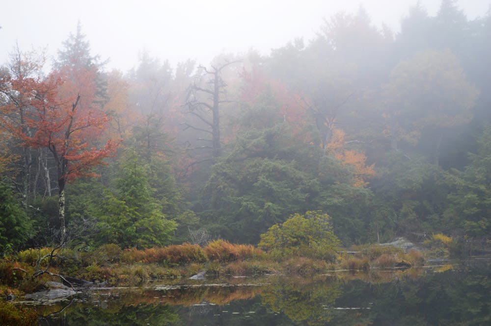
Along the northern base of the mountain, the trail skirts around Guilder Pond. A trailhead adjacent to the lake makes this a popular day hiking opportunity, with a trail circumnavigating the pond.
As the trail leaves the mountain ridge, it makes several road crossings, winding through the Berkshires and crossing the Housatonic River near US-7. Continuing in a northeastern direction, the trail winds through East Mountain State Forest.
Ahead, the trail crosses into Beartown State Forest and passes Benedict pond, another area with options for shorter day hikes. As you reach Tryingham, the AT reaches Cobble Hill Park, with a spur trail leading to a high point. For a shorter day hike, the Tryingham Cobble Loop can be accessed from town and incorporates a small portion of the AT.
Finishing out this segment, the trail skirts around Goose Pond and terminates on the north side of the Massachusetts Turnpike. Northwest on US-20, a pull-off serves as the primary parking area to access the trail.
Sources: http://www.mountainsummits.com/mountains/connecticut/bear.htm
Difficult
Hiking trails where obstacles such as rocks or roots are prevalent. Some obstacles can require care to step over or around. At times, the trail can be worn and eroded. The grade of the trail is generally quite steep, and can often lead to strenuous hiking.

The trail contains some obstacles such as outcroppings and rock which could cause injury.
Away from help but easily accessed.
58 routes · Hiking