85 routes · Hiking · Trail Running
Hiking in Massachusetts
Go hiking in Massachusetts with curated guides of the best hikes across the region. With over 98 3D trail maps in FATMAP, you can easily discover and navigate the best trails in Massachusetts.
No matter what your next adventure has in store, you can find a guide on FATMAP to help you plan your next epic trip.
Get a top hiking trail recommendation in Massachusetts from one of our 2 guidebooks, or get inspired by the 98 local adventures uploaded by the FATMAP community. Start exploring now!
Hiking Destinations in Massachusetts
Hiking Routes in Massachusetts
Bruce Freeman Rail Trail
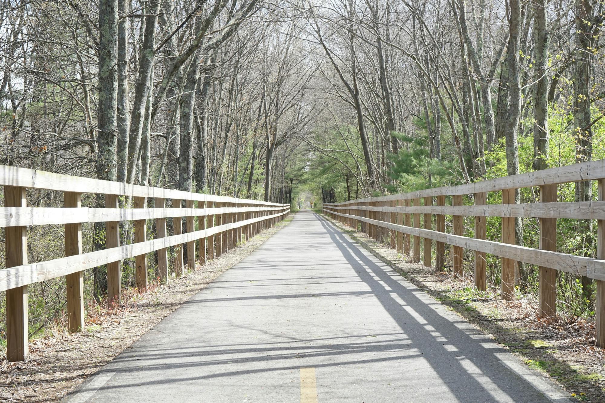
A beautiful rails-to-trails route beginning in Lowell.
Easy Hiking
- Distance
- 24 km
- Ascent
- 145 m
- Descent
- 125 m
Blue Hills Skyline Trail: Out-and-Back
![Blue Hills Skyline Trail: Out-and-Back](https://fatmap-adventure-screenshots.imgix.net/routes/3256349-blank.png?w=328&h=250&auto=compress%2Cformat)
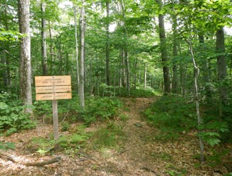
Quite a challenging hike for the outskirts of Boston!
Severe Hiking
- Distance
- 25 km
- Ascent
- 1.1 km
- Descent
- 1.1 km
Long Trail: Southern Terminus via the Appalachian Trail
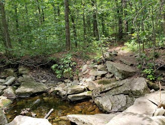
A common approach to the southern terminus of Vermont's Long Trail.
Moderate Hiking
- Distance
- 6.3 km
- Ascent
- 538 m
- Descent
- 21 m
Long Trail: Massachusetts State Line to Stratton Pond
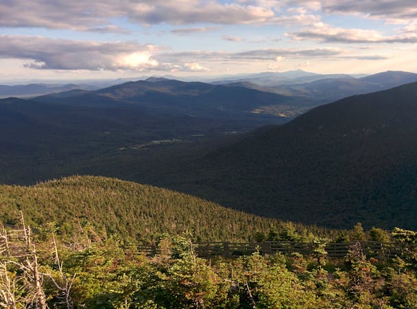
The southernmost segment of Vermont's Long Trail.
Difficult Hiking
- Distance
- 55 km
- Ascent
- 2.3 km
- Descent
- 2.4 km
Appalachian Trail: MA-2 to Stratton Pond
The AT transitions from the Berkshires of Massachusetts to the Green Mountains of Vermont.
Difficult Hiking
- Distance
- 61 km
- Ascent
- 2.8 km
- Descent
- 2.3 km
Appalachian Trail: US-20 to MA-2
The AT traverses the largest state forest to the highest summit in Massachusetts.
Difficult Hiking
- Distance
- 65 km
- Ascent
- 2.3 km
- Descent
- 2.5 km
Appalachian Trail: Salisbury to US-20
The first half of Massachusetts, widely renowned for Mount Everett and Guilder Pond.
Difficult Hiking
- Distance
- 76 km
- Ascent
- 3.1 km
- Descent
- 2.9 km
Race Point Light walk via Hatches Harbor Trail
![Race Point Light walk via Hatches Harbor Trail](https://fatmap-adventure-screenshots.imgix.net/routes/3743136-blank.png?w=328&h=250&auto=compress%2Cformat)
Sandy walk to Race Point Light
Easy Hiking
- Distance
- 5.9 km
- Ascent
- 17 m
- Descent
- 17 m
Hiking Guidebooks in Massachusetts
58 routes · Hiking
The Appalachian Trail
9 routes · Hiking