0 m away
Appalachian Trail: MA-2 to Stratton Pond
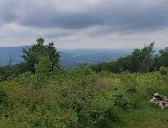
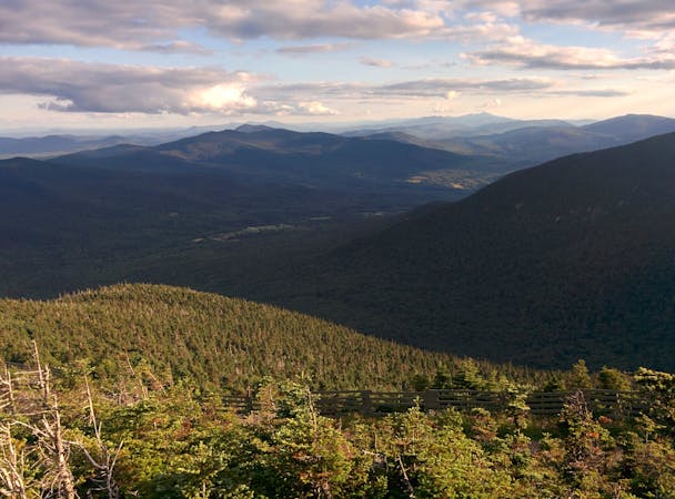
The AT transitions from the Berkshires of Massachusetts to the Green Mountains of Vermont.
Difficult Hiking
- Distance
- 61 km
- Ascent
- 2.8 km
- Descent
- 2.3 km
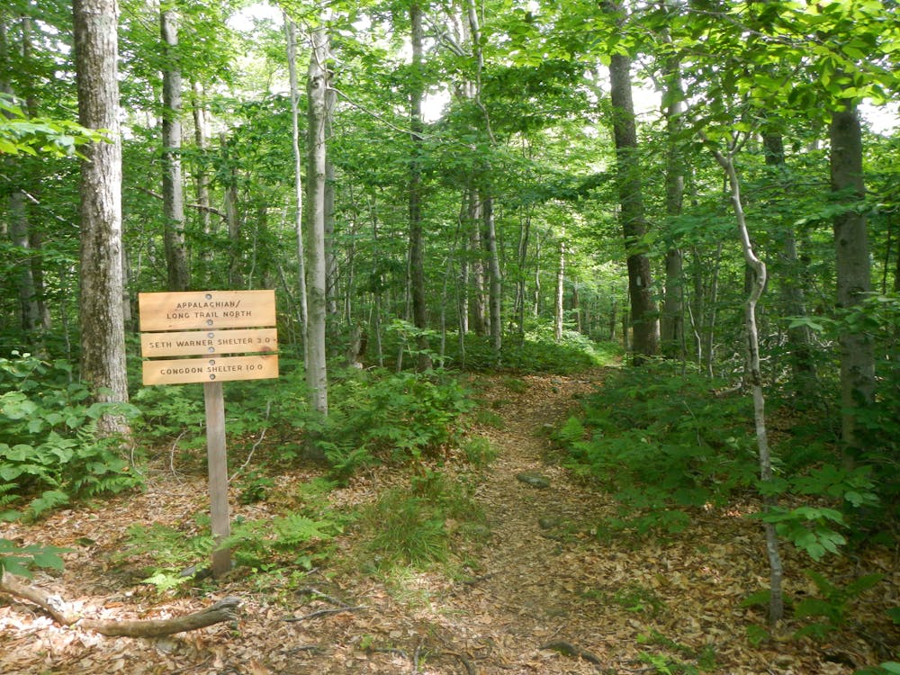
A common approach to the southern terminus of Vermont's Long Trail.
Hiking Moderate

Completed in 1930, Vermont's 273-mile Long Trail boasts the title of the oldest long-distance hiking trail in the United States. Built and maintained by the Green Mountain Club, the trail dissects Vermont north to south, connecting the Massachusetts State line to the Canadian border.

For roughly the first 100 miles, the Appalachian Trail coaligns with the Long Trail, following the main ridge of the Green Mountains. Just west of Killington, the AT ultimately departs east for Mount Katahdin, and the Long Trail continues to Canada. According to sectionhiker.com, the entire trail takes the average hiker less than three weeks and is best hiked in the summer to early fall. Temperatures can differ immensely between northern and southern Vermont, and another source suggests September as the best time for southbound hikers to make their journey.
With the official terminus of the Long Trail along the Massachusetts state line, hikers must follow the AT roughly 4 miles north from North Adams, MA. The summit of East Mountain provides some sweeping views before leading hikers to the state line, where a wooden placard denotes the start of the LT.
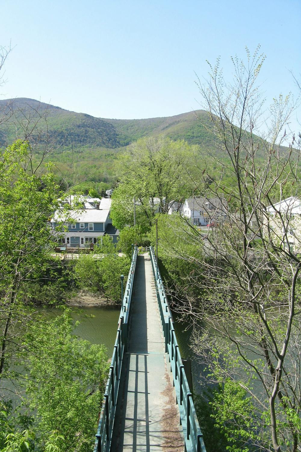
If planning a longer thru-hike, take the time to properly re-supply in North Adams. Without hitchhiking, there are no notable resupply points along the way. Additionally, the Appalachian Trail Conservancy recommends avoiding this region in April and May due to mud.
Sources: https://hikeandcycle.com/the-long-trail-5-things-to-know-when-planning-your-hike/ https://en.wikipedia.org/wiki/LongTrail https://sectionhiker.com/how-to-hike-vermonts-long-trail/
Moderate
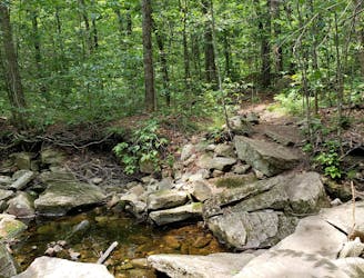
Hiking along trails with some uneven terrain and small hills. Small rocks and roots may be present.

The trail contains some obstacles such as outcroppings and rock which could cause injury.
Away from help but easily accessed.
0 m away
The AT transitions from the Berkshires of Massachusetts to the Green Mountains of Vermont.
Difficult Hiking
4.9 km away
The southernmost segment of Vermont's Long Trail.
Difficult Hiking

58 routes · Hiking
9 routes · Hiking