4.9 km away
Appalachian Trail: MA-2 to Stratton Pond
The AT transitions from the Berkshires of Massachusetts to the Green Mountains of Vermont.
Difficult Hiking
- Distance
- 61 km
- Ascent
- 2.8 km
- Descent
- 2.3 km
The southernmost segment of Vermont's Long Trail.
Also in Massachusetts, United States of America
Hiking Difficult

Completed in 1930, Vermont's 273-mile Long Trail boasts the title of the oldest long-distance hiking trail in the United States. Built and maintained by the Green Mountain Club, the trail dissects Vermont north to south, connecting the Massachusetts State line to the Canadian border.
For roughly the first 100 miles, the Appalachian Trail coaligns with the Long Trail, following the main ridge of the Green Mountains. Just west of Killington, the AT ultimately departs east for Mount Katahdin, and the Long Trail continues to Canada. According to sectionhiker.com, the entire trail takes the average hiker less than three weeks and is best hiked in the summer to early fall. Temperatures can differ immensely between northern and southern Vermont, and another source suggests September as the best time for southbound hikers to make their journey.
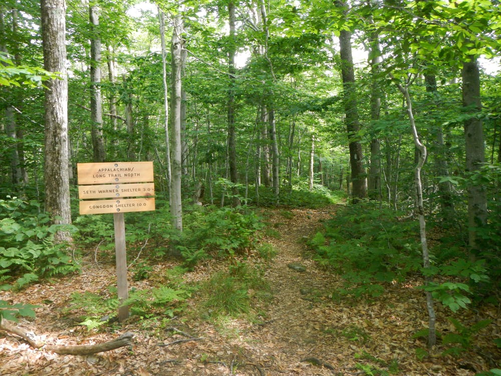
With the official terminus of the Long Trail along the Massachusetts state line, hikers must follow the AT roughly 4 miles north from North Adams, MA. Passing over East Mountain, the trail quickly reaches the state line, where a wooden placard denotes the start of the LT.
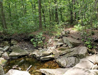
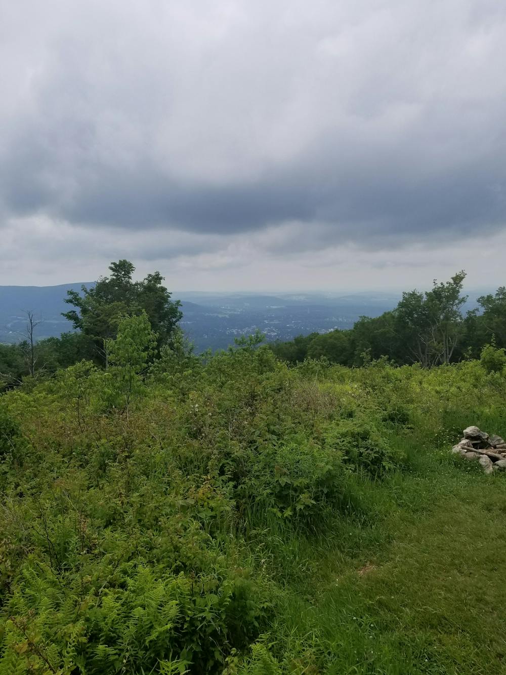
Passing through a remote stretch of forest, the trail skirts around Lake Hancock. One road crossing lies ahead before the trail traverses to a high point at Harmon Hill. This clearing provides phenomenal views of nearby Bennington to the west. An incredibly rocky, stair-like descent lines the final mile to VT-9, also referred to as Molly Stark Trail.
A small trailhead lies across the road before crossing the river. For thru-hikers, this is the first opportunity to hitchhike (or take the bus) into town for resupply.
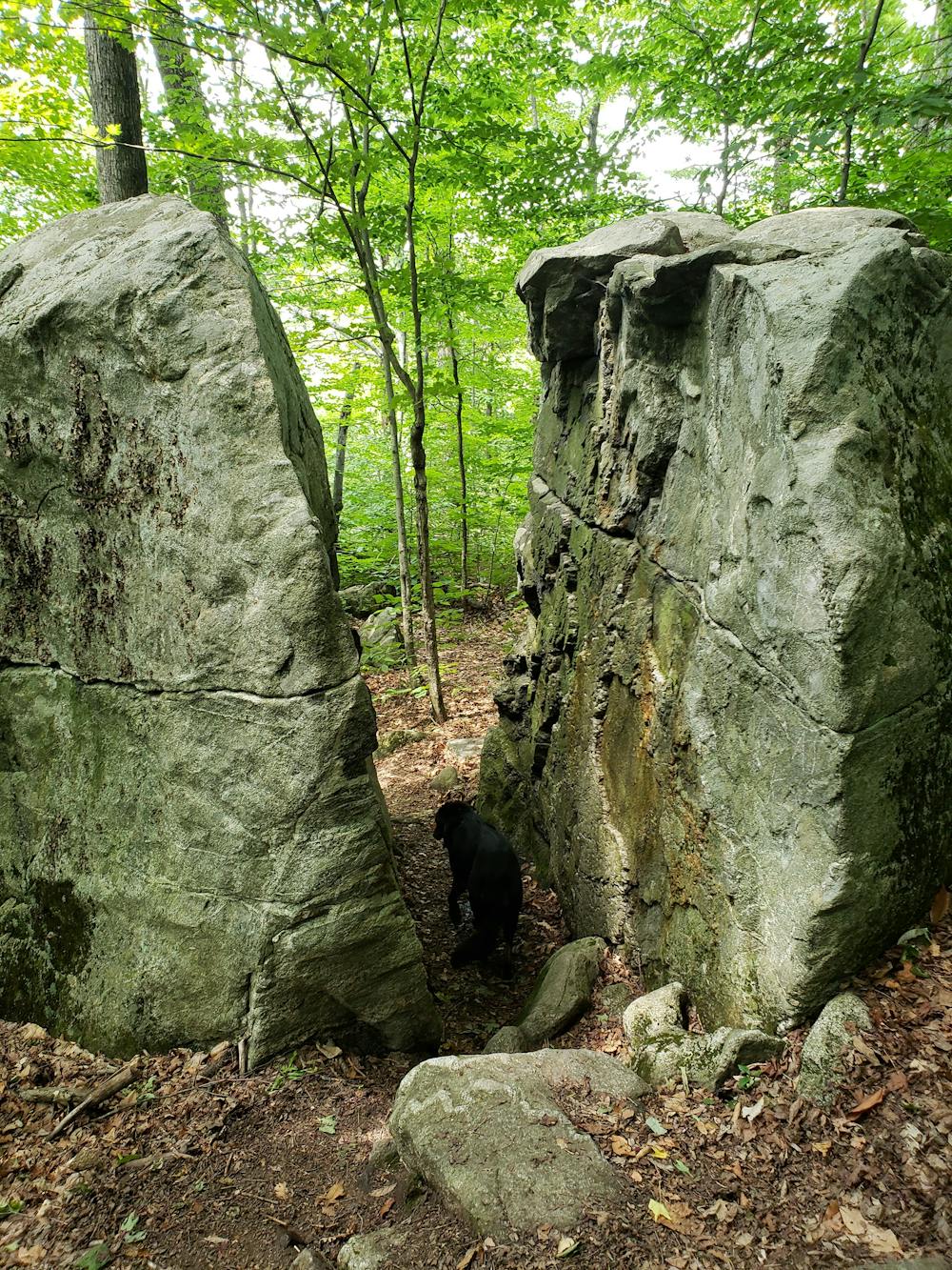
Just north on the trail, you'll reach a large boulder with a crack wide enough to pass through. This landmark serves as a popular destination for a short hike from the road and a great spot for lunch.
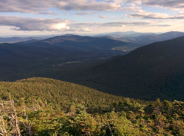
Ahead, the trail passes over Maple Hill and into Glastenbury Wilderness. After an arduous climb to the top, you'll be welcomed with an observation tower and 360-degree views of the surrounding mountains.
Adjacent to the ridge, the abandoned town of Glastenbury lies in the valley to the west. Once a booming logging and mining town, the area is now home to a considerable amount of strange phenomena—paranormal activity, strange disappearances, and even UFO sightings, to name a few.
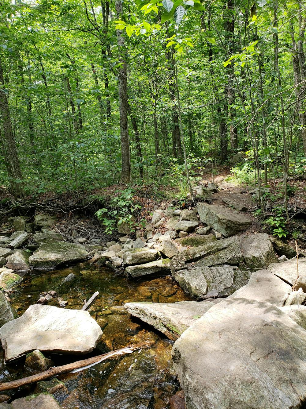
Heading north, the trail passes through more remote backcountry, winding its way through picturesque flora and fauna and reaching the intersection with Branch Pond Trail.
At the intersection with Stratton Arlington, you will be at the northern terminus for the segment. A few alternative parking areas lie along the road should the lot be full.
Sources: https://hikeandcycle.com/the-long-trail-5-things-to-know-when-planning-your-hike/ https://en.wikipedia.org/wiki/LongTrail http://www.happyvermont.com/2014/10/23/glastenbury-ghost-town/ https://sectionhiker.com/how-to-hike-vermonts-long-trail/
Difficult
Hiking trails where obstacles such as rocks or roots are prevalent. Some obstacles can require care to step over or around. At times, the trail can be worn and eroded. The grade of the trail is generally quite steep, and can often lead to strenuous hiking.

Some trail sections have exposed ledges or steep ascents/descents where falling could cause serious injury.
Little chance of being seen or helped in case of an accident.
4.9 km away
The AT transitions from the Berkshires of Massachusetts to the Green Mountains of Vermont.
Difficult Hiking
4.9 km away
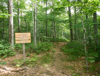
A common approach to the southern terminus of Vermont's Long Trail.
Moderate Hiking

58 routes · Hiking
9 routes · Hiking