
58 routes · Hiking
The AT traverses the largest state forest to the highest summit in Massachusetts.
Hiking Difficult

This segment begins at US-20, paralleling the Massachusetts Turnpike to the north. A pull-off parking area lies just up the road.
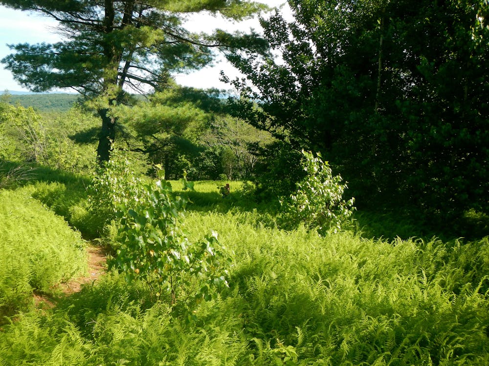
Crossing under a few power lines, the trail begins its traverse through October Mountain State Forest, the largest in the state.
Heading north, the trail summits Becket Mountain, skirts around Finerty Pond, then summits Bald Top, offering expansive views from its summit above 2,000 feet. Throughout the area, opportunities for shorter or longer loops are abundant as the AT passes several other trails.
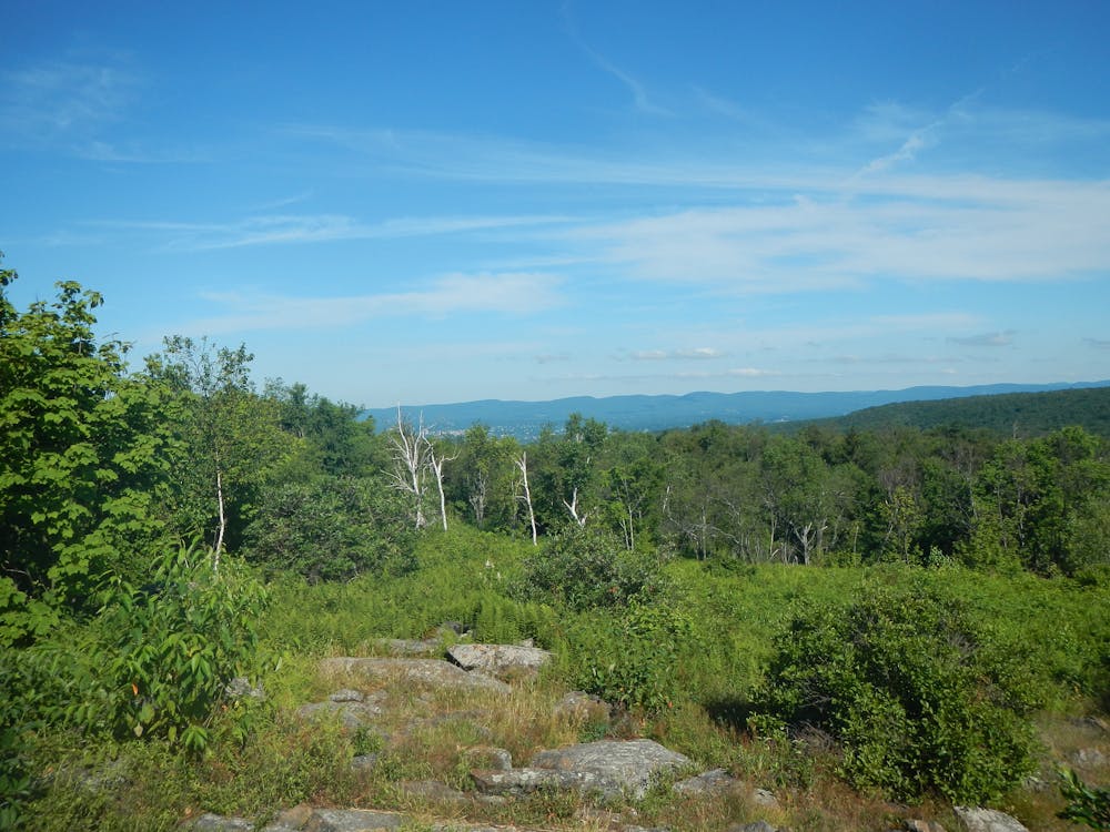
Crossing Washington Mountain Road and Pittsfield Road, the trail climbs to Warner Hill and Tully Mountain, with a shelter lying just south of Grange Hall Road. Day Mountain Wildlife Management Area lies ahead, separating you from Dalton.
Both Dalton and Cheshire, the next towns north on the trail, are often used as resupply points or as trailheads for shorter hikes. Rich with history, both are known for their hospitality and food.
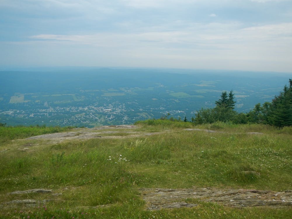
Nine miles lie between the two towns before the trail makes its way to the iconic Mount Greylock, the highest point in the state. The summit is known for its commanding views of the five surrounding states and unique flora and fauna rare to the region. For those looking for other route options, a network of trails line the mountain, and the summit can be accessed seasonably by vehicle should you be looking for a short hike.
Just north along the same ridge, the trail traverses Mount Fitch and Mount Williams before a short descent to a trailhead on Notch Road. No dominant viewpoints lie along the stretch, but the unique taiga-boreal found in the area provides views of its own along the way.
Adjacent to the trailhead, you will find a small shelter and a spur trail leading to Mount Prospect. Combined with the Money Brook Trail, Mount Prospect Trail can create an excellent loop—perfect for hiking or trail running.
Descending the mountain, the trail makes its way towards MA-2, halfway between Williamstown and North Adams. Though no developed trailhead exists, the footbridge across the Hoosic River typically serves as the reference point for the end of this segment.
Sources: https://en.wikipedia.org/wiki/MountFitch(Massachusetts) https://en.wikipedia.org/wiki/OctoberMountainStateForest https://appalachiantrail.com/20131228/dalton-massachusetts-appalachian-trail-runs/ https://en.wikipedia.org/wiki/MountGreylock
Difficult
Hiking trails where obstacles such as rocks or roots are prevalent. Some obstacles can require care to step over or around. At times, the trail can be worn and eroded. The grade of the trail is generally quite steep, and can often lead to strenuous hiking.

The trail contains some obstacles such as outcroppings and rock which could cause injury.
Away from help but easily accessed.
58 routes · Hiking