3.2 km away
Mill Ridge Trail
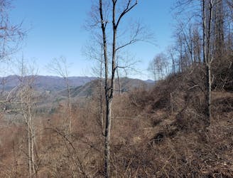
An easy family-friendly hike loaded with views.
Easy Hiking
- Distance
- 6.5 km
- Ascent
- 147 m
- Descent
- 147 m
An AT segment with a ridgeline traverse, bald summits, and extensive history.
Hiking Difficult

This section of the Appalachian Trail is rich with history and stunning views. Bald summits, craggy formations, survey markers, and even graves are prevalent along this stretch.
Two major road crossings, Tanyard Gap and Allen Gap, make this a popular segment to section hike, as it can be easily shuttled and completed over a couple of days.
A handful of shelters and camping areas line this portion, not to mention the countless camping and lodging opportunities in the city of Hot Springs.
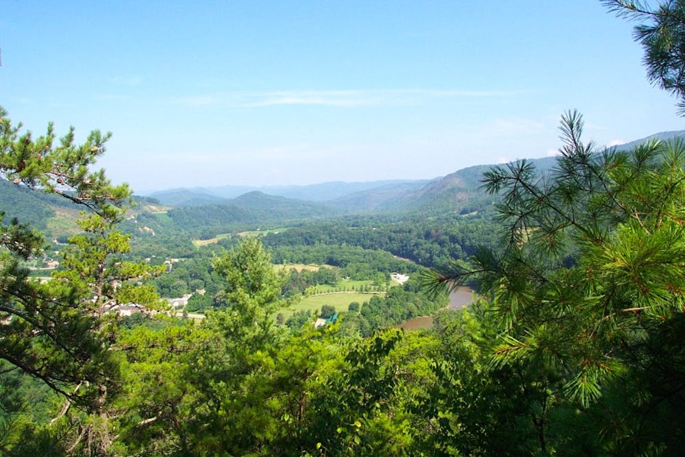
According to Wikipedia, the natural hot spring the town is named for is the only one of its kind in North Carolina, and in most of the southeastern United States. The Native Americans who originally occupied the area knew the spring to have natural healing properties, a belief that draws in countless tourists every year.
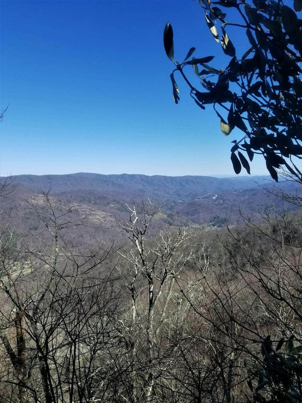
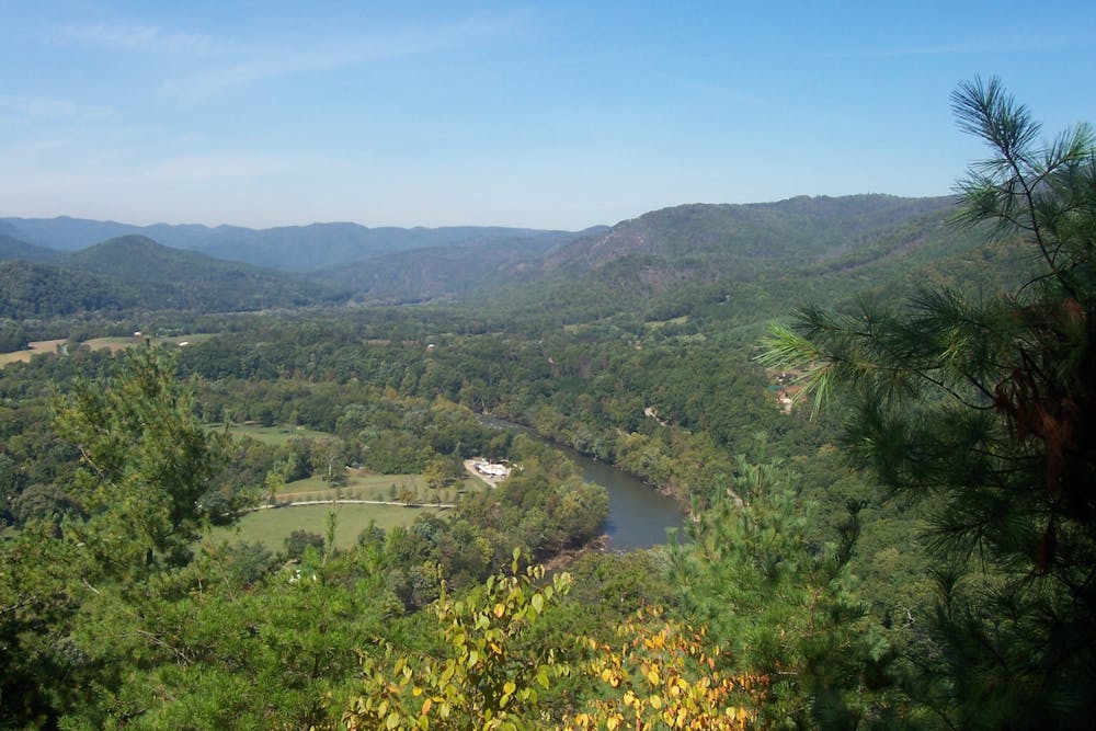
To access the trailhead, follow the white blazes through town along Bridge Street. A steep climb will first take you to Lover's Leap, a popular overlook for those looking for a short hike. Enjoy the perspective from this vantage point above the French Broad River.
Tanyard Gap is the first major road crossing, via a bridge above NC25/70. Continuing north will lead you near the summit of Spring Mountain and eventually to Allen Gap.
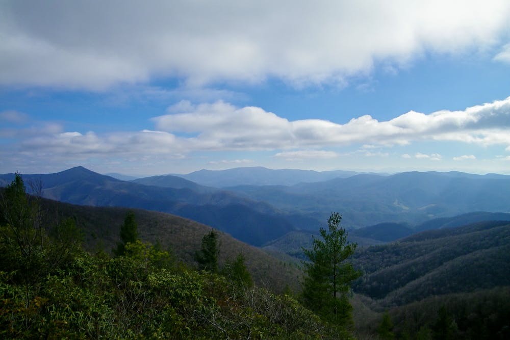
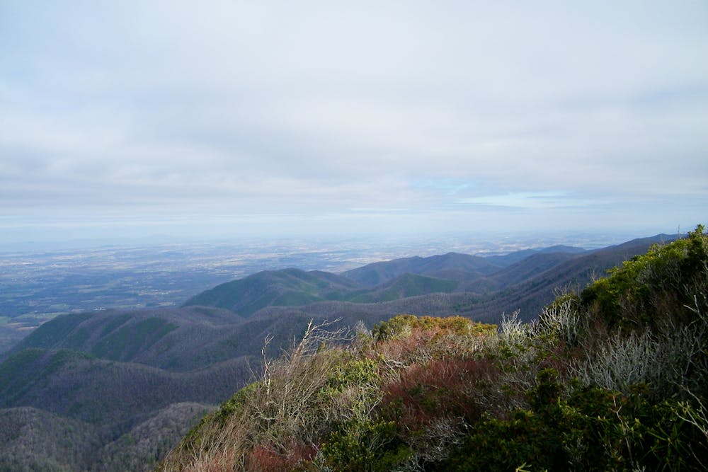
From here, enjoy the southern Appalachian flora as you ascend towards Camp Creek Bald. Shortly after, you are faced with two options: an exposed ridgeline trail, or an alternate route. While technically both are part of the Appalachian Trail, the official route for most is to ascend the ridgeline trail to Big Firescald Knob. The panoramic views along this portion highlight the beauty of the Blue Ridge Mountains.
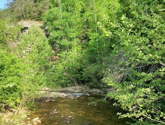
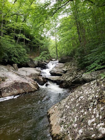
Descending from the mountain, the trail continues to traverse through a series of bald summits and picturesque meadows. Fresh springs are prevalent along this stretch, but many are seasonal and have the potential to be dry.
Continuing into Cherokee National Forest, the trail leads to Lick Rock, then High Rock, where a short spur leads to one final overlook before the descent to Sam's Gap.
Sources: https://en.wikipedia.org/wiki/HotSprings,NorthCarolina https://sticksblog.com/2016/09/12/september-2016-at-section-hike-sams-gap-to-hot-springs-other-things-in-between/ https://www.exploreasheville.com/stories/post/lovers-leap-loop-trail/
Difficult
Hiking trails where obstacles such as rocks or roots are prevalent. Some obstacles can require care to step over or around. At times, the trail can be worn and eroded. The grade of the trail is generally quite steep, and can often lead to strenuous hiking.

The trail contains some obstacles such as outcroppings and rock which could cause injury.
Away from help but easily accessed.
3.2 km away
An easy family-friendly hike loaded with views.
Easy Hiking
9 km away
A steep, remote loop not far from Hot Springs with plenty of views and river access.
Difficult Hiking

58 routes · Hiking
8 routes · Hiking · Trail Running