9 km away
Appalachian Trail: Hot Springs to Sam's Gap
An AT segment with a ridgeline traverse, bald summits, and extensive history.
Difficult Hiking
- Distance
- 69 km
- Ascent
- 3.7 km
- Descent
- 3 km
A steep, remote loop not far from Hot Springs with plenty of views and river access.
Hiking Difficult

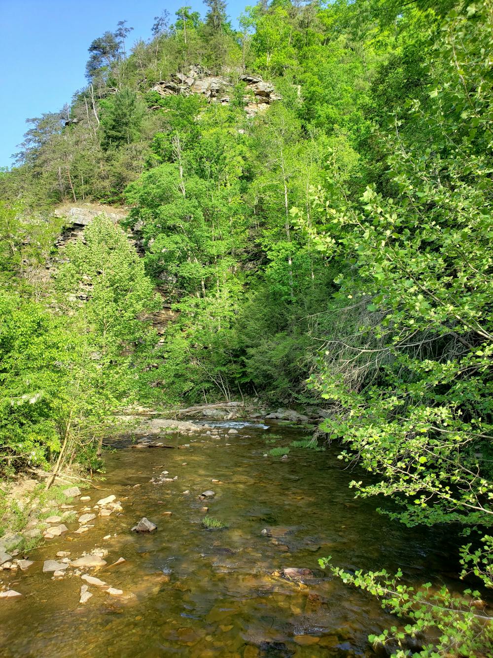
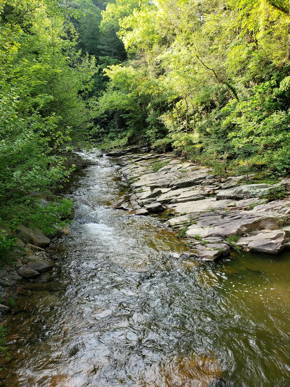
This remote and rugged loop connects the French Broad River to remote and isolated views that are seldom visited. On a hot summer day, the river near the trailhead is an excellent place to cool off.
Nearby Hot Springs is a phenomenal outdoor destination, with a mixture of world-class kayaking, rugged mountain bike trails, and the 2,200-mile-long Appalachian Trail that follows Main Street through town. According to Wikipedia, the natural hot spring the town is named for is the only one of its kind in North Carolina, and in most of the southeastern United States. The Native Americans who originally occupied the area knew the spring to have natural healing properties, a belief that draws in countless tourists every year.
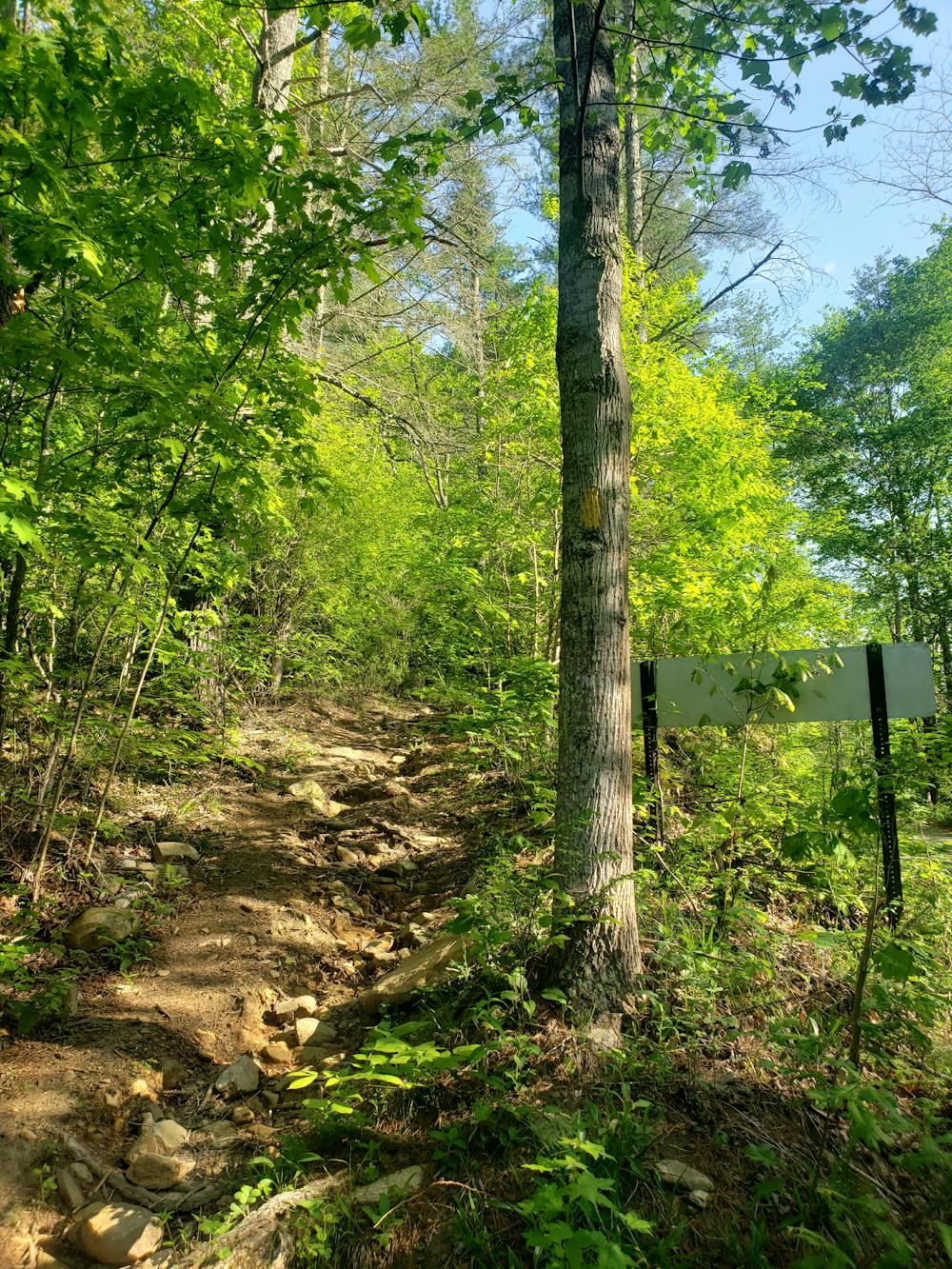
The trailhead, located about 20 minutes from downtown, is quite small and easy to miss. There is parking for only a few cars, though a handful of pull offs on the road allow for additional parking. After heavy rain, know that the road may close due to flooding, as it lies right on the bank of the French Broad River.
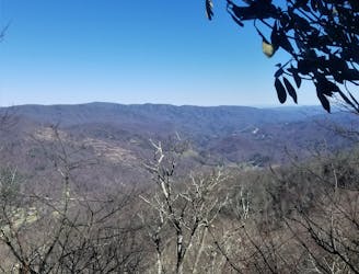
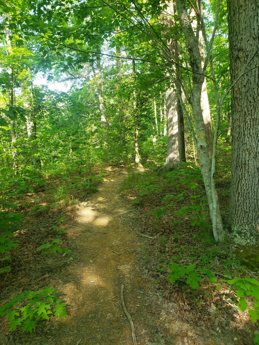
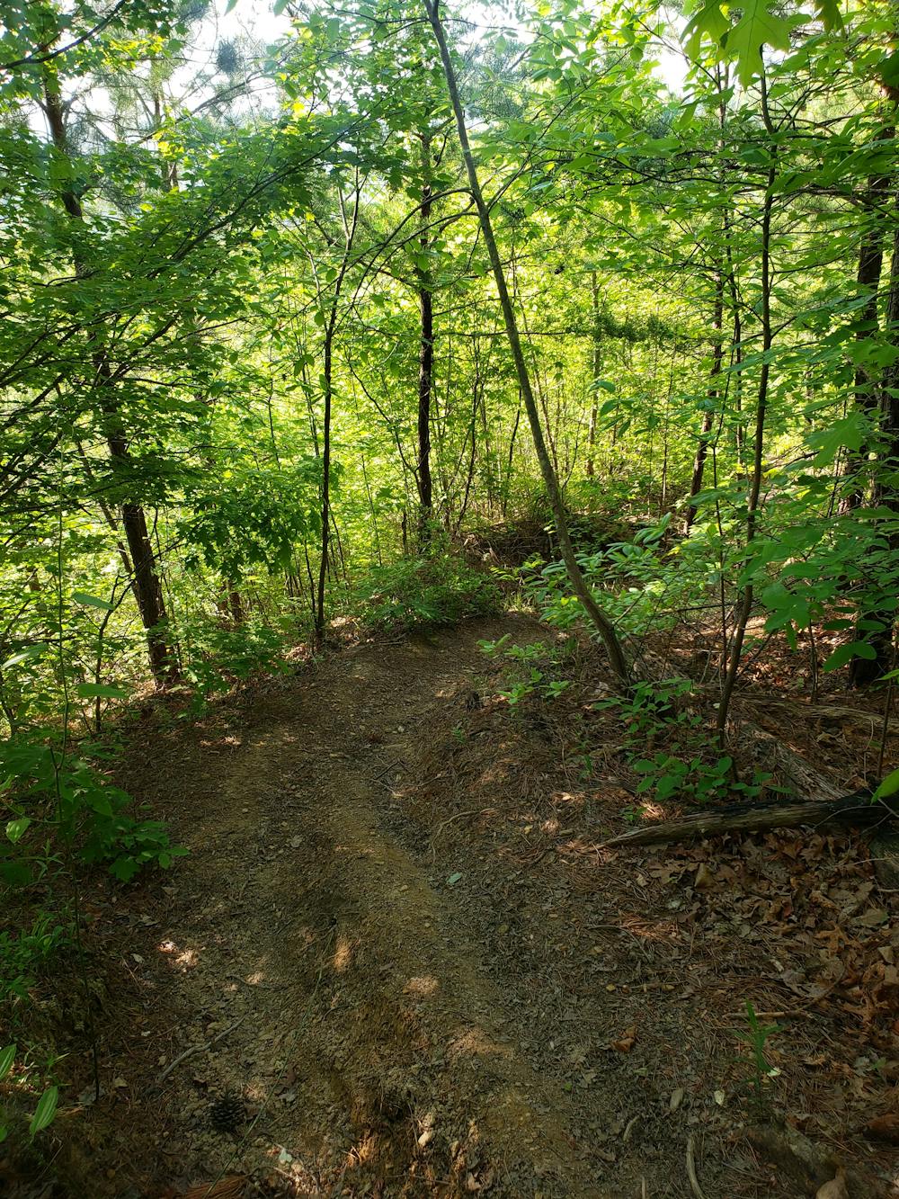
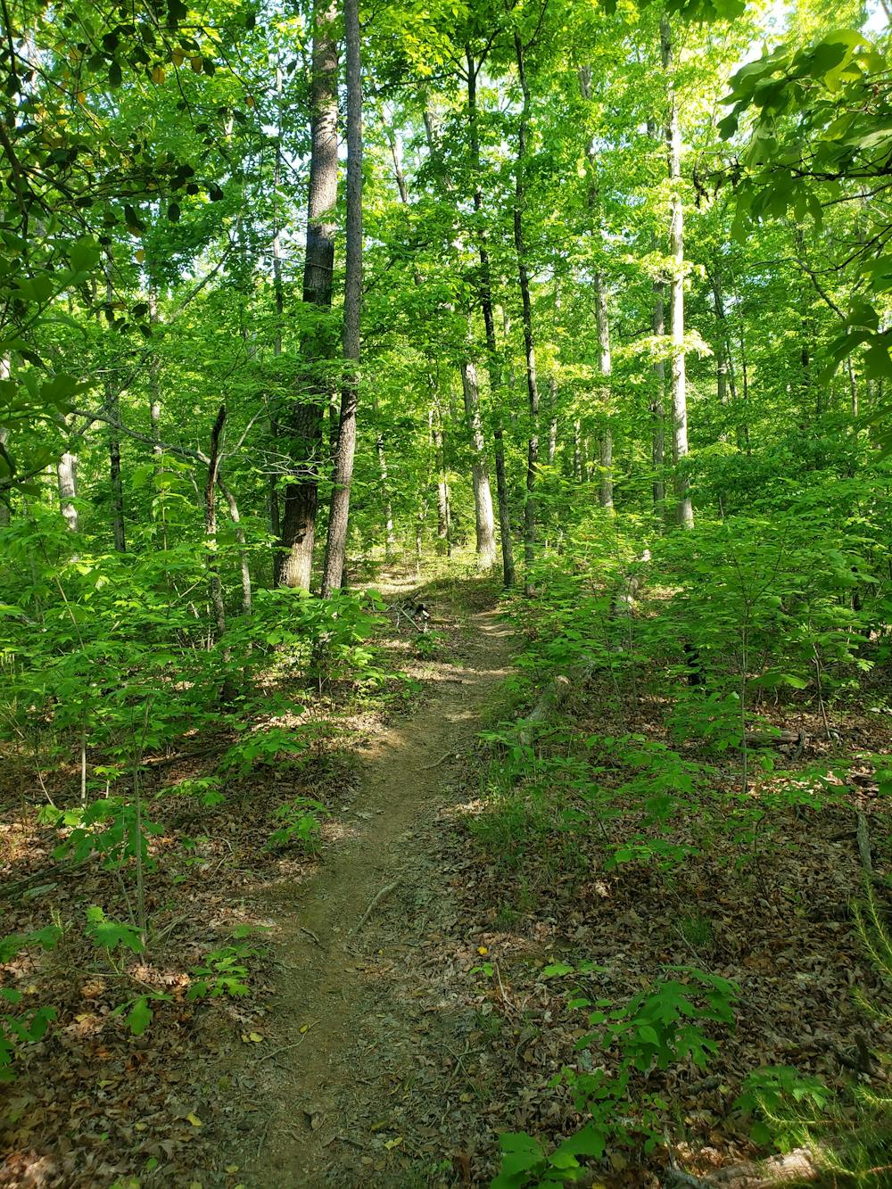
This loop begins with a steep climb up Paint Rock Trail (#154A). The trail begins about 100 feet up Paint Mountain Road from the bridge. Known as one of the best downhill mountain bike trails in the area, you may notice several small ramps and a log "skinny" as you climb up. Atop the ridge, you'll be rewarded with a beautiful view of the French Broad below. Many opt for a short out-and-back to this overlook.
Continuing the route, you are faced with a loop that can be completed in either direction. Both Chimney Rocks (#154) and Paint Mountain Trail (#7) connect the high ridge to Weavers Bend Road. Chimney Rocks provides some exceptional views along the way and leads past a picturesque railroad bridge that crosses a bend in the river. Either way you choose to hike the loop, know that what elevation you descend, you will have to climb later.
There are no defined campsites along this route, but there are still a few opportunities to spend the night. The dense forest makes hammock camping an excellent option as well. Despite following the river, fresh water is limited and should always be filtered. Plan to carry all of your water in the summer months.
Be wary of wildlife, specifically bears and snakes, and know that poison ivy can be prevalent in the spring and summer months.
Sources: https://www.hotspringsnc.org/hiking-2/ https://en.wikipedia.org/wiki/HotSprings,NorthCarolina
Difficult
Hiking trails where obstacles such as rocks or roots are prevalent. Some obstacles can require care to step over or around. At times, the trail can be worn and eroded. The grade of the trail is generally quite steep, and can often lead to strenuous hiking.

The trail contains some obstacles such as outcroppings and rock which could cause injury.

Little chance of being seen or helped in case of an accident.
9 km away
An AT segment with a ridgeline traverse, bald summits, and extensive history.
Difficult Hiking

58 routes · Hiking