
58 routes · Hiking
The trek from the iconic trail town of Damascus to Mount Rogers and the Grayson Highlands
Hiking Difficult

Damascus, arguably one of the most iconic and recognized trail towns along the Appalachian Trail, serves as the southern terminus for this segment. Most thru-hikers will choose to spend a day or two exploring town and taking a break from the trail. Every spring, the Annual Trail Days Festival occurs. Camping, music, expos, and countless activities fill the weekend and bring together all types of outdoor enthusiasts.
The first half of this segment parallels the Virginia Creeper Trail as it taunts you from the valley below. Naturally, the Appalachian Trail takes the most challenging and demanding route through this corridor, as the Virginia Creeper remains relatively steady. A few intersections and spurs to the VCT can form loops and shorter day hikes.
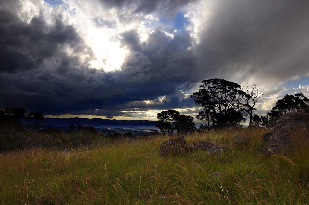
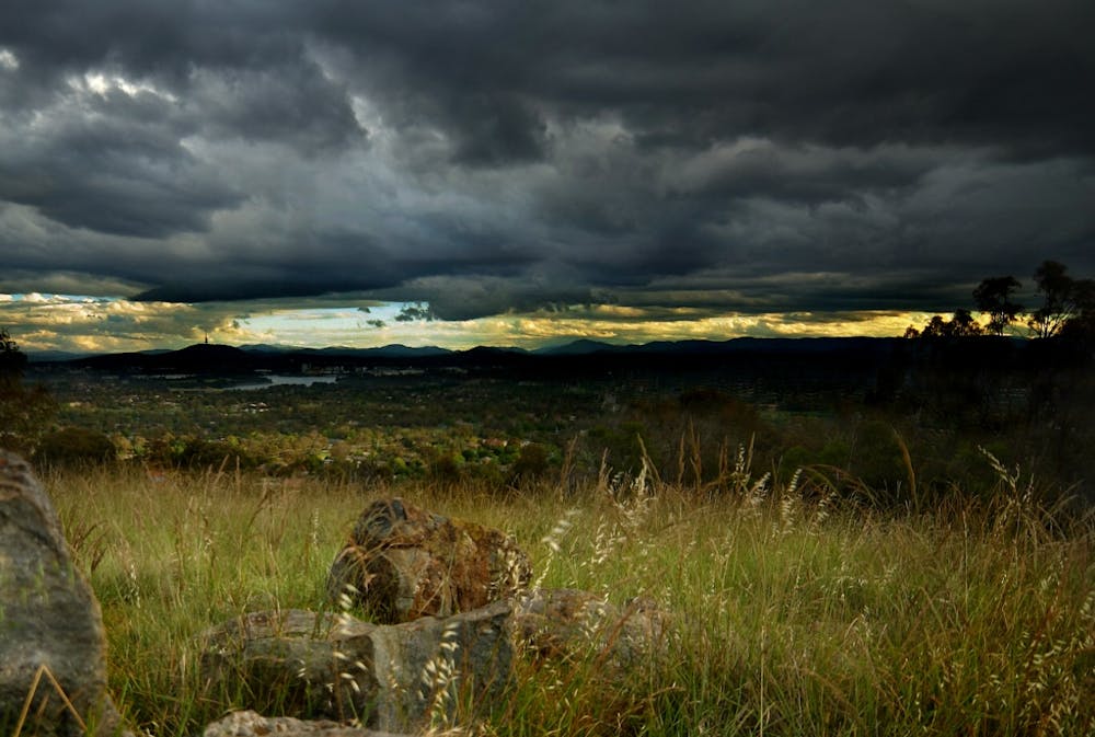
No significant overlooks or mountains lie in this stretch, but a series of high points and ridgeline traverses still give way to good picturesque views.
The highlights of this segment come after crossing Jeb Stuart Highway and Beech Mountain Road. From here, you'll begin the climb to Whitetop Mountain.
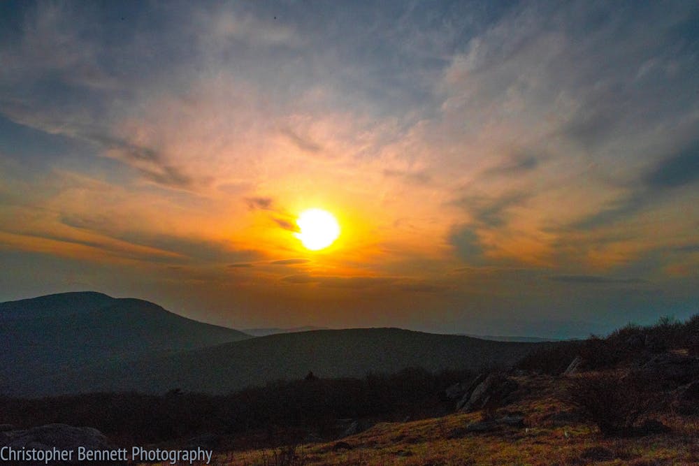
As the AT climbs its way to the top, an adjacent road switchbacks its way up to a parking lot near the summit. For those looking for a shorter hike, the clearing atop the mountain offers countless panoramic views from the third highest peak in Virginia.
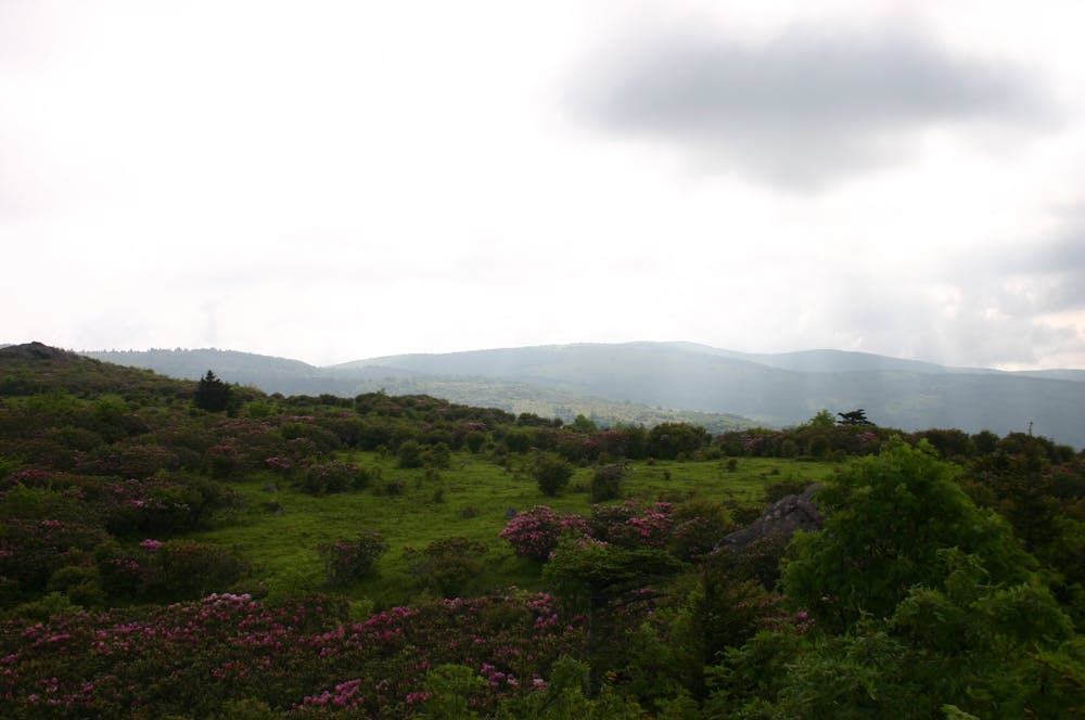
According to Wikipedia, this region "...represents an ecological 'island' of flora and fauna commonly found much farther north than Virginia, such as old growth red spruce and other northern softwoods."
After a brief descent (if heading northbound), the trail climbs to Mount Rogers, Virginia's highest natural point. A blue-blazed trail leads to the summit and a shelter lies just north along the AT. This area is home to the northernmost spruce-fir forest, a unique ecosystem only found in a few places in the southern Appalachian Mountains.
Mount Rogers National Recreation Area is also home to multiple herds of wild ponies that roam throughout the region. It is very common, and somewhat expected, that you will encounter at least a few throughout this section. They are left relatively unattended and are often chosen as subjects for photographers, making this stretch extremely popular for day hikers.
After enjoying the views, the white-blazed AT continues into Grayson Highlands State Park, the northern terminus for this stretch. For a shorter hike to Mount Rogers, this is where most start. A couple of parking areas adjacent to the trail are the nearest place to rendezvous with a vehicle.
Sources: https://thetrek.co/appalachian-trail/virginia-3/ http://traildays.us/index.php?id=1 https://en.wikipedia.org/wiki/MountRogers https://en.wikipedia.org/wiki/WhitetopMountain
Difficult
Hiking trails where obstacles such as rocks or roots are prevalent. Some obstacles can require care to step over or around. At times, the trail can be worn and eroded. The grade of the trail is generally quite steep, and can often lead to strenuous hiking.

The trail contains some obstacles such as outcroppings and rock which could cause injury.

Close to help in case of emergency.
58 routes · Hiking