
58 routes · Hiking
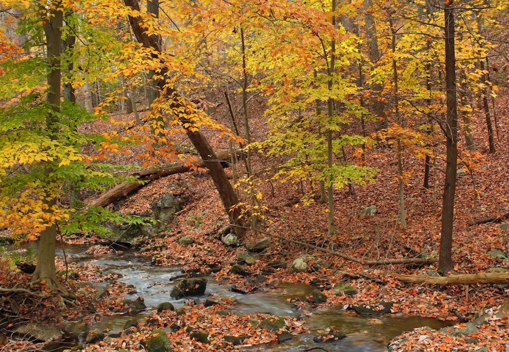
The beginning of Rocksylvania passing through Michaux State Forest.
Hiking Difficult

Arguably the toughest state on the Appalachian Trail, Pennsylvania is where shoes go to die. If you think that it gets easier the longer you're on the trail, this stretch will quickly put you in your place. Most thru-hikers plan to exhaust at least one pair of shoes/boots before leaving the state.
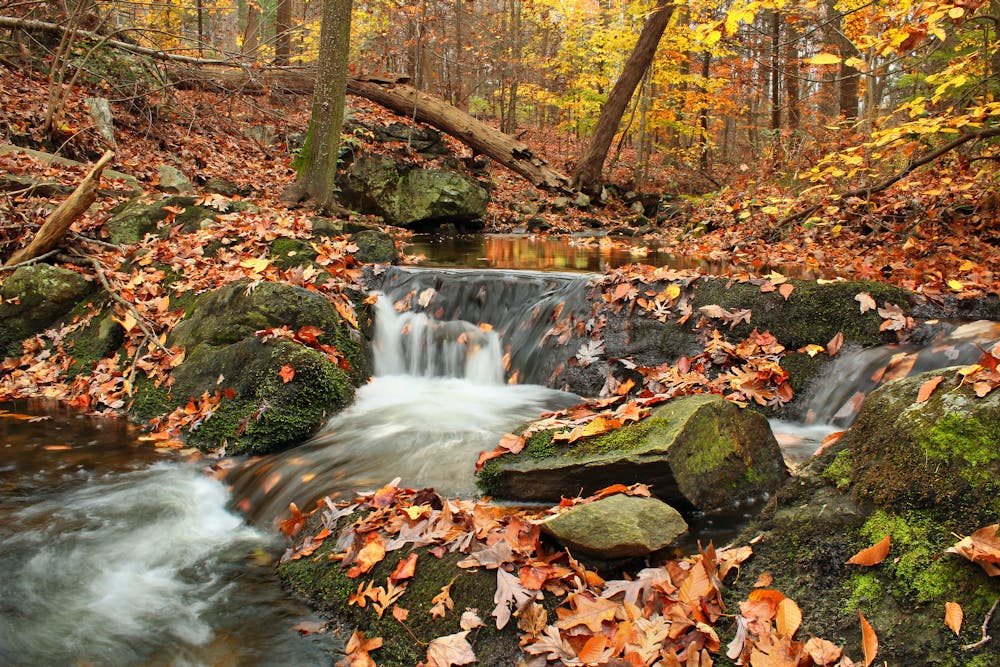
This introduction to Pennsylvania is almost entirely within the boundary of Michaux State Forest, though it skirts through and around Caledonia State Park and other wild areas. Also known for its world-class mountain biking, this region serves as a popular destination for all outdoor adventurers. The extensive trail network also provides limitless ways to form shorter and longer loops.
Using US-30 (Lincoln Way), this segment can be divided into two separate pieces. The midpoint is located just 30 minutes from Gettysburg and even closer to Chambersburg. Thru-hikers often make their way into town to resupply and explore the extensive history of the area.
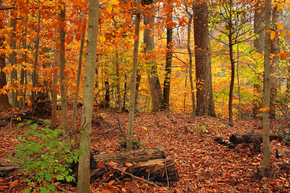
Along this segment, expect to encounter countless overlooks as well as unique rock formations along the flat top ridges. Much of the region's history has been preserved, including many of the original property boundaries defined by hand-built rock "walls". The unique craggy rock formations south of US-30 are also a great place for a shorter day hike. After a short and moderate climb, you can traverse the ridge south to Pivot Rock and other nearby formations.
Shelters and water resupply points line this portion as with most segments of the AT. Countless other camping opportunities are available as well, should you be planning an overnight trip.
Difficult
Hiking trails where obstacles such as rocks or roots are prevalent. Some obstacles can require care to step over or around. At times, the trail can be worn and eroded. The grade of the trail is generally quite steep, and can often lead to strenuous hiking.

The trail contains some obstacles such as outcroppings and rock which could cause injury.
Away from help but easily accessed.
58 routes · Hiking