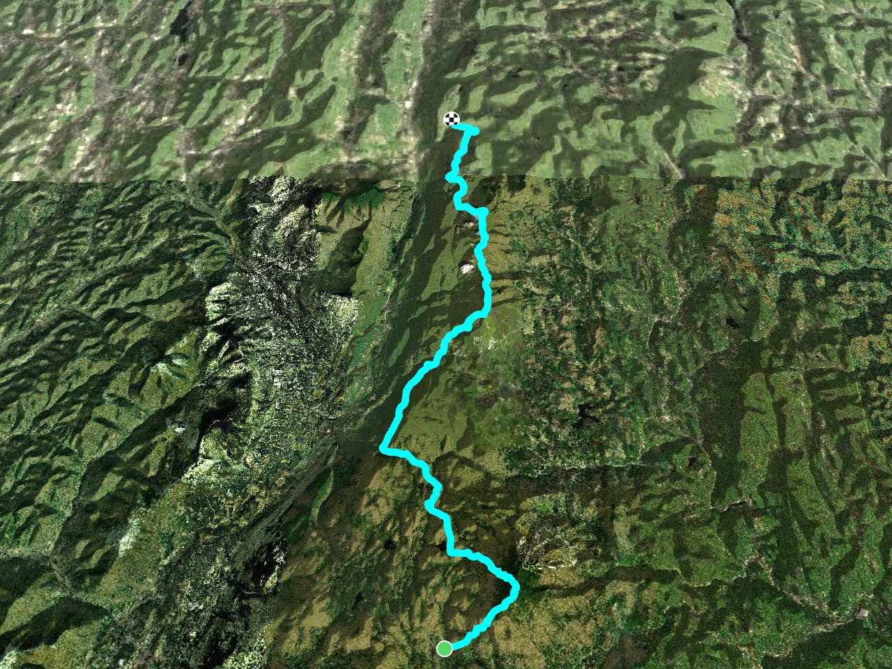
Long Trail: Stratton Pond to Big Branch
A remote stretch of Vermont's Long Trail known for its summit of Stratton Mountain and Peru Peak.
Difficult Hiking
- Distance
- 52 km
- Ascent
- 2 km
- Descent
- 2.2 km
A remote Vermont stretch of the AT known for its summit of Stratton Mountain and Peru Peak.
Hiking Difficult
Begin this segment of the Appalachian Trail at the Stratton Pond Parking area along Stratton Arlington Road, accessed from VT-100. Should the parking area be full, a few other opportunities lie east on the road.
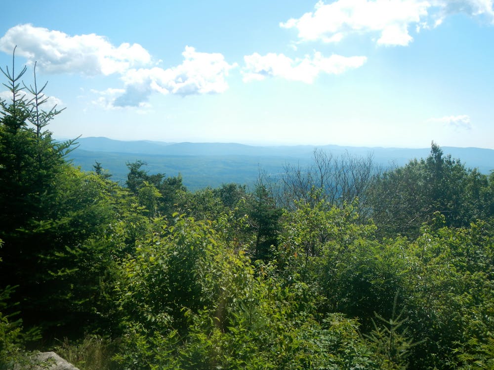
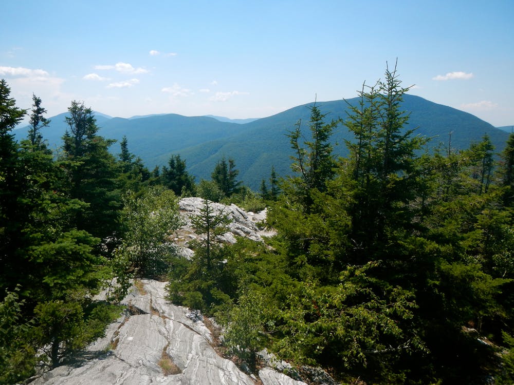
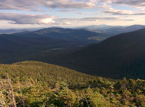
The first stop for the trail is 3,900-foot Stratton Mountain, considered the highest point in the southern Green Mountains. A fire tower built by the CCC in 1934 is located on the summit. Enjoy its commanding 360-degree views from the deck before heading north on the AT.
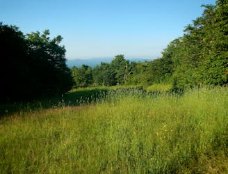
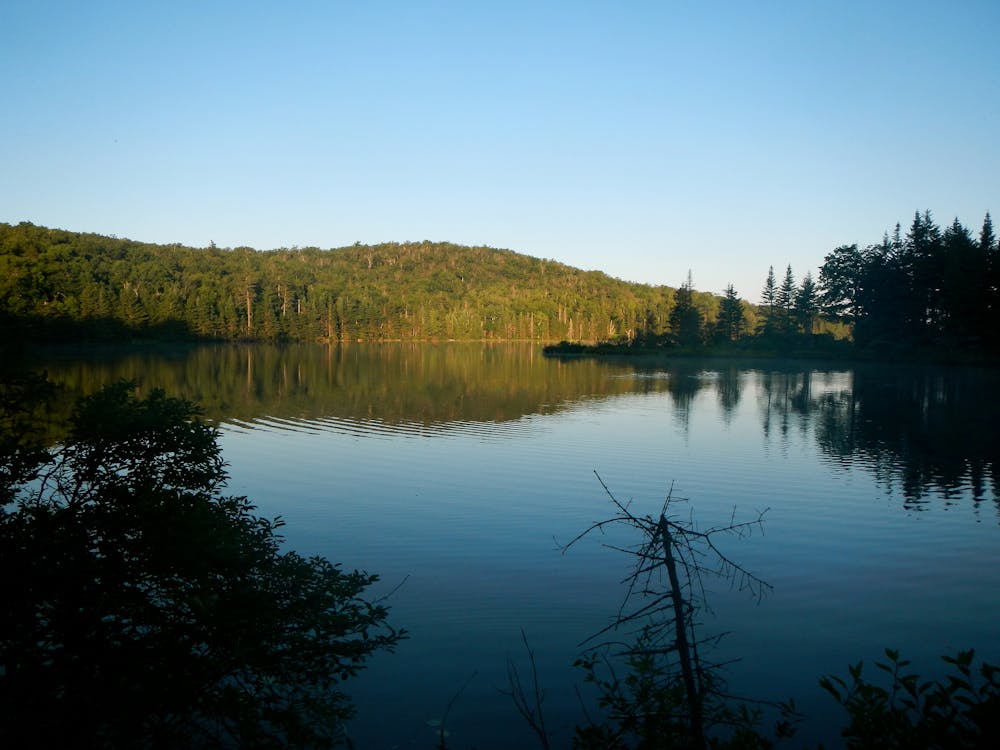
After a short traverse northwest, the trail reaches Stratton Pond, a popular destination for hikers. Pair the AT with the Stratton Pond Trail for an excellent hiking, running, or overnight loop. A shelter along the eastern shore is a popular option to spend the night.
As a note, the USFS lists the following notice on their website: "Stratton Pond is the largest body of water on the Long Trail, and the most heavily used location on the Appalachian Trail in Vermont. As a result of this heavy use, the potential for impact on the shoreline and the pond’s ecosystem is serious. Camping is restricted to the designated sites only. Please practice Leave No Trace ethics, such as carry-out/carry- in."
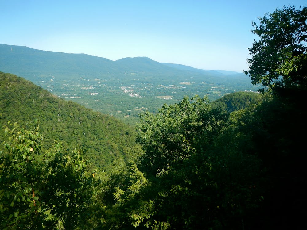
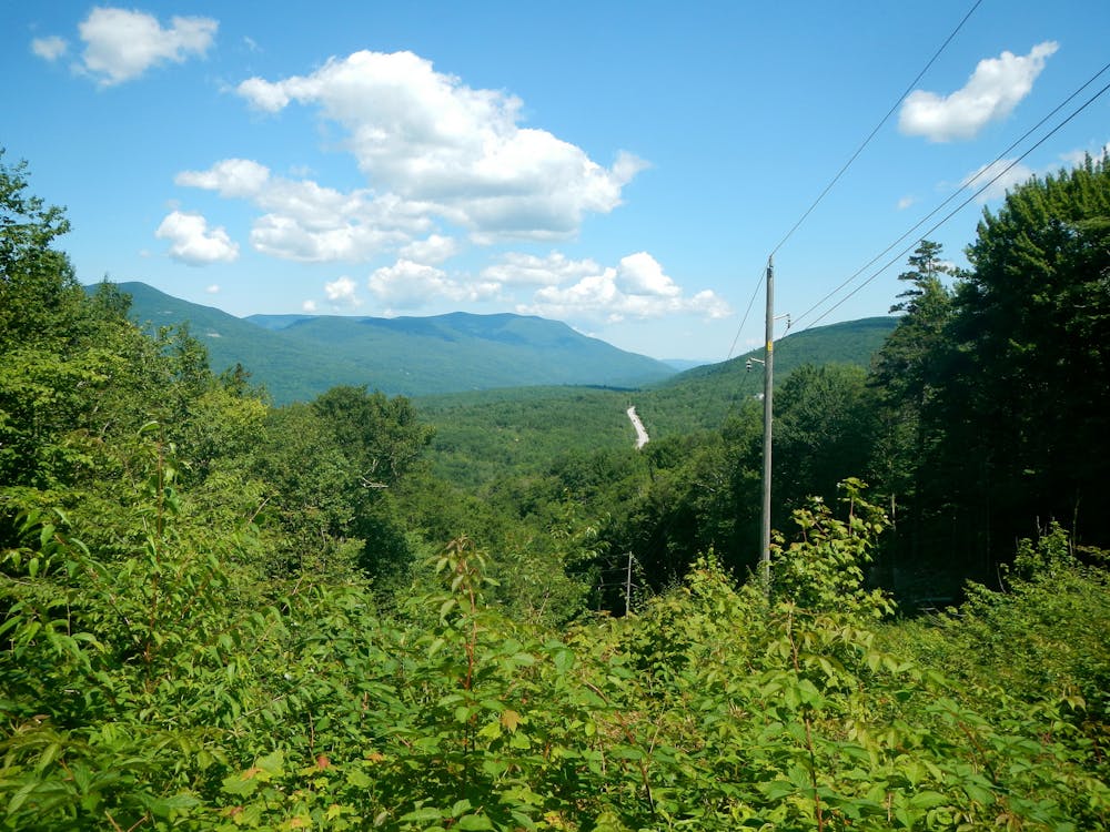
Heading north, the AT passes over Prospect Rock and Spruce Peak on its way to VT-11. From the summits, enjoy the picturesque vantage points of Manchester Valley to the west.
At VT-11, a parking area lies on the north side of the road and provides access to Manchester, should you need to head into town for a resupply.
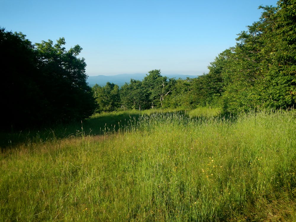
Heading north, the trail crosses over the top of Bromley Mountain. A larger clearing near the top of the lift makes for plenty of views. Further north, you'll pass over Mad Tom Notch Road before entering the heart of Peru Peak Wilderness.
Expect limited trail markings and blazes in this area, but enjoy the countless views from the summits of Styles Peak and Peru Peak, both hovering around 3,400 feet. Arguably, Styles Peak gives the best view should you be hiking an out-and-back from the road.
Peru Peak transitions into Big Branch Wilderness as the countless views continue. This area is also home to a particularly diverse ecosystem, popular with hunters in the fall.
To round out the portion of this segment, the trail crosses over Big Branch, offering an opportunity to cool off before reaching the northern terminus along Brooklyn Road.
Sources: https://www.fs.usda.gov/wps/portal/fsinternet/cs/recarea?ss=110920&navtype=BROWSEBYSUBJECT&cid=FSE003738&navid=110240000000000&pnavid=110000000000000&recid=64979&actid=50&ttype=recarea&pname=Prospect%20Rock%20Trail https://www.fs.usda.gov/wps/portal/fsinternet/cs/recarea?ss=110920&navtype=BROWSEBYSUBJECT&cid=FSE003738&navid=110240000000000&pnavid=110000000000000&recid=64985&actid=34&ttype=recarea&pname=Stratton%20Pond%20Trail https://en.wikipedia.org/wiki/StrattonMountain(Vermont)
Difficult
Hiking trails where obstacles such as rocks or roots are prevalent. Some obstacles can require care to step over or around. At times, the trail can be worn and eroded. The grade of the trail is generally quite steep, and can often lead to strenuous hiking.

The trail contains some obstacles such as outcroppings and rock which could cause injury.

Little chance of being seen or helped in case of an accident.
A remote stretch of Vermont's Long Trail known for its summit of Stratton Mountain and Peru Peak.
Difficult Hiking

58 routes · Hiking
9 routes · Hiking