
58 routes · Hiking
A strenuous and remote section of the AT through backcountry and Wilderness areas.
Hiking Difficult

Beginning at the small parking area at Blackhorse Gap, the trail heads northeast, paralleling the Blue Ridge Parkway to Bearwallow Gap. For those looking for a short day hike, the AT is accessible at several points through this stretch. A series of developed parking areas serve as junctions for the trail, as well as picturesque overlooks for passing vehicles. Harvey's Knob, a particularly popular overlook for birding, lies a few miles north on the trail. According to Virginia's Department of Game & Inland Fisheries:
"Later in October and into November, look for red-tailed and red-shouldered hawks, with a possibility of seeing an occasional golden eagle or northern goshawk. Non-raptor species, such as common nighthawk, tundra swan, common loon, and several species of swallow can also be seen during fall migration."
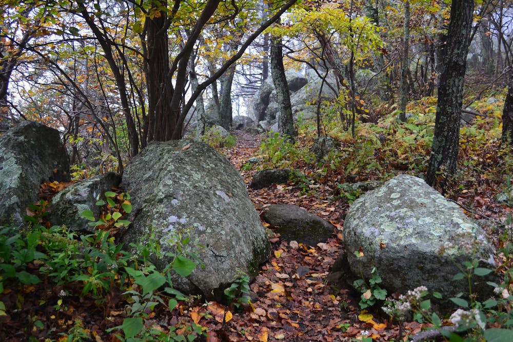
Crossing over Bearwallow Gap, the trail climbs to Cove Mountain where it traverses a long ridge. Cove Mountain Shelter lies along this stretch as well.
Passing Jennings Creek Road, another popular trailhead and access point, the AT spirals its way around a few high points as it merges back towards the Blue Ridge Parkway. Apple Orchard Falls (via a strenuous side trail) and Apple Orchard Mountain serve as popular destinations for day hikes and have been featured in multiple publications as one of the top day hikes along the AT.
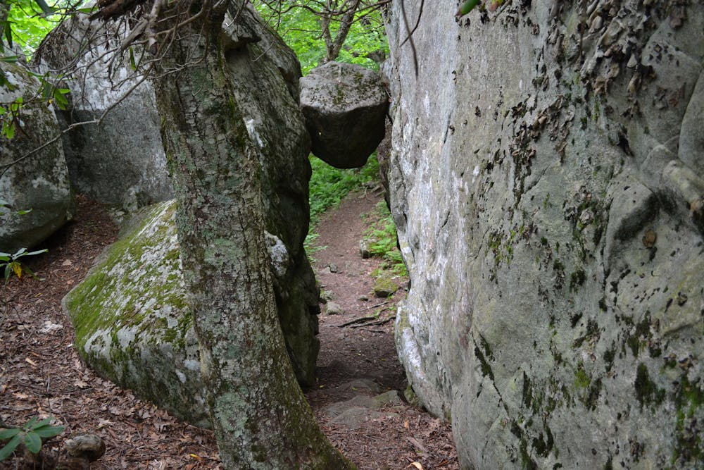
Apple Orchard Mountain, home to remnants of an old and abandoned Air Force Base, is the highest point along the northern section of trail until New Hampshire. Near the summit, you'll pass a series of unique rock formations, including the famous Guillotine where a boulder hangs suspended between two sheer rock slabs.
Two remote wilderness areas, Thunder Ridge and James River Face, lie ahead on the trail. Separated by Petites Gap, shuttling this portion is a popular option, but will require some planning. In the winter months, the Blue Ridge Parkway closes frequently.
Upon reaching the northern terminus, cross the bridge across James River and end at the small parking lot along the river.
Sources: https://www.dgif.virginia.gov/vbwt/sites/harveys-knob-overlook/ https://www.cnyhiking.com/AT-Apple%20Orchard%20Mtn.htm
Difficult
Hiking trails where obstacles such as rocks or roots are prevalent. Some obstacles can require care to step over or around. At times, the trail can be worn and eroded. The grade of the trail is generally quite steep, and can often lead to strenuous hiking.

The trail contains some obstacles such as outcroppings and rock which could cause injury.

Little chance of being seen or helped in case of an accident.
58 routes · Hiking