
58 routes · Hiking
Crossing the one-quarter mark of the roughly 2,200-mile-long AT.
Hiking Moderate

Heading north out of Atkins, VA, pass under Interstate 81 and look for the trail to the right after the service road. The trail winds through a few fields before entering back into the "green tunnel."
For thru-hikers, Atkins is a key resupply point and easily-accessible from the interstate. With few landmarks in proximity to the southern terminus of this segment, it isn't particularly popular for day hiking ventures.
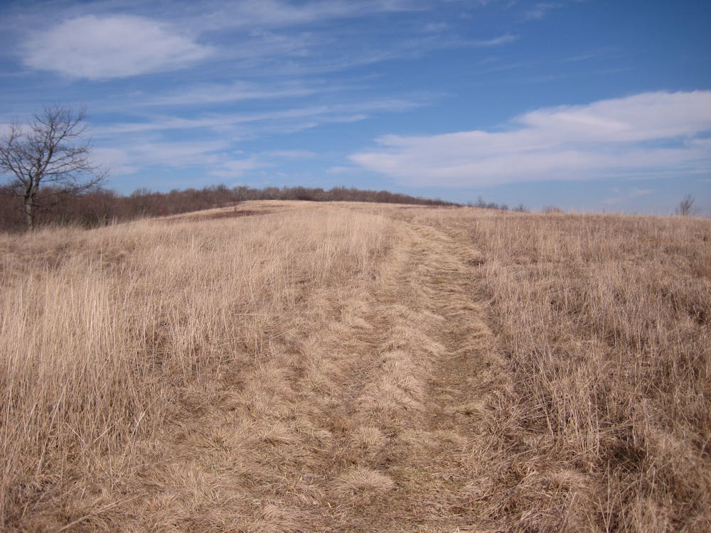
Roughly 10 miles into this segment, you'll pass the official one-quarter mark of the nearly 2,200-mile-long AT. An official placard is nailed to a tree to honor the benchmark.
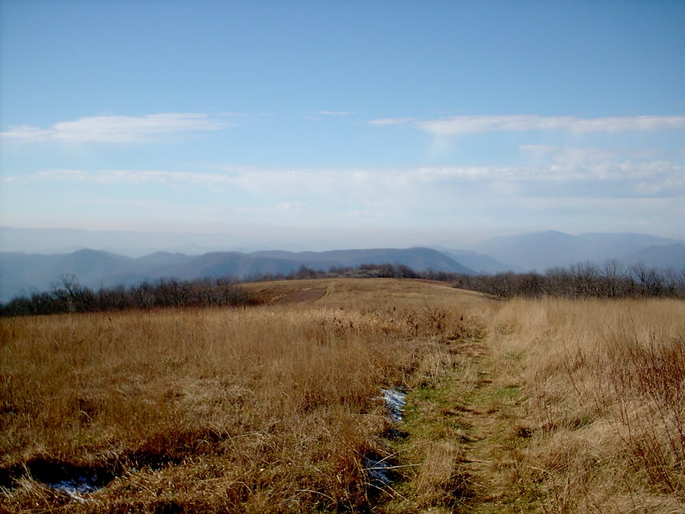
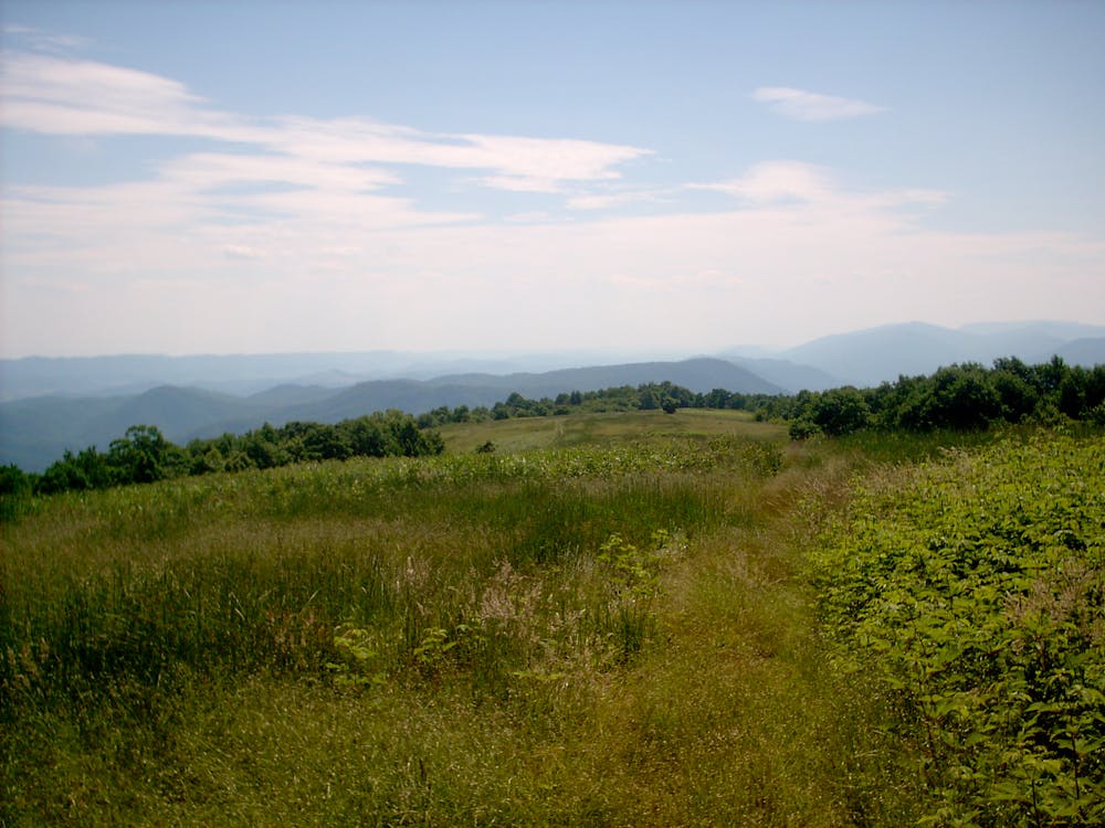
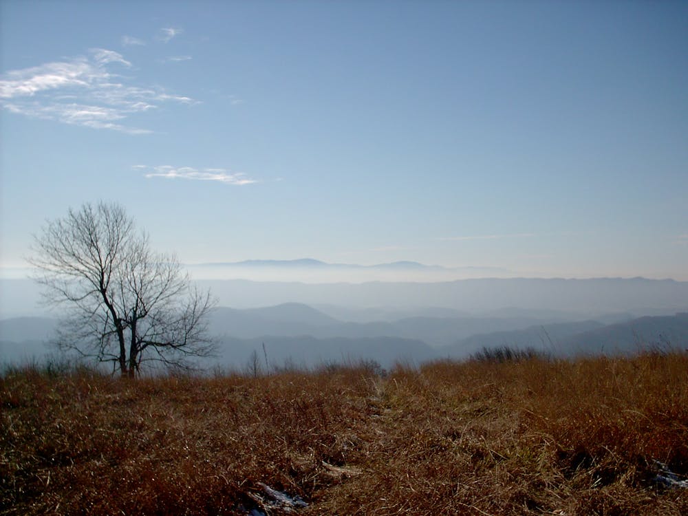
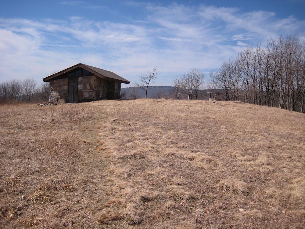
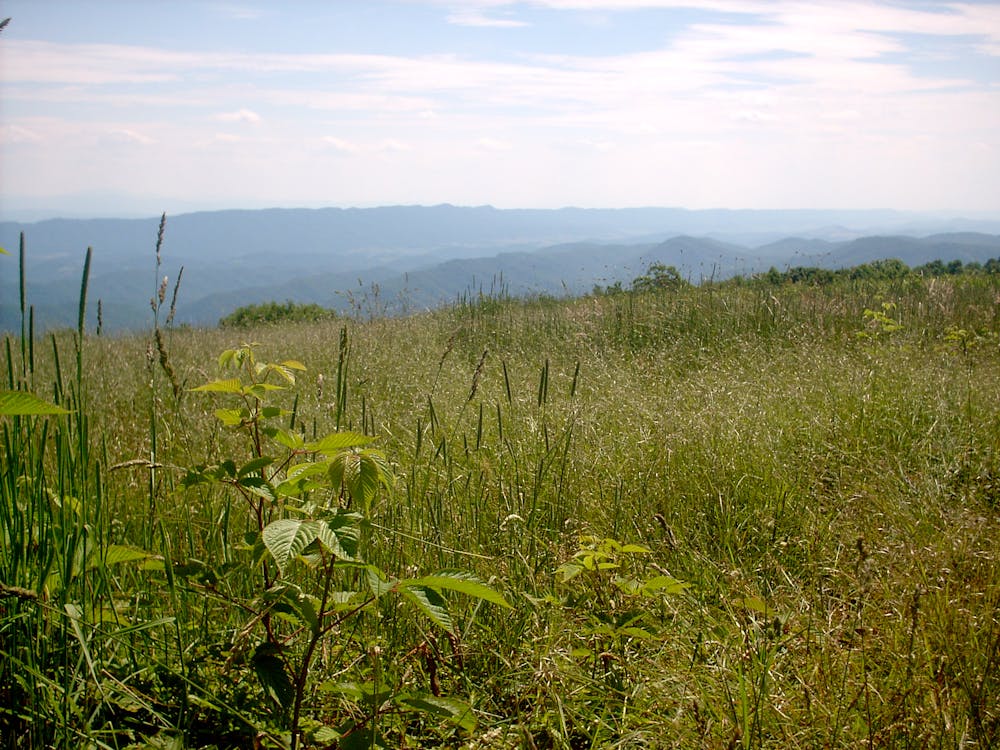
After crossing VA-625, a steep climb lies ahead as the trail climbs to Chestnut Ridge, one of the only day hiking options for this segment. The ridge provides countless vistas, making it the highlight of the segment.
After passing Chestnut Knob Shelter then heading through Walker Gap, the trail maintains a path along a ridgeline. After crossing a valley and traveling an adjacent ridge, you'll reach the northern terminus of this section at Interstate 77, sometimes referenced as VA-162.
A handful of water sources lie along this portion of the white-blazed AT, but there is no notable resupply point along the way.
Sources: http://homemadewanderlust.com/at-update-11-atkins-va-to-pearisburg-va/ http://www.wikitrail.org/features/view/at/25155/knot-maul-branch-shelter
Moderate
Hiking along trails with some uneven terrain and small hills. Small rocks and roots may be present.

The trail contains some obstacles such as outcroppings and rock which could cause injury.
Away from help but easily accessed.
58 routes · Hiking