2.8 km away
White Rocks -> Hazel Falls Loop
A beginner-friendly overnight loop with a beautiful waterfall and small cave.
Moderate Hiking
- Distance
- 14 km
- Ascent
- 682 m
- Descent
- 682 m
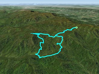
This section of the Appalachian Trail crosses over Hogback Mountain, the Marshalls, and then heads through Trumbo Hollow.
Hiking Difficult

Rounding out the last third of Shenandoah National Park, the Appalachian Trail still has plenty to offer. Beginning at the Thorton Gap Visitor's Center, head north on the trail to Pass Mountain Hut then Beahms Gap.
Shortly after, you'll pass the intersection with Neighbor Mountain Trail, a popular day hike. Other loops incorporating the AT can be formed in this area to create longer day hikes, overnight trips, and excellent trail running opportunities.
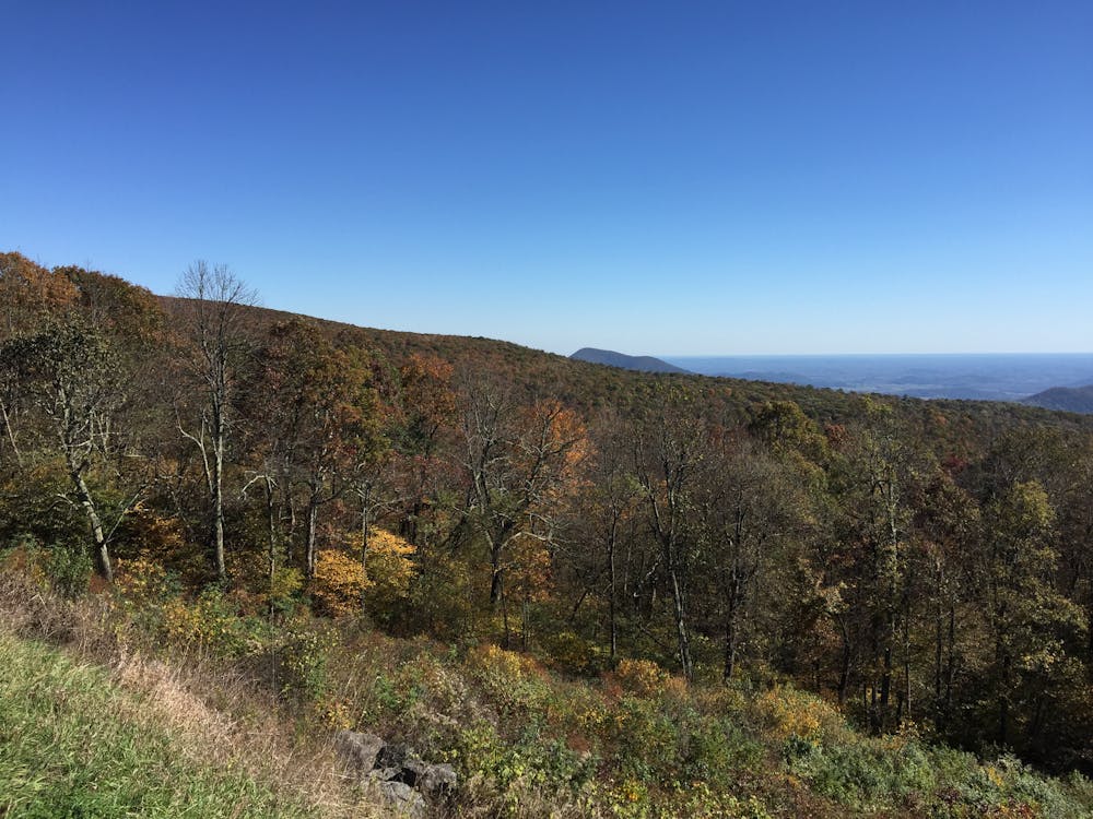
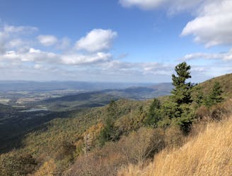
Further north on the trail, you'll wind around the Elkwallow Picnic Area, Rattlesnake Overlook, and onto the picturesque Hogback Mountain. The highest point in the northern portion of the National Park, this overlook serves as an excellent spot to eat some lunch with a view, and is also only a short walk from Skyline Drive.
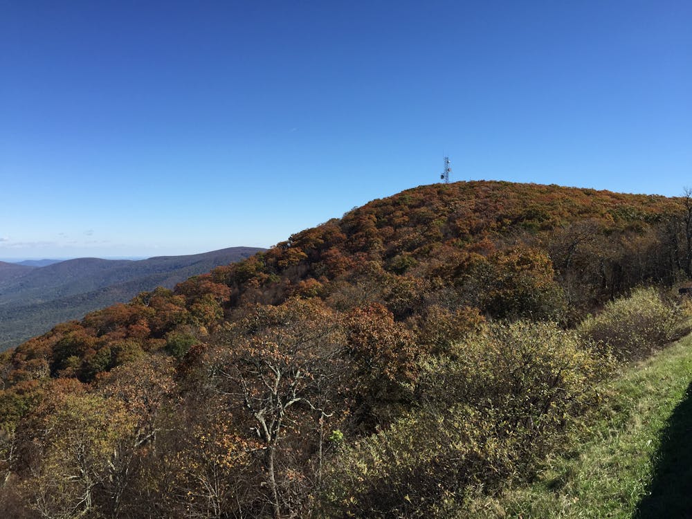
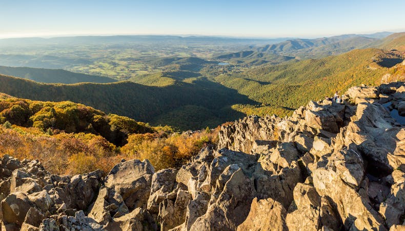
Crossing over Little Hogback and passing the Gravel Springs Hut, the AT traverses its way over the Marshalls. This stretch is arguably one of the best bang-for-your-buck hikes in the region, as you cross over multiple exposed summits without any intense or sustained climbs. Between the two, the trail crosses Skyline Drive, where a small parking area serves as a good staging area for either South Marshall or North Marshall. This stretch, lightly traveled relative to other nearby landmarks, offers killer views from exposed rocky outcroppings.
Compton Peak, another exposed summit with great views, lies ahead on the AT and is also accessible from Skyline Drive via a short hike.
As the AT departs from Skyline Drive, it heads to Remount Road, the Front Royal terminus for the trail as it leaves Shenandoah National Park. With only a short hike remaining to Interstate 66, you're left with a few lower elevation miles before crossing through the beautiful Trumbo Hollow. Lush flora and fauna intermingle with expansive open meadows that are easily-accessible from small trailheads along the road.
Reaching the northern terminus of this segment, a parking area lies along Tuckers Lane on the north side of the interstate.
Note that Skyline Drive is located within Shenandoah National Park and may close periodically due to inclement weather. For the latest warnings and for information on entrance fees and hours, visit this link: https://www.nps.gov/shen/planyourvisit/driving-skyline-drive.htm
Sources: https://www.hikingupward.com/OVH/TrumboHollow/ https://en.wikipedia.org/wiki/HogbackMountain(ShenandoahNationalPark,Virginia) https://virginiatrailguide.com/2014/05/10/the-marshalls/
Difficult
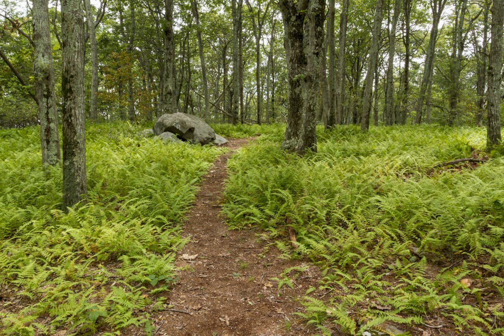
Hiking trails where obstacles such as rocks or roots are prevalent. Some obstacles can require care to step over or around. At times, the trail can be worn and eroded. The grade of the trail is generally quite steep, and can often lead to strenuous hiking.

The trail contains some obstacles such as outcroppings and rock which could cause injury.

Close to help in case of emergency.
2.8 km away
A beginner-friendly overnight loop with a beautiful waterfall and small cave.
Moderate Hiking
7.4 km away
A short hike with epic views atop the northernmost 4,000' peak in the Blue Ridge Mountains.
Difficult Hiking

58 routes · Hiking
6 routes · Hiking
10 routes · Hiking