
58 routes · Hiking
A beautiful AT segment known for its traverse over Saddleback Mountain.
Hiking Difficult

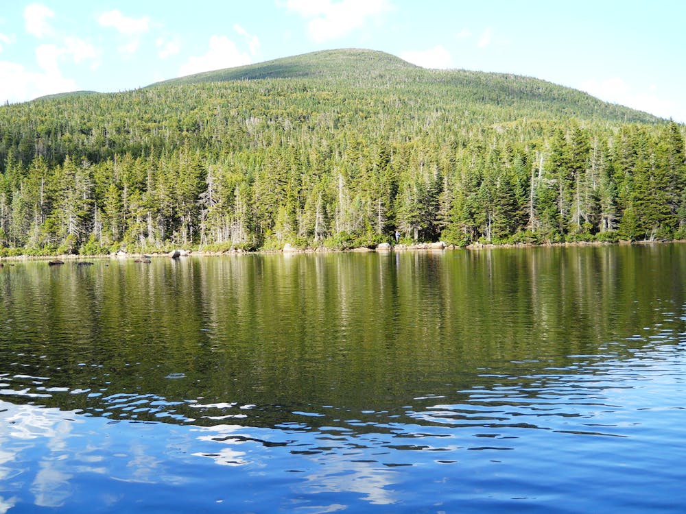
The southern terminus of the segment lies along Rumford Road, just north of where the Appalachian Trail crosses. Begin the segment with a climb over the (comparatively) small Spruce Mountain. The trail wraps around the northern side of the lake before hugging its eastern shore. Between Long Pond and Sabbath Day Pond, you will find a lean-to shelter.
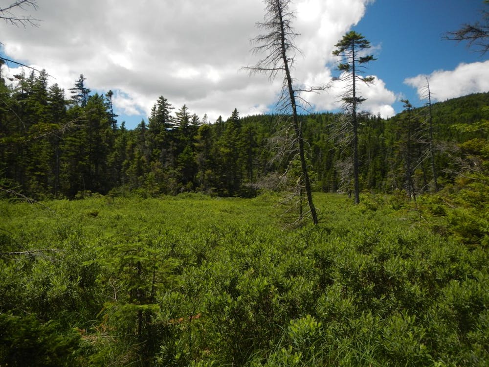
A quiet stretch of remote backcountry lies ahead as the trail weaves between heavily logged areas. ME-4 is the next major road crossing and serves as a popular access point for the trail.
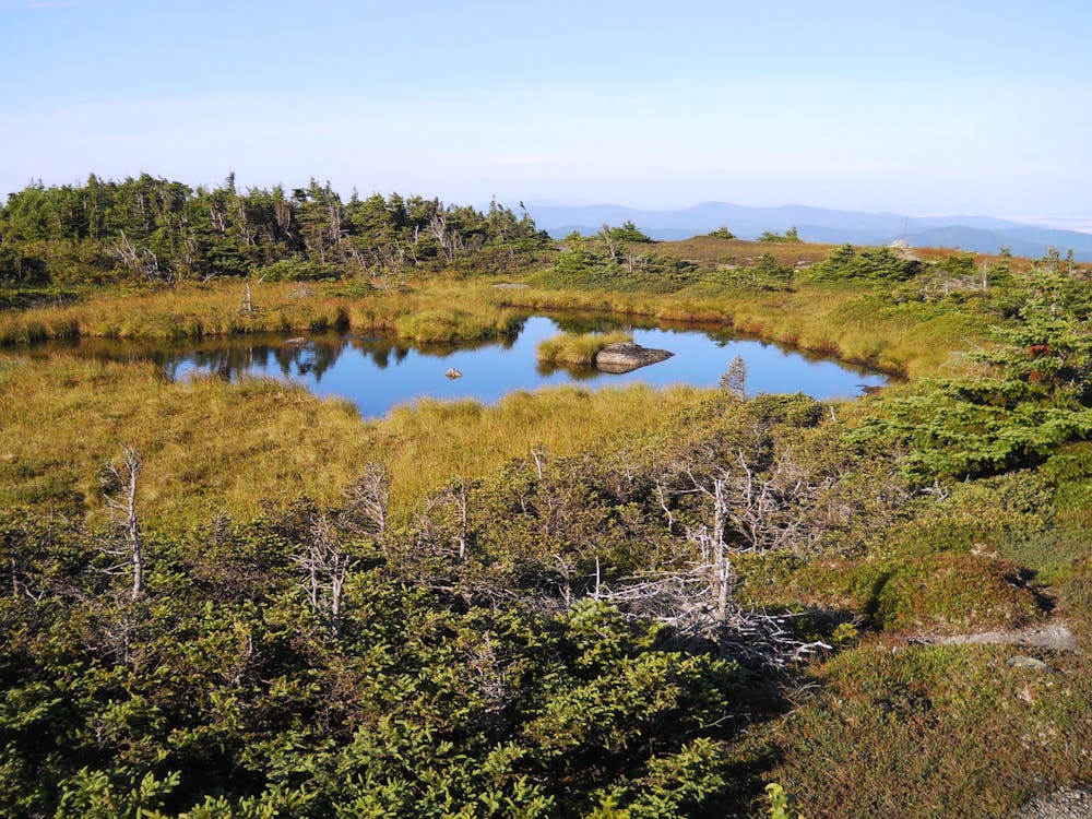
Next, the AT makes its way past a couple of small picturesque ponds before following the shore of Eddy Pond. This beautiful, remote pond is an excellent destination for a day hike or a spot for lunch before beginning the climb to Saddleback Mountain.
As of the 2018/19 season, the ski resort located along the northern side of the mountain remains closed due to complications with its sale. Enjoy the quiet and remote setting as there are far fewer visitors to this area than in the past.
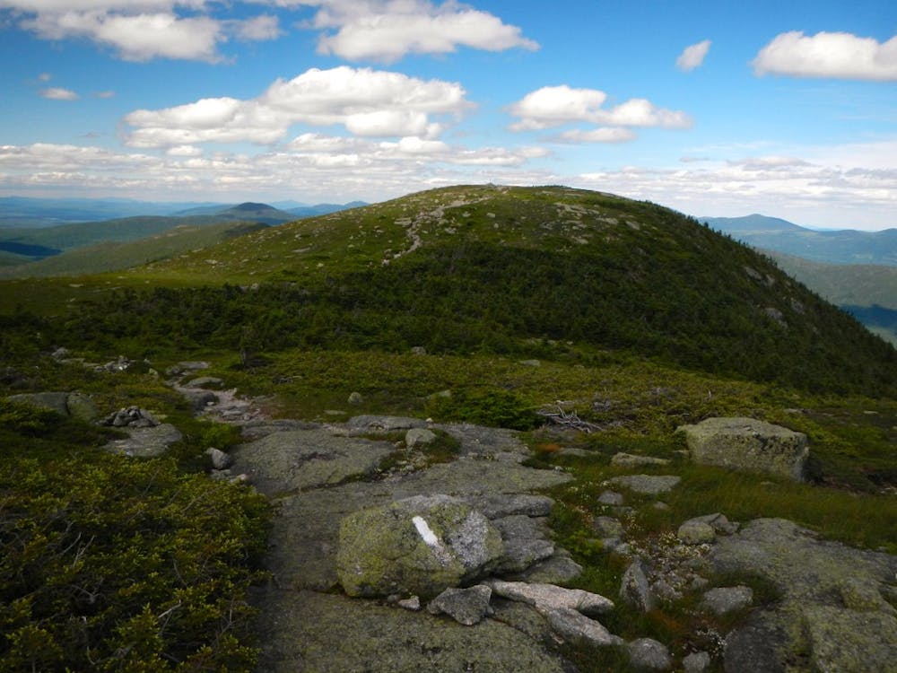
According to MaineTrailFinder.com, "Upon reaching the summit of Saddleback Mountain, elevation, 4,120', excellent views north to Katahdin and south to Mount Washington present themselves."
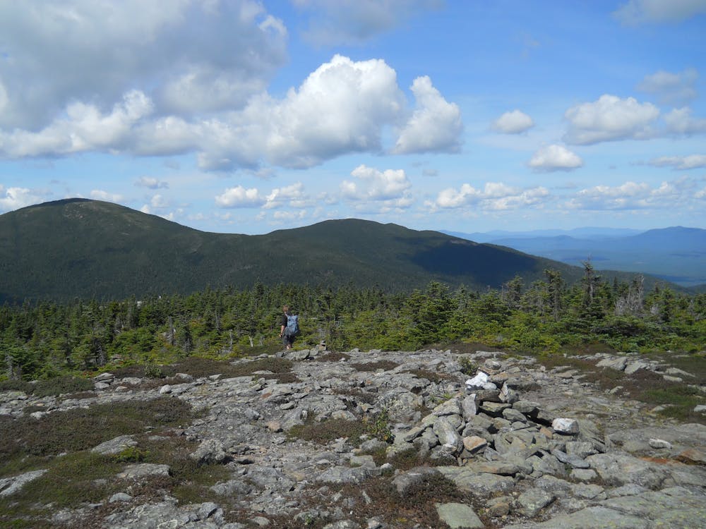
Enjoy the sweeping views from atop the ridge as you make your way to the furthest point, referred to as The Horn. Here, soak in some more views before descending 300 feet to the summit of Saddleback Junior.
Ahead, the trail makes its way through a series of intersections with other trails and roads as it heads to Spaulding Mountain at 4,000 feet. Pass the lean-to shelter just before summiting the peak.
Maine's third-highest peak lies ahead: Sugarloaf Mountain. The AT originally crossed over the peak, but now skirts along the west side of the mountain. At the trail junction, take the 0.6-mile spur to reach its summit.
Rounding out this spectacular segment, the AT summits South Crocker Mountain and Crocker Mountain, both 4,000-footers. A long descent leads to Carrabassett Drive (ME-16). For a hot meal or to resupply, head southeast on the road to Carrabassett Valley.
Sources: https://en.wikipedia.org/wiki/SugarloafMountain(FranklinCounty,Maine) https://www.mainetrailfinder.com/trails/trail/appalachian-trail-saddleback-mountain https://unofficialnetworks.com/2018/09/04/the-absurdity-continues-surrounding-the-group-seeking-to-purchase-saddleback-mountain-maine/
Difficult
Hiking trails where obstacles such as rocks or roots are prevalent. Some obstacles can require care to step over or around. At times, the trail can be worn and eroded. The grade of the trail is generally quite steep, and can often lead to strenuous hiking.

The trail contains some obstacles such as outcroppings and rock which could cause injury.

Little chance of being seen or helped in case of an accident.
58 routes · Hiking