
58 routes · Hiking
A remote stretch connecting two iconic landmarks via the summit of Cheoah Bald.
Hiking Difficult

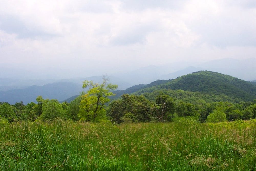
This stretch of the Appalachian Trail is frequently used to access the 5,062-foot summit of the Cheoah Bald, the “Grandstand of the Atlantic."
Of the two approach options via the AT, most begin at the NOC for a ~16-mile round trip to the summit. From the north, you can also approach the summit from Sweetwater Road (Stecoah Gap) for a shorter, but just as challenging, route.
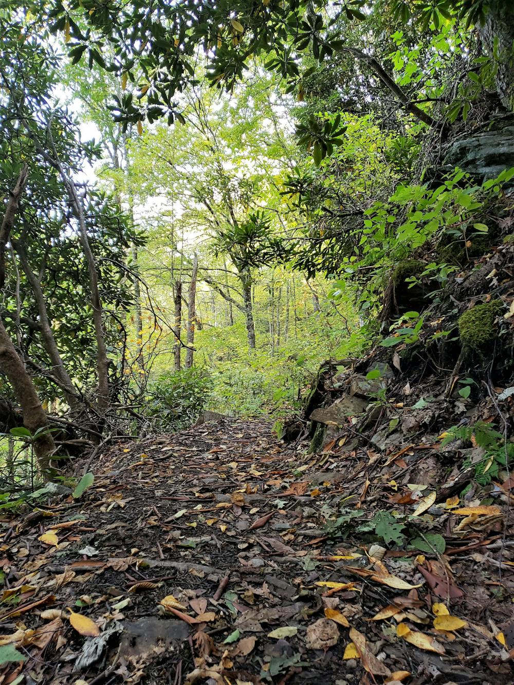
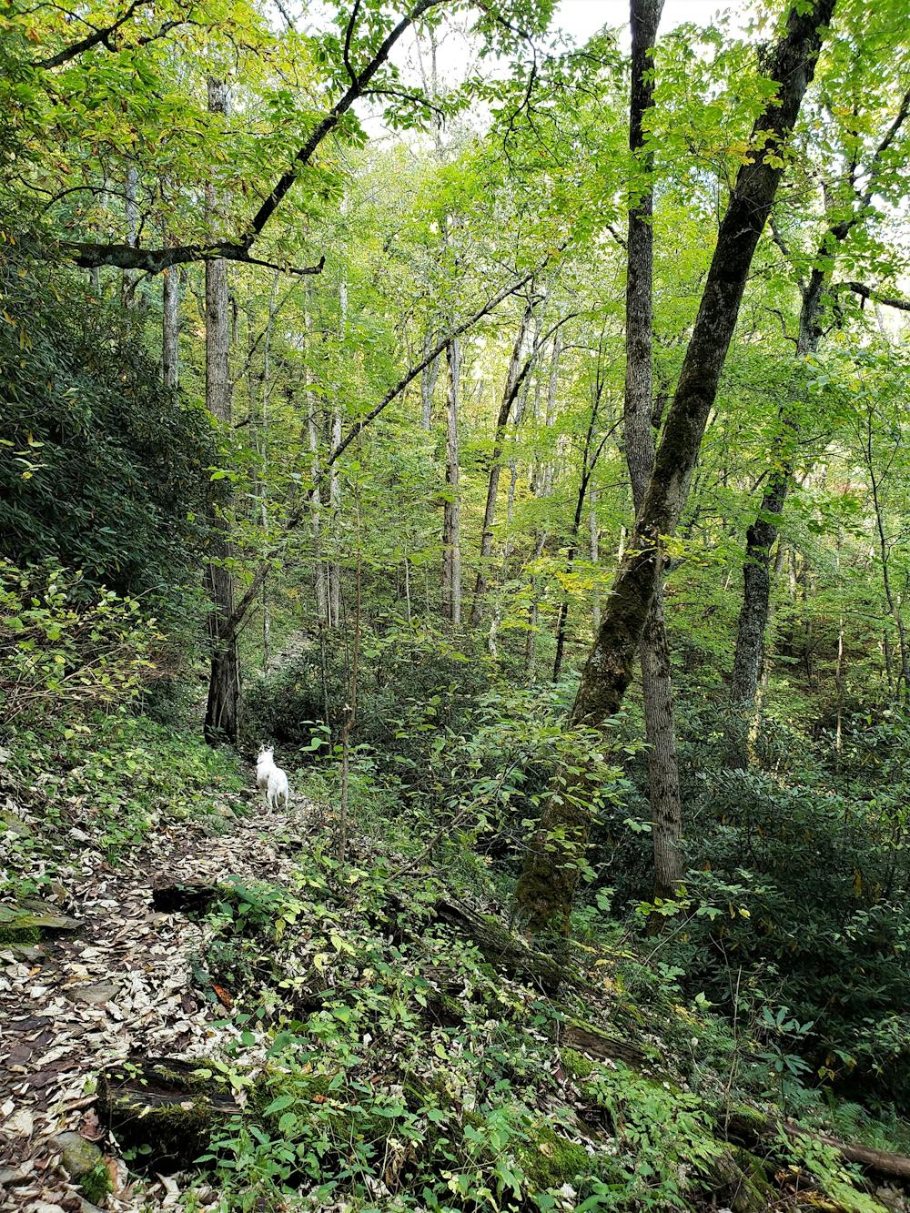
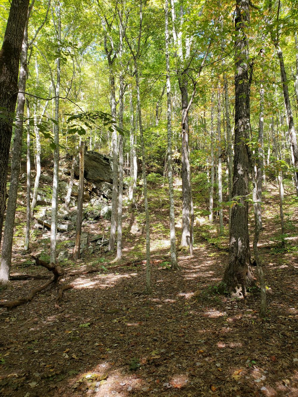
Hiking up from the NOC, you will pass by several unique rock formations, including one that is a common spot for rock climbing and bouldering. After that, the trail pitches steeply at times, challenging even the strongest of hikers and runners. While the majority of the approach follows a ridge, a couple of fresh springs can still be found.
The reward for your effort is a breathtaking, panoramic view of the surrounding Nantahala National Forest. While not the tallest peak in North Carolina, it still towers over all others in this corner of the state, and stands as the last high point before entering the Smokies.
Once at the summit, continuing north on the AT will take you down to Sweetwater Road, which offers a shuttle opportunity should you have one arranged.
Continuing north on the AT, you will re-enter the "Green Tunnel" for a peaceful, yet challenging, finish to this segment that terminates at Fontana Dam.
Sources: https://www.summitpost.org/cheoah-bald/155095 https://www.hikingupward.com/NNF/CheoahBald/
Difficult
Hiking trails where obstacles such as rocks or roots are prevalent. Some obstacles can require care to step over or around. At times, the trail can be worn and eroded. The grade of the trail is generally quite steep, and can often lead to strenuous hiking.

The trail contains some obstacles such as outcroppings and rock which could cause injury.

Little chance of being seen or helped in case of an accident.
58 routes · Hiking