3 m away
Benton MacKaye Trail
Named for the creator of the Appalachian Trail, this lesser-known alternative route through the Southern Appalachians links scenery that's just as wild.
Difficult Hiking
- Distance
- 453 km
- Ascent
- 13 km
- Descent
- 14 km
The southern terminus for the world-renowned Appalachian Trail.
Hiking Difficult

This is the introduction to the nearly 2,200 mile long Appalachian Trail, a trail conceived by the late Benton MacKaye. Completing the entire trail is a mammoth undertaking that shouldn't be taken lightly.
The Appalachian Trail Conservancy claims that "...more than 3 million people visit the Trail every year and over 3,000 people attempt to “thru-hike” the entire footpath in a single year."
Completed in 1937, the Appalachian Trail helps form the Triple Crown of Hiking—along with the Pacific Crest Trail and Continental Divide Trail. With more than 1 million feet of climbing and nearly 7,000 miles of trail, only 396 thru-hikers have been documented completing the feat as of 2018.
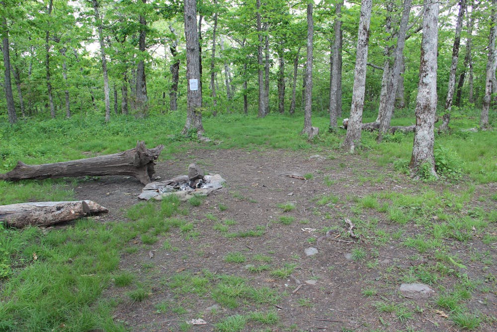
With most north-bound (NOBO) thru-hikers beginning in March and April, this section of trail can quickly become crowded. Due to the high influx of hikers during this time, this segment is lined with several shelters.
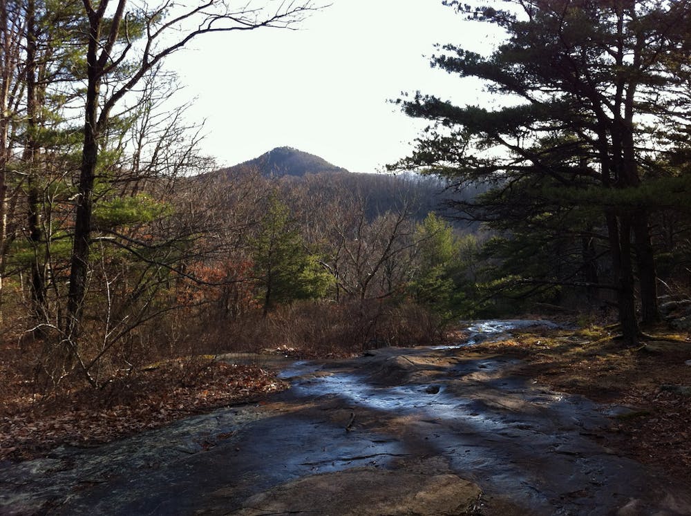
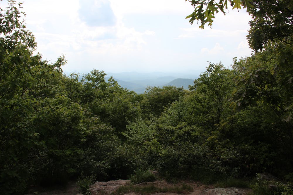
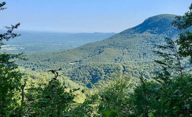
Beginning at Springer Mountain, the trail is open and gradually climbs and descends for the first few miles. While easier than other segments, this is a great introduction to the often mischievous nature of the Appalachian Mountains. Easy miles are often greeted by intense climbs. With nearly 7,000 feet of climbing, this segment is just the introduction to a trail that breaks even the strongest of hikers.
As you near Hightower Gap, you will pass the Hawk Mountain Shelter, a popular overnight spot with additional tent camping opportunities.
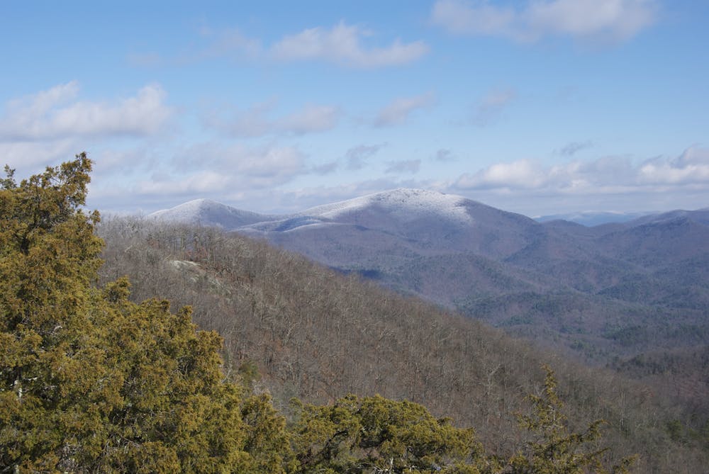
With a couple of steep portions ahead, the trail then crosses Cooper's Gap Road before summiting Justus Mountain. As you catch your breath, enjoy the Southern Appalachian flora before it gives way to the harsher Smoky Mountain terrain.
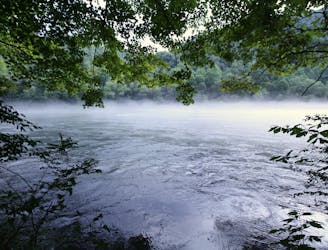
Crossing Ramrock Mountain then Woody Gap, the trail bags a few small peaks, while skirting the edge of others. The town of Suches serves as a popular resupply point and is only a short walk from Woody Gap (GA-60).
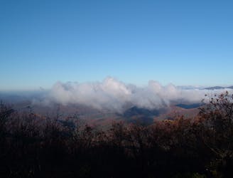
Before Neels Gap, a challenging yet rewarding summit of Blood Mountain lies in the way. At around 4,500 feet, this summit can offer astonishing views or tantalize you with harsh, cloudy conditions.
For those looking for a short day hike, this peak is less than a 5-mile round trip hike from Neels Gap, and consequently is the most-traveled section of the AT in Georgia.
Sources: https://en.wikipedia.org/wiki/TripleCrownofHiking https://www.appalachiantrail.org/home/about-us https://en.wikipedia.org/wiki/AppalachianTrail https://sticksblog.com/2012/01/19/springer-to-neels-gap/
Difficult
Hiking trails where obstacles such as rocks or roots are prevalent. Some obstacles can require care to step over or around. At times, the trail can be worn and eroded. The grade of the trail is generally quite steep, and can often lead to strenuous hiking.

The trail contains some obstacles such as outcroppings and rock which could cause injury.
Away from help but easily accessed.
3 m away
Named for the creator of the Appalachian Trail, this lesser-known alternative route through the Southern Appalachians links scenery that's just as wild.
Difficult Hiking
1.2 km away
A day hike at Springer Mountain pairing two iconic thru-hiking trails.
Moderate Hiking
9.2 km away
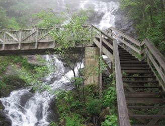
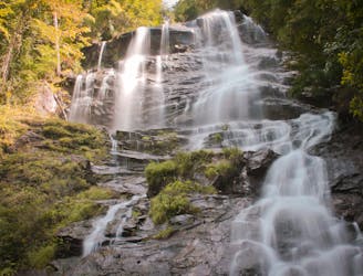
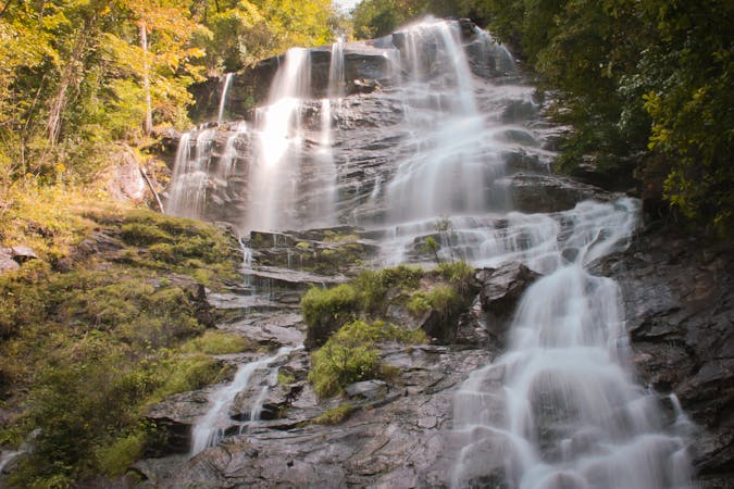
A loop pairing the AT Approach Trail and East Ridge Trail to Georgia's tallest waterfall.
Difficult Hiking
9.2 km away
The 8-mile approach to the southern terminus of the Appalachian Trail.
Difficult Hiking

58 routes · Hiking
10 routes · Hiking
11 routes · Hiking · Trail Running