1 m away
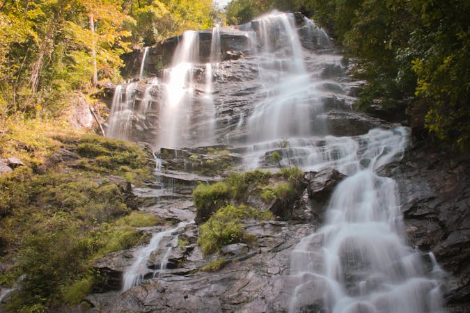
Amicalola Falls Loop
A loop pairing the AT Approach Trail and East Ridge Trail to Georgia's tallest waterfall.
Difficult Hiking
- Distance
- 3.4 km
- Ascent
- 239 m
- Descent
- 239 m
The 8-mile approach to the southern terminus of the Appalachian Trail.
Hiking Difficult

There are two ways to begin the Appalachian Trail: atop Springer Mountain itself, or via the Amicalola Falls Approach Trail. Only an 8-mile addition to the 2,200-mile-long Appalachian Trail, about half of northbound thru-hikers choose Amicalola Falls State Park as their starting point.

Accessible via a state highway, it is significantly easier to access the Approach Trail, as compared to the Springer Mountain trailhead located along an unpaved forest service road. Though neither high-clearance nor 4x4 are required to reach Springer, it adds an additional half-hour drive as compared to beginning at Amicalola Falls State Park.
The state park also hosts one of three official registration sites for thru-hikers—the others are at Harpers Ferry and in Maine. Though voluntary, the AT Conservancy suggests registering your hike to help avoid overcrowding the trail and its shelters during peak season in March and April.
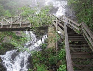
While some sources suggest beginning the approach trail at the observation deck atop the waterfall, others suggest beginning at the lower parking lot and following the East Ridge Trail up. Whichever way you do it, look for the iconic arch, snap a photo, and officially begin up the blue-blazed trail.
A popular hiking option from the state park is to pair the Len Foote Trail with the Approach Trail. At roughly 11 miles, this loop can be completed as a day hike, trail run, or overnight trip.
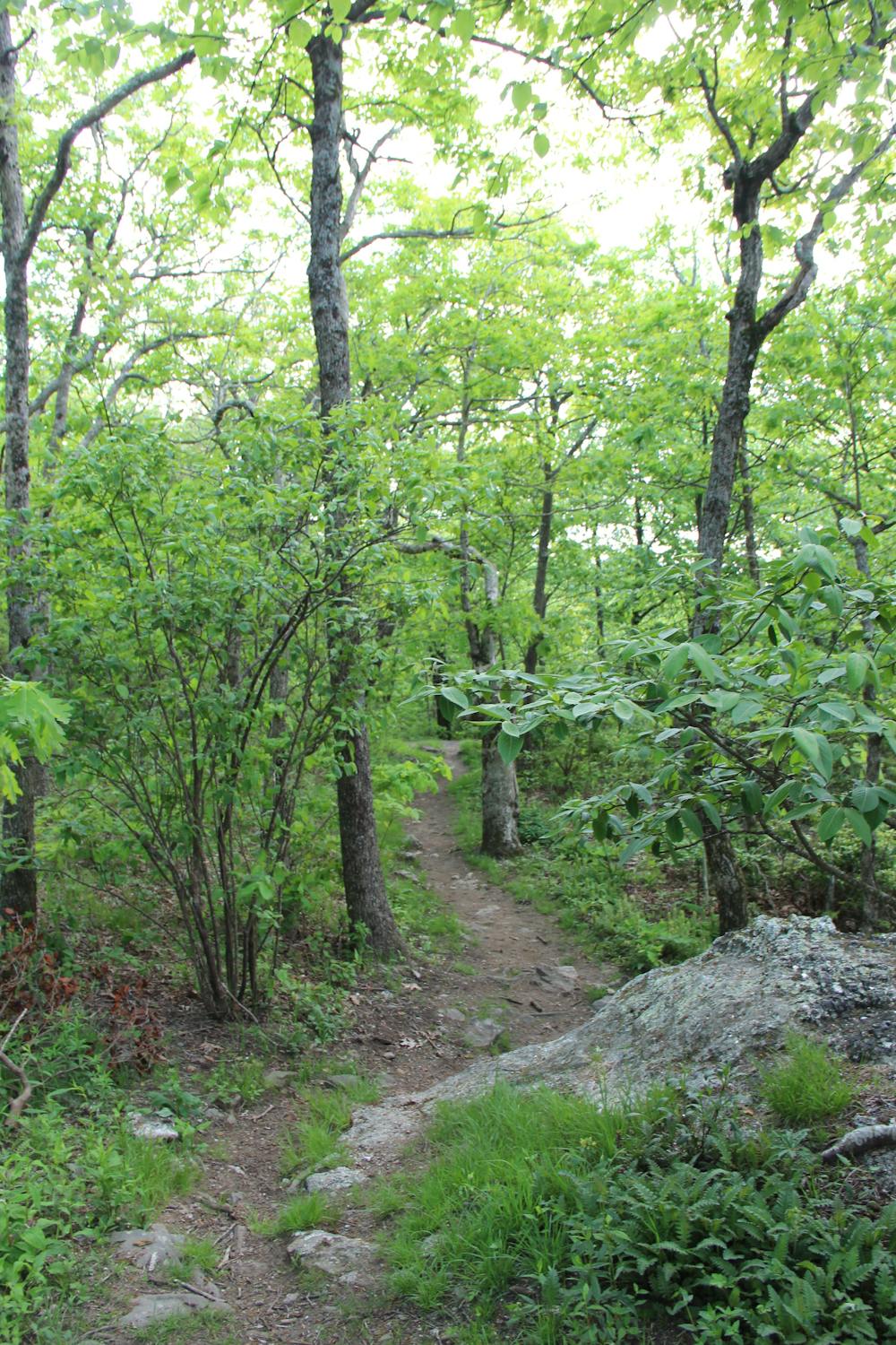
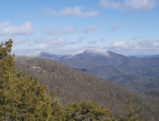
Heading north, the trail becomes a roller coaster of a hike as it climbs its way to the top of Springer Mountain. Around the halfway point, it passes over Frosty Mountain at ~3,400 feet.
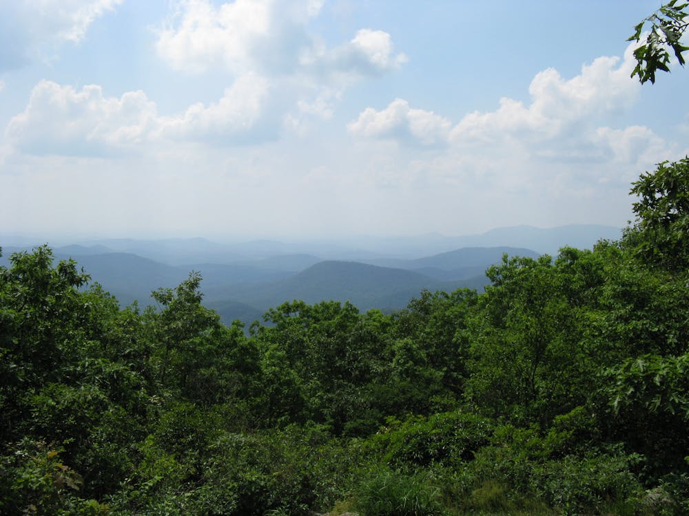
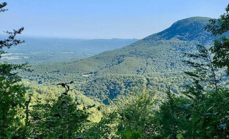
Pass through Nimblewill Gap and Black Gap before summiting Springer Mountain, the official southern terminus of the AT. Depending on the season, you may be able to snag some partial views atop the mountain.
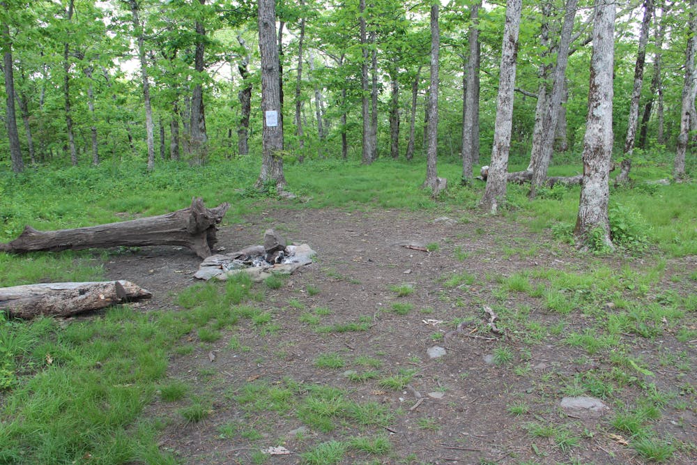
Just beyond the summit, a shelter serves as a popular overnight spot before beginning the official hike north along the 2,200-mile-long Appalachian Trail.
Sources: http://www.appalachiantrail.org/home/explore-the-trail/thru-hiking/voluntary-thru-hiker-registration#whyregister https://appalachiantrailclarity.com/2017/01/29/the-ups-and-downs-of-the-appalachian-approach-trail/
Difficult
Hiking trails where obstacles such as rocks or roots are prevalent. Some obstacles can require care to step over or around. At times, the trail can be worn and eroded. The grade of the trail is generally quite steep, and can often lead to strenuous hiking.

The trail contains some obstacles such as outcroppings and rock which could cause injury.
Away from help but easily accessed.
1 m away
A loop pairing the AT Approach Trail and East Ridge Trail to Georgia's tallest waterfall.
Difficult Hiking
9.2 km away

Named for the creator of the Appalachian Trail, this lesser-known alternative route through the Southern Appalachians links scenery that's just as wild.
Difficult Hiking
9.2 km away
The southern terminus for the world-renowned Appalachian Trail.
Difficult Hiking

58 routes · Hiking
10 routes · Hiking
11 routes · Hiking · Trail Running