
58 routes · Hiking
Summiting Mount Moosilauke and Mount Kinsman via the Appalachian Trail
Hiking Severe

This stretch of the Appalachian Trail is a memorable one for most thru-hikers. Separated by a large trailhead along Lost River Road, this segment can be divided into two pieces—Mount Moosilauke and Kinsman Mountain.
If traversing this section from south to north, begin at the unpaved trailhead along NH-25 (Mount Moosilauke Highway). Just south on the road, a popular hostel and post office stand to accommodate hikers passing through.
Just north on the trail, look for Jeffers Brook Shelter for another option to spend the night.
The AT then reaches Long Pond Road, then turns onto High Street before turning right onto the trail. Another small trailhead lies atop this road and accesses the AT via a spur trail.
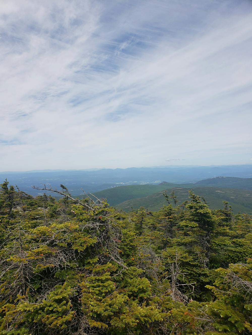
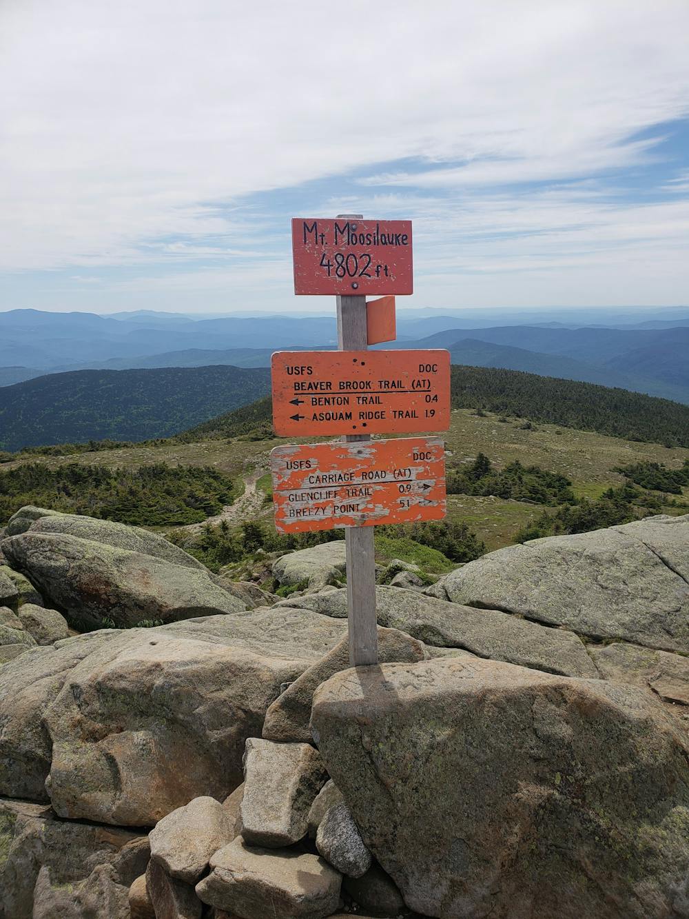
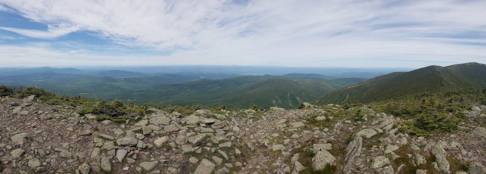
After skirting along a small clearing, the trail splits left, following the same path as the Glencliff Trail. An intense and grueling climb lies ahead as the trail makes its way to the South Peak. A spur trail leads to a viewpoint and the official South Peak Summit, offering phenomenal panoramic views from 4,500 feet. A short climb remains to reach the official summit of Mount Moosilauke at 4,800 feet.
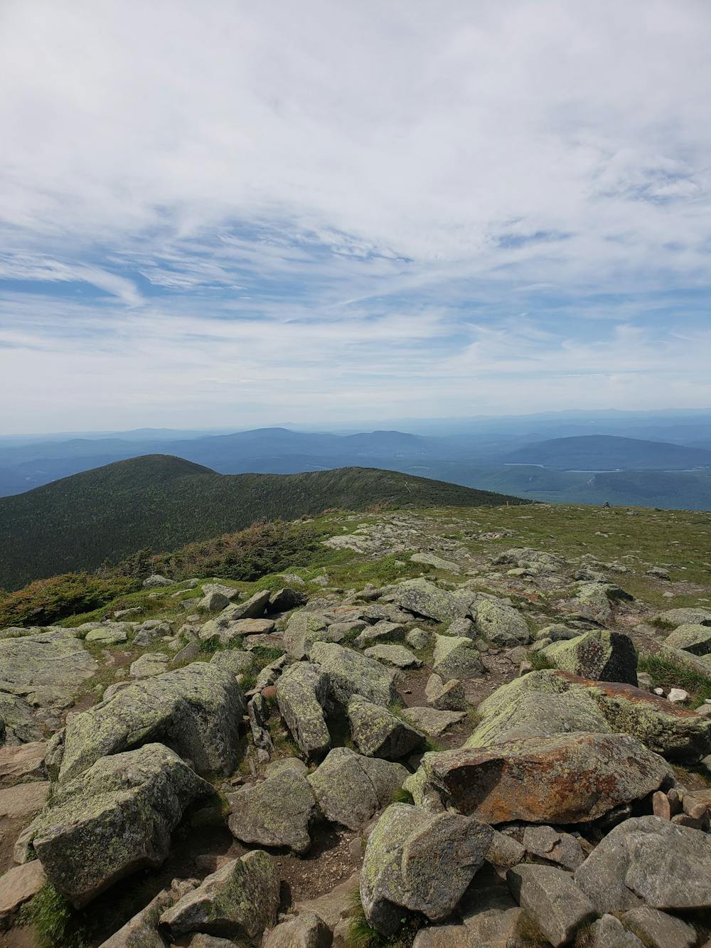
The name of the mountain is most commonly translated as "bald place," derived from the endangered Abenaki language of Quebec. Enjoy the views from the treeless and exposed summit, offering a picturesque vantage point to the Presidential Range, the upcoming Kinsmans, and even portions of the Adirondacks.
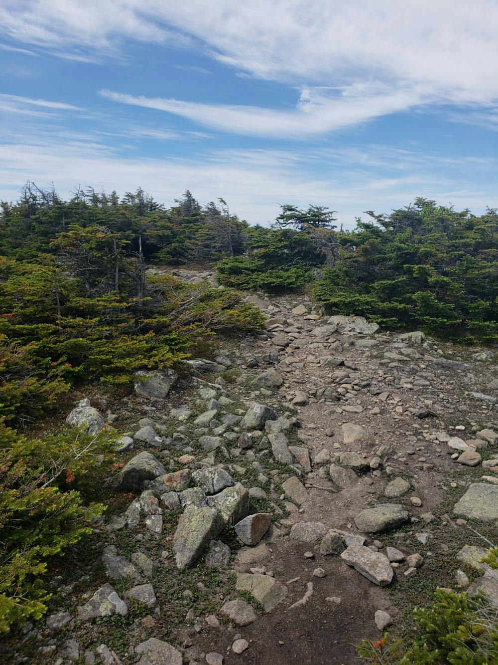
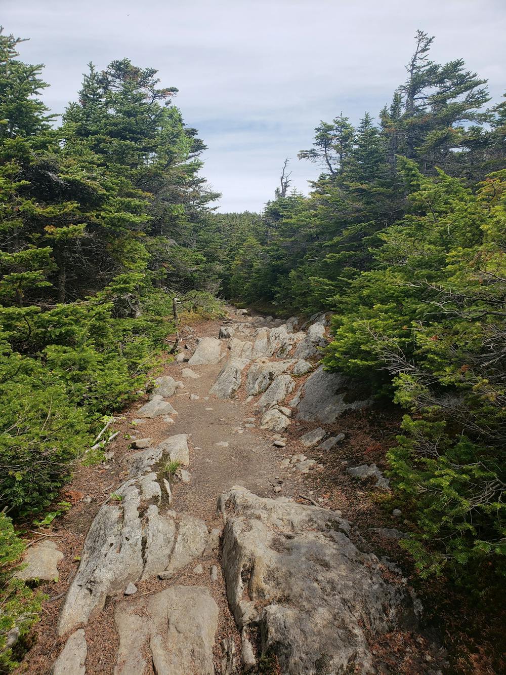
Continuing north along the white-blazed AT, follow the trail around the summit of Mount Blue before beginning the descent. Keep left at the junction with the Asquam Ridge Trail and descend to Kinsman Notch along Lost River Road. A parking area lies at both the north and south ends of Beaver Pond.
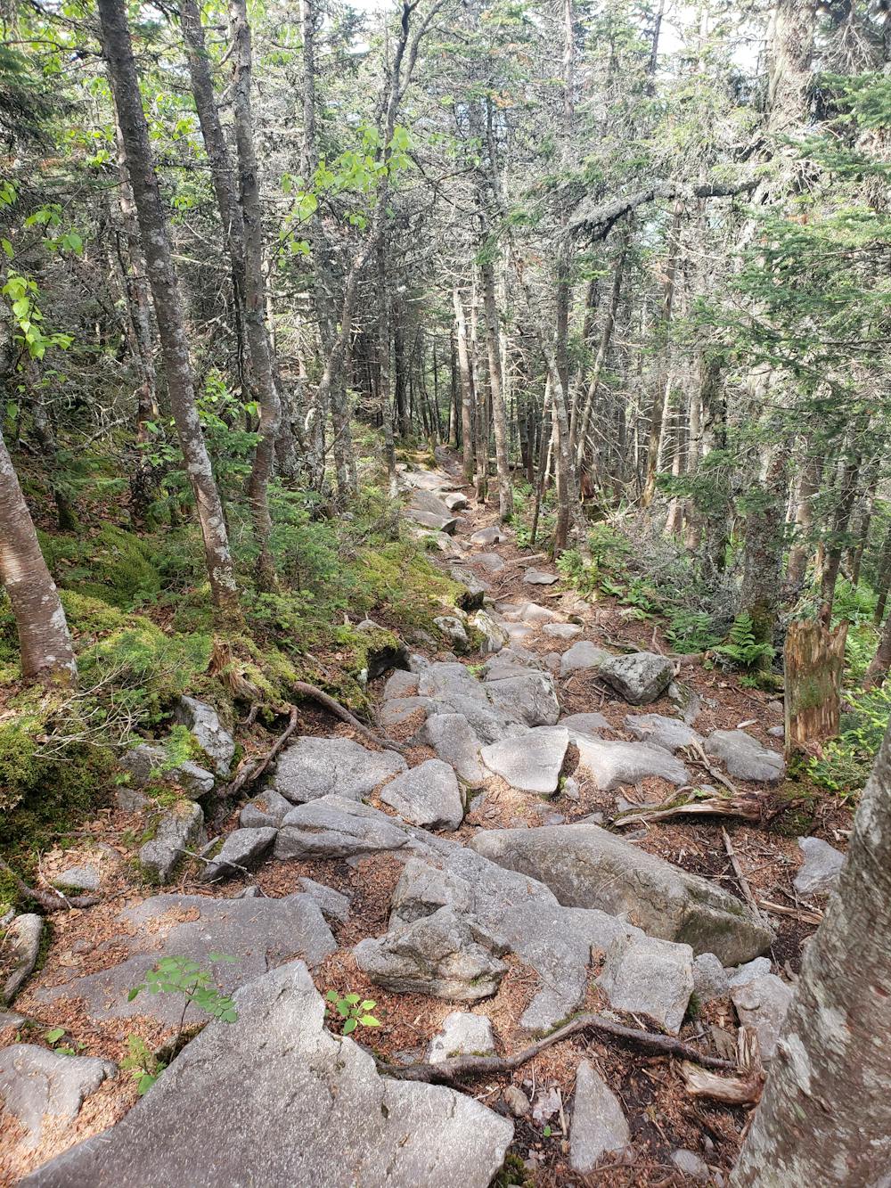
A gradual, still demanding climb lies ahead as the trail makes its way to the next summit of Mount Wolf, shortly after the intersection with Gordon Pond Trail. From the summit, take in the view of the Kinsmans, the next hurdle in your hike should you be heading north.
Keep right at the intersection with the Reel Brook Trail and look for the Eliza Brook Shelter after the clearing. From here, the trail begins the climb to the South Peak of Kinsman Mountain.
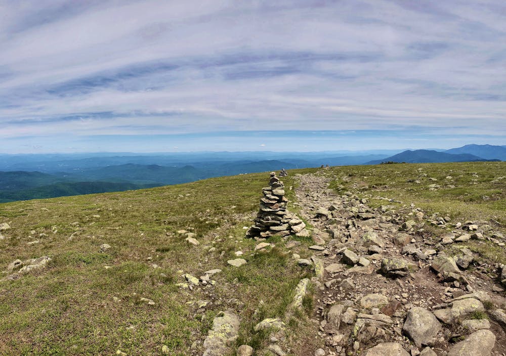
Both the south and north summits are considered independent 4000-foot peaks. Phenomenal views line the way to North Kinsman and just off the trail, you can sneak a view at Kinsman Pond from atop steep granite ledges.
After a short descent, look for a shelter along the north side of the lake for an opportunity to spend the night.
To reach the northern terminus of this segment, follow the white blazes to Lonesome Lake before paralleling Cascade Brook under the interstate and to the junction with Franconia Notch Bike Path—sometimes referred to as the Liberty Springs Trailhead. Use the paved path to access the parking areas to the north or south.
Severe
Hiking challenging trails where simple scrambling, with the occasional use of the hands, is a distinct possibility. The trails are often filled with all manner of obstacles both small and large, and the hills are very steep. Obstacles and challenges are often unexpected and can be unpredictable.

Some trail sections have exposed ledges or steep ascents/descents where falling could cause serious injury.

Away from help but easily accessed.
58 routes · Hiking