12 m away
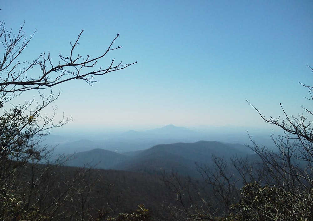
Blood Mountain

The most-hiked section of the Appalachian Trail in Georgia, thanks to an epic summit view!
Difficult Hiking
- Distance
- 7.2 km
- Ascent
- 432 m
- Descent
- 432 m
An AT segment through remote North Georgia Wilderness.
Hiking Difficult

Beginning at the parking area at Neels Gap, the Appalachian Trail climbs towards a breathtaking segment of trail which serves as a great segue, continuing beyond Blood Mountain.
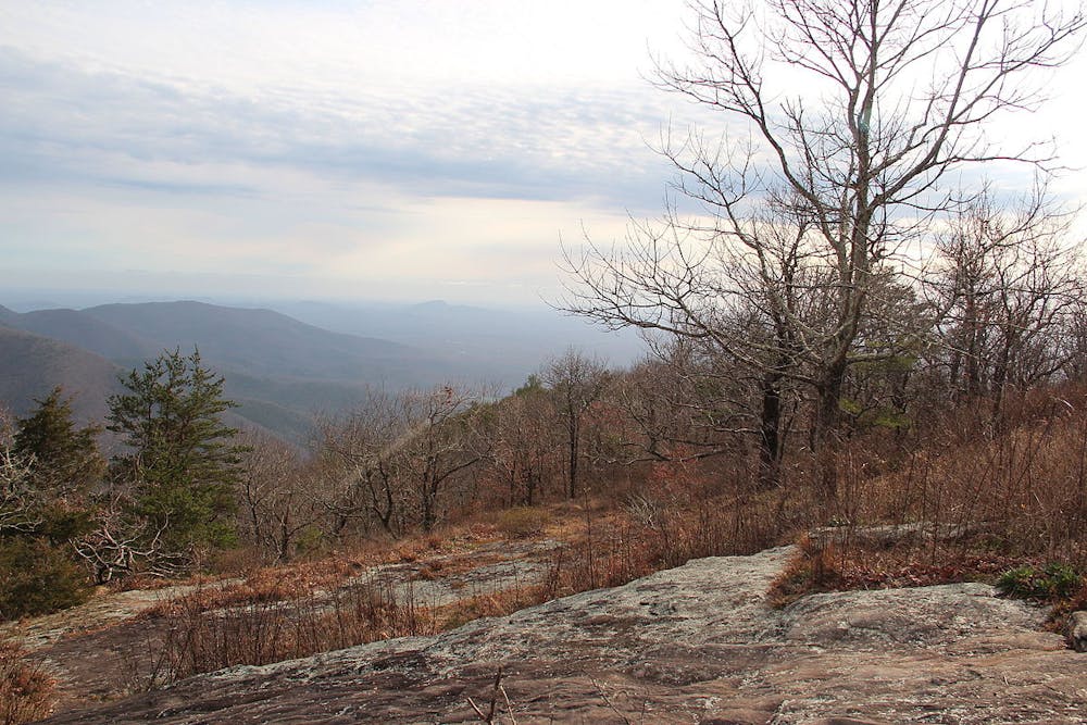
For those looking for a shorter day hike, Levelland Mountain, Turkeypen Mountain, Rock Spring Top, Corbin Horse Stamp, Wolf Laurel Top, and Cowrock are all within a 5-mile hike of the trailhead. The panoramic views and camping opportunities are plentiful along this stretch.
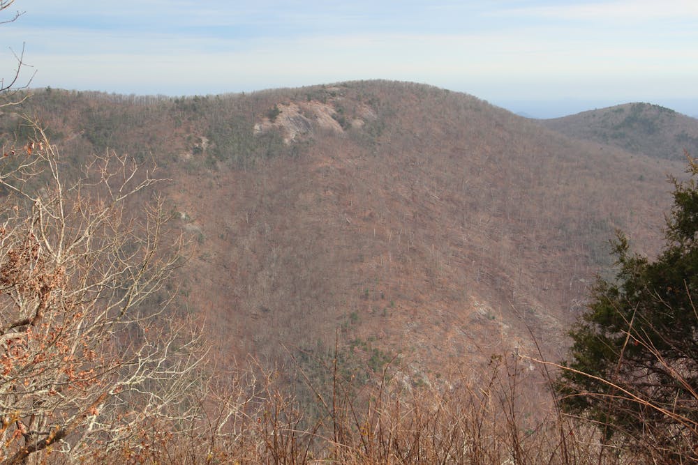
Upon reaching Russell–Brasstown Scenic Byway, the trail crosses the road and alongside a camping area as it enters Mark Trail Wilderness for a 14-mile stretch.
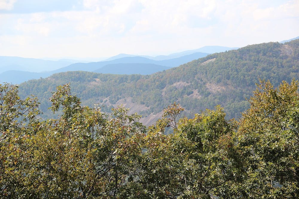
Enjoy breathtaking views of the surrounding Georgia Blue Ridge from the panoramic 4,045-foot summit of Horsetrough Mountain.
Heading north, a final summit of Blue Mountain denotes the beginning of the descent towards Unicoi Gap, a popular access point to the AT. Roughly 20 miles from Neels Gap with 16 more until Dicks Creek Gap (Lookout Mountain Scenic HWY), this trailhead is the only remaining road crossing and allows an excellent opportunity for those looking for a point-to-point shuttle.
Continuing north, the AT crosses into the 9,700-acre Tray Mountain Wilderness. After passing the summit of Rocky Mountain, the trail showcases southern Appalachian flora and fauna as it approaches the eighth highest peak in Georgia, Tray Mountain. This grandstand offers magnificent views of the surrounding area. On a clear day, some have claimed to see as far as Stone Mountain or Kennesaw Mountain. An additional overlook on the southern portion of the mountain allows for views of the Soque River headwaters that eventually flow into the Chattahoochee River.
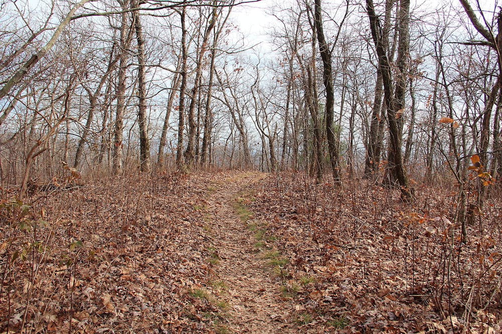
Continuing beyond, the trail traverses an atypical stretch of trail that offers a nice break from the aforementioned peaks. Following a ridge, the AT crosses the remote stretch of wilderness to the northern terminus at Lookout Mountain Scenic Highway.
Sources: https://yourhikes.com/trips/georgia/appalachian-trail-woody-gap-to-unicoi-gap/07-09-2013/ https://en.wikipedia.org/wiki/MarkTrailWilderness https://en.wikipedia.org/wiki/TrayMountainWilderness https://www.cnyhiking.com/ATinGA-Cowrock.htm https://www.sherpaguides.com/georgia/mountains/blueridge/eastern/traymountain.html
Difficult
Hiking trails where obstacles such as rocks or roots are prevalent. Some obstacles can require care to step over or around. At times, the trail can be worn and eroded. The grade of the trail is generally quite steep, and can often lead to strenuous hiking.

The trail contains some obstacles such as outcroppings and rock which could cause injury.

Little chance of being seen or helped in case of an accident.
12 m away
The most-hiked section of the Appalachian Trail in Georgia, thanks to an epic summit view!
Difficult Hiking

58 routes · Hiking

10 routes · Hiking