
58 routes · Hiking
A popular segment for day hiking with killer views all the way to Delaware Water Gap.
Also in New Jersey, United States of America
Hiking Difficult

The southern terminus for this final "Rocksylvania" segment begins at Lehigh Gap just a short distance from Palmerton. Up until 2015, the city hosted a hostel out of a former town jail.
An unfortunate disposition is that Palmerton is also the home to an EPA Superfund site focused on cleaning up the remnants of a formerly-massive zinc plant. Heading north on the AT, the views are endless, though a solemn reminder of the town's history and present situation.
Just past the trailhead at Blue Mountain Drive, you'll reach Weathering Knob, a spot providing excellent views to the north. The trail then traverses across the top of a ridge that is home to the adjacent Blue Mountain Resort. Ahead, pass through a few energy corridors, through Smith Gap, and onto Wind Gap. Most would consider this as the halfway point to the segment.
Before Wolf Gap, the trail passes the unique and challenging segment at Wolf Rocks. The craggy outcropping serves as an excellent place to take a break and is also accessible from the road by a shorter day hike. A bypass trail spurs north of the formation and is often used to create a loop from Wolf Gap.
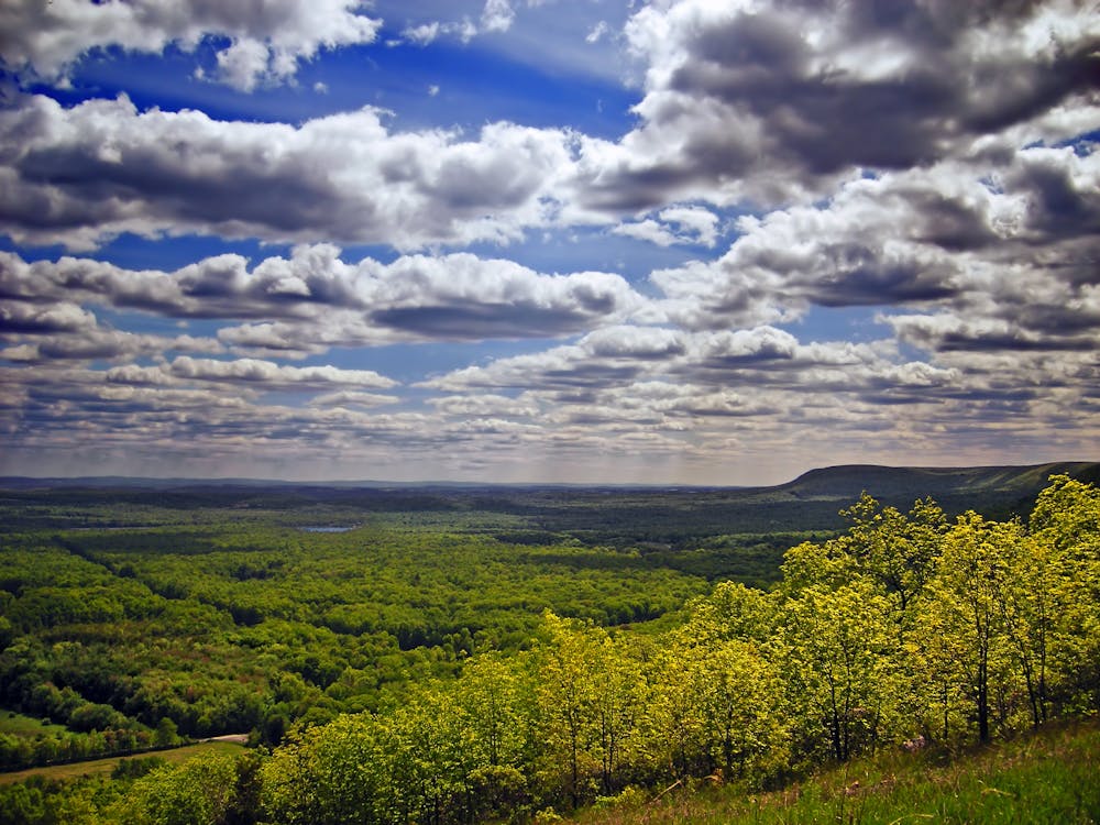
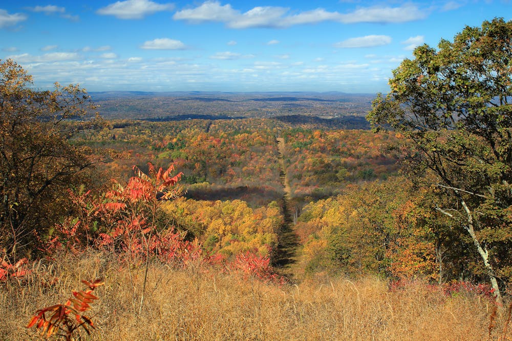
Passing through Fox Gap, the AT climbs to Kirkridge Shelter and to the summit of Kittatinny Mountain. According to Wikipedia, "The name comes from a Lenape Native American word meaning 'endless hill' or 'great mountain.'" The picturesque views from the summit are only the beginning as you traverse the long stretch into New Jersey across the Kittatinny Ridge.
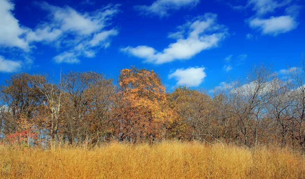
Crossing through Totts Gap, Mount Minsi serves as the final high point in Pennsylvania before descending to the Delaware River. This area is popular among day hikers due to its phenomenal vistas, particularly during dusk and dawn.
To end the segment, finish at either the Kittatinny Point Visitors Center or at the parking area at Dunnfield Creek Natural Area.
Sources: https://en.wikipedia.org/wiki/Palmerton,Pennsylvania
Difficult
Hiking trails where obstacles such as rocks or roots are prevalent. Some obstacles can require care to step over or around. At times, the trail can be worn and eroded. The grade of the trail is generally quite steep, and can often lead to strenuous hiking.

The trail contains some obstacles such as outcroppings and rock which could cause injury.
Away from help but easily accessed.
58 routes · Hiking