0 m away
Long Trail: US-4 to VT-125
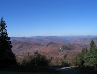
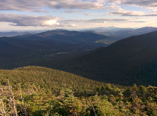
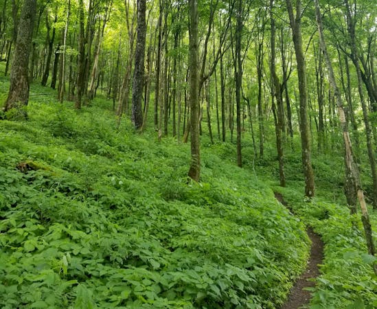
After departing from the AT, the Long Trail begins a grueling traverse across multiple high ridges and through a remote wilderness area.
Difficult Hiking
- Distance
- 46 km
- Ascent
- 2 km
- Descent
- 1.9 km
A easily shuttled stretch of the AT, connecting Killington Mountain to the Connecticut River.
Also in New Hampshire, United States of America
Hiking Difficult

This segment of the Appalachian Trail begins along US-4 at the AT/LT Parking area. Many thru-hikers take advantage of this trailhead to access the town of Rutland for resupply.
Head north to begin the segment, and keep right at the junction with the Catamount Trail to continue to the next intersection where the Appalachian Trail and Long Trail part ways. Since the AT entered Vermont, it has shared the stretch with the Long Trail.
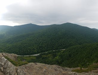
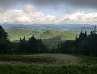
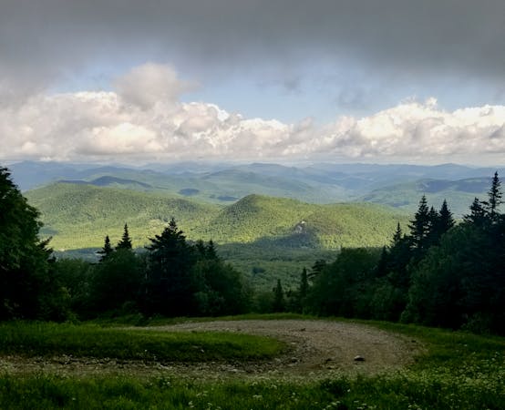
Keep right at the junction and follow the white-blazed AT. For a shorter day hike or a great viewpoint, take the Deer Leap Trail to Deer Leap Rock, before merging back onto the AT. The views from the rocky, exposed overlook provide an excellent vantage point of nearby Pico Mountain.
At the junction with the Sherburne Pass Trail, keep left. A popular day hiking or overnight loop would be to pair the AT with the Sherburne Pass Trail around Pico Mountain.
North on the trail, you'll reach VT-100. A popular market, deli, and post office lie south on the road, just west of the junction with US-4.
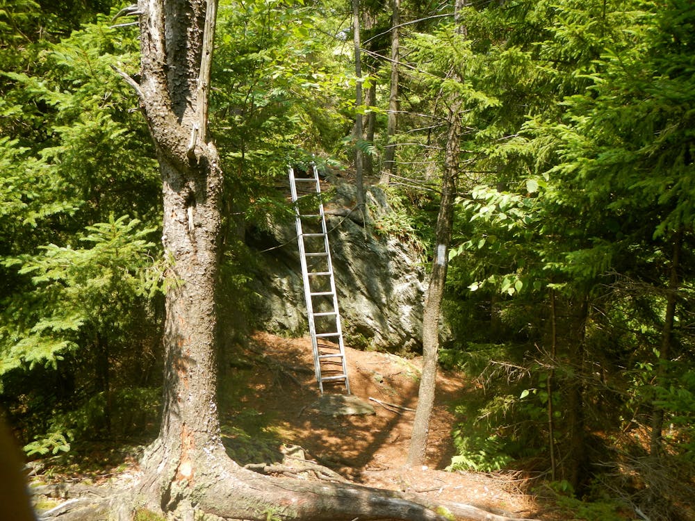
Just up the trail, you will reach the Stony Brook Shelter. Along the way, look for a spur trail leading to a lookout before continuing to Barnard Road. A small parking area lies along the stream and serves as a popular access point to score some views atop Dana Hill.
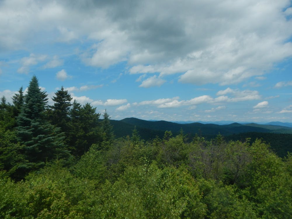
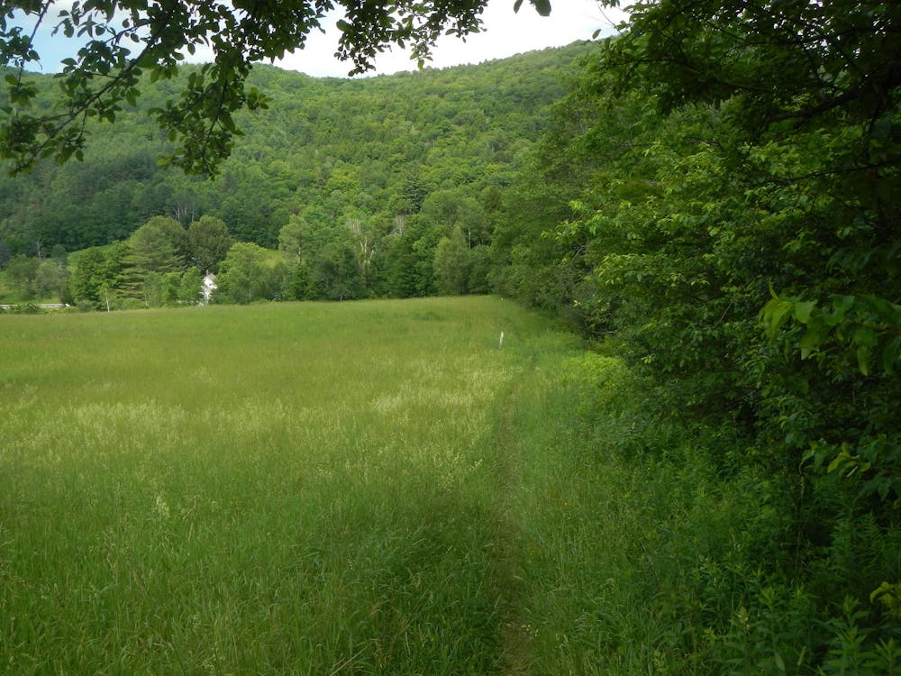
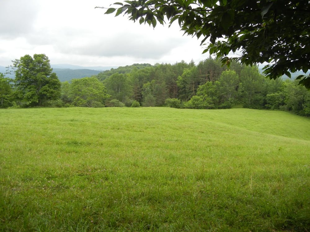
As the trail continues on an eastward trajectory, it rolls over several hills, offering unending views of the surrounding farmlands and pastures.
Reaching West Hartford, the trail crosses over the White River and into town. Though an excellent opportunity to resupply, the town of Hanover also lies ahead.
The trail exits the forest and follows the road across the Connecticut River, a particularly popular area to kayak, canoe, and paddleboard. Head into town and enjoy countless food and drink options, as well as a popular outdoor outfitter, before continuing north on the trail.
Sources: https://sectionhiker.com/at-section-hike-hannover-to-killington/
Difficult
Hiking trails where obstacles such as rocks or roots are prevalent. Some obstacles can require care to step over or around. At times, the trail can be worn and eroded. The grade of the trail is generally quite steep, and can often lead to strenuous hiking.

The trail contains some obstacles such as outcroppings and rock which could cause injury.
Away from help but easily accessed.
0 m away
After departing from the AT, the Long Trail begins a grueling traverse across multiple high ridges and through a remote wilderness area.
Difficult Hiking
1.4 km away
A beautiful loop around Pico Mountain to run, hike, or spend the night.
Severe Hiking
1.4 km away
A short, family-friendly hike to a popular overlook near Killington.
Moderate Hiking
2 km away

A classic summer hike between Rutland and Killington with epic views and a waterfall.
Moderate Hiking
5.7 km away

An approach trail up the west side of Killington Mountain.
Difficult Hiking
9.8 km away

A short hike near Rutland known for its panoramic views, summer wildflowers, and birdwatching opportunities.
Moderate Hiking

58 routes · Hiking
9 routes · Hiking
5 routes · Hiking
5 routes · Mountain Biking · Hiking · Trail Running