4.2 km away
Bald Mountain Trail Loop

A short hike near Rutland known for its panoramic views, summer wildflowers, and birdwatching opportunities.
Moderate Hiking
- Distance
- 5 km
- Ascent
- 260 m
- Descent
- 260 m
An approach trail up the west side of Killington Mountain.
Hiking Difficult

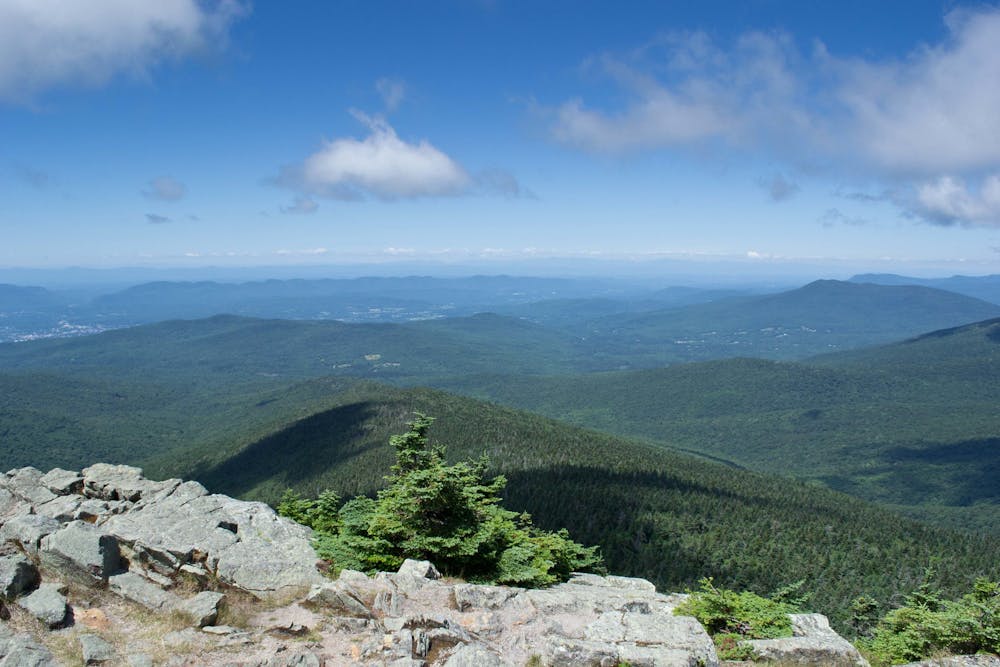
The Bucklin Trail is one of the most direct approaches to Killington Peak, second only to the Appalachian/Long Trail accessed on US-4. Starting at a small pull-off in Brewers Corner, this route climbs nearly 2,500 feet in 3.6 miles, then returns the same way. This source suggests that most hikers will take about five hours to complete the approach, though always factor in some extra time for photos or lunch at the summit—the views are simply stunning.
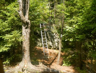
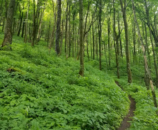
The hike begins with a fairly steady ascent, then steepens about halfway up. The only trail intersection is with the Appalachian Trail (co-aligned with the Long Trail) near the top, where you'll share 0.1-mile along the same route. The final 0.2-miles come by way of a spur trail that is rather steep. Expect a little bit of scrambling, though nothing that requires additional gear.
If you're looking to make an overnight trip of it, Cooper Lodge is near the trail junction with the AT/LT. "At 3,850 feet, the lodge is the highest shelter on the Long Trail," according to HikeNewEngland.com.
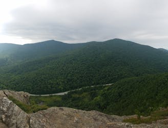
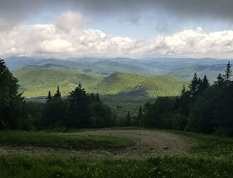
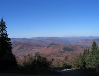
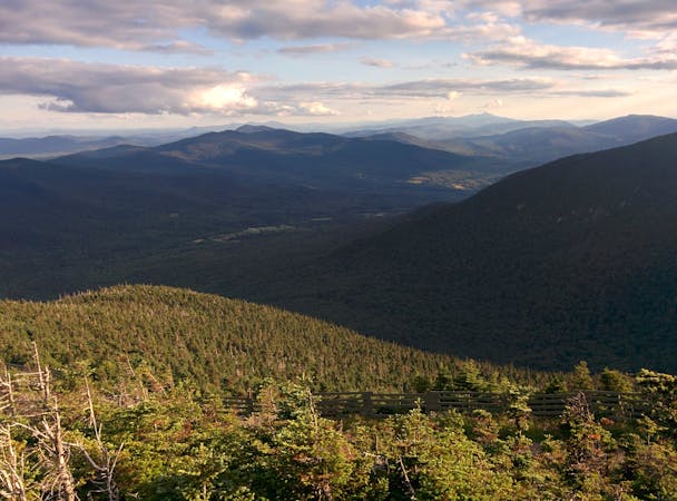
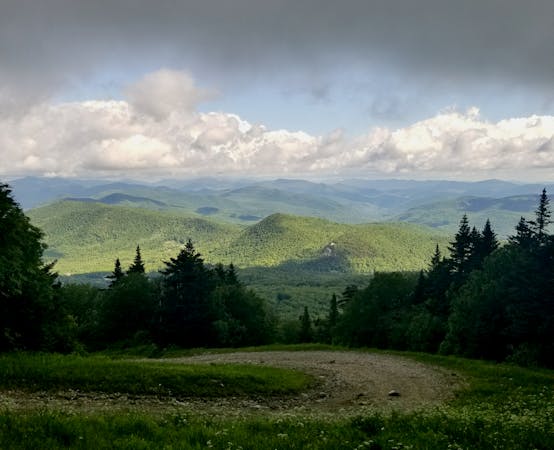
The summit awards epic panoramas—arguably some of the best in the region. Nicknamed the "Beast of the East," Killington is the second highest peak in Vermont at 4,235 feet above sea level. From its exposed summit, enjoy views of the surrounding Green Mountains, maybe even as far as the White Mountains of New Hampshire and Adirondacks of New York on a clear day. Mount Mansfield, Vermont's highest peak, is also visible to the north.
While this is a summer favorite, this hike is accessible year-round with the proper gear. If you're looking to reach the summit without the hike, the K-1 Gondola at Killington operates all winter and on a limited summer schedule, dropping guests just below the peak. A lodge at the summit also offers food and beverage for those interested.
Source: https://www.hikenewengland.com/Killington070825.php https://en.wikipedia.org/wiki/ListofmountainsofVermont
Difficult
Hiking trails where obstacles such as rocks or roots are prevalent. Some obstacles can require care to step over or around. At times, the trail can be worn and eroded. The grade of the trail is generally quite steep, and can often lead to strenuous hiking.

Some trail sections have exposed ledges or steep ascents/descents where falling could cause serious injury.
Little chance of being seen or helped in case of an accident.
4.2 km away
A short hike near Rutland known for its panoramic views, summer wildflowers, and birdwatching opportunities.
Moderate Hiking
5.2 km away

A classic summer hike between Rutland and Killington with epic views and a waterfall.
Moderate Hiking
5.7 km away
After departing from the AT, the Long Trail begins a grueling traverse across multiple high ridges and through a remote wilderness area.
Difficult Hiking
5.7 km away
A easily shuttled stretch of the AT, connecting Killington Mountain to the Connecticut River.
Difficult Hiking
6.1 km away
A beautiful loop around Pico Mountain to run, hike, or spend the night.
Severe Hiking
6.1 km away
A short, family-friendly hike to a popular overlook near Killington.
Moderate Hiking

58 routes · Hiking
9 routes · Hiking
5 routes · Hiking
5 routes · Mountain Biking · Hiking · Trail Running