64 m away
Deer Leap Rock
A short, family-friendly hike to a popular overlook near Killington.
Moderate Hiking
- Distance
- 3 km
- Ascent
- 173 m
- Descent
- 173 m
A beautiful loop around Pico Mountain to run, hike, or spend the night.
Hiking Severe

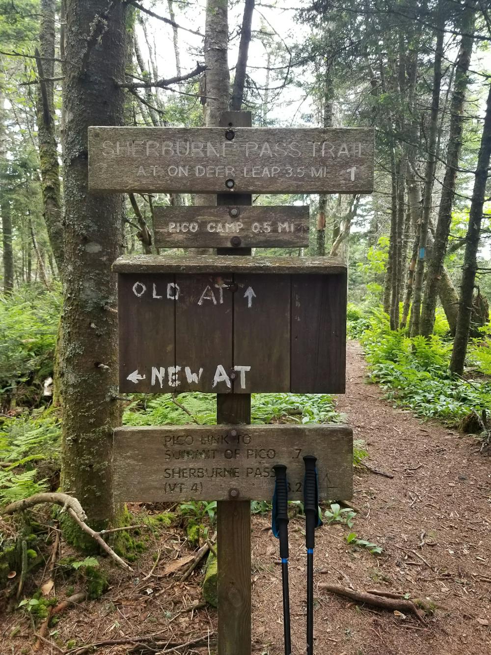
There are two trailheads you can begin this loop from, both of which are located along US-4 and about a mile apart. Beginning at the Sherburne Pass Trailhead, head south to begin the winding, steep climb up the east side of Pico Mountain.
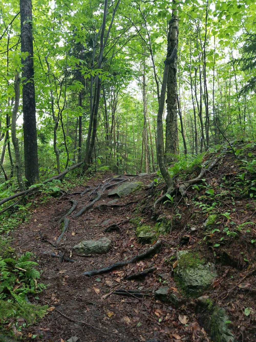

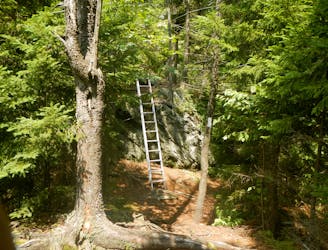
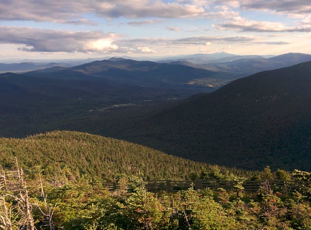
As the trail approaches the top, it reaches an access road/trail that connects Pico to Killington. For an overlook, take the spur trail to the summit of Pico Peak. Extremely steep and rutted, you have to earn the amazing views from the top.
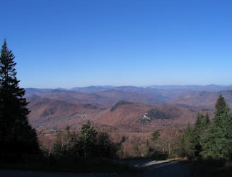
Both the summit and top of the ski lift, the views are quite phenomenal and even better in the summer when the resort is typically vacant.
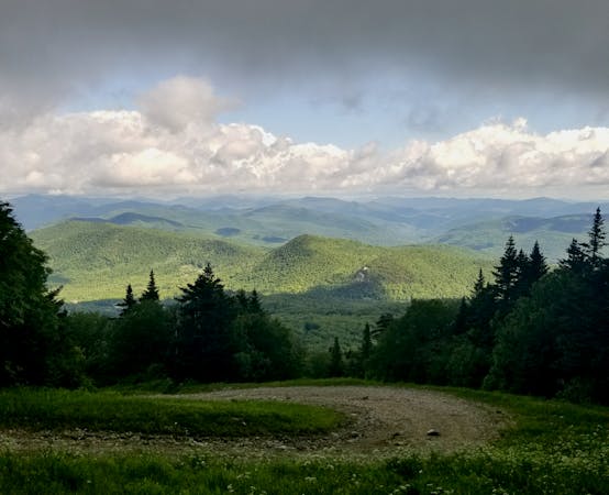
Returning back onto the loop, continue down the access trail, following the blue blazes to the intersection with the Appalachian Trail (which also runs concurrently with the Long Trail here). Pico Camp Shelter can also be found in this area and is a great way to turn this segment into an overnight loop. AT thru-hikers also frequent this shelter in the summer on their trek north.
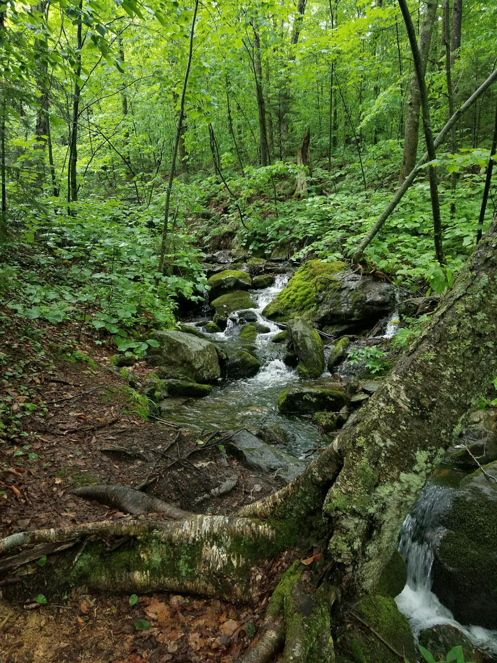
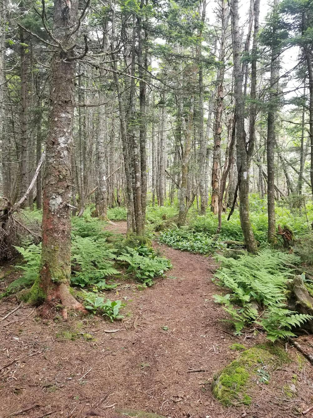
Follow the AT/LT north from the intersection and through the alpine terrain as the trail gradually descends to US-4 again. At the road, a trailhead lies slightly to the east. This is the other parking area to begin the loop. Cross the road to continue.
The Long Trail, heading north to Canada, and the Appalachian Trail on its way to Maine, finally part ways just before the intersection with the Deer Leap Trail. Stay right at both intersections and head to the summit of Deer Leap Mountain.
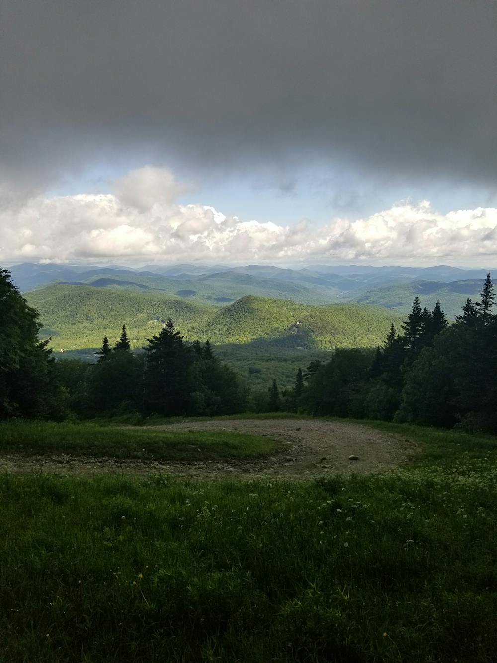
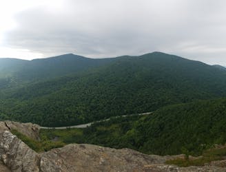
The final gem on the loop is Deer Leap Rock, a popular destination for a short day hike. A short spur to a rocky, exposed overlook make this a phenomenal spot to enjoy lunch with a view.
To finish the loop, take a right onto the AT, and follow it to Sherburne Pass Trail, where you will soon reach the trailhead.
Severe
Hiking challenging trails where simple scrambling, with the occasional use of the hands, is a distinct possibility. The trails are often filled with all manner of obstacles both small and large, and the hills are very steep. Obstacles and challenges are often unexpected and can be unpredictable.

The trail contains some obstacles such as outcroppings and rock which could cause injury.
Away from help but easily accessed.
64 m away
A short, family-friendly hike to a popular overlook near Killington.
Moderate Hiking
1.4 km away
A easily shuttled stretch of the AT, connecting Killington Mountain to the Connecticut River.
Difficult Hiking
1.4 km away
After departing from the AT, the Long Trail begins a grueling traverse across multiple high ridges and through a remote wilderness area.
Difficult Hiking
3.3 km away

A classic summer hike between Rutland and Killington with epic views and a waterfall.
Moderate Hiking
6.1 km away

An approach trail up the west side of Killington Mountain.
Difficult Hiking

58 routes · Hiking
9 routes · Hiking
5 routes · Hiking

5 routes · Mountain Biking · Hiking · Trail Running