
58 routes · Hiking
Two long ridgeline traverses through remote backcountry.
Hiking Moderate

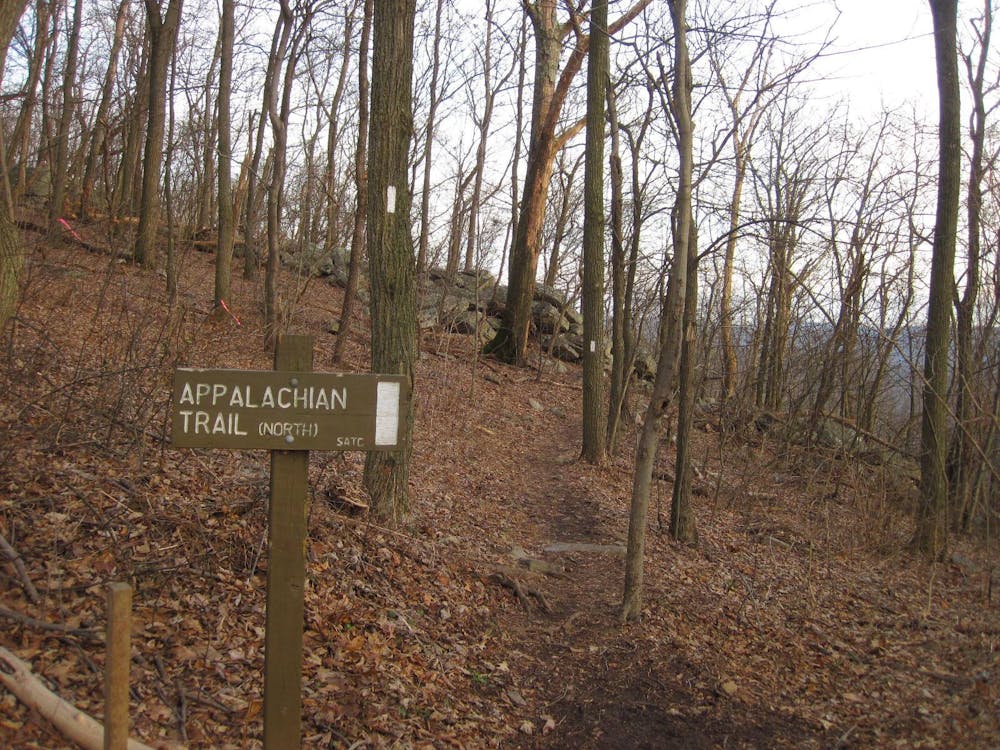
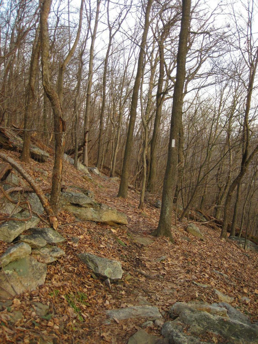
This segment of the Appalachian Trail showcases the long flattop ridges that define the Appalachian Mountains in Pennsylvania. Though this stretch is paralleled by farmlands and small towns in the valleys below, this stretch of trail is quite remote with no notable resupply points along the way.
At the southern terminus for this segment, a large parking area can be found along the railroad tracks. If planning a shuttle or overnight trip, this would be an excellent location to stage a vehicle.
As the trail leaves the parking lot, it spirals and switchbacks above the river, often offering excellent vantage points to the serene river below. For a shorter day hike, the Susquehanna Trail takes a more direct approach to the ridge and can be used to form a loop with the AT. Just beyond the intersection, you'll reach the Clark's Ferry Shelter.
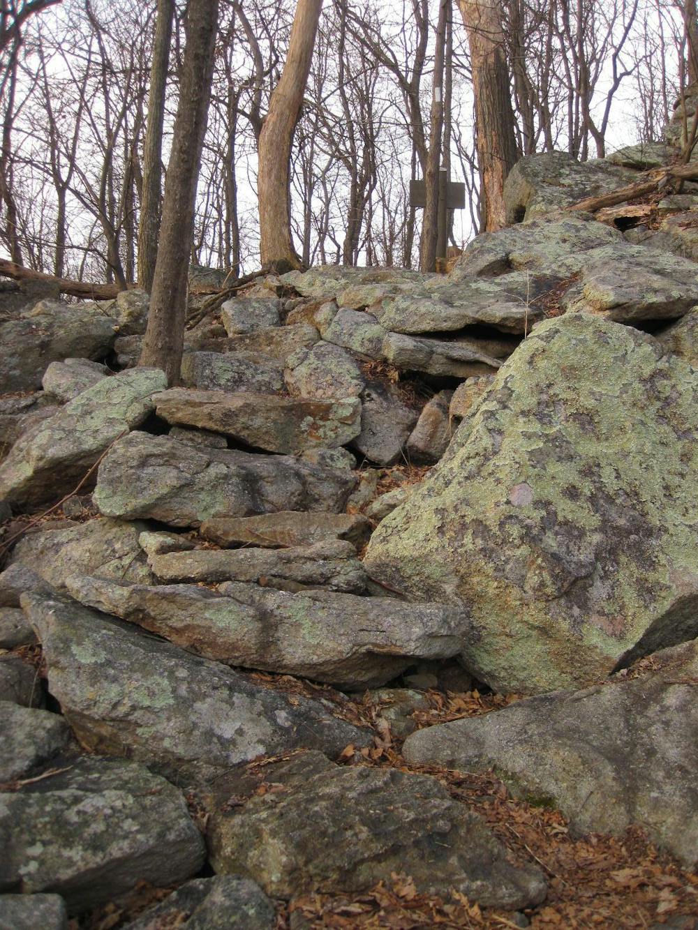
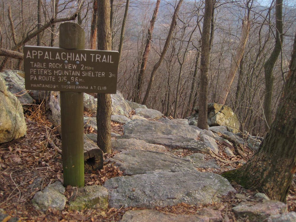
Winding through dense forest and unique rocks, the trail intersects Peters Mountain Road about six miles in. Also referred to as PA-225, this junction serves as another popular access point for the trail that can accommodate at least a dozen vehicles. From there, Table Rock View lies north on the trail and serves as a popular destination for a day hike. The views from this vantage point are particularly good during times of dense, low fog, as the ridge often towers above it.
Crossing Clarks Valley Road, the trail climbs to an adjacent ridge where it continues in a northeast heading. In the vicinity, the historic Stony Mountain Fire Tower and Devils Race Course hiking areas can also be accessed.
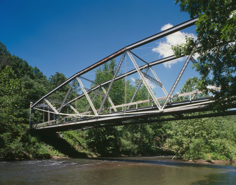
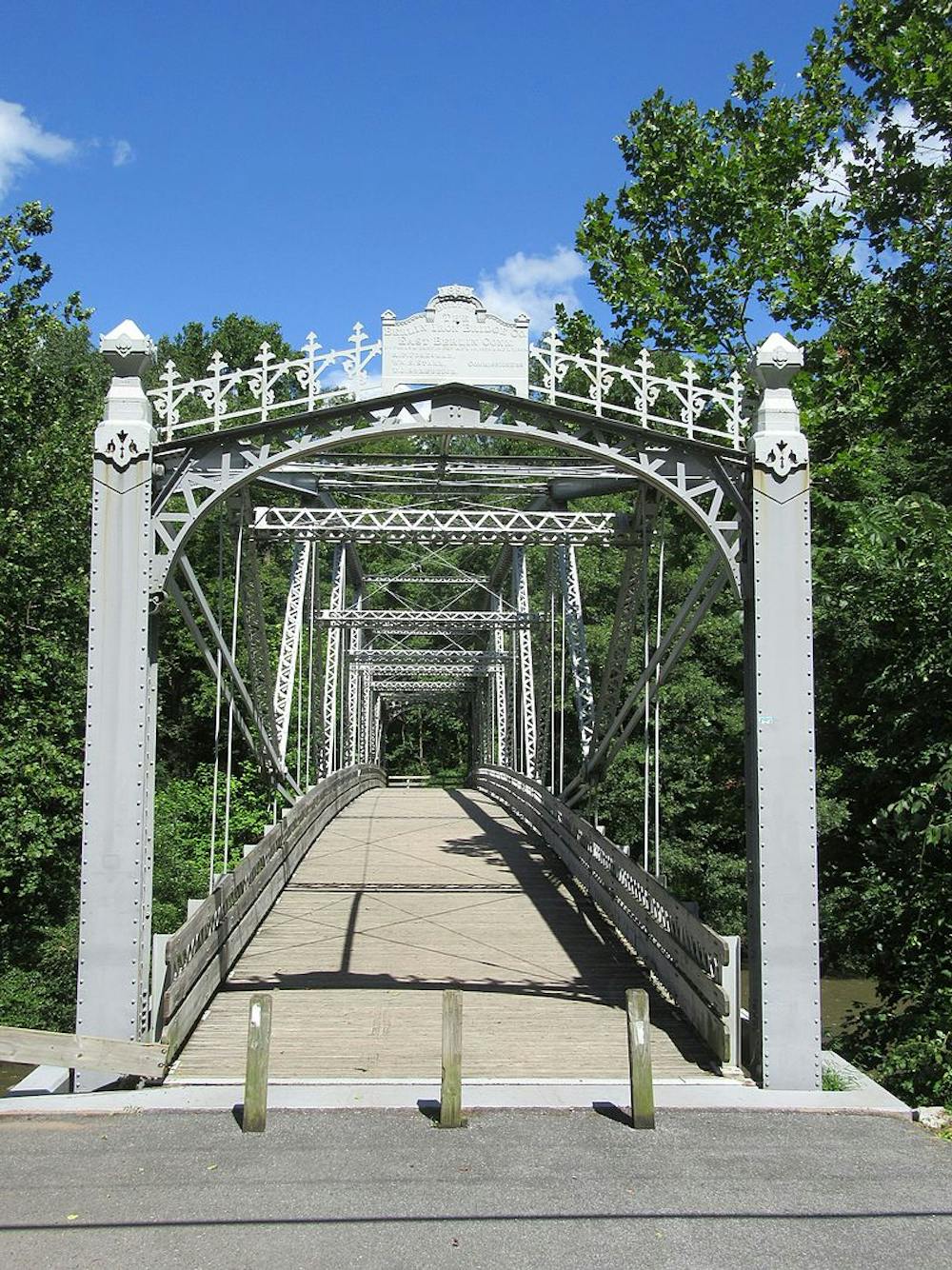
Continuing across State Game Lands 211, the AT intersects the Stony Creek Rail Trail before making its way to Swatara Gap. The Waterville Bridge denotes the end of the segment, and a small parking area lies on the opposing side of the river.
Sources: http://www.stonyvalley.com/firetower.html https://www.satc-hike.org/?fbclid=IwAR0ffSVdAXBBLf2WIVyF60uek6d1wNw4dBT6BkKpb5UMAtzPQl4IQYE4Eiw
Moderate
Hiking along trails with some uneven terrain and small hills. Small rocks and roots may be present.

The trail contains some obstacles such as outcroppings and rock which could cause injury.
Away from help but easily accessed.
58 routes · Hiking