
58 routes · Hiking
A relaxing stretch crossing The Scales and ending at Interstate 81
Hiking Moderate
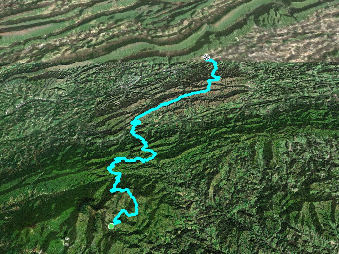
The southern terminus for this segment, Massey Gap, lies within Grayson Highlands State Park. Established in 1965, this region is home to countless outdoor activities including hiking, mountain biking, and horseback riding. Mount Rogers, the highest natural point in Virginia, is adjacent to the park and serves as a popular destination for day hikers.

The Appalachian Trail crosses through Massey Gap within a half a mile of the paved road. An overnight backpackers parking lot is available and a spur trail leads back onto the AT. A significant number of parking spots are available along the road, and the Rhododendron Trail and Horse Trail both lead to Massey Gap.
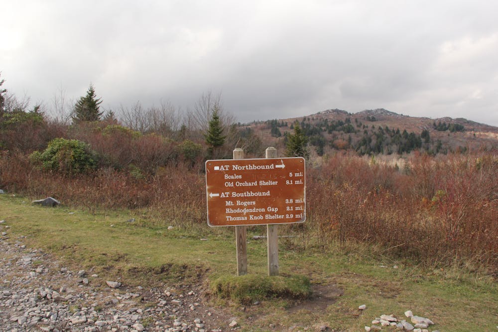
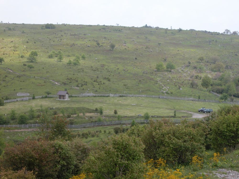
Heading north, the AT passes through a few trail intersections before reaching a grassy clearing as it nears The Scales, around 5,000' above sea level.
According to Abingdon Outdoors, "...the Scales have been for many, many years the eastern gateway to the high country of Mount Rogers, where ranchers brought their cattle to graze in the summer and then sell, during the early 1900s. Livestock was weighed up here (thus the name “Scales”) before the animals trekked back down off the mountain and lost weight (and brought their owners less money when sold)."
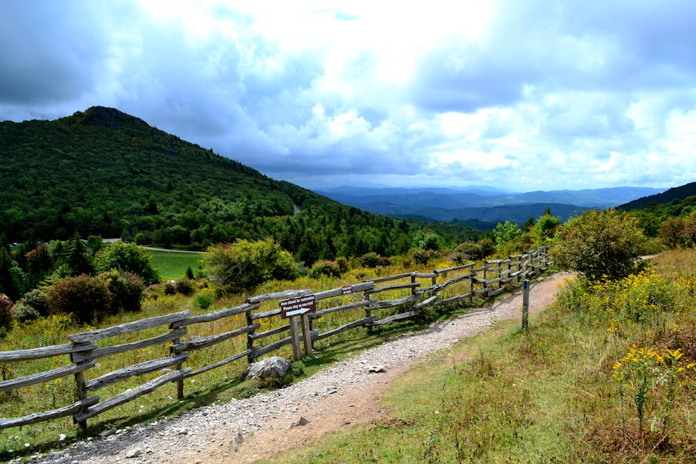
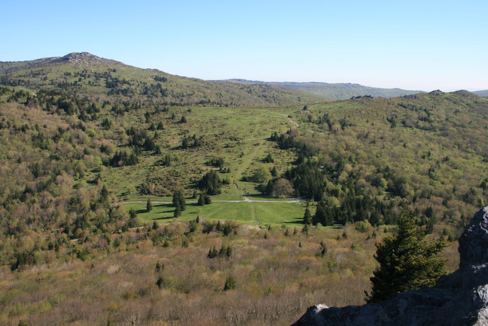
The area isn't much more than a grassy, fenced-in clearing, but it's still an iconic landmark that is arguably the highlight of this segment. The remainder of this segment is typically considered easy to moderate as it continues north.
After entering back into the tree line, the trail meanders through Fox Creek Trailhead, near Hurricane Campground, and onto Dickey Gap. Crossing Teas Road, the trail winds up and onto a ridgeline, where it remains for the next several miles. As the trail banks north, it crosses over another ridge before reaching Glade Mountain at 4,100'.
One forest road lies ahead as the trail leads into the small, uneventful town of Atkins. While quaint, there are still enough resources for a thru-hiker to resupply before crossing Interstate 81 and continuing north.
Sources: https://www.whiteblaze.net/forum/showthread.php/72427-Massey-gap-to-Interstate-81-below-Atkins-Va https://thetrek.co/appalachian-trail/appalachian-trail-town-spotlight-atkins-va/ https://abingdonoutdoors.com/2012/07/14/the-scales/ https://en.wikipedia.org/wiki/GraysonHighlandsStatePark#Hikingtrails https://www.whiteblaze.net/forum/showthread.php/72427-Massey-gap-to-Interstate-81-below-Atkins-Va
Moderate
Hiking along trails with some uneven terrain and small hills. Small rocks and roots may be present.

The trail contains some obstacles such as outcroppings and rock which could cause injury.
Away from help but easily accessed.
58 routes · Hiking