8 routes · Hiking
Winding through farmlands, across the Boardwalk, and into Wawayanda State Park.
Also in New Jersey, United States of America
Hiking Difficult

Beginning at the trailhead along NJ-23, the trail parallels Scenic Drive as it makes its way to the High Point Observation Deck. After taking in some views, take the spur trail that leads to the summit of Kittatinny Mountain, the highest point in New Jersey. Atop the summit, you'll find the iconic 220-foot-tall High Point Monument, completed in 1930. You will also be welcomed with a vantage point at which you can view the surrounding valleys, mountains, forests, and farmlands of three states at once. The High Point Shelter lies just north on the AT beyond the summit.
Contrasting the remote ridgeline traverses south of High Point State Park, the AT makes its way into lower farmlands where it climbs up and over several smaller ridges. Straddled between Mount Salem Road and the NY/NJ state line, you will encounter countless road crossings as well as opportunities to resupply in small towns.
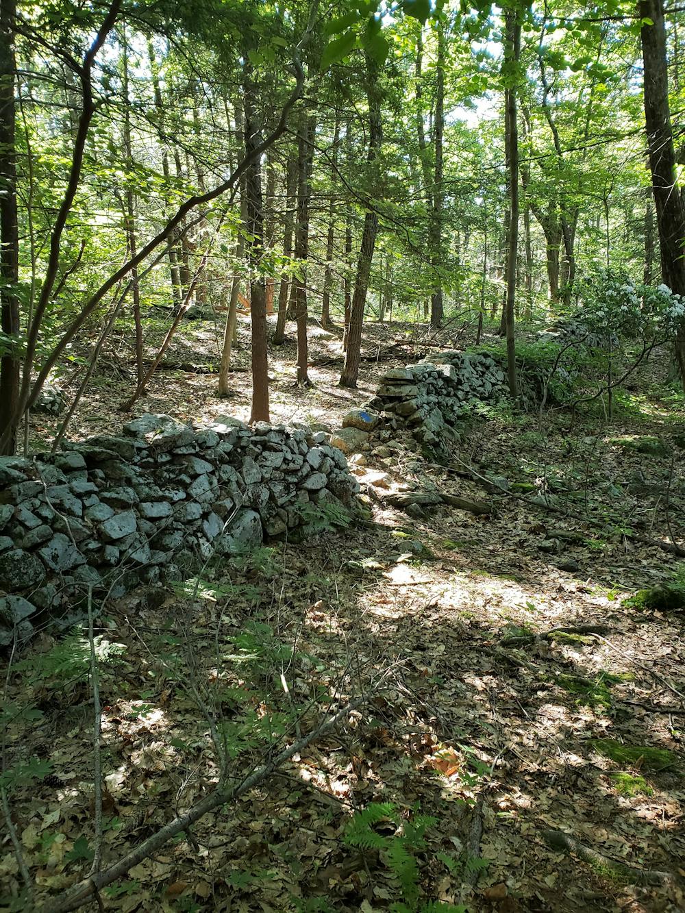
After a brief detour into New York, the AT routes around a few farmlands before entering an area referred to as Pochunk Mountain. According to Wikipedia, "The name Pochuck is a Lenape word meaning 'out-of-the-way place.'" It is suggested that the name is derived due to its unusually high prominence, with Vernon Valley separating it from other mountains in the region.
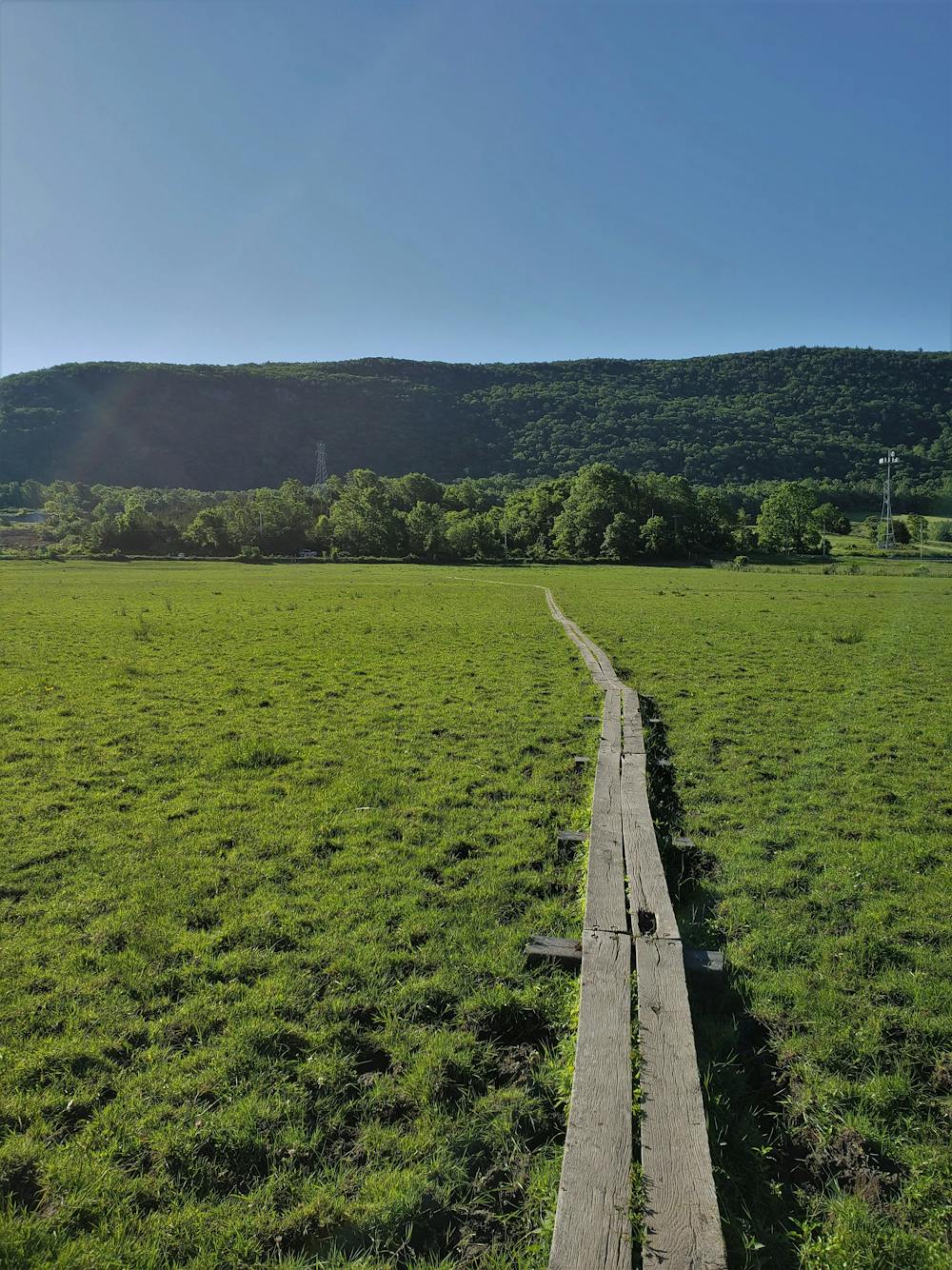
Heading north along the trail, you'll skirt around neighborhoods and across roads as you make your way toward the iconic AT Boardwalk. Winding through a bog, this boardwalk is a popular area for both locals and visiting tourists looking for a short walk with beautiful views of the surrounding bog. A suspension bridge crosses over a creek and denotes the end of the boardwalk.
As you reach Vernon Warwick Road, cross over a railroad track before passing through another farm often occupied by cattle. A market just a short walk up the road makes this junction a popular hub to resupply and have lunch.
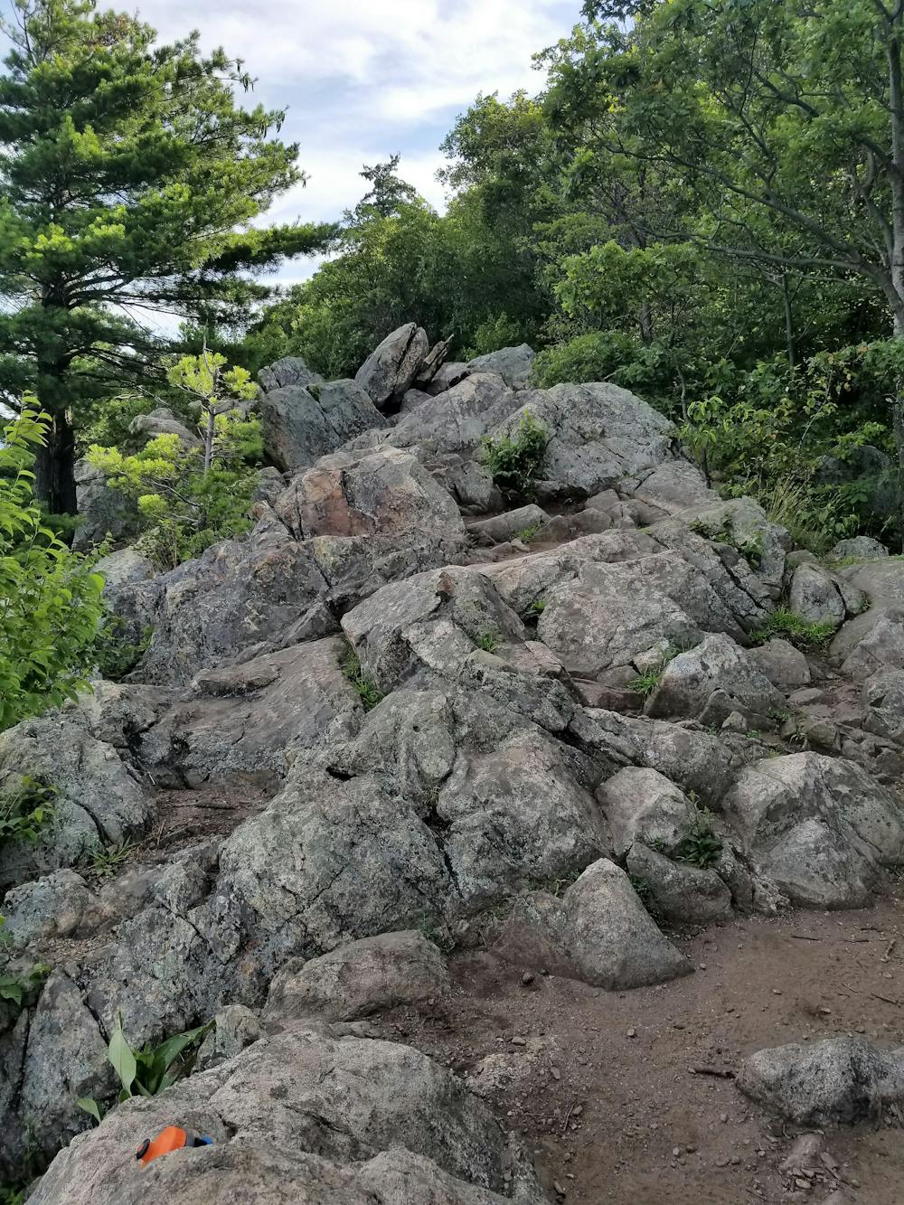
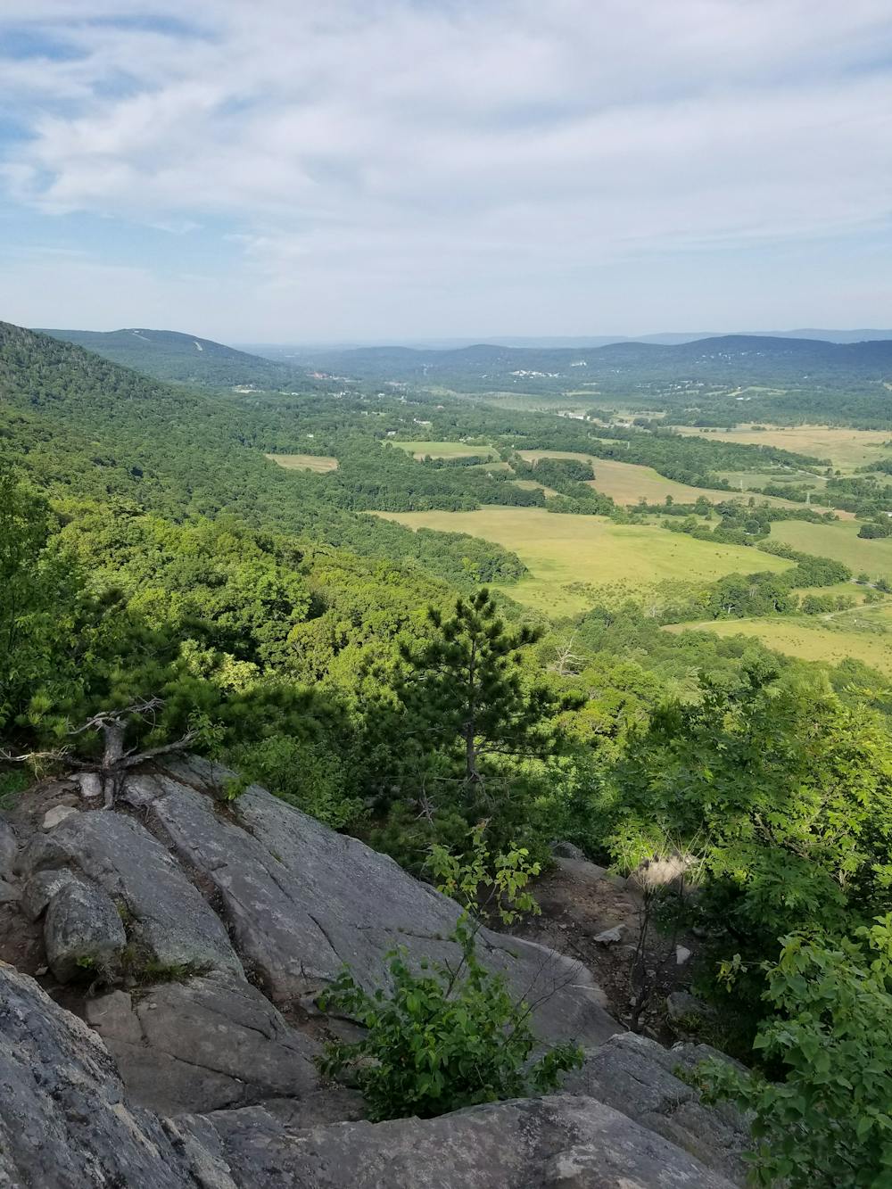
In contrast to the valley below, the trail leaves the road and makes a rugged climb up what is commonly referred to as the "Stairway to Heaven". Atop the ridge, you'll be welcomed with phenomenal views of Vernon Valley. A spur trail leads away from the main overlook and to an adjacent one that is little visited.
North on the AT, you'll pass through a seemingly remote stretch through Wayawanda State Park lined with picturesque flora and fauna, as well as a couple of small, serene ponds.
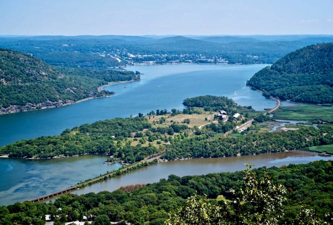
Reaching the official NJ/NY state line, the trail climbs atop Bellvale Mountain where it traverses a ridge paralleling Greenwood Lake below. Vistas line the way as you continue to NY-17A, sometimes referenced as the Mount Peter Trailhead. A parking area lies within sight as you reach the road, and a couple of options for food make this a popular stop for thru-hikers.
Sources: https://en.wikipedia.org/wiki/PochuckMountain#citenote-1 https://en.wikipedia.org/wiki/HighPointStatePark
Difficult
Hiking trails where obstacles such as rocks or roots are prevalent. Some obstacles can require care to step over or around. At times, the trail can be worn and eroded. The grade of the trail is generally quite steep, and can often lead to strenuous hiking.

The trail contains some obstacles such as outcroppings and rock which could cause injury.
Away from help but easily accessed.
8 routes · Hiking

58 routes · Hiking