
58 routes · Hiking
A stretch of the AT through Maine known for its summit of Baldpate and Bemis Mountains.
Hiking Difficult

This segment of the Appalachian Trail begins at Grafton Notch, where the trail crosses ME-26. A relatively large trailhead lies on the west side of the road, just south of the trail.
Grafton Notch State Park is among one of the top backpacking and hiking destinations in Maine and is best known for its waterfalls, caves, and wildlife. VisitMaine.com even proclaims it is home to "...12 of the most challenging miles along the entire Appalachian Trail."
Follow the white blazes north as the trail climbs and passes the Table Rock Trail. Pair the AT with the spur trail for a popular day hiking loop, offering an excellent viewpoint from Table Rock.
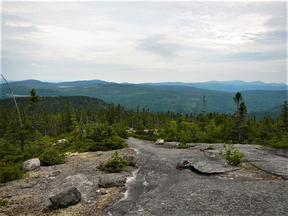
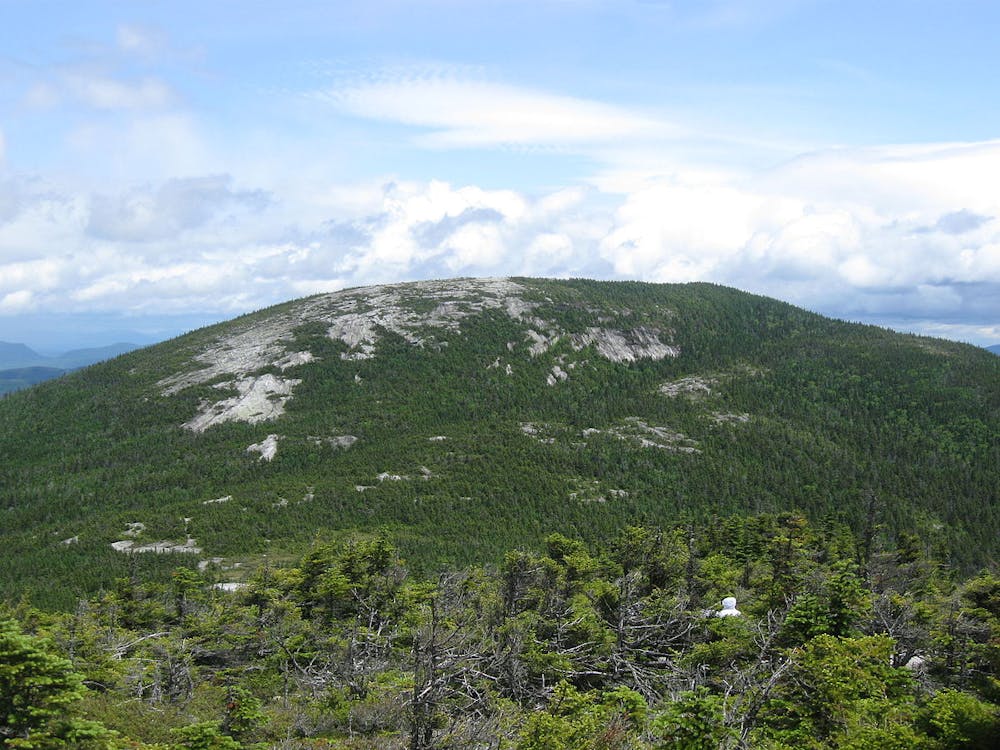
Further north, the trail passes a lean-to shelter before reaching the summit of Baldpate Mountain. From here, you'll summit both the west and east peaks, scoring plenty of views along the way.
Ahead, the AT passes over Surplus Mountain before intersecting a few remote roads. Summit the next few smaller peaks, enjoying the view along the way before continuing to Arm Road. This area is popular among day hikers, as the views are endless.
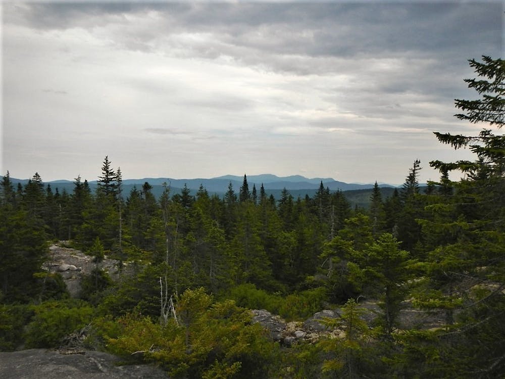
Old Blue Mountain, the next peak, lies ahead. The summit is only 2.6 miles from the road, making it a great option if you want a quiet day hike. Brush and stunted trees give way to some partial views, but no major overlook.
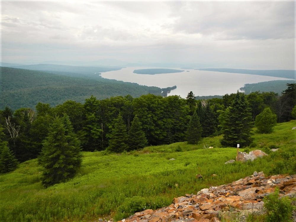
Ahead, the AT skirts a heavily logged area before summiting Bemis Mountain, a popular destination. Along the ridge, expect some killer views of nearby lakes before continuing to the northern terminus at ME-17.
At Rumford Pond Road, look for the trailhead north along the road. From this parking lot, many people pair the Appalachian Trail with a side trail that parallels Bemis Stream in the valley below. This 14-mile loop offers phenomenal views from along the ridge, as well as the option to camp at the Bemis Mountain Lean-To.
Sources: https://visitmaine.com/things-to-do/parks-natural-attractions/grafton-notch-state-park https://www.mainetrailfinder.com/trails/trail/grafton-notch-state-park-baldpate-mountain-and-table-rock-loop https://mainebyfoot.com/old-blue-mountain-near-andover/ https://www.mainetrailfinder.com/trails/trail/appalachian-trail-bemis-mountain-and-bemis-stream-loop
Difficult
Hiking trails where obstacles such as rocks or roots are prevalent. Some obstacles can require care to step over or around. At times, the trail can be worn and eroded. The grade of the trail is generally quite steep, and can often lead to strenuous hiking.

The trail contains some obstacles such as outcroppings and rock which could cause injury.

Little chance of being seen or helped in case of an accident.
58 routes · Hiking